Trail Overview
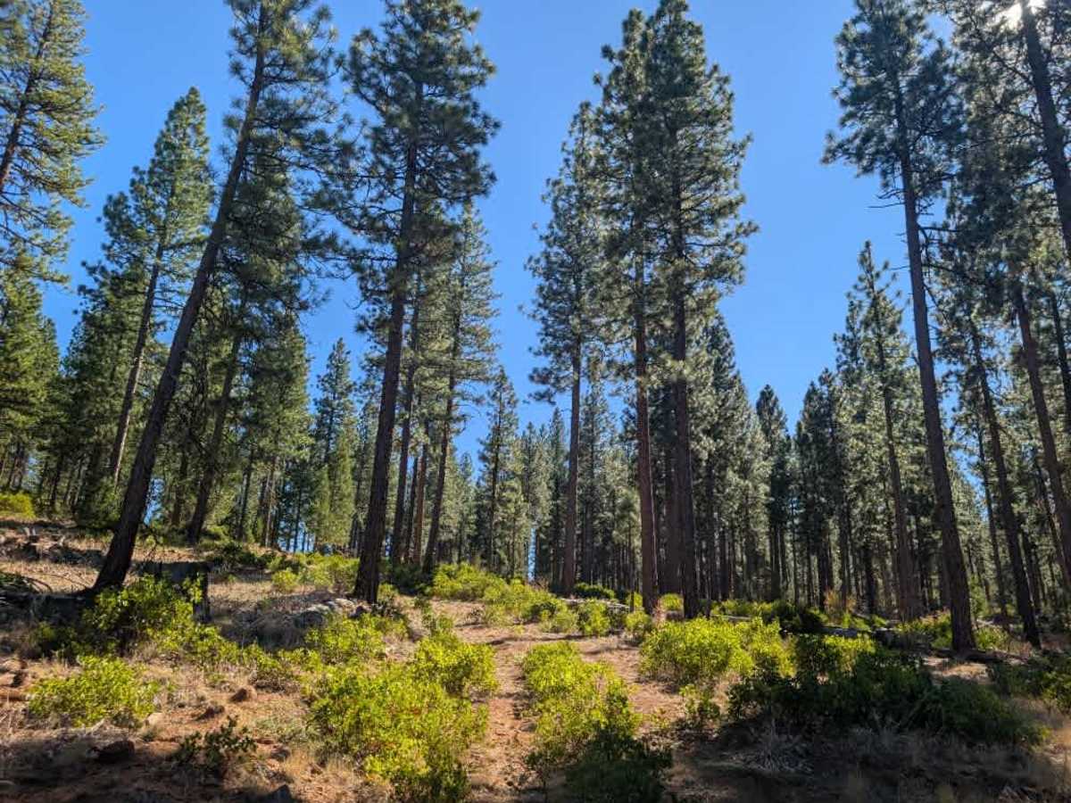
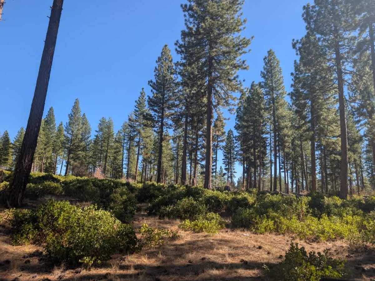
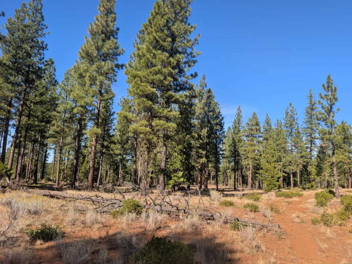
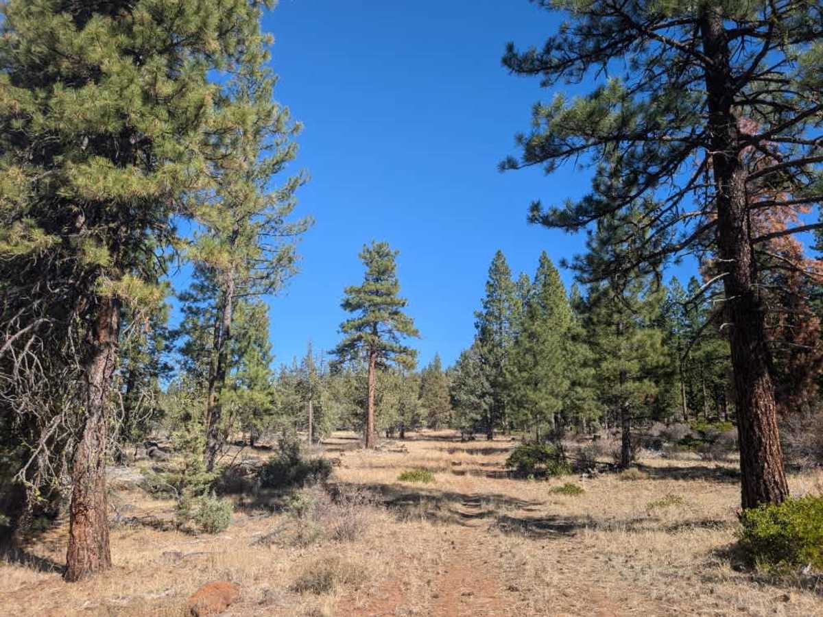
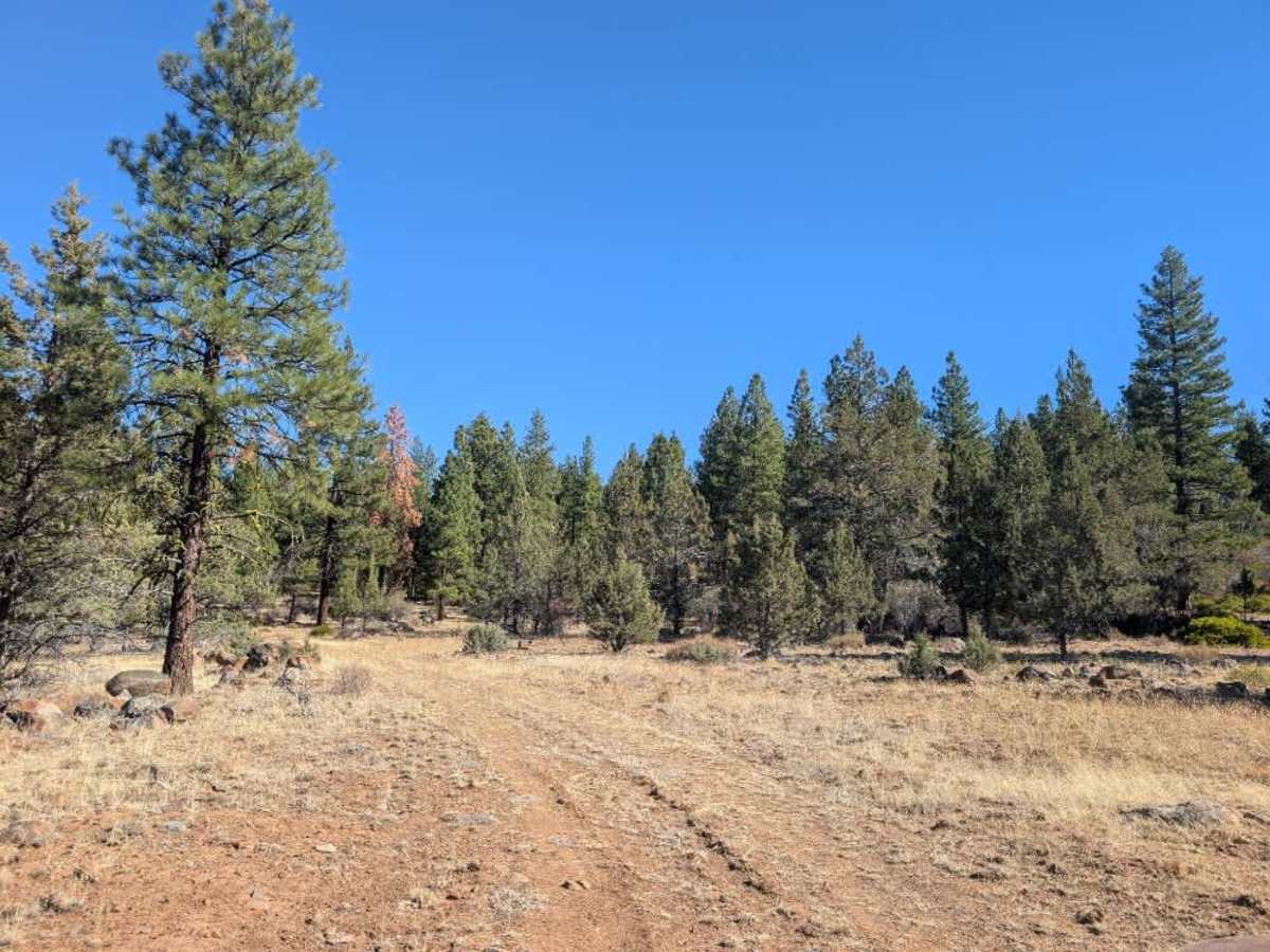
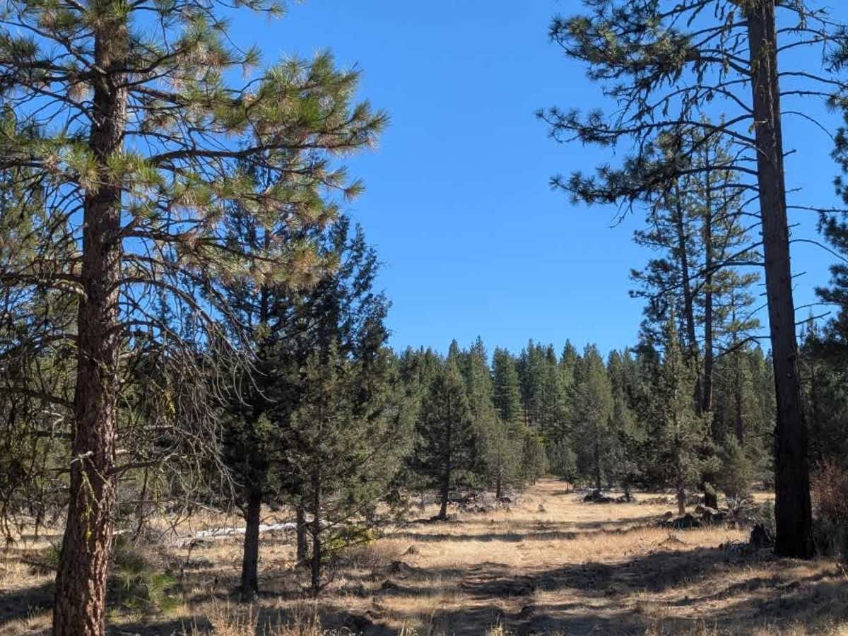
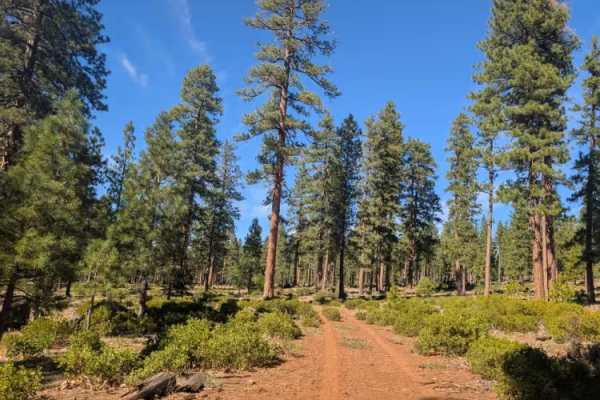
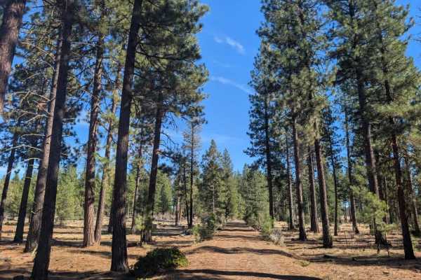
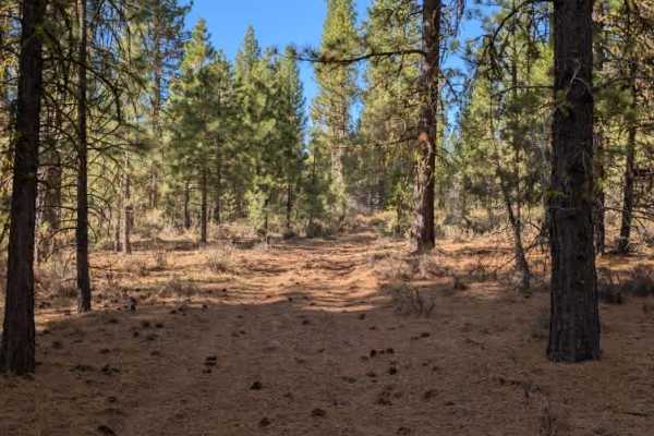
This trail climbs gradually into a heavily forested area, where rocky ground, thick undergrowth, and numerous fallen trees make for an interesting but somewhat uncomfortable drive. The forest is quite messy, with plenty of downed timber and debris scattered across the route, much of which appears not to have been cleared in some time. Drivers will need to navigate around fallen trees, and in a few places, alternate paths have formed where others have worked their way around the obstructions. Large rocks and several deep irrigation ditches and washouts add to the uneven surface. The route isn’t particularly difficult or technical, but it can be rough and awkward to navigate. In places, the trail is hard to distinguish because of limited vehicle traffic and heavy vegetation, giving it a less-traveled feel. It eventually reaches a clearly overgrown endpoint where the route ends. ATVs, UTVs, Side-by-Sides, and Dirt Bikes must always have a valid California ATV Operating Permit sticker.
Difficulty
The trail is rough and uneven, with fallen trees, large rocks, deep ditches, and washouts requiring careful maneuvering.