Trail Overview
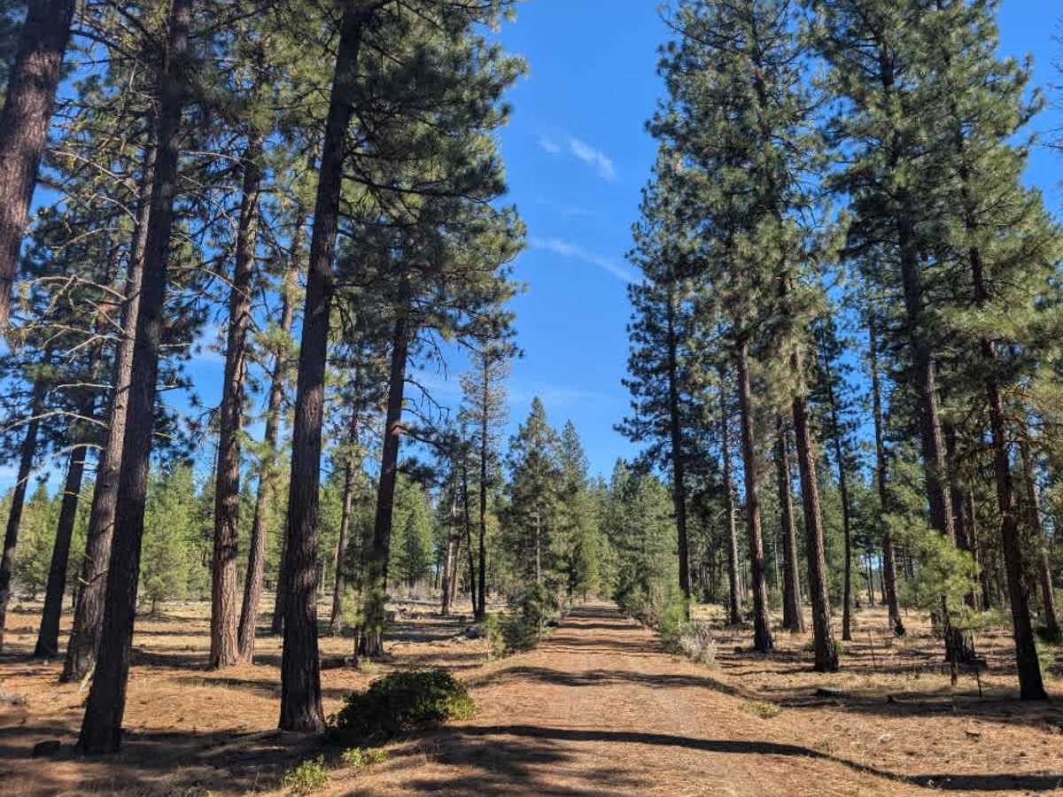
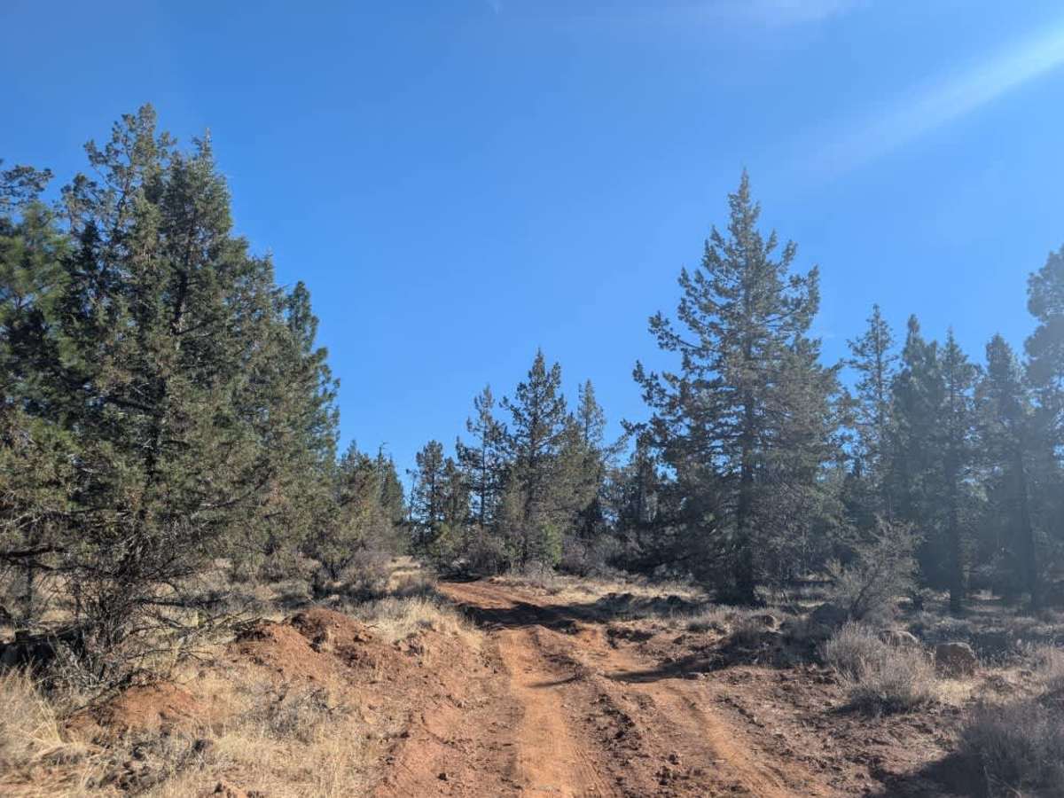
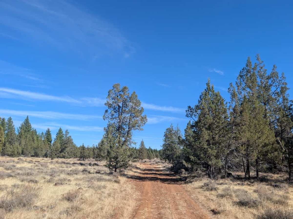
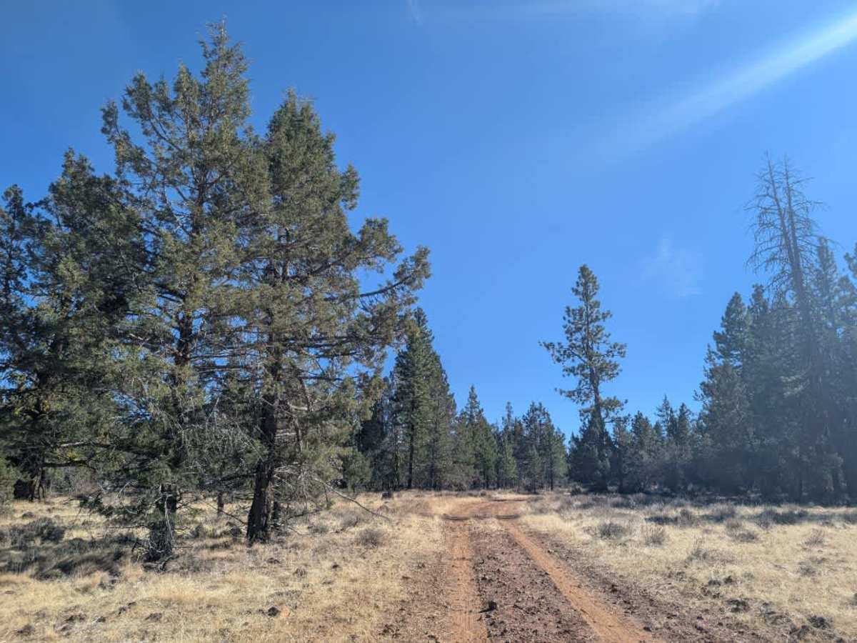
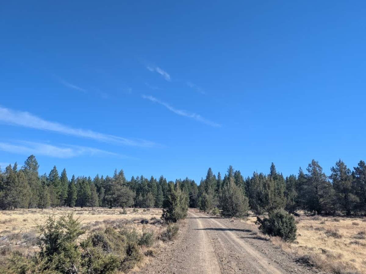
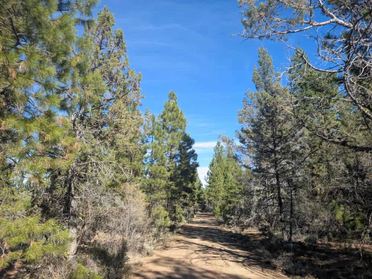
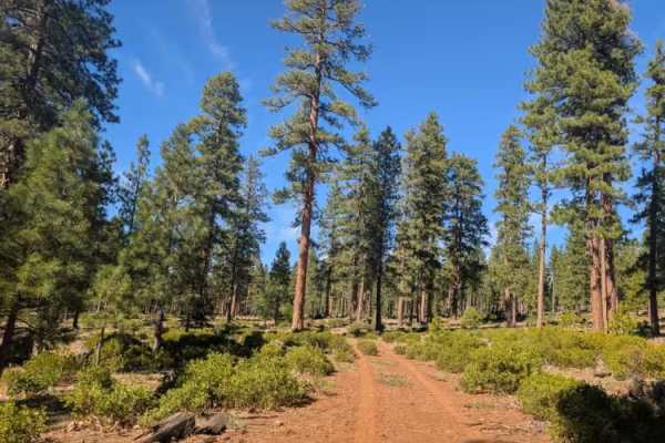
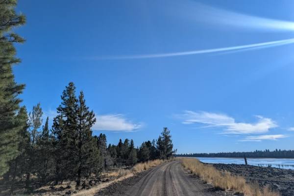
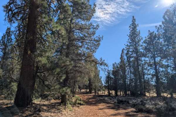
This route starts out fairly smooth before becoming increasingly rocky as it crosses an open plain near the reservoir. The road eventually splits to the left and continues through a mix of open terrain and forest. Surface conditions vary along the way, with rough, rocky sections giving way to softer ground covered in pine needles, acorns, and thin grass. There are several places where you can potentially set up camp, including a larger clearing at the end with a substantial stone fire pit that could accommodate a group. A few fallen trees have also been worked around with alternate paths. Wild horses are frequently seen in this area, and there is even a designated watering and feeding spot with salt and water available. One section deserves extra caution, particularly during the rainy season, when deep muddy ditches can make the route extremely difficult to navigate. High clearance is recommended there, or you can turn around before reaching it. The route can also be confusing where smaller tracks branch off, so pay attention to your navigation. This trail has no direct connection to Reservoir F Campground, so don’t use it as a shortcut. ATVs, UTVs, Side-by-Sides, and Dirt Bikes must always have a valid California ATV Operating Permit sticker.