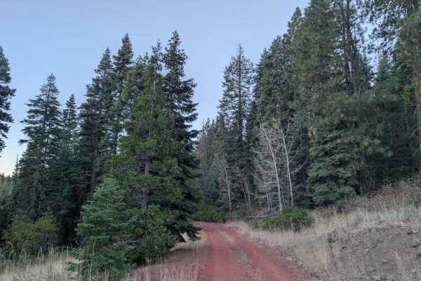
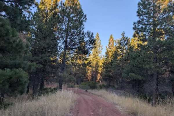
Trail Overview
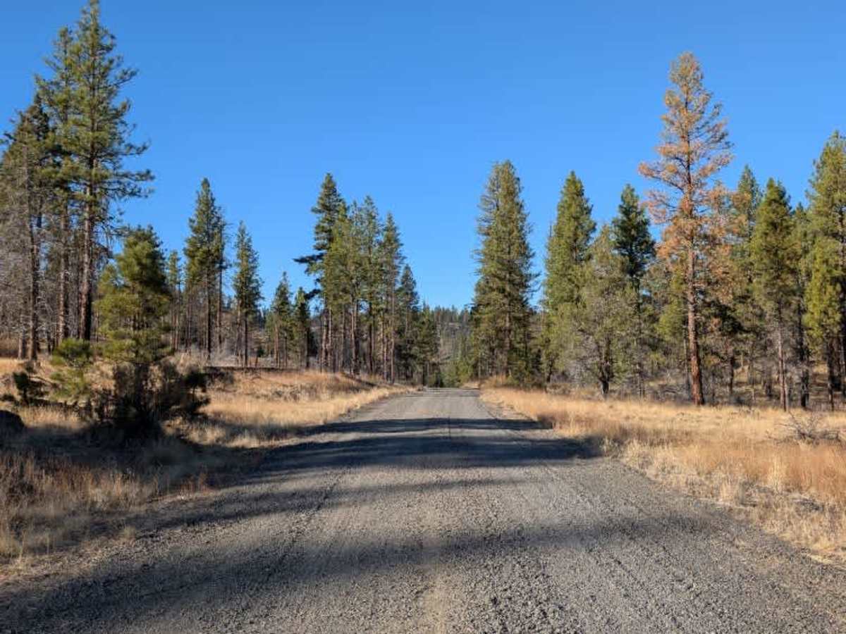
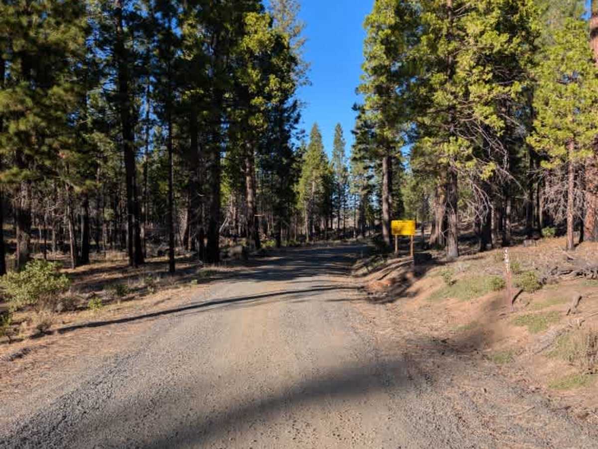
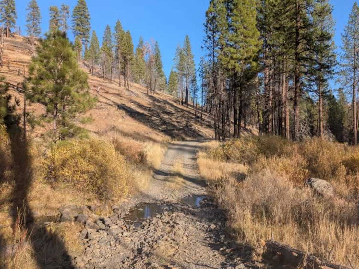
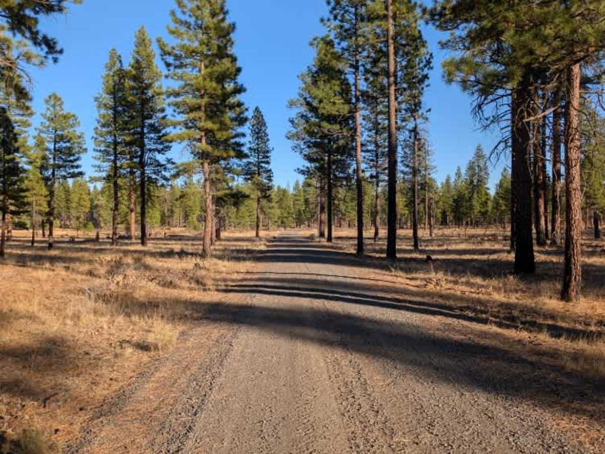
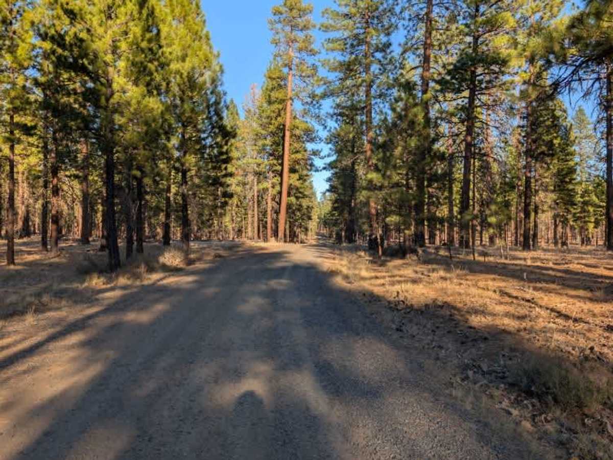
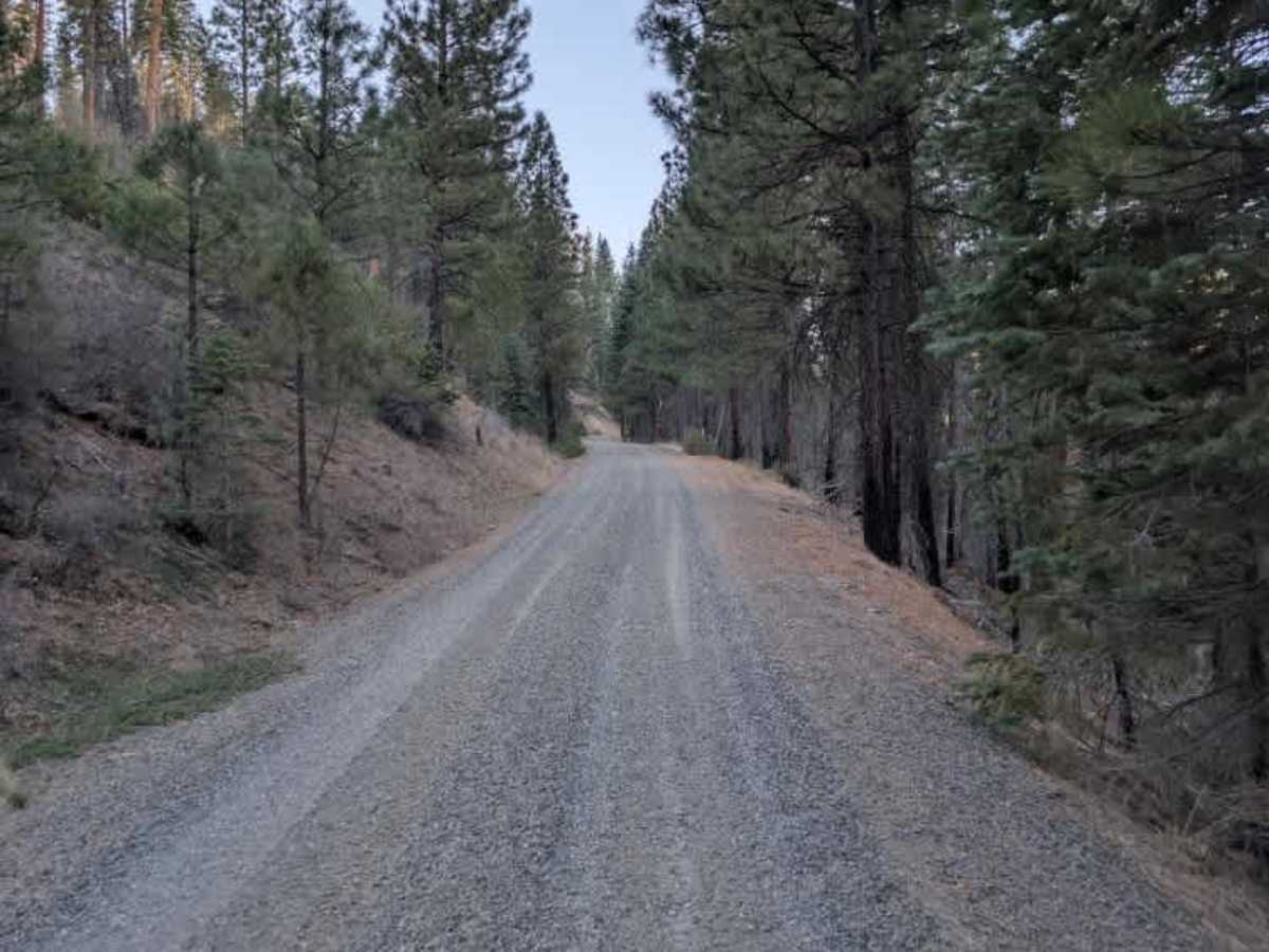
This trail is mostly straightforward, but a couple of sections require a little extra care. A small stream crossing runs along the route, so take it slowly and assess the water before driving through. The surface also changes in places, particularly around the switchbacks, where loose or uneven material may make things more challenging for some vehicles. Use caution through these sections and choose your line carefully, especially when navigating the tighter turns. Overall, this is a useful connecting route between the lower Cottonwood Flat Campground area and FS 42N60, but the stream crossing and changing surface conditions are worth keeping in mind before setting out. ATVs, UTVs, Side-by-Sides, and Dirt Bikes must always have a valid California ATV Operating Permit sticker.
Difficulty
This is a relatively easy route, though the small stream crossing and loose, uneven sections around the switchbacks require some extra care.