FS 42N88

Total Miles1.7
Technical Rating
1Easy
Best TimeSpring, Summer, Fall
Trail TypeFull-Width Road
Accessible By
Open Trail Map

Trail Overview

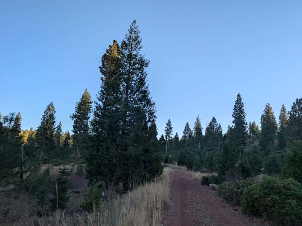
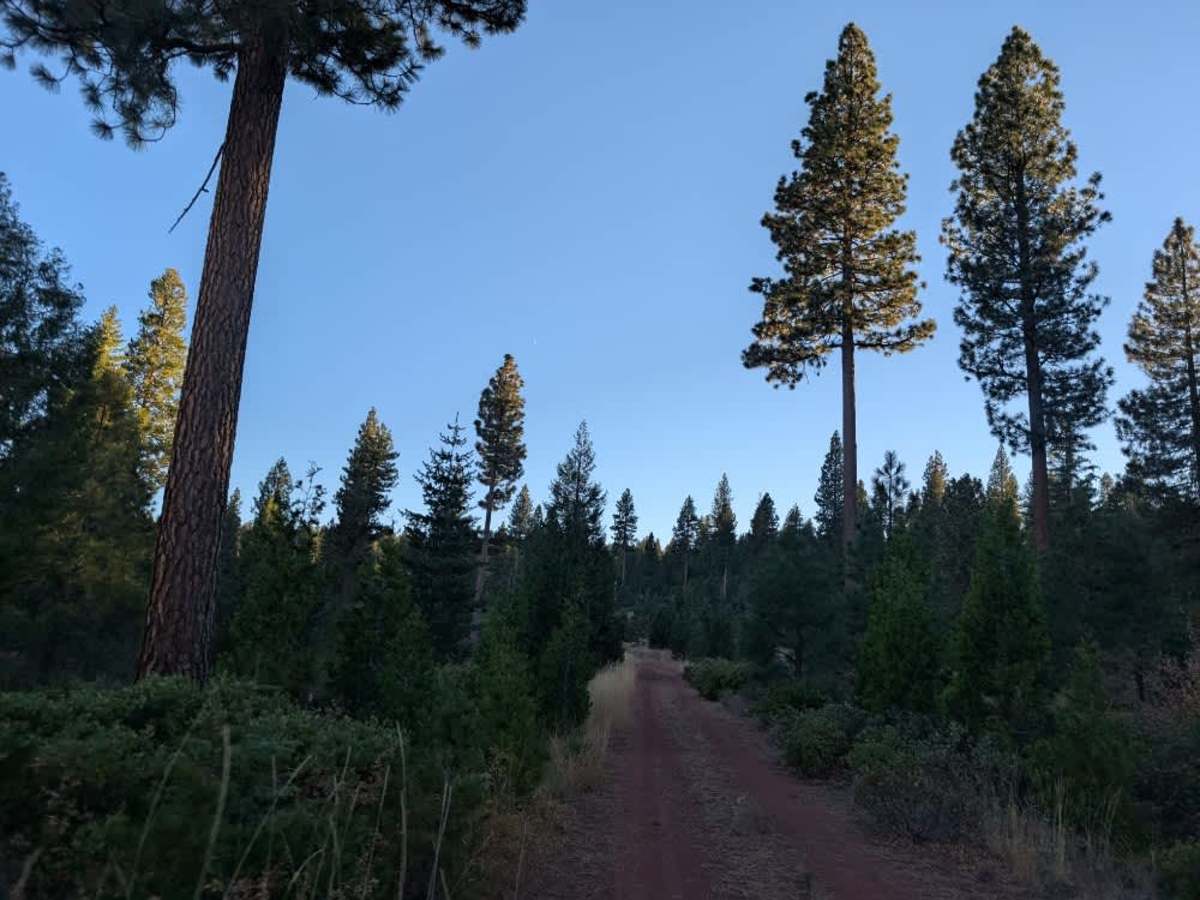
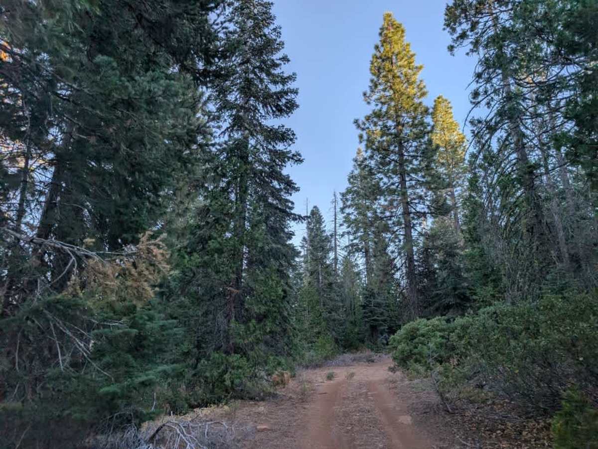
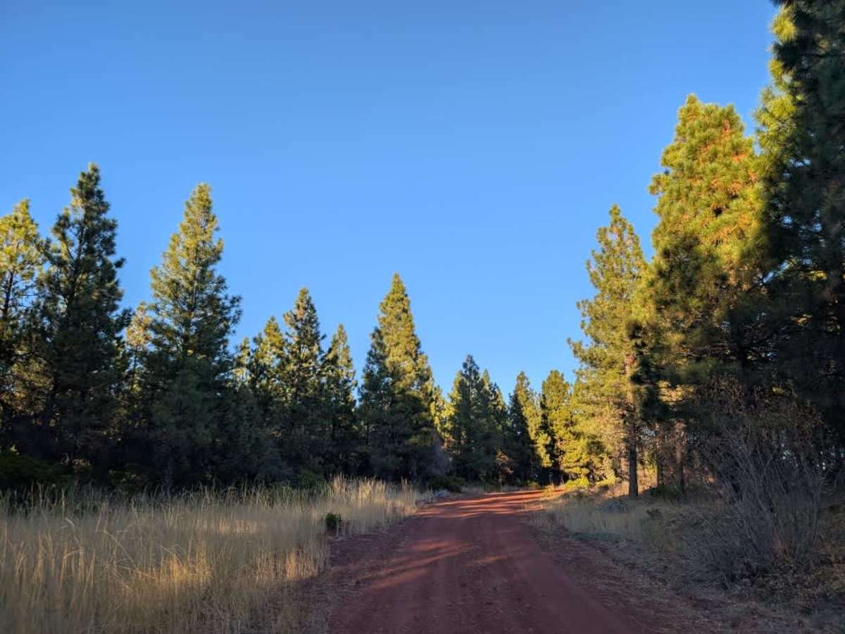
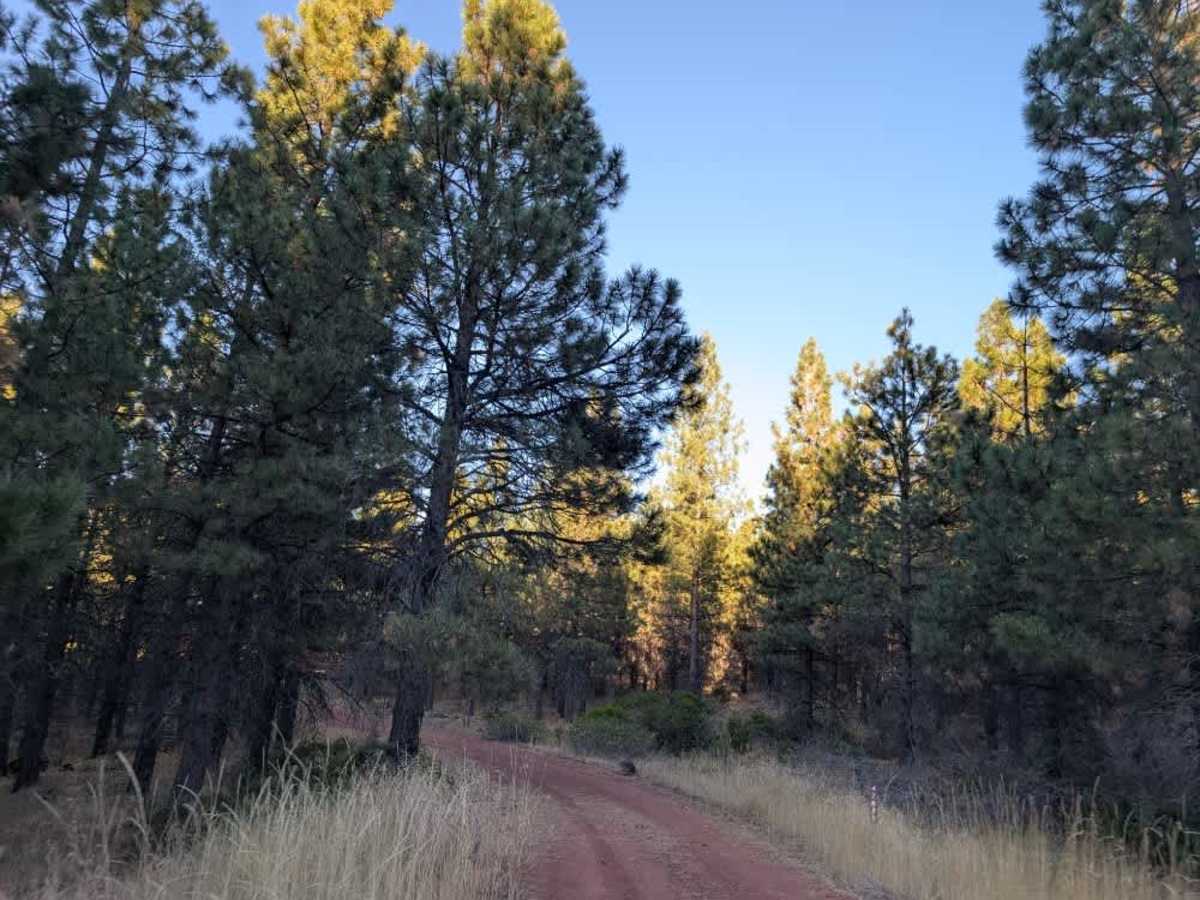
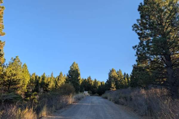
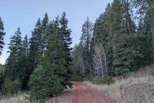
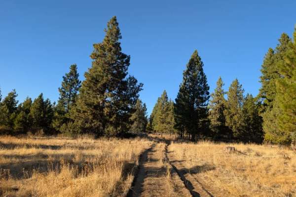
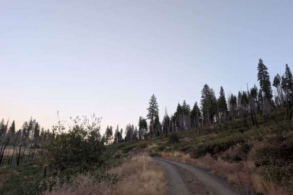
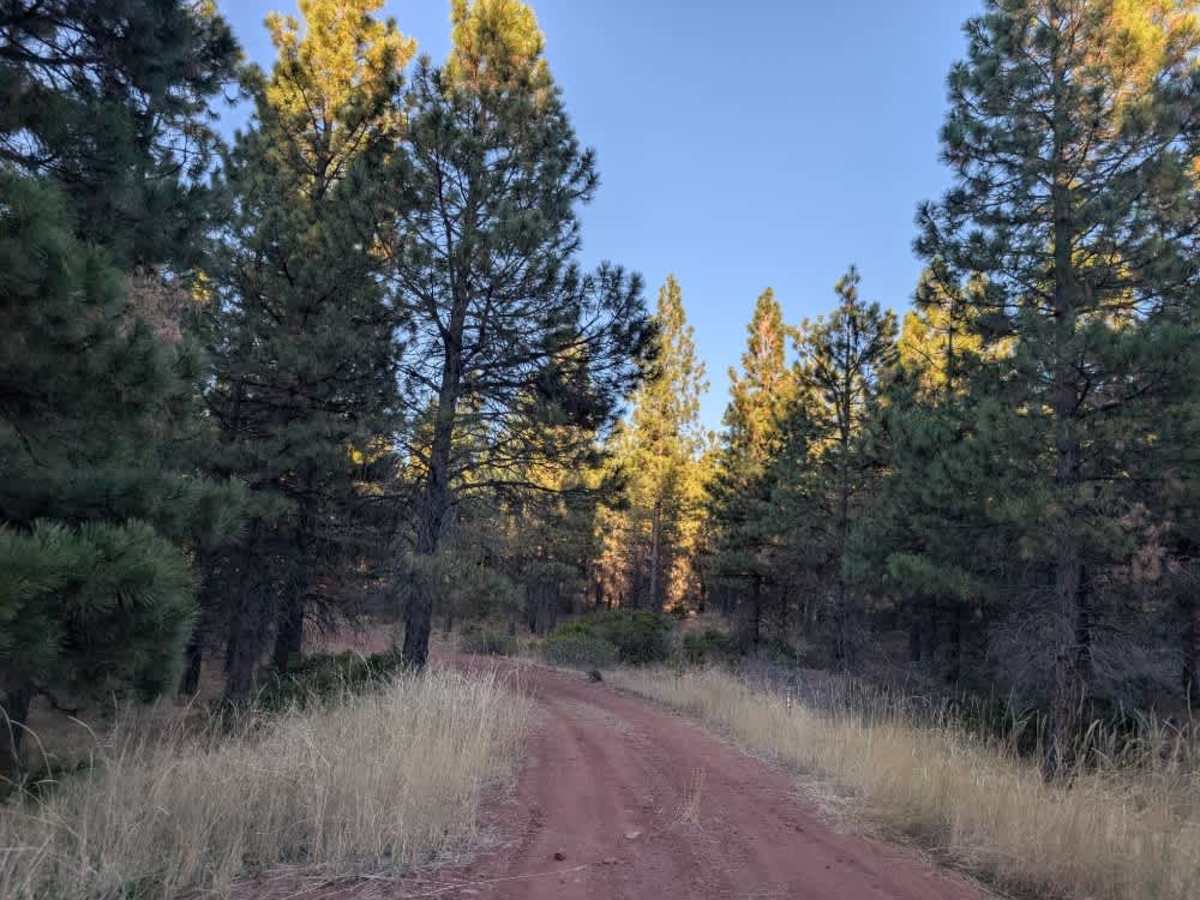
This trail starts as a fairly well-maintained gravel road with bright red soil, winding through the forest with a mix of smaller trees and saplings growing close to either side. Some light pinstriping is possible, particularly for wider vehicles, as branches and vegetation occasionally encroach on the road. Further along, the terrain changes noticeably where the red gravel transitions to silty brown soil. From this point, the road climbs gradually into the mountain, becoming rockier, more uneven, and slightly off-camber in places. The change in surface is quite distinct, although the incline itself is not particularly steep. The route eventually ends in a rocky, uneven area with large stones, which does not offer suitable dispersed camping. One additional trail branches off along the way, with primitive camping opportunities in the area, although the condition of the side route is unknown. ATVs, UTVs, Side-by-Sides, and Dirt Bikes must always have a valid California ATV Operating Permit sticker.

Photos of FS 42N88

Difficulty

The road becomes increasingly rocky and uneven as it climbs, with some off-camber sections requiring careful navigation.

Technical Rating

1

FS 42N88 Trail can be accessed by the following ride types:

  • Single Track
  • 50 Inch
  • 60 Inch
  • High Clearance
  • Full Width

FS 42N88 Map

The onX Offroad Difference

onX Offroad combines trail photos, descriptions, difficulty ratings, width restrictions, seasonality, and more in a user-friendly interface. Available on all devices, with offline access and full compatibility with CarPlay and Android Auto. Discover what you're missing today!

Open Trail Map