Sherer Spring

Total Miles1
Technical Rating
1Easy
Best TimeSpring, Summer, Fall
Trail TypeFull-Width Road
Accessible By
Open Trail Map

Trail Overview

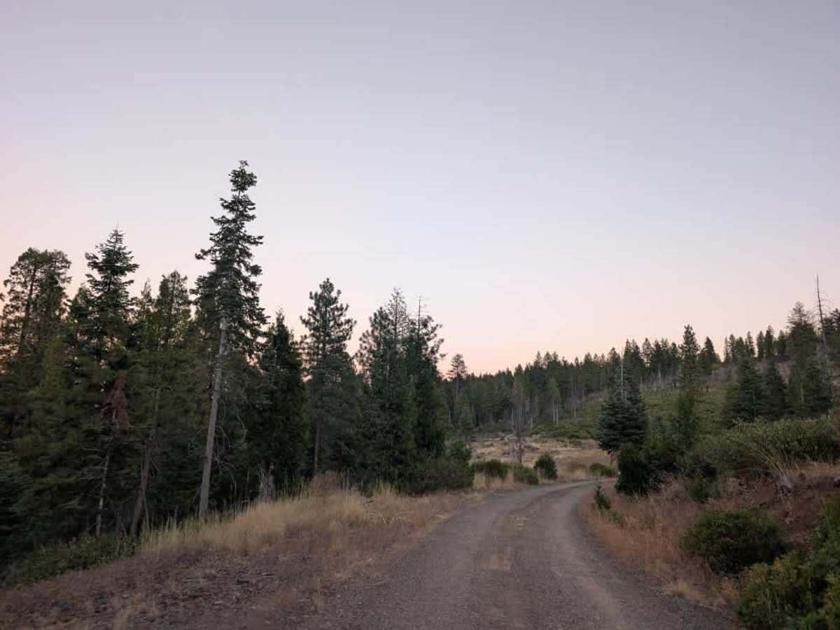
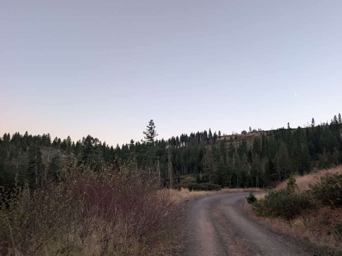
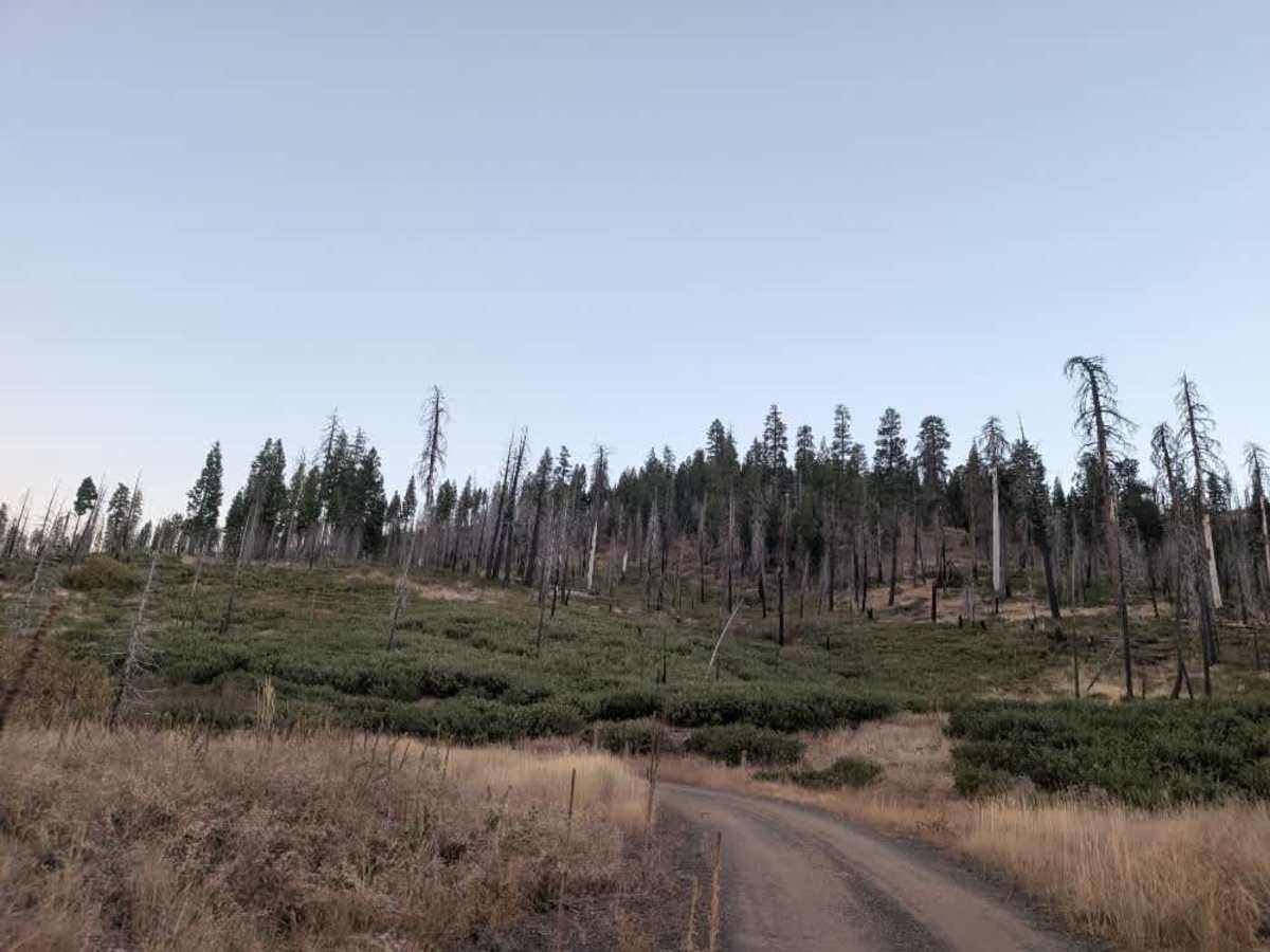
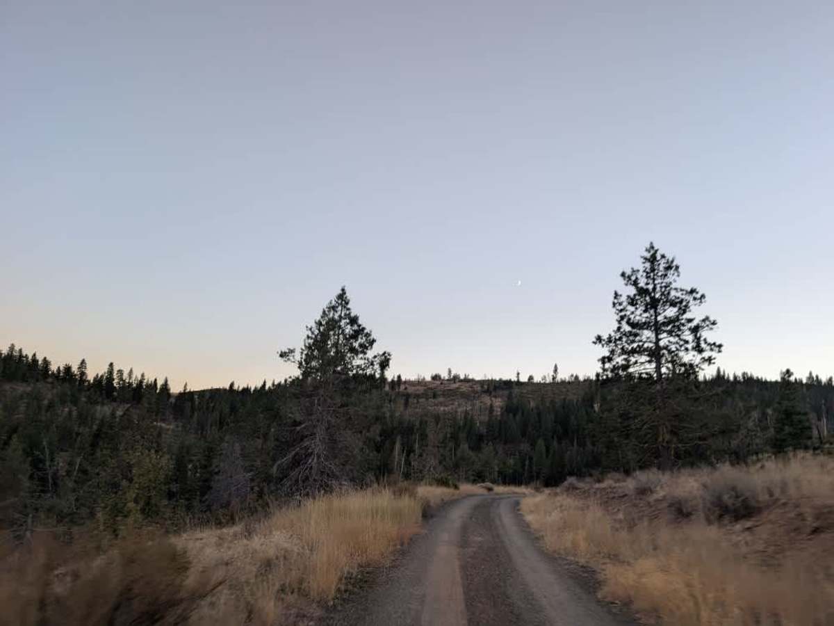
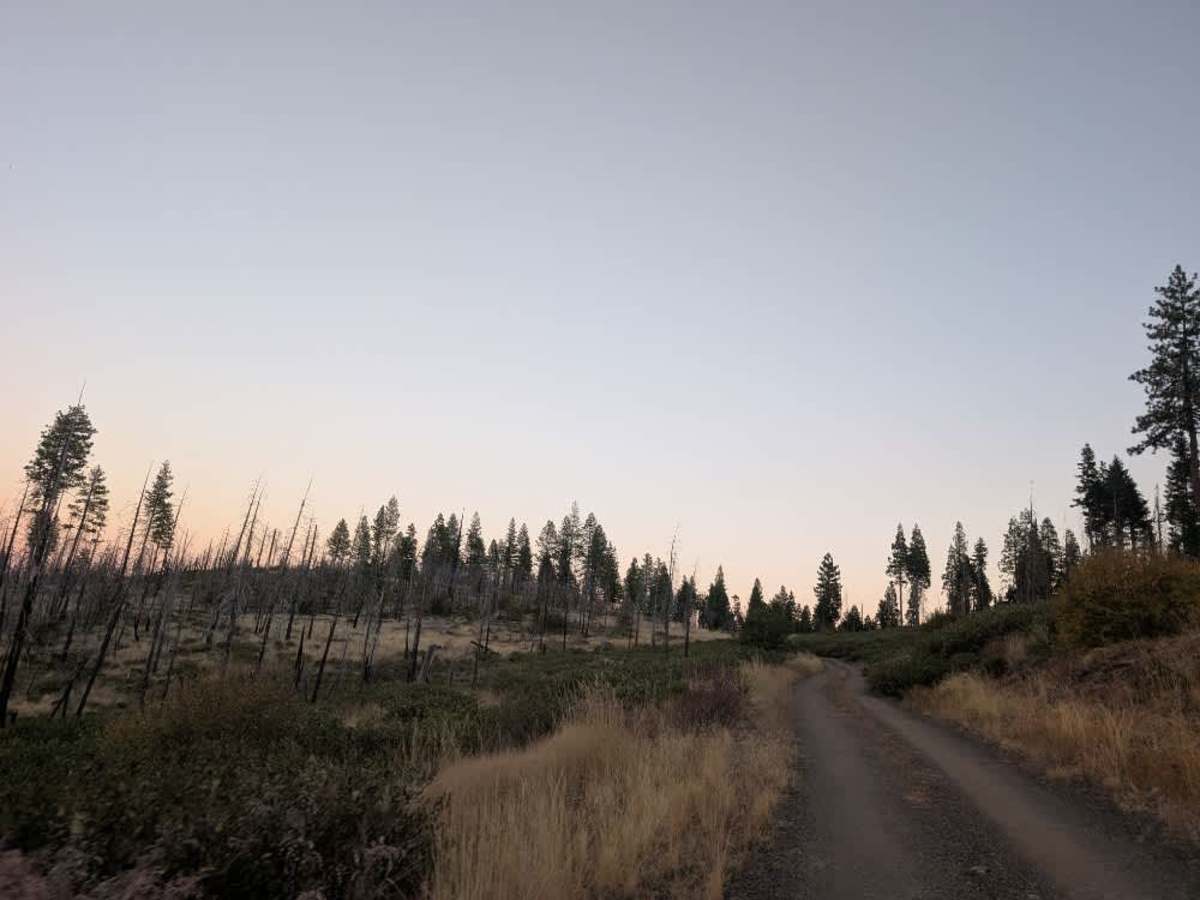
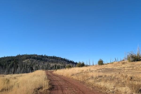
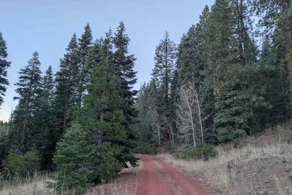
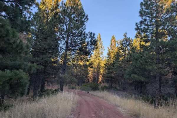
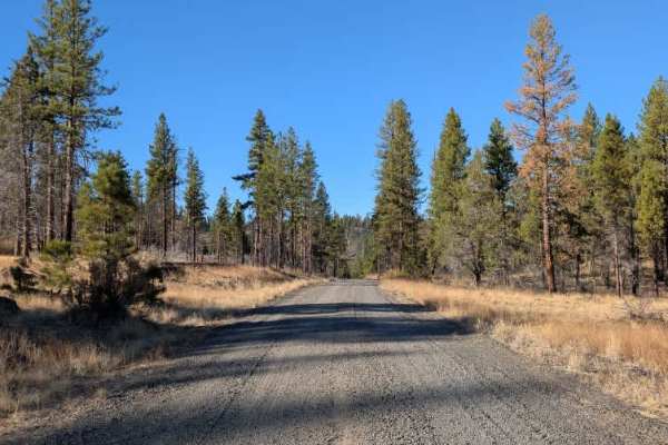
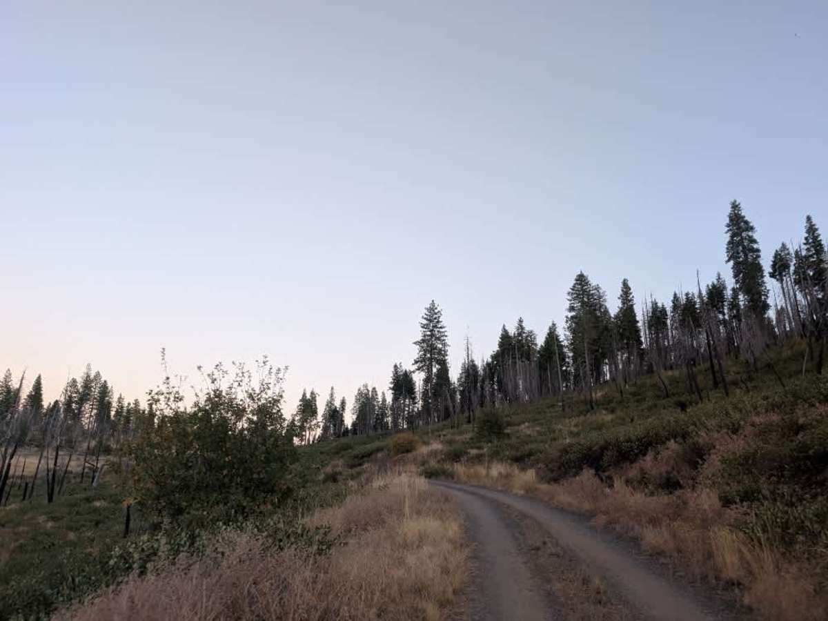
This route branches off FS 41N17 and climbs into a burned forest along a well-maintained gravel road. The surface is generally smooth, with a few undulating sections, though they are not nearly as pronounced as those on FS 41N17. The road winds through the forest, opening up to some lovely views across the valley before reaching a very large dispersed camping area. The drive itself is straightforward and should be manageable for most vehicles, with no major obstacles noted along the route. Deer are also known to frequent the area, so keep an eye out as you make your way through the forest. With its open views, quiet surroundings, and spacious camping area, this is a particularly lovely spot to explore. ATVs, UTVs, Side-by-Sides, and Dirt Bikes must always have a valid California ATV Operating Permit sticker.

Photos of Sherer Spring

Difficulty

The road remains relatively smooth throughout, with only occasional dips and gentle variations in the surface.

Technical Rating

1

Sherer Spring Trail can be accessed by the following ride types:

  • Single Track
  • 50 Inch
  • 60 Inch
  • High Clearance
  • Full Width

Sherer Spring Map

The onX Offroad Difference

onX Offroad combines trail photos, descriptions, difficulty ratings, width restrictions, seasonality, and more in a user-friendly interface. Available on all devices, with offline access and full compatibility with CarPlay and Android Auto. Discover what you're missing today!

Open Trail Map