FS 42N46C

Total Miles2
Technical Rating
1Easy
Best TimeSpring, Summer, Fall
Trail TypeFull-Width Road
Accessible By
Open Trail Map

Trail Overview

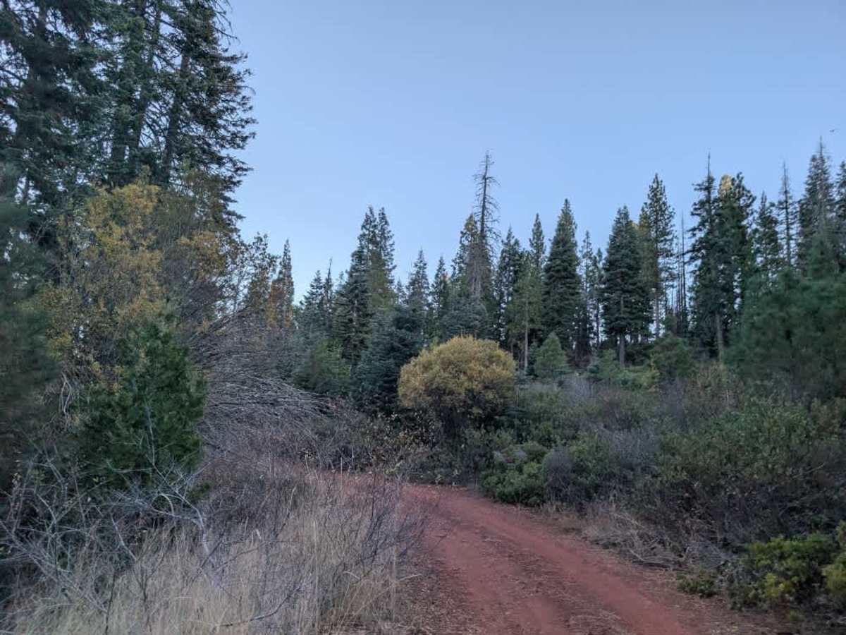
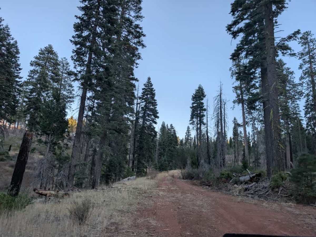
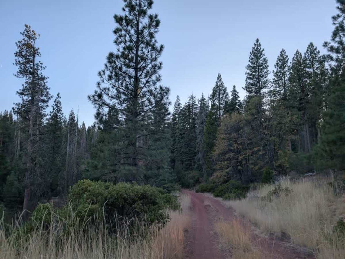
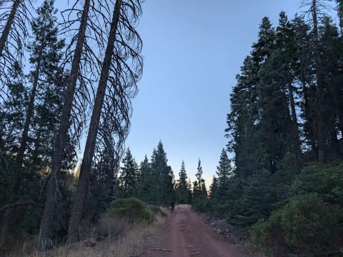
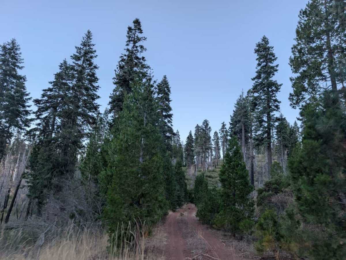
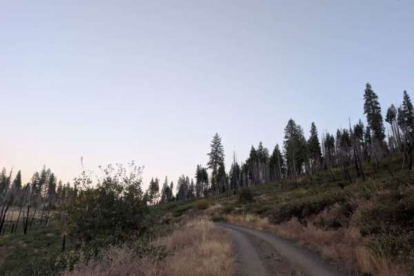
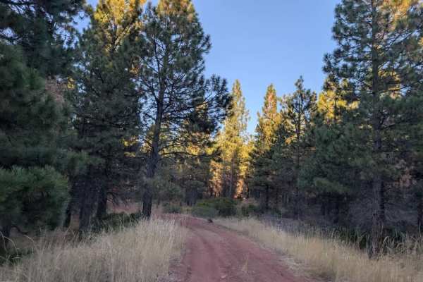
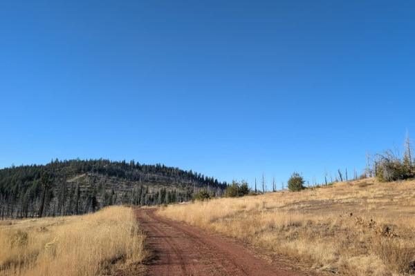
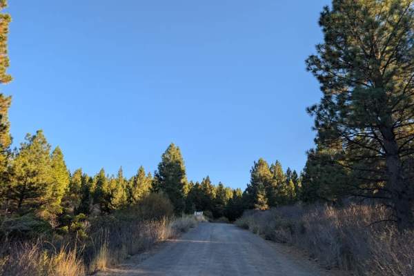
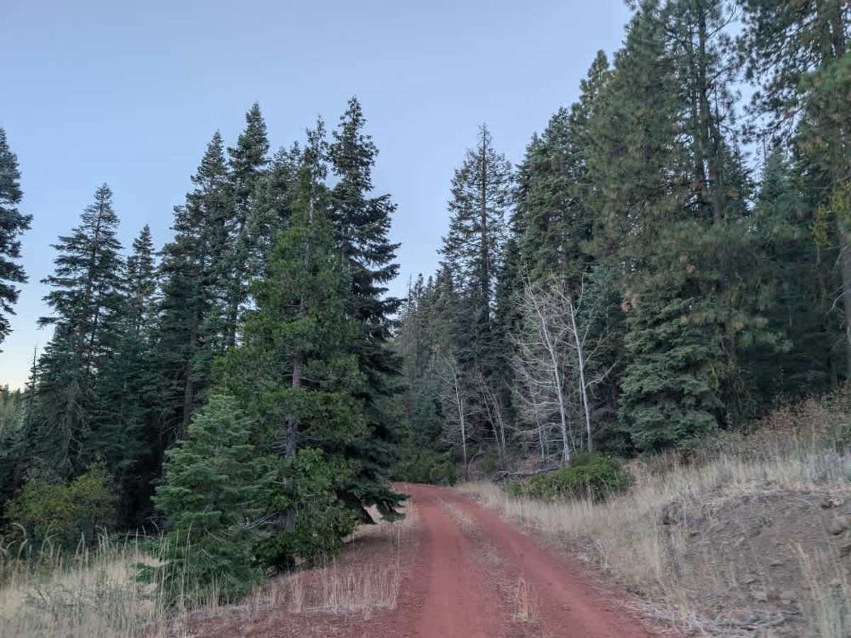
This trail branches off the main road and begins as a well-maintained gravel route before narrowing into a slender, red-dirt track. It winds through the forest with plenty of curves and turns as it gradually climbs into the mountain. Tall undergrowth grows along parts of the road, so a little extra ground clearance is helpful to avoid brushing against vegetation. The trees also grow fairly close to the track, so some light pinstriping is likely, particularly for wider vehicles, though nothing too excessive. Along the way, there is a small pull-off that may be suitable for overnight camping, but there is no fire ring, so plan to camp without a fire. One corner opens up to a beautiful view across the valley, making this a lovely little detour to enjoy the surrounding views. It’s a fun, relatively short route with some nice views along the way. ATVs, UTVs, Side-by-Sides, and Dirt Bikes must always have a valid California ATV Operating Permit sticker.

Photos of FS 42N46C

Difficulty

The route is relatively easy, though tall undergrowth and close-growing trees make clearance and vehicle width worth considering.

Technical Rating

1

FS 42N46C Trail can be accessed by the following ride types:

  • Single Track
  • 50 Inch
  • 60 Inch
  • High Clearance
  • Full Width

FS 42N46C Map

The onX Offroad Difference

onX Offroad combines trail photos, descriptions, difficulty ratings, width restrictions, seasonality, and more in a user-friendly interface. Available on all devices, with offline access and full compatibility with CarPlay and Android Auto. Discover what you're missing today!

Open Trail Map