Trail Overview
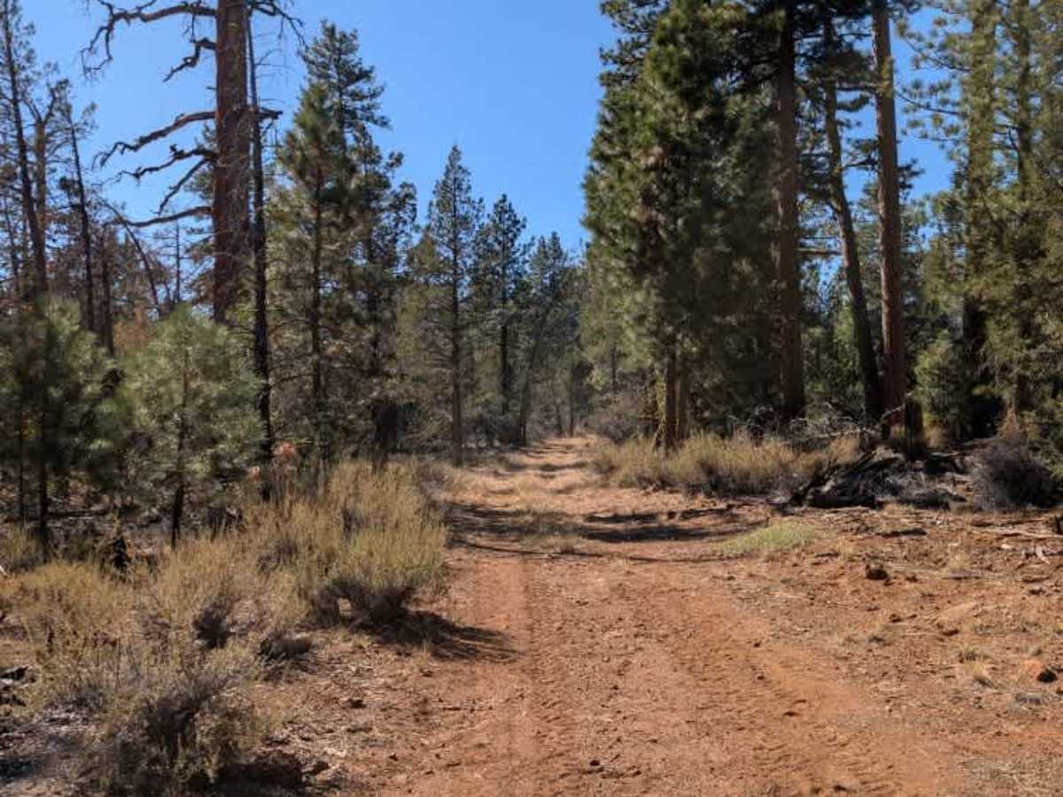
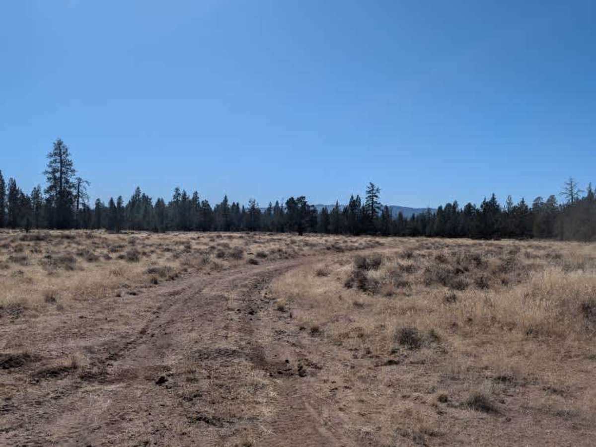
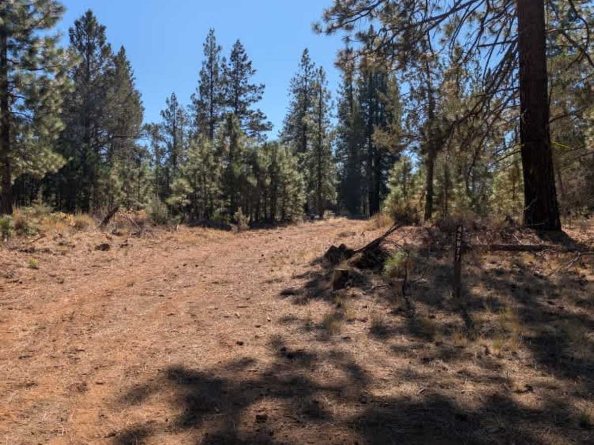
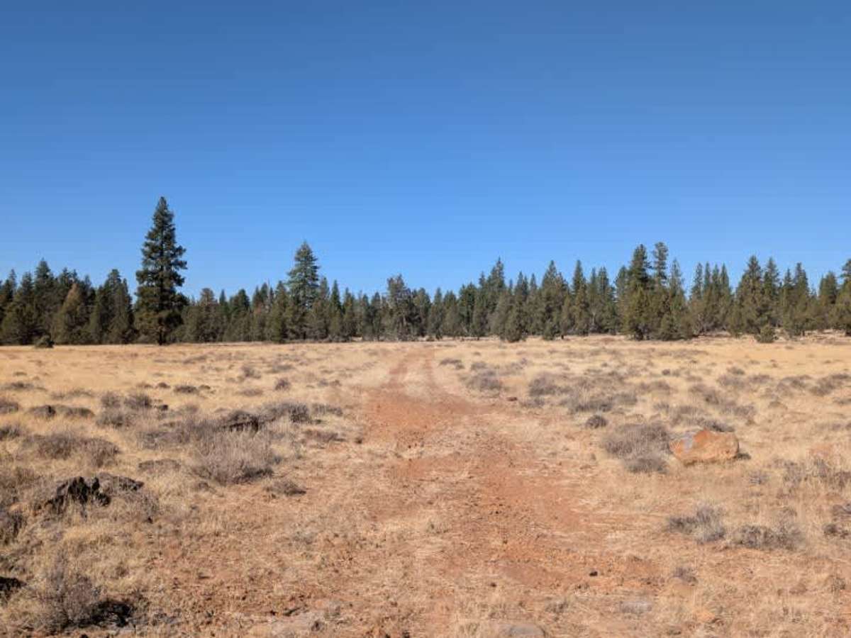
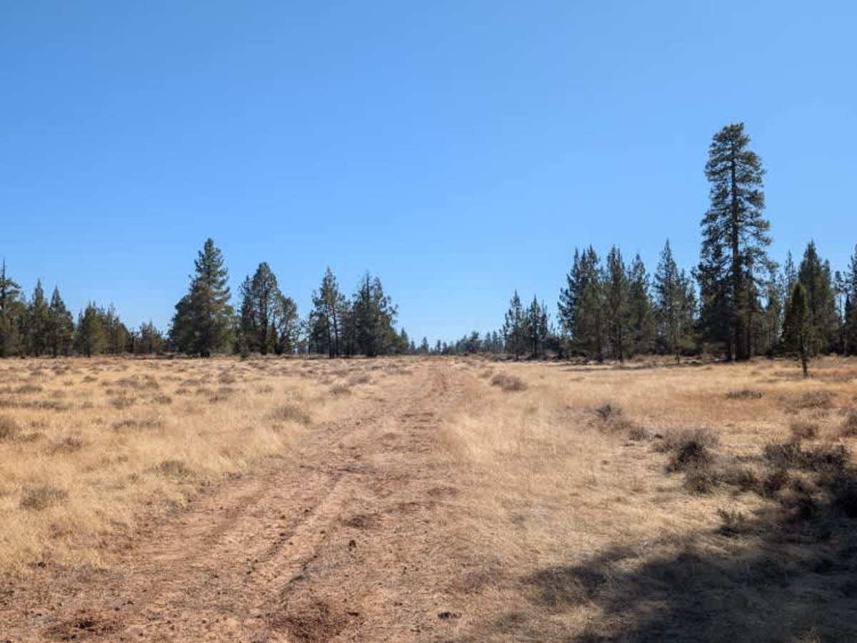
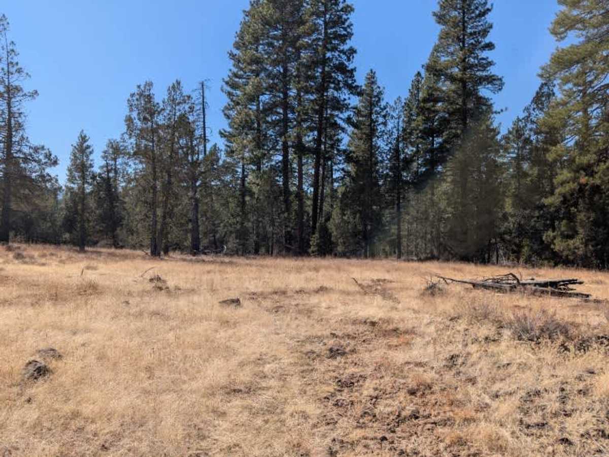
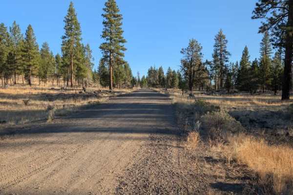
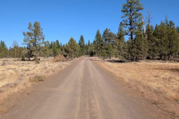
This trail branches off FS 42N60 route and winds through a mix of forest and open fields. The surrounding terrain is fairly dry and rocky, with some uneven, off-camber sections and a few minor rock ledges along the way. A simple chicken-wire gate must be passed through, so be sure to open the fence carefully, drive through, and close it behind you. The route becomes increasingly rough and deteriorated toward the end, requiring slower progress over the uneven surface. It eventually opens into a clearing where dispersed camping may be possible, although the area isn’t particularly inviting for an overnight stay. While the route offers an interesting connection through the surrounding forest and fields, expect rougher conditions as you approach the endpoint, and use caution on the rocky sections.ATVs, UTVs, Side-by-Sides, and Dirt Bikes must always have a valid California ATV Operating Permit sticker.
Difficulty
The route has a rocky, uneven surface with occasional off-camber sections and minor rock ledges, becoming rougher toward the end.