Beeler Reservoir - FS 42N11

Total Miles2.5
Technical Rating
1Easy
Best TimeSpring, Summer, Fall
Trail TypeFull-Width Road
Accessible By
Open Trail Map

Trail Overview

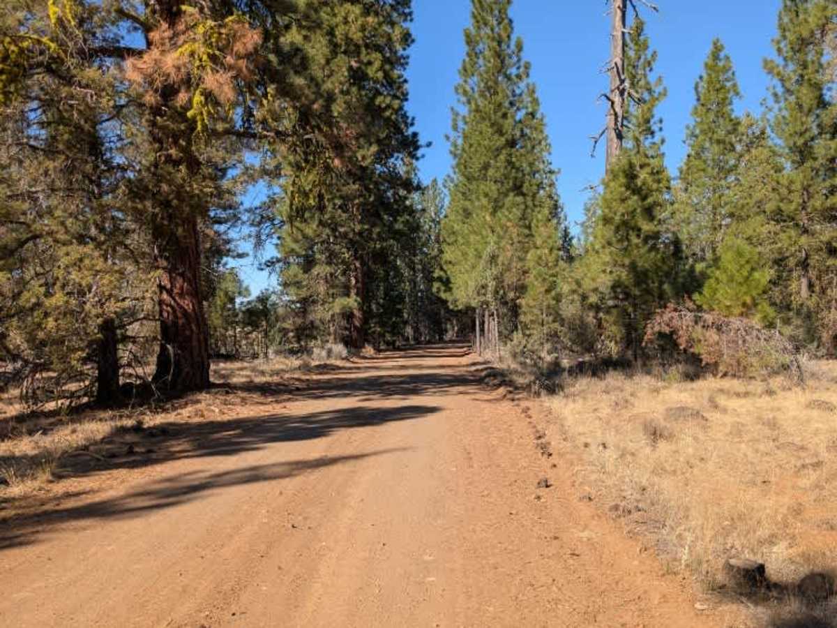
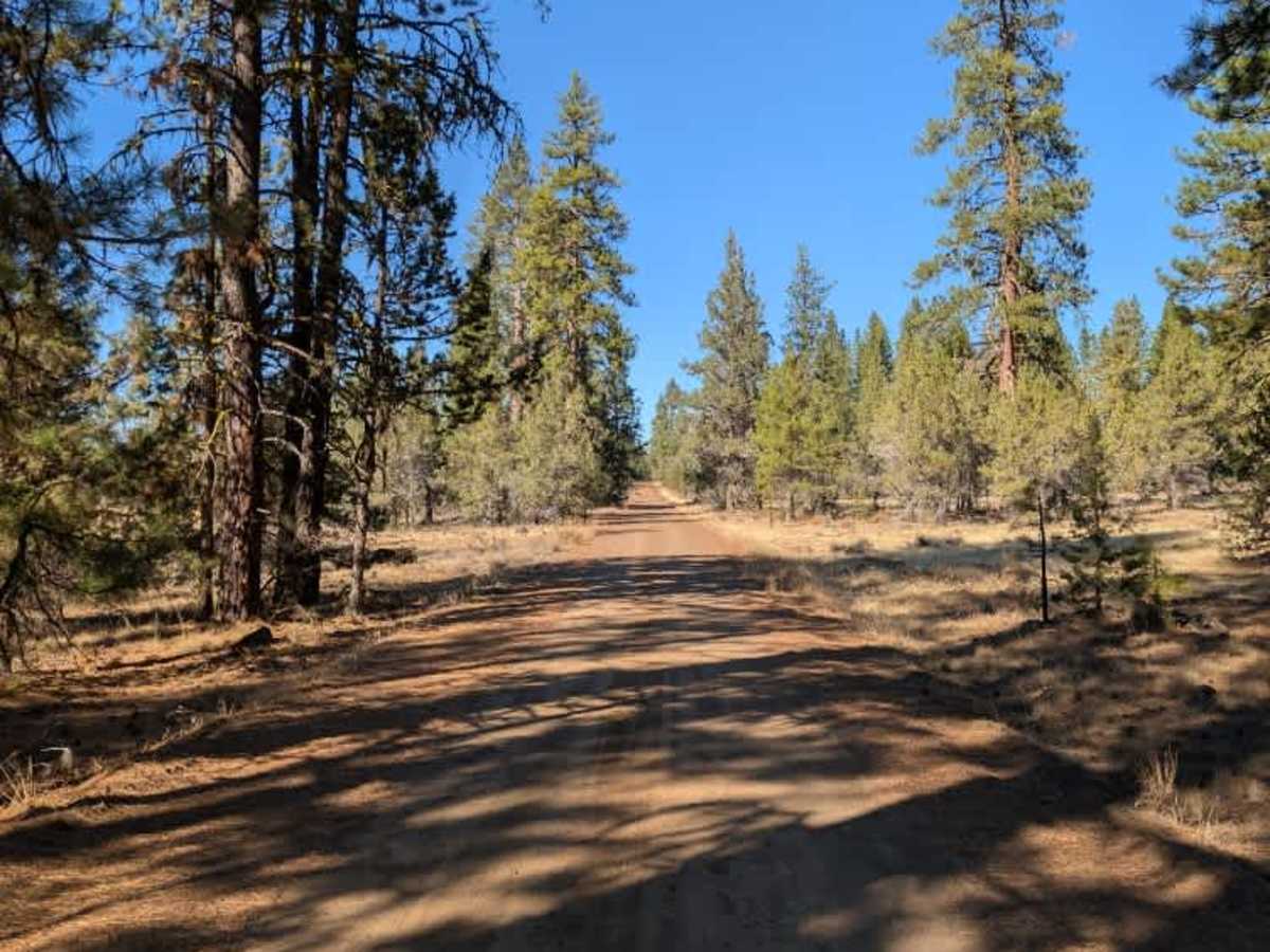
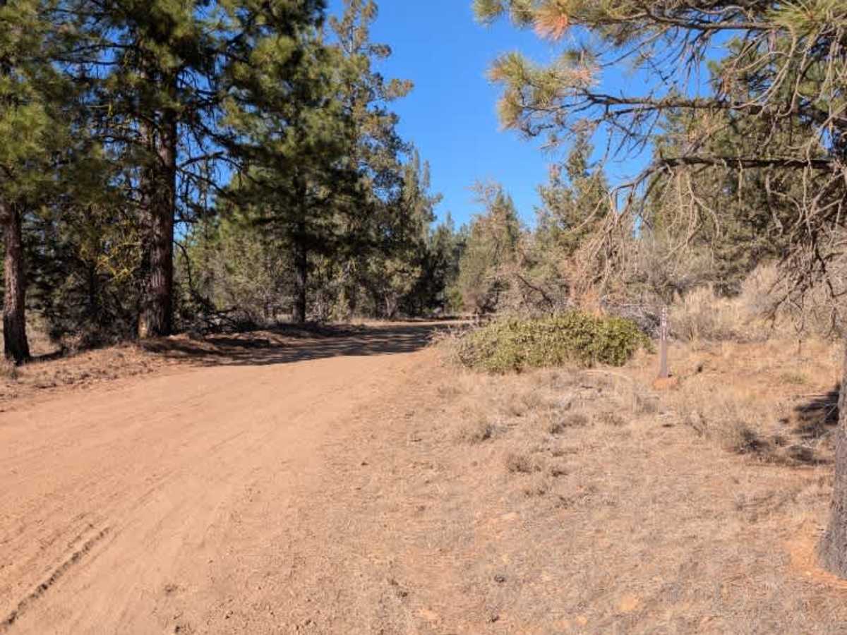
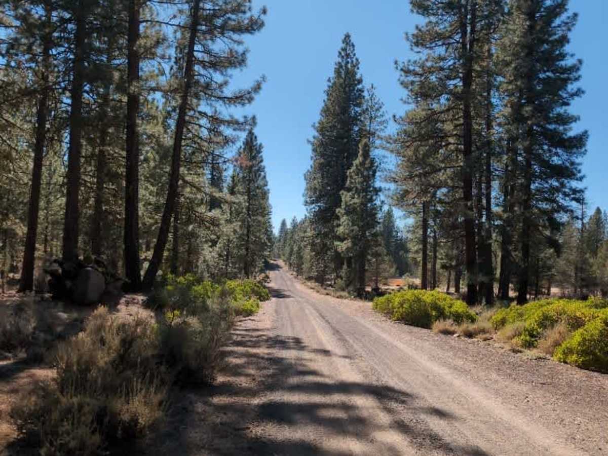
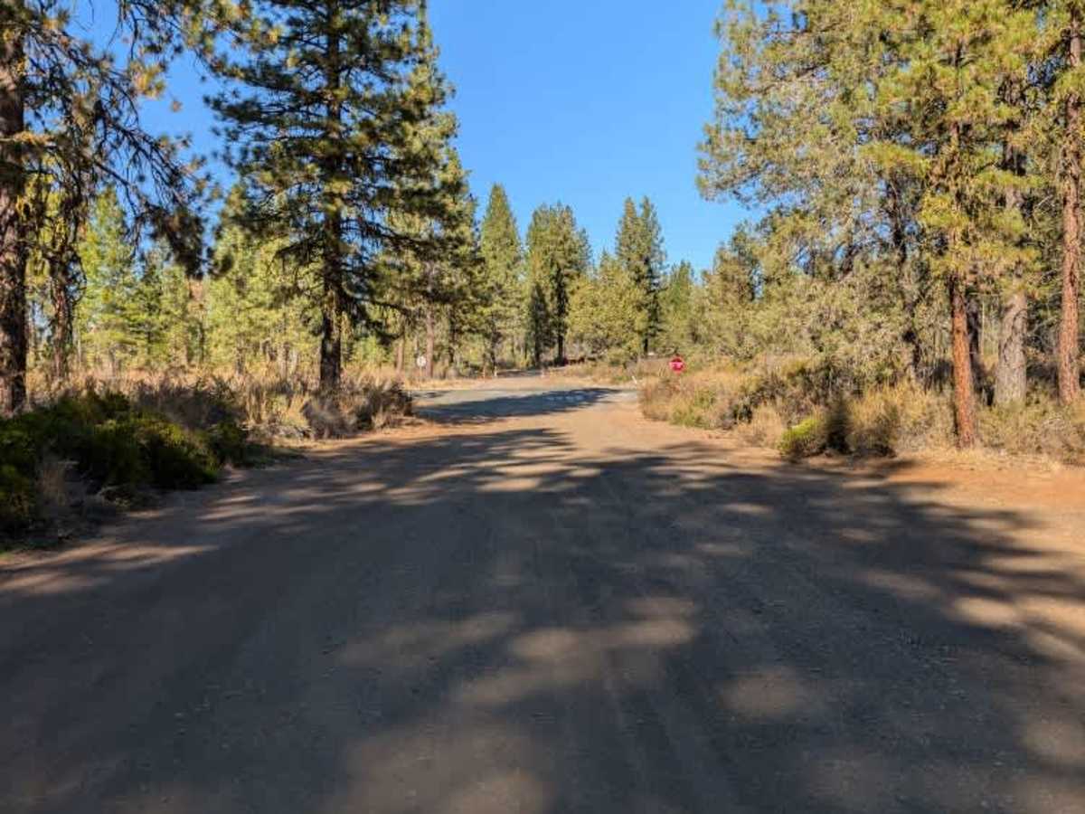
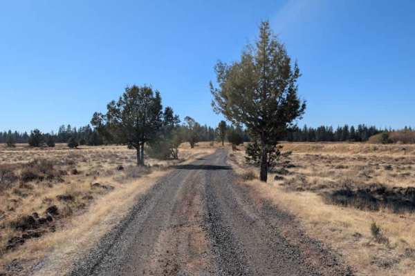
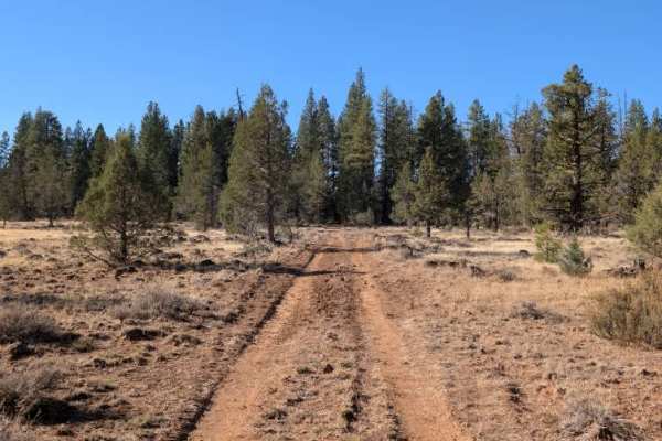
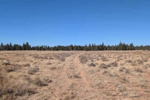
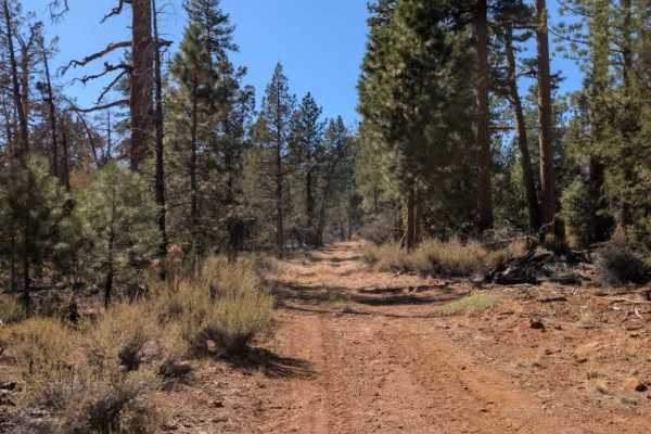
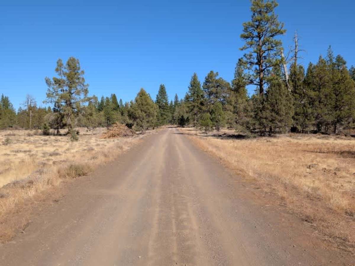
This arterial route connects the main paved road with Loveness (FS 42N60) and makes for a pleasant, easy drive through the area. The road is about one and a half lanes wide, with a smooth sandy gravel surface and no significant obstacles. There are a few wider areas along the way where you can pull over, including a large staging and parking area near the entrance, just before the cattle guard. Farther along, a smaller trail appears to branch off into the woods, although its condition and whether it provides access to any camping areas are unknown. The main road itself is in very good condition and offers a straightforward connection to the surrounding trail network. ATVs, UTVs, Side-by-Sides, and Dirt Bikes must always have a valid California ATV Operating Permit sticker.

Photos of Beeler Reservoir - FS 42N11

Difficulty

The route is relatively wide and well maintained, with only minor variations in the sandy gravel surface.

Technical Rating

1

Beeler Reservoir - FS 42N11 Trail can be accessed by the following ride types:

  • Single Track
  • 50 Inch
  • 60 Inch
  • High Clearance
  • Full Width

Beeler Reservoir - FS 42N11 Map

The onX Offroad Difference

onX Offroad combines trail photos, descriptions, difficulty ratings, width restrictions, seasonality, and more in a user-friendly interface. Available on all devices, with offline access and full compatibility with CarPlay and Android Auto. Discover what you're missing today!

Open Trail Map