Loveness Road Spur - FS 42N60N

Total Miles2.7
Technical Rating
2Easy
Best TimeSummer, Spring, Fall
Trail TypeFull-Width Road
Accessible By
Open Trail Map

Trail Overview

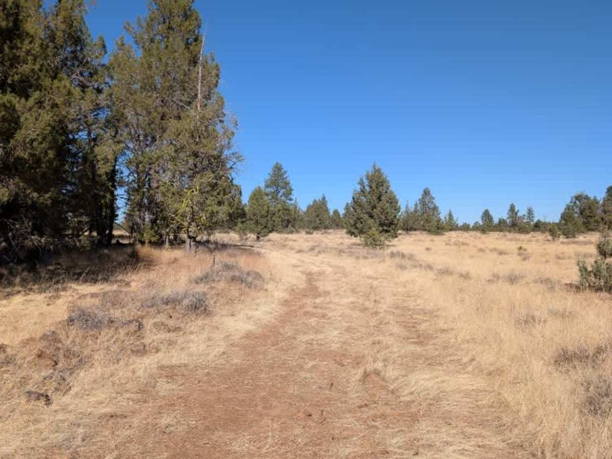
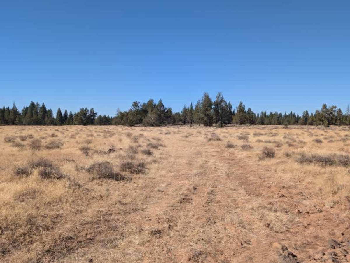
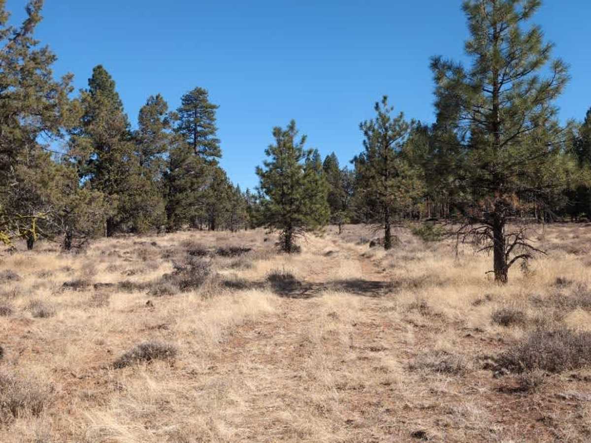
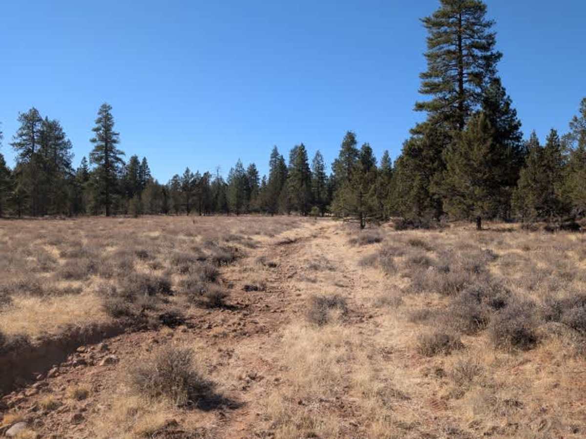
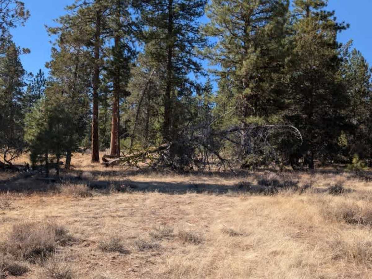
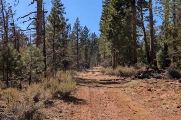
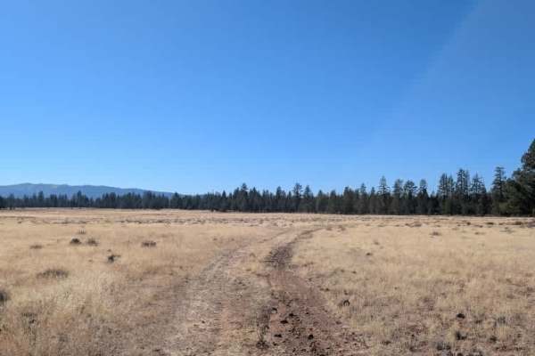
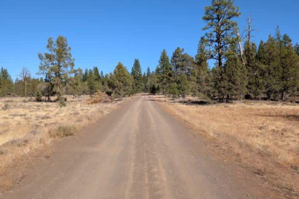
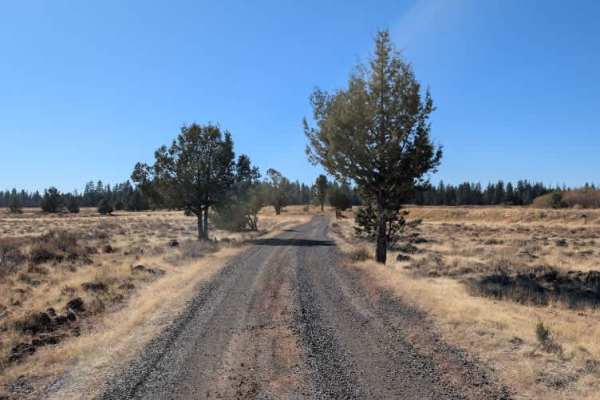
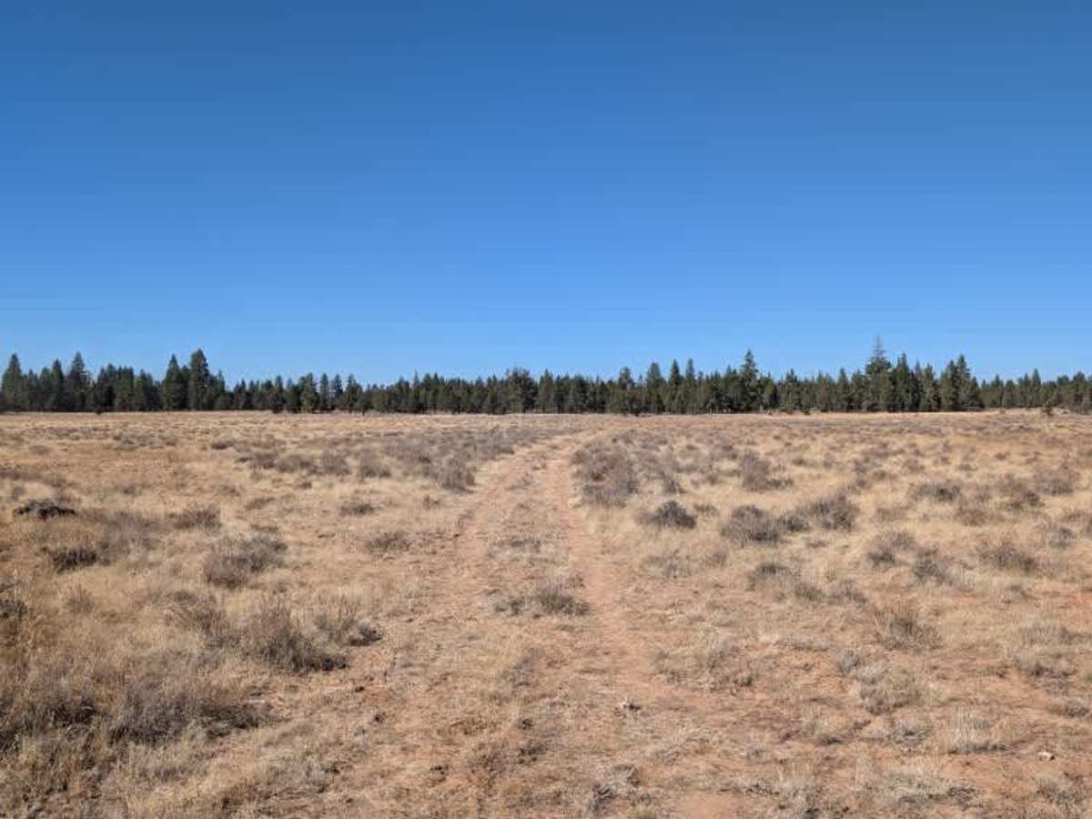
This short route forms a partial loop through open fields before eventually reaching an overgrown section of forest. It follows a rough semicircular path, with what appears to be a connecting track between the two ends, although the route becomes increasingly difficult to follow as vegetation closes in. Parts of the road show signs of heavy water erosion, with sections that channel runoff like a small stream. This has left the surface quite inconsistent, with uneven edges, small rocks, loose stones, and washed-out sections that require careful driving. The route can feel a little awkward in places as you move between higher and lower sections of the track. Take it slow and watch your line, particularly through the eroded areas. A 4x4 vehicle is recommended for this route. ATVs, UTVs, Side-by-Sides, and Dirt Bikes must always have a valid California ATV Operating Permit sticker.

Photos of Loveness Road Spur - FS 42N60N

Difficulty

The main challenges are eroded sections, loose stones, and uneven terrain, particularly where runoff has worn channels into the road.

Technical Rating

2

Loveness Road Spur - FS 42N60N Trail can be accessed by the following ride types:

  • Single Track
  • 50 Inch
  • 60 Inch
  • High Clearance
  • Full Width

Loveness Road Spur - FS 42N60N Map

The onX Offroad Difference

onX Offroad combines trail photos, descriptions, difficulty ratings, width restrictions, seasonality, and more in a user-friendly interface. Available on all devices, with offline access and full compatibility with CarPlay and Android Auto. Discover what you're missing today!

Open Trail Map