Trail Overview
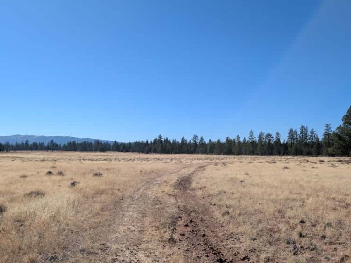
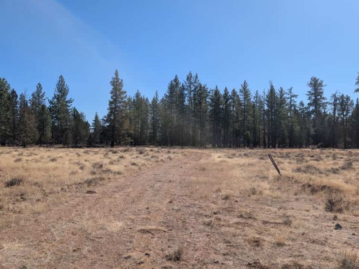
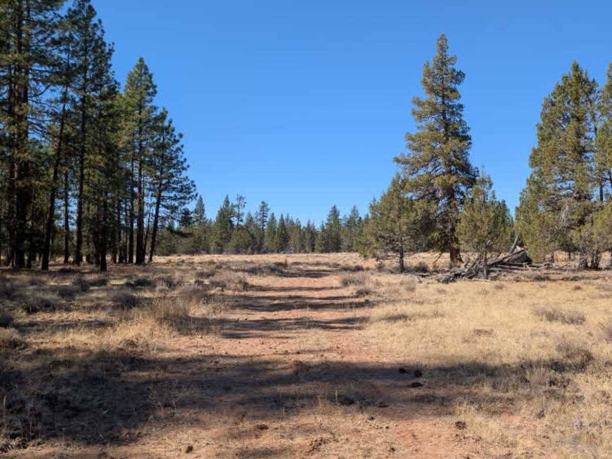
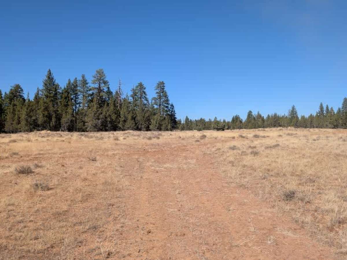
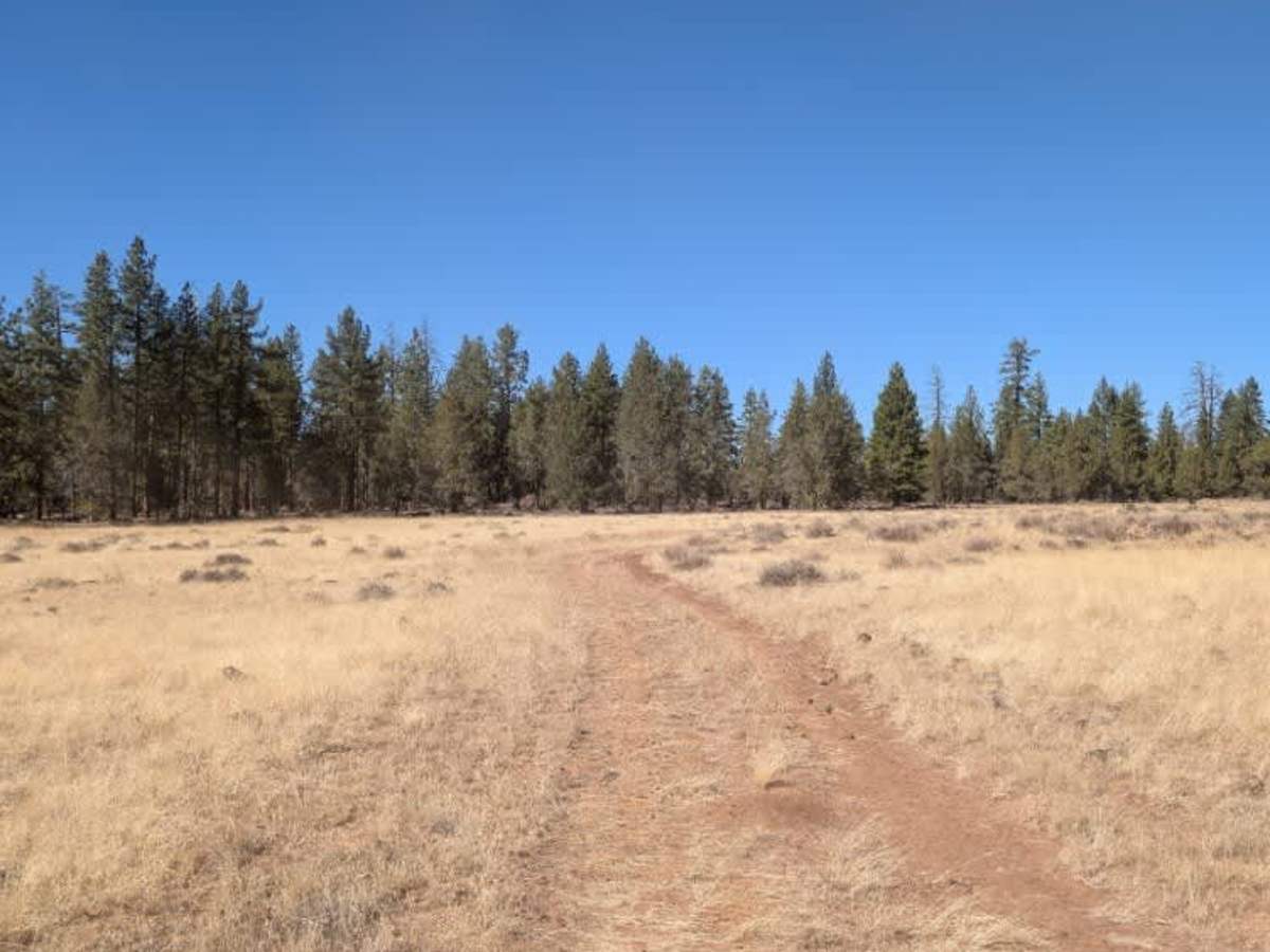
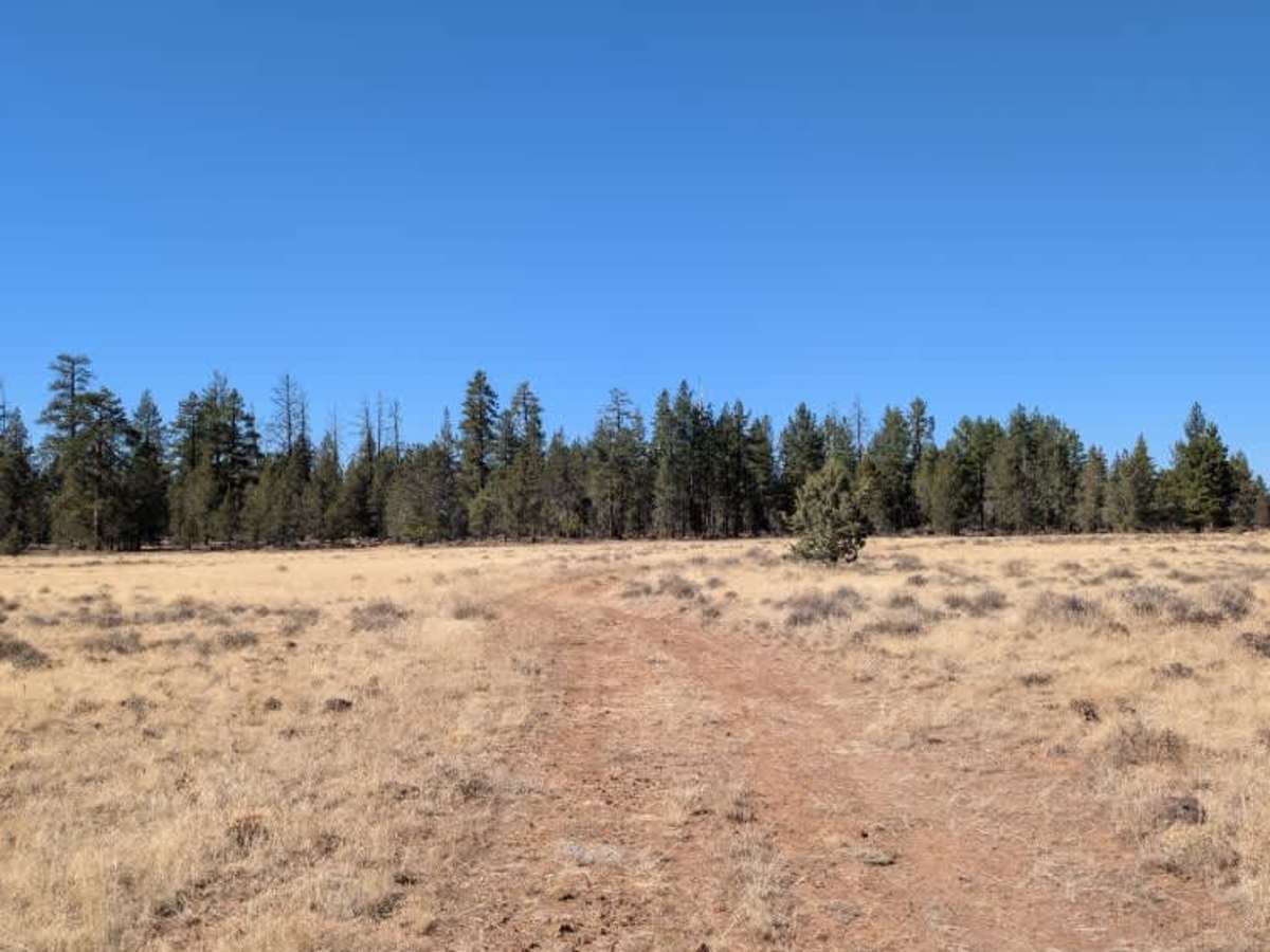
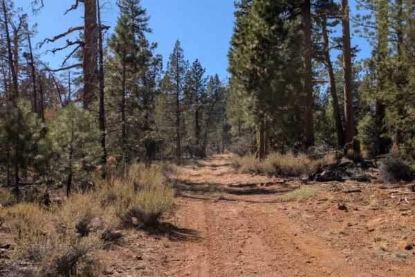
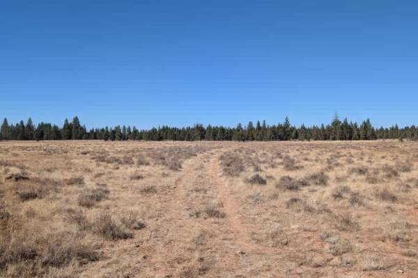
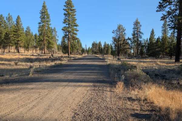
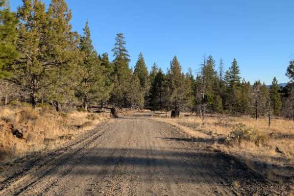
This spur trail branches off the FS 42N77 main route, an in-and-out road that connects back to the main FS 42N60. It winds through an area of dry vegetation and scattered rocky terrain before reaching a former logging area at the end. The clearing is relatively flat and open, making it a suitable spot for dispersed camping. Around the 0.6-mile mark, the trail changes noticeably as vegetation thickens and the route becomes more overgrown. There is also some fallen grass and several downed trees along this section, suggesting that this part of the road receives considerably less traffic. Despite the overgrowth, the route continues to the open clearing at the end, where there is room to pull off and camp. ATVs, UTVs, Side-by-Sides, and Dirt Bikes must always have a valid California ATV Operating Permit sticker.