Washington Mountain Connector - FS 42N81

Total Miles2
Technical Rating
1Easy
Best TimeSpring, Summer, Fall
Trail TypeFull-Width Road
Accessible By
Open Trail Map

Trail Overview

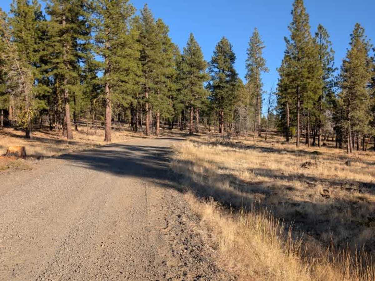
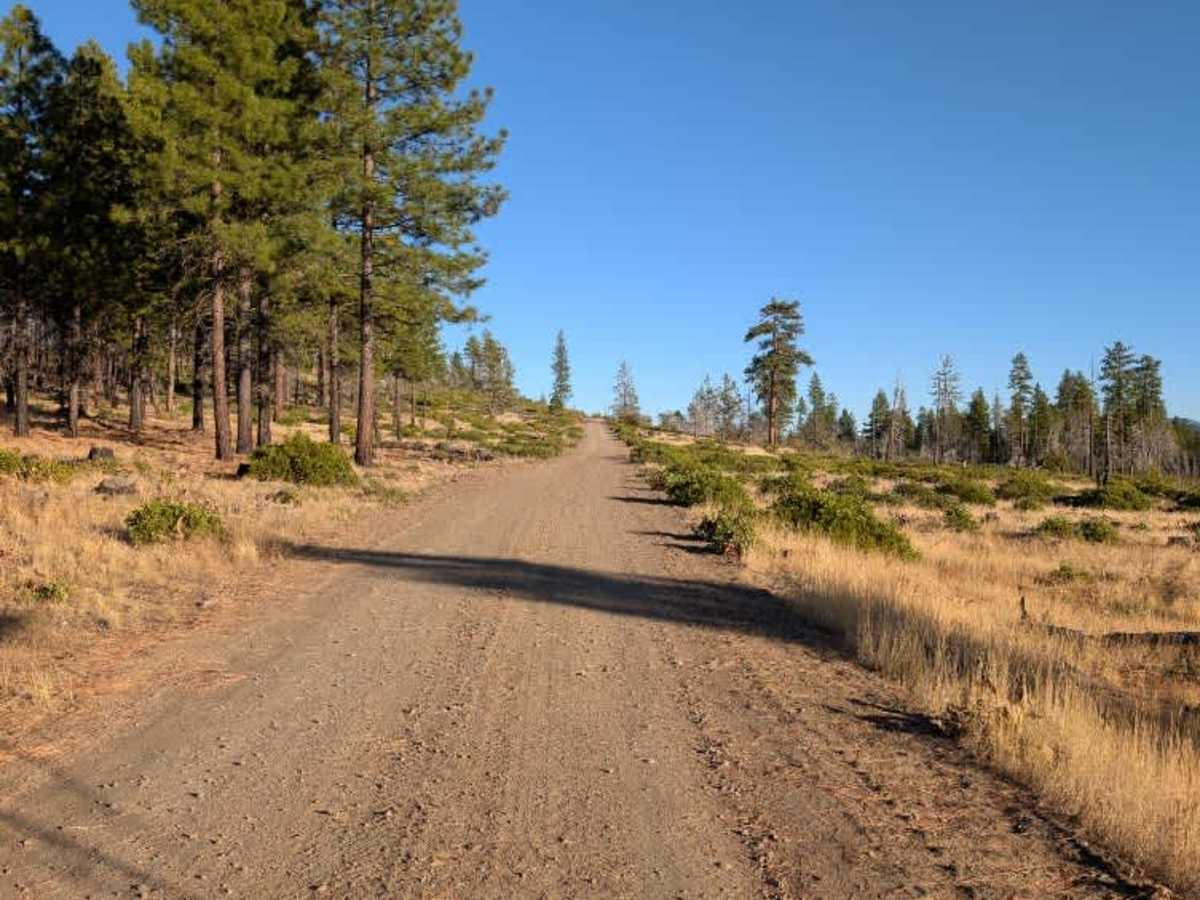
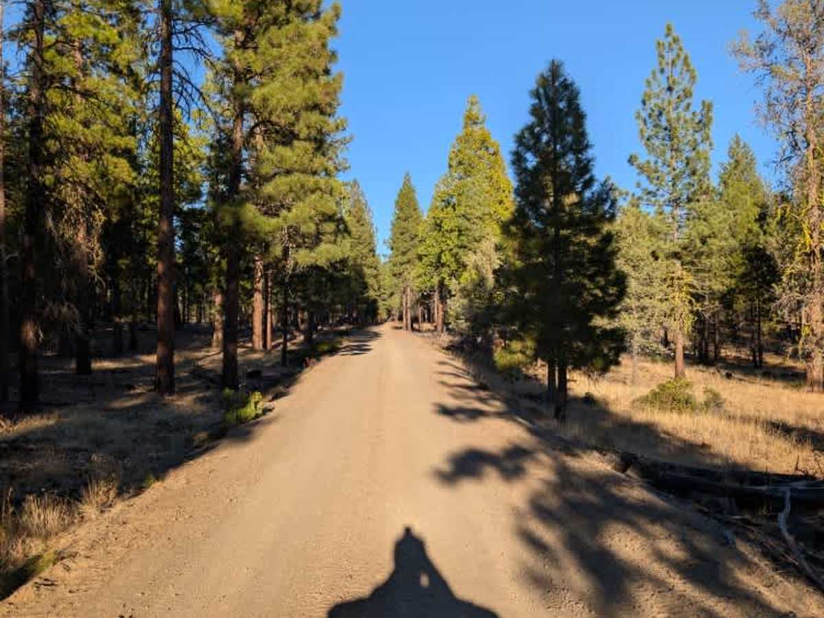
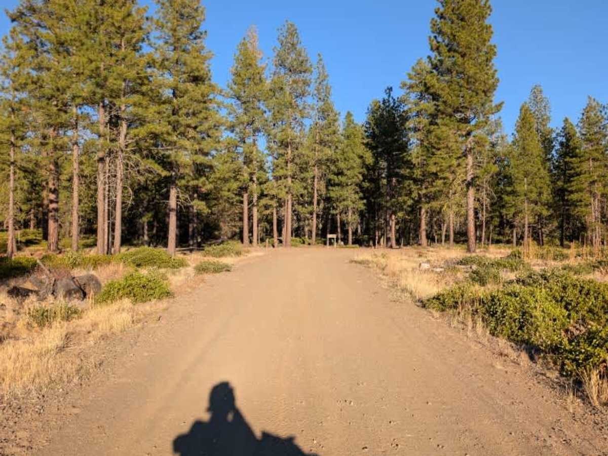
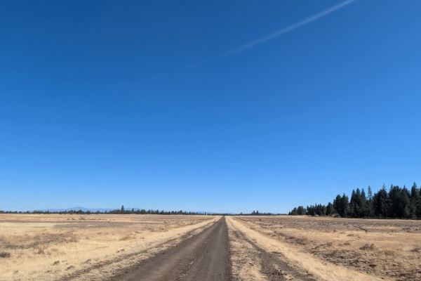
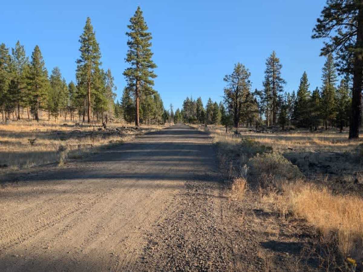
This connecting trail runs between Washington Creek (FS 42N21) and Washington Mountain (FS 42N07), following a gentle ridge along the hillside with some lovely views of the surrounding landscape. The route passes through a mix of open terrain and vegetation, with elevated sections offering a different perspective as you make your way between the two roads. A couple of smaller trails branch off the main route, although there aren’t many additional connections along this stretch. The road itself provides a useful link between the two routes and is a nice option if you're exploring the surrounding trail network. ATVs, UTVs, Side-by-Sides, and Dirt Bikes must always have a valid California ATV Operating Permit sticker.

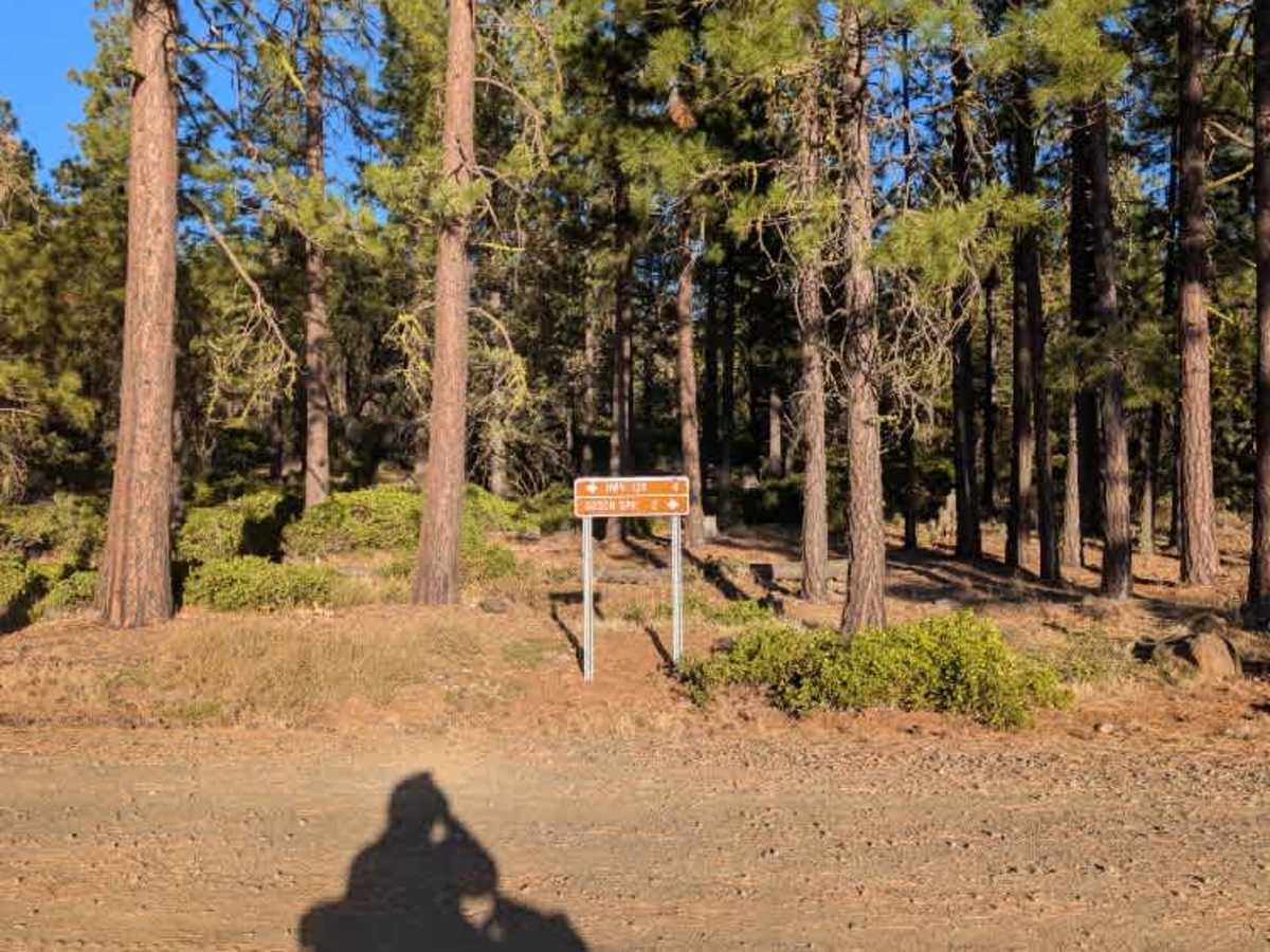
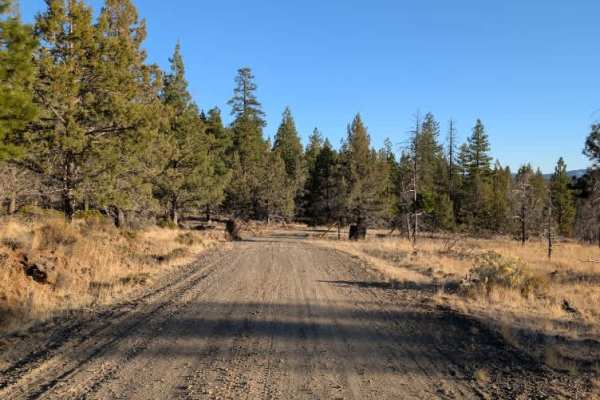
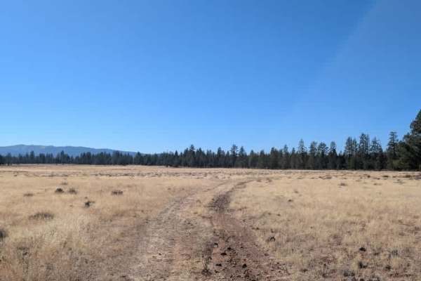
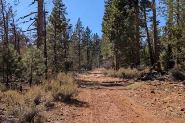
Photos of Washington Mountain Connector - FS 42N81

Difficulty

The route is relatively easy to navigate, following a gentle ridge with only minor changes in elevation.

Technical Rating

1

Washington Mountain Connector - FS 42N81 Trail can be accessed by the following ride types:

  • Single Track
  • 50 Inch
  • 60 Inch
  • High Clearance
  • Full Width

Washington Mountain Connector - FS 42N81 Map

The onX Offroad Difference

onX Offroad combines trail photos, descriptions, difficulty ratings, width restrictions, seasonality, and more in a user-friendly interface. Available on all devices, with offline access and full compatibility with CarPlay and Android Auto. Discover what you're missing today!

Open Trail Map