Trail Overview
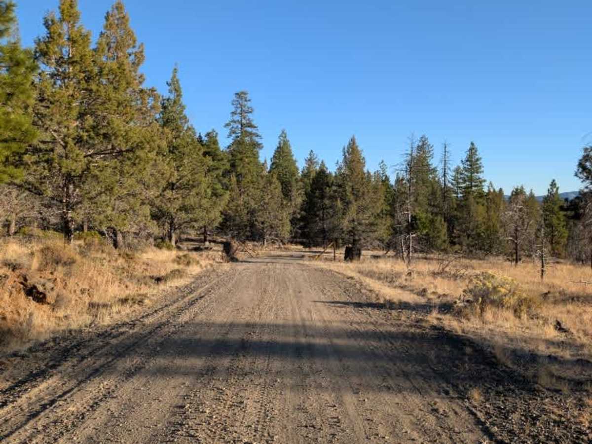
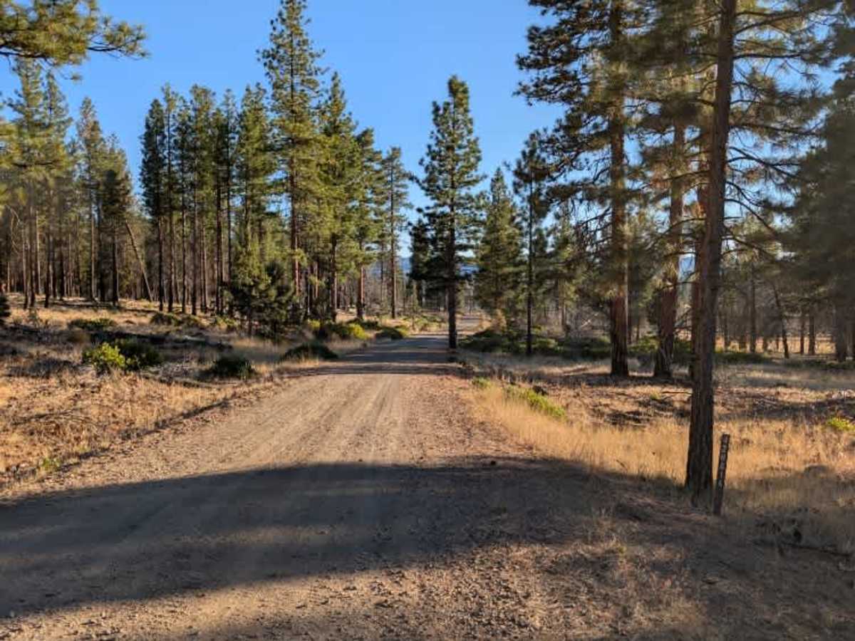
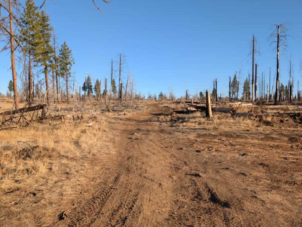
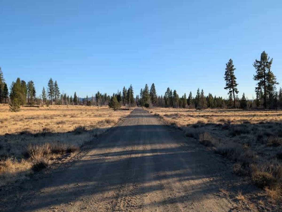
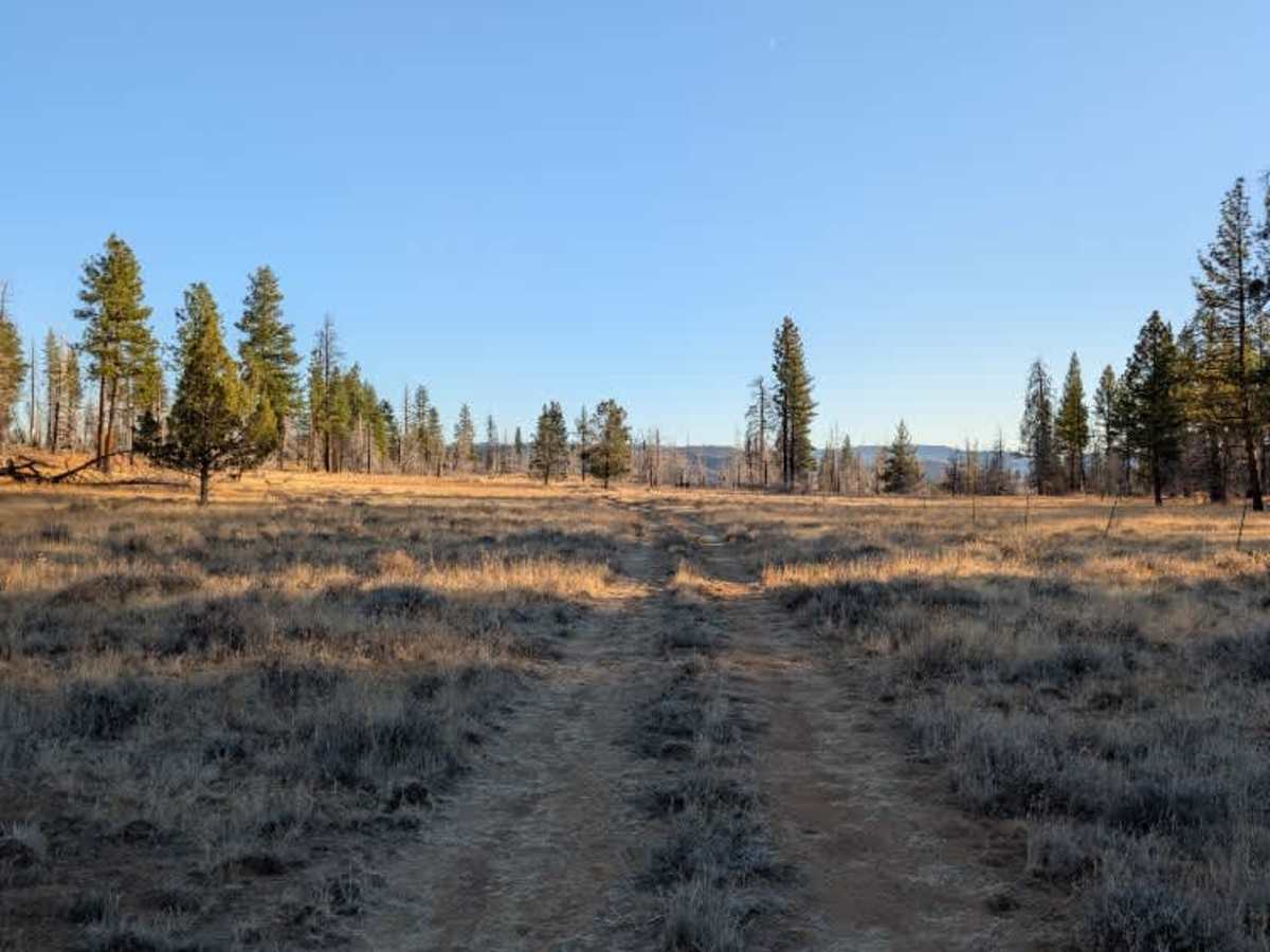
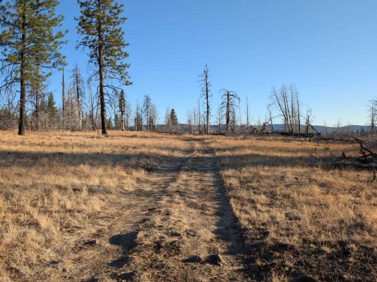
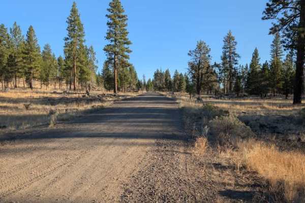
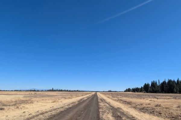
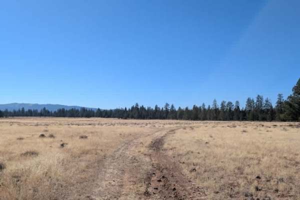
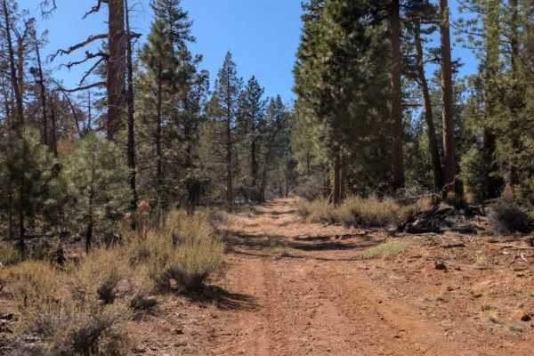
This somewhat long trail begins on a well-maintained gravel road that winds along the edge of a hillside. The drive is relatively smooth at first, with the road gradually following the terrain before reaching an area that appears to have been affected by a fire. Beyond this point, the surface becomes rougher and less maintained, with a few ditches, scattered rocks, and uneven sections that make for a bumpier ride. However, there are no major obstacles along the trail, and the route remains manageable at a slower pace. There appear to be two possible dispersed camping spots along the way, one near where the road begins to deteriorate and another near the end of the trail. Neither location was fully verified, so availability and suitability may vary. ATVs, UTVs, Side-by-Sides, and Dirt Bikes must always have a valid California ATV Operating Permit sticker.
Difficulty
The trail starts on a smooth gravel road before becoming rougher, with scattered rocks, ditches, and uneven sections farther along.