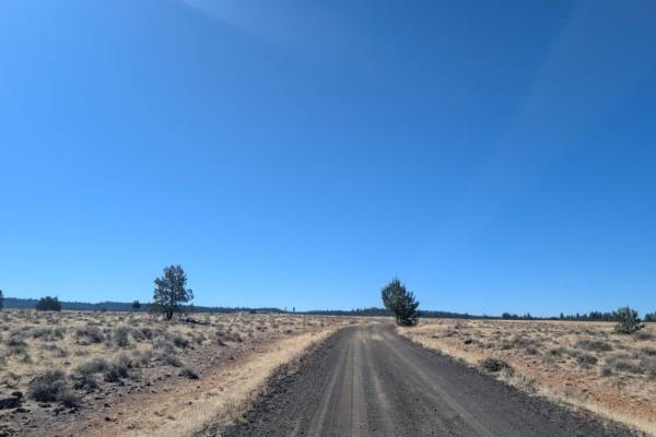
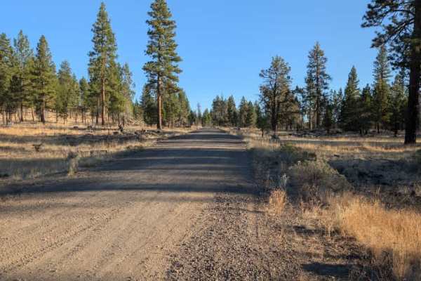
Trail Overview
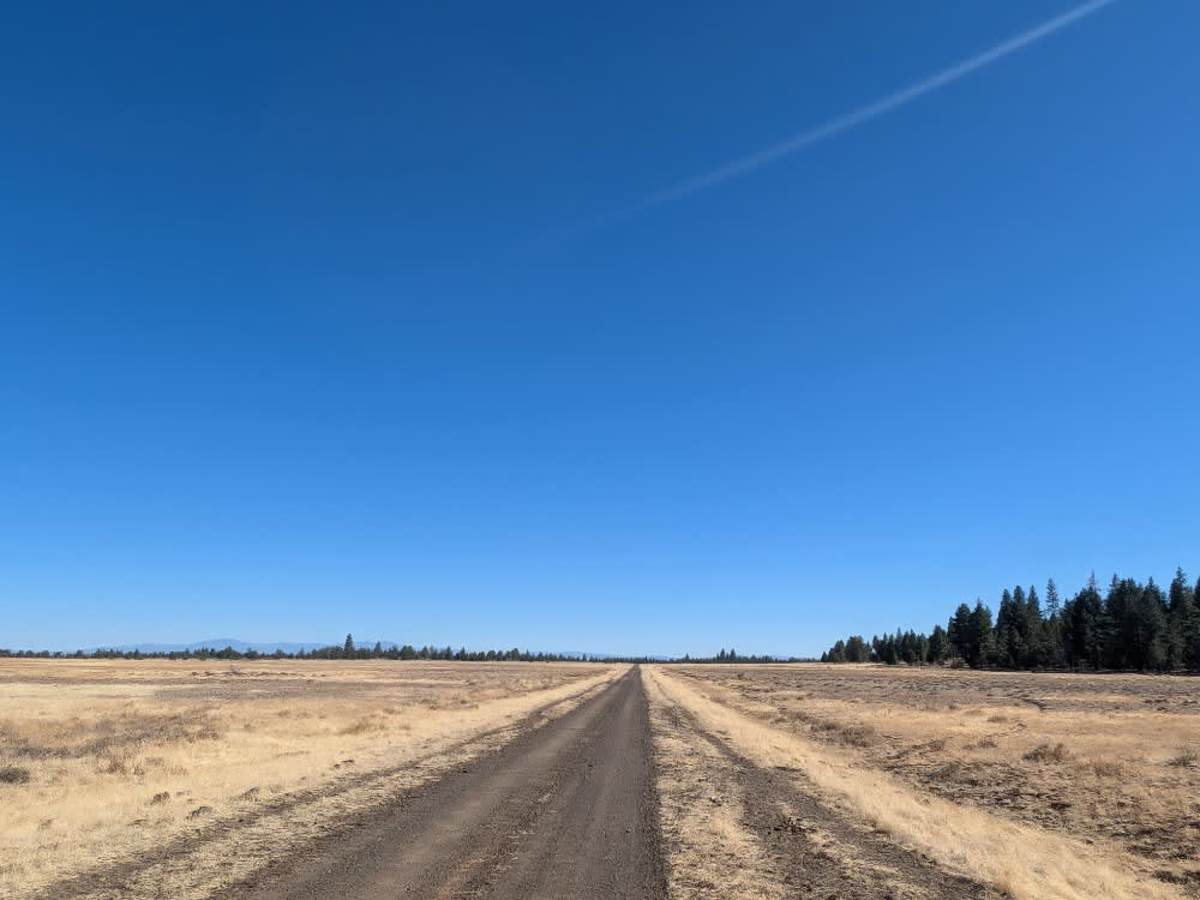
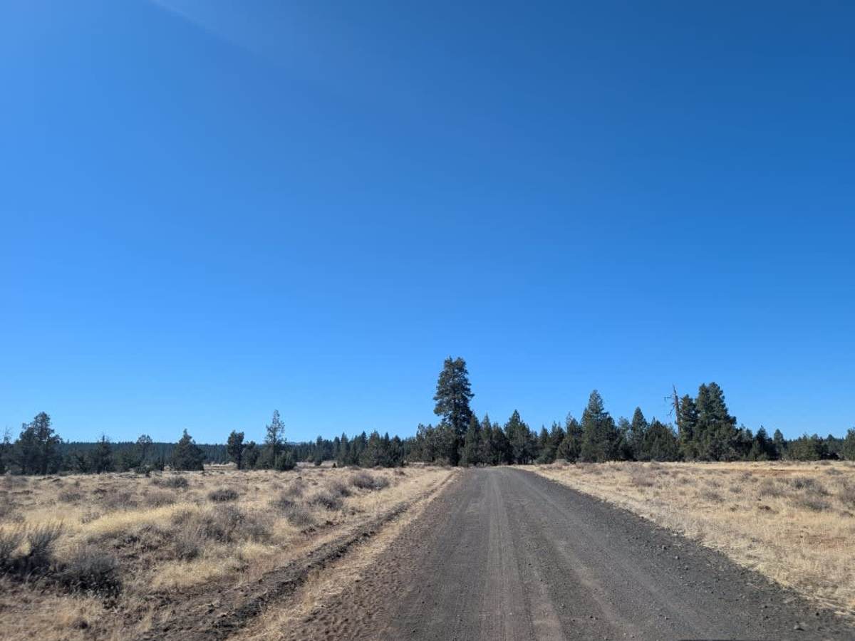
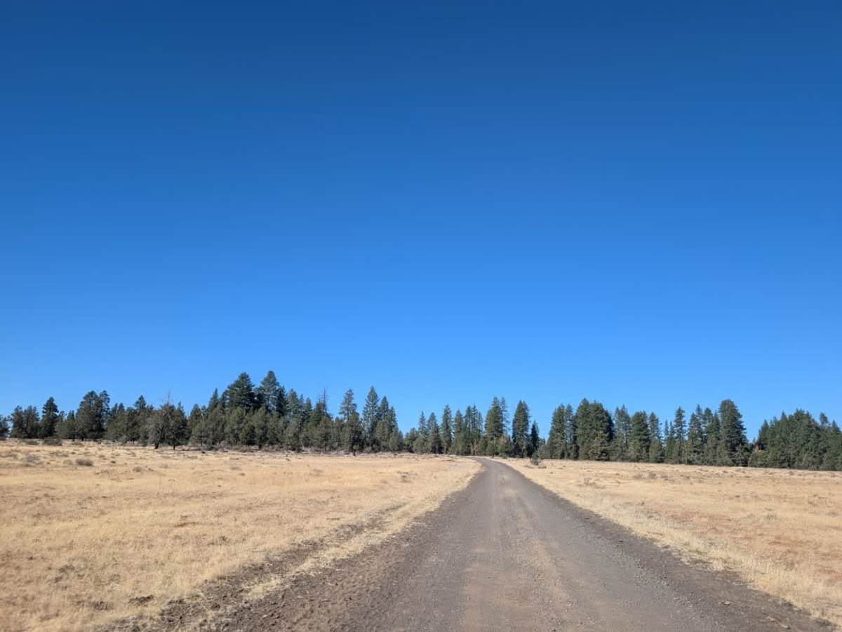
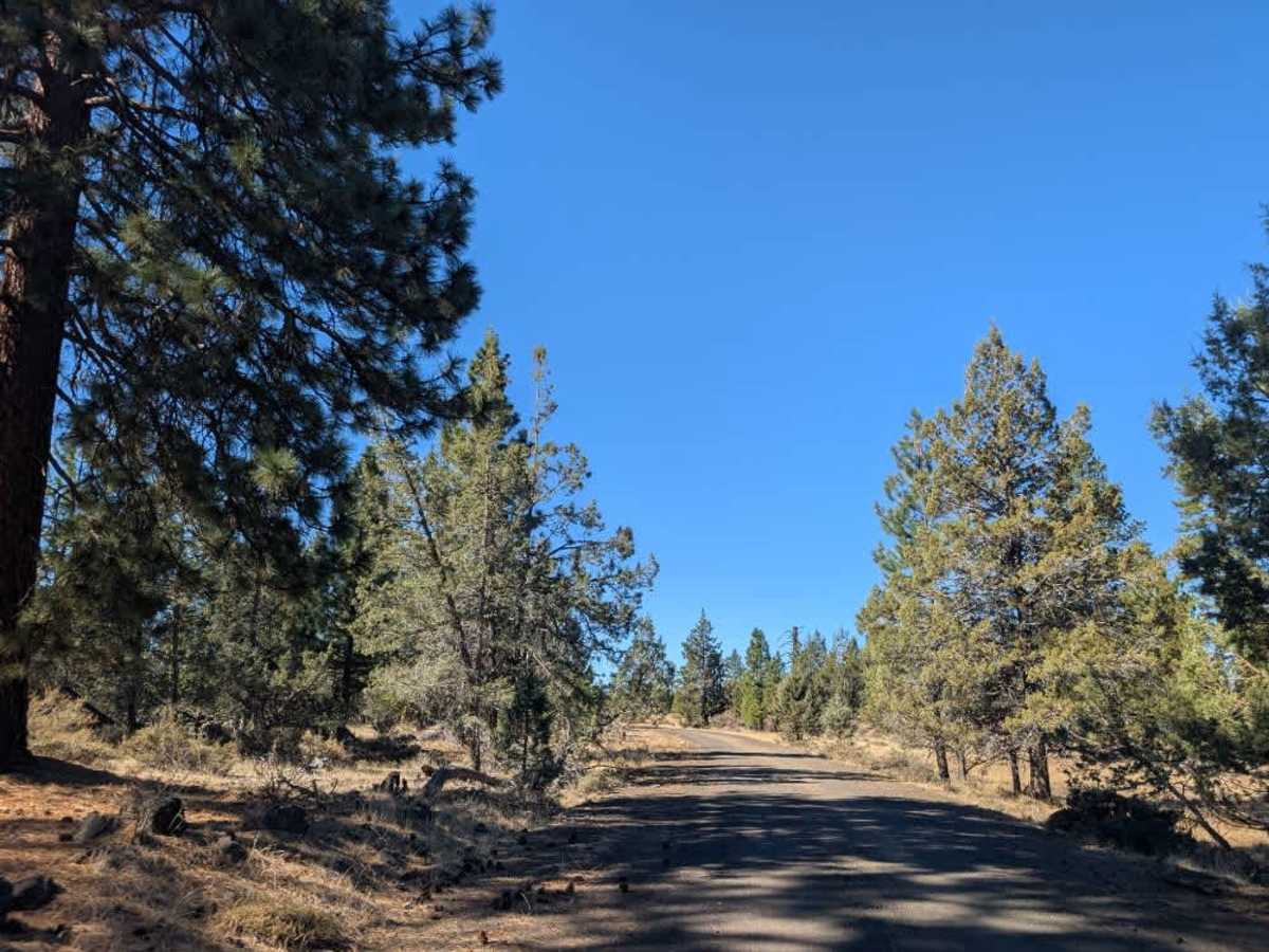
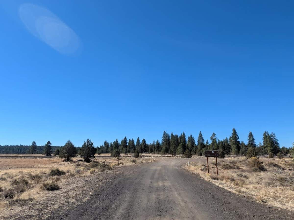
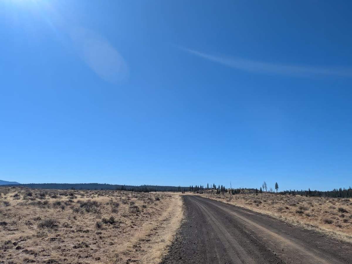
This well-maintained road runs from Duncan Reservoir alongside the Duncan Pond wetlands, with several smaller trails branching off along the way. Some of these routes are no longer accessible, and many are closed or restricted due to private property and agricultural land in the area. As of October, the wetlands were dry, although water levels may rise again around November or December. The main road remains in good condition as it descends a long hill, with only some rocky sections along the way. Near the bottom, it reaches a railway line and a fenced boundary clearly marked with private property and trespassing warnings. A locked gate also blocks one of the side trails before the descent. The power line trail remains accessible, but much of its surface has washed away, making it suitable only for ATVs and Side-by-Sides. Use caution around gates and posted property boundaries, and do not enter closed or private routes. ATVs, UTVs, Side-by-Sides, and Dirt Bikes must always have a valid California ATV Operating Permit sticker.