Trail Overview
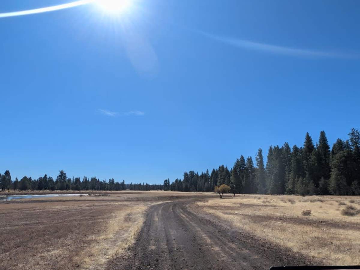
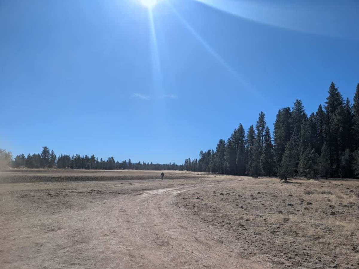
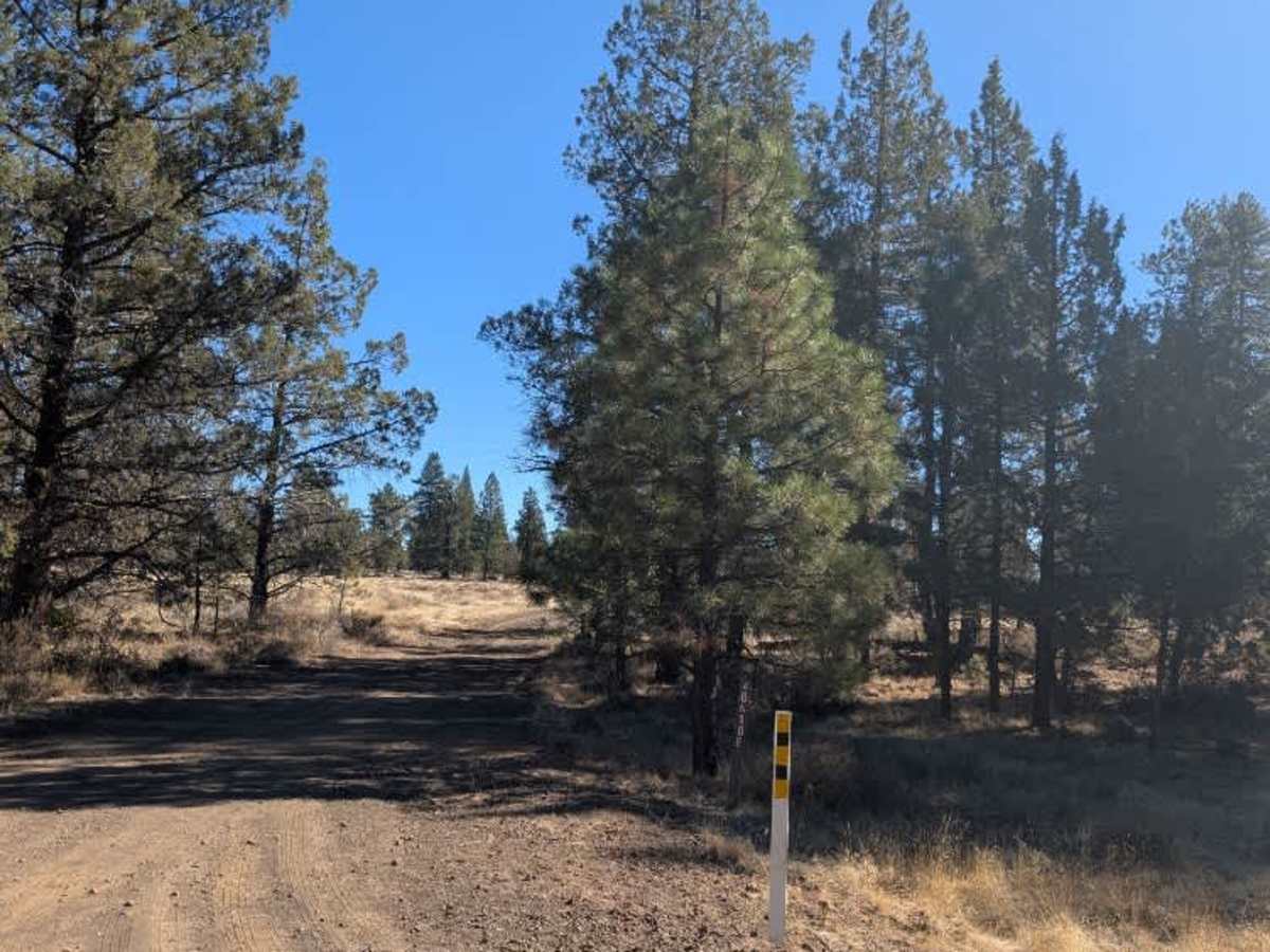
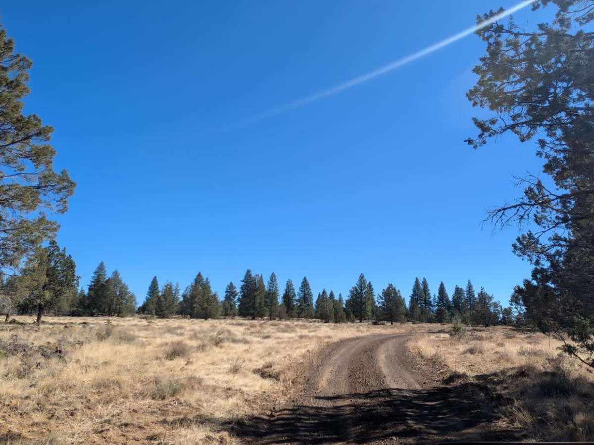
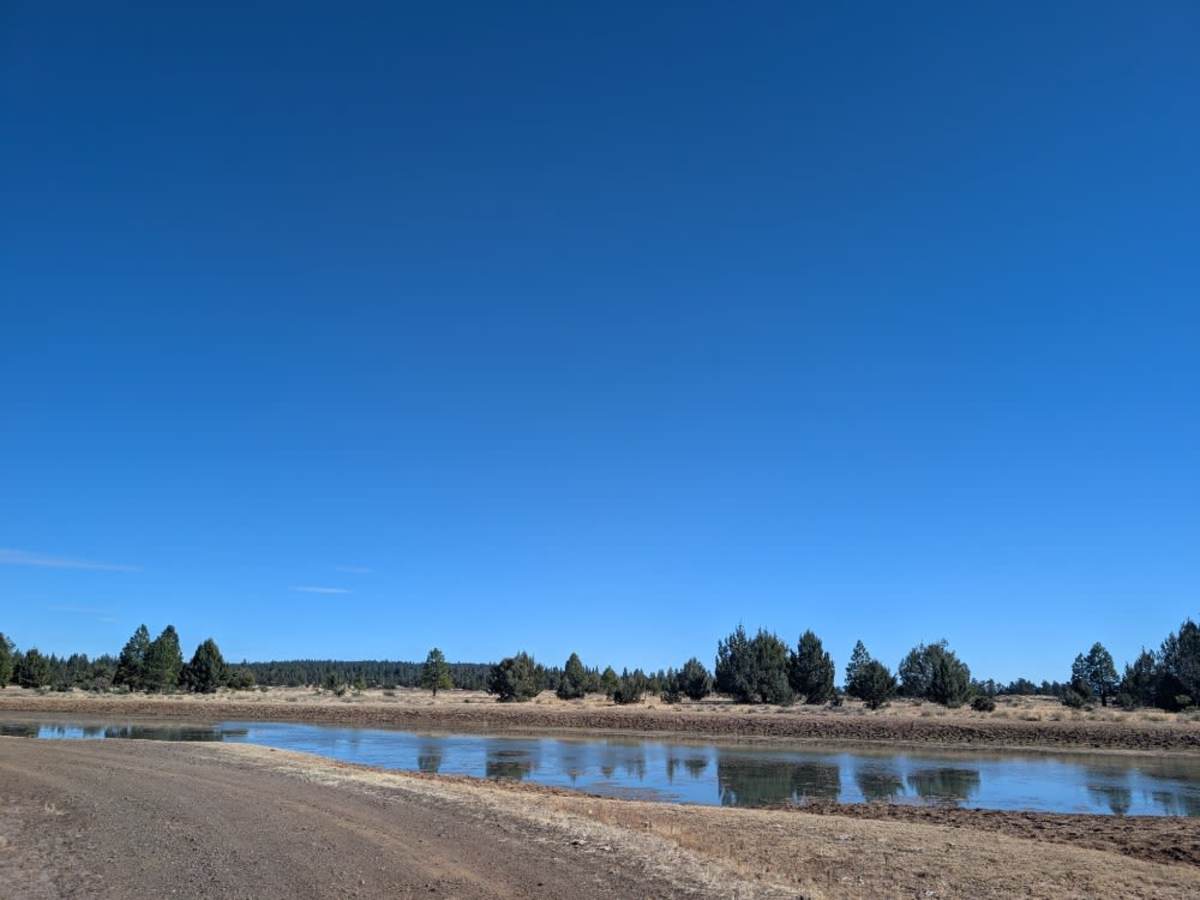
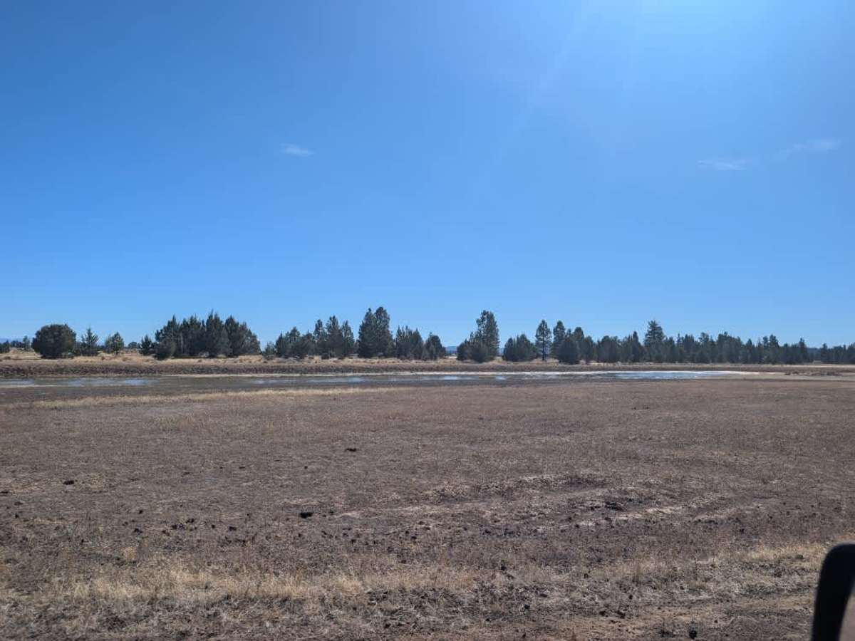
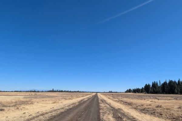
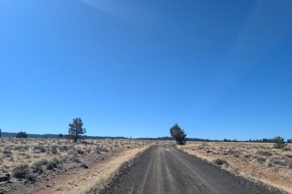
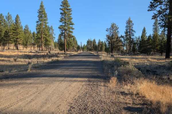
This well-maintained road leads to a reservoir with plenty of water, though algae blooms appear to be present; if you are traveling with pets, especially dogs, keep them away from the water and algae, as some types of algae can be dangerous or even fatal for them. A large fallen tree blocks the original path, but an alternate route has been created to get around it. At the end, there is a lovely dispersed camping area with plenty of room for vehicles and tents, making it a great place to spend the night. There are no facilities or bathrooms, so come prepared to pack in, pack out, and leave the area as you found it. From the camping area, you can also head down toward the shoreline for a walk along the reservoir. ATVs, UTVs, Side-by-Sides, and Dirt Bikes must always have a valid California ATV Operating Permit sticker.