FS 43N77Y

Total Miles0.9
Technical Rating
2Easy
Best TimeSpring, Summer, Fall
Trail TypeFull-Width Road
Accessible By
Open Trail Map

Trail Overview

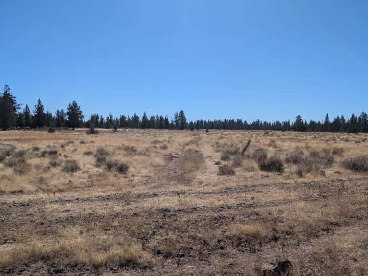
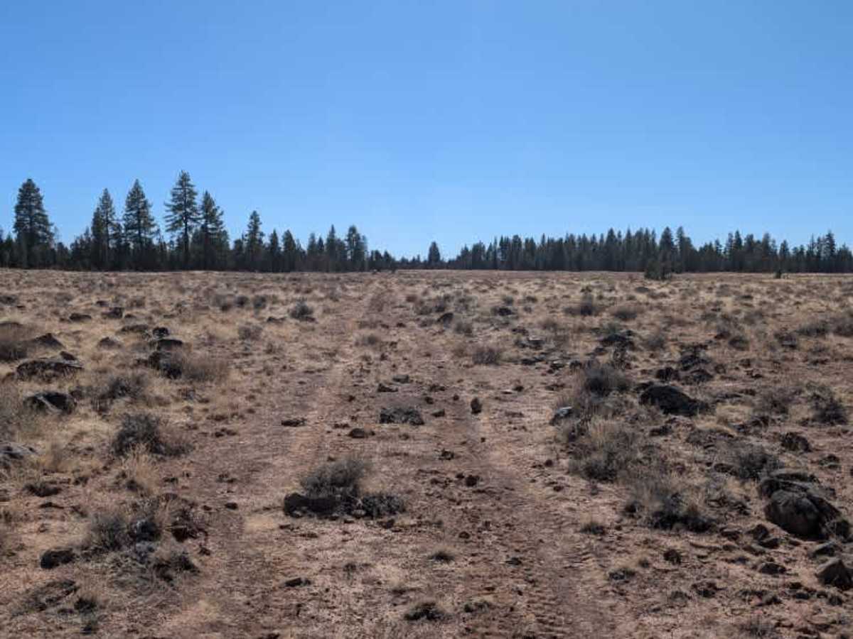
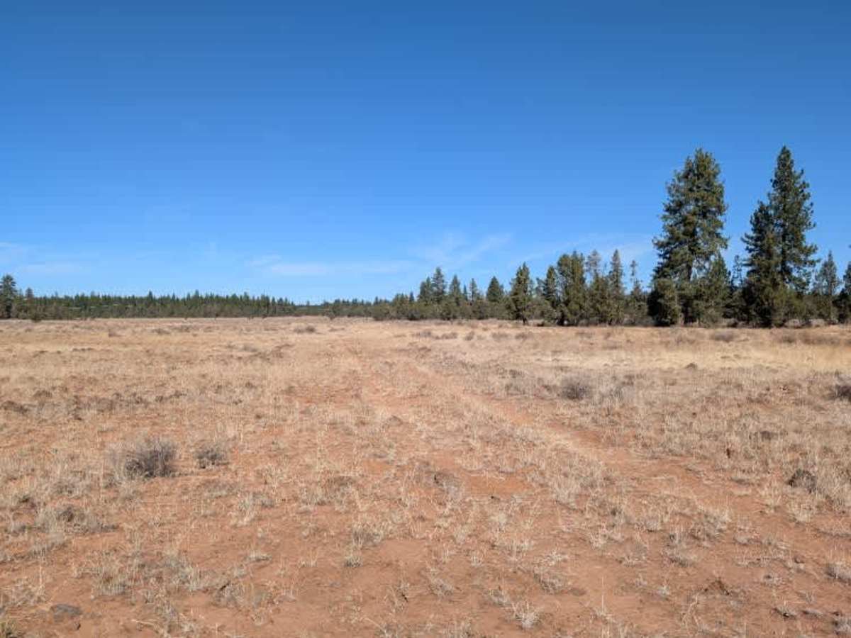
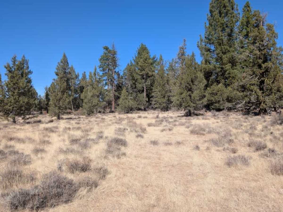
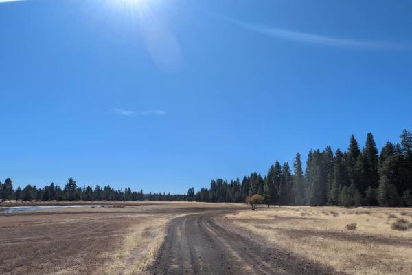
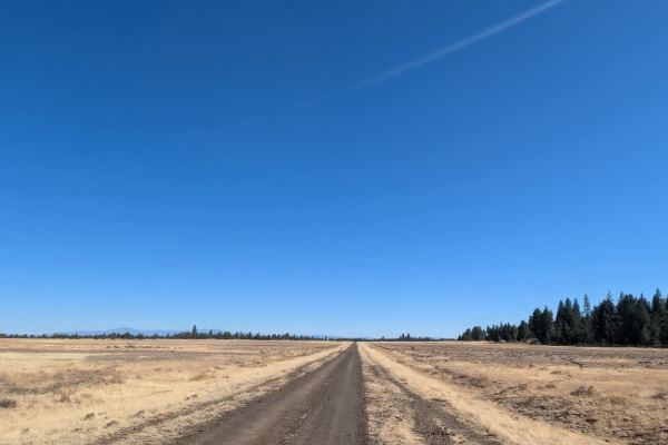
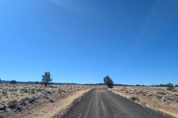
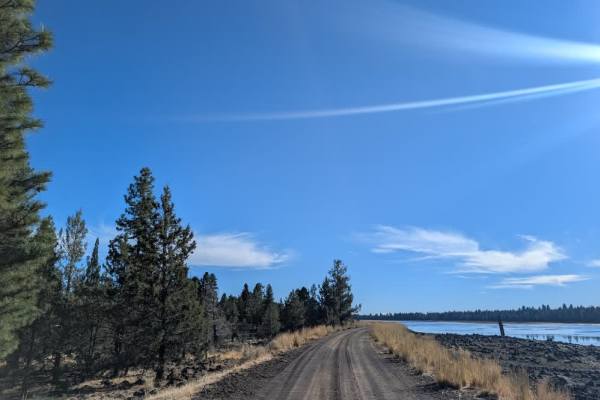
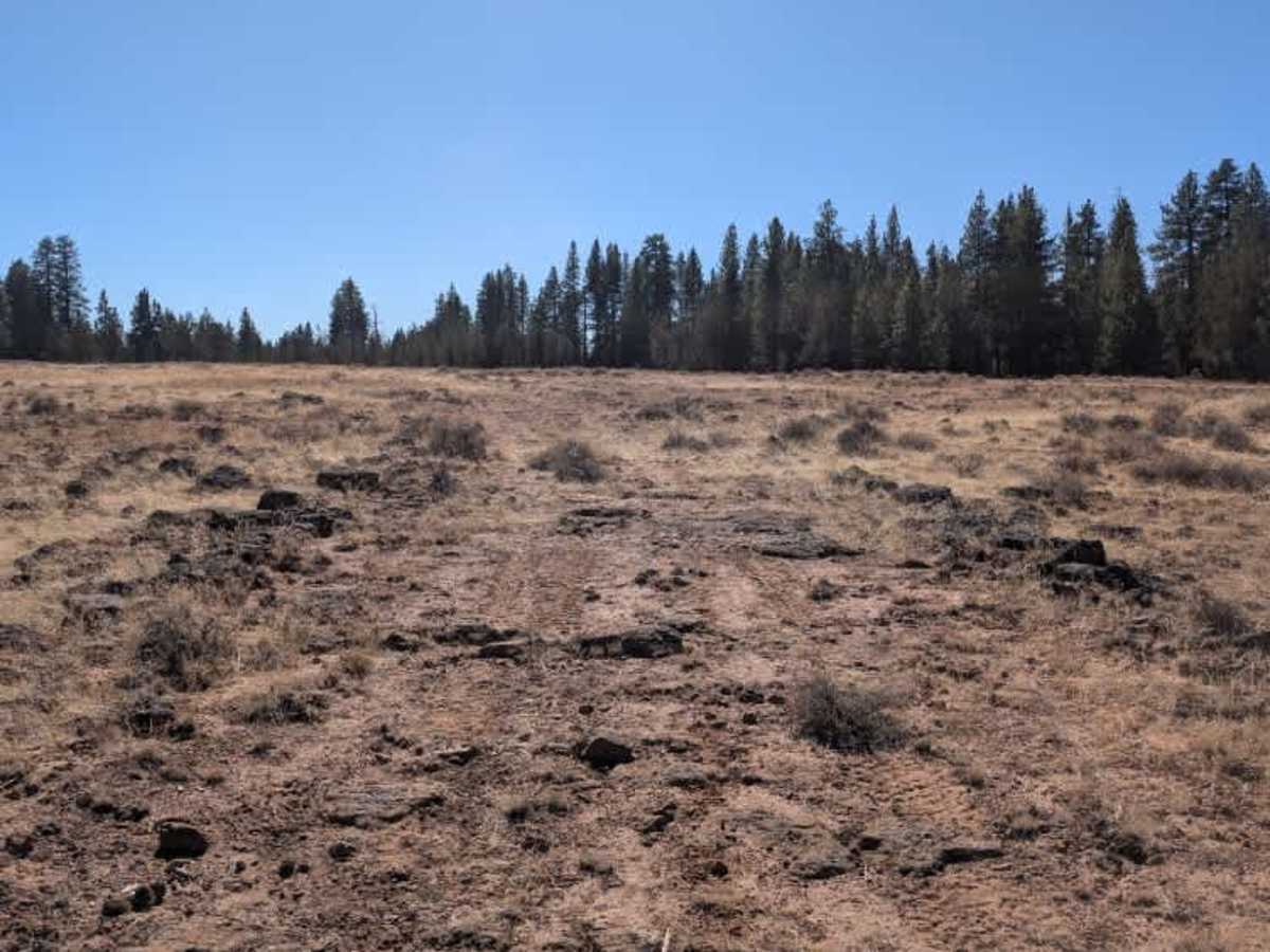
This short connecting route runs between two main arterial roads and crosses a rocky open field along the way. The surface is consistently uneven, with rocks scattered throughout, making for a very bumpy ride. Expect plenty of shaking and bouncing as you cross the field, so take it slow and be ready for a rough stretch. There isn’t much else to see or explore along the way, and the rocky terrain makes it less enjoyable than some of the nearby routes. There may be an opportunity for dispersed camping near the end, although suitable spots are limited by the open, rocky surroundings. Overall, this is more of a functional connector than a route worth seeking out on its own. ATVs, UTVs, Side-by-Sides, and Dirt Bikes must always have a valid California ATV Operating Permit sticker.

Photos of FS 43N77Y

Difficulty

The rocky open field creates a consistently uneven and bumpy ride, with scattered rocks requiring careful navigation.

Technical Rating

2

FS 43N77Y Trail can be accessed by the following ride types:

  • Single Track
  • 50 Inch
  • 60 Inch
  • High Clearance
  • Full Width

FS 43N77Y Map

The onX Offroad Difference

onX Offroad combines trail photos, descriptions, difficulty ratings, width restrictions, seasonality, and more in a user-friendly interface. Available on all devices, with offline access and full compatibility with CarPlay and Android Auto. Discover what you're missing today!

Open Trail Map