Trail Overview
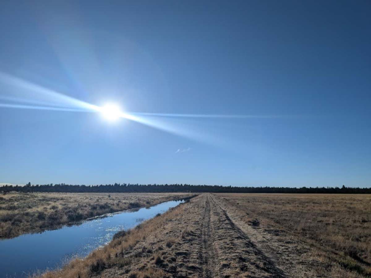
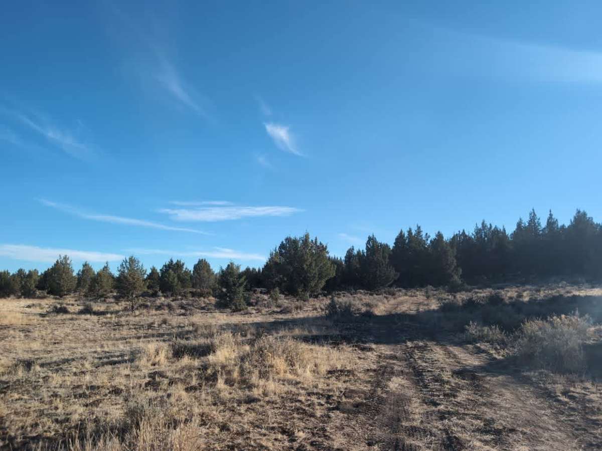
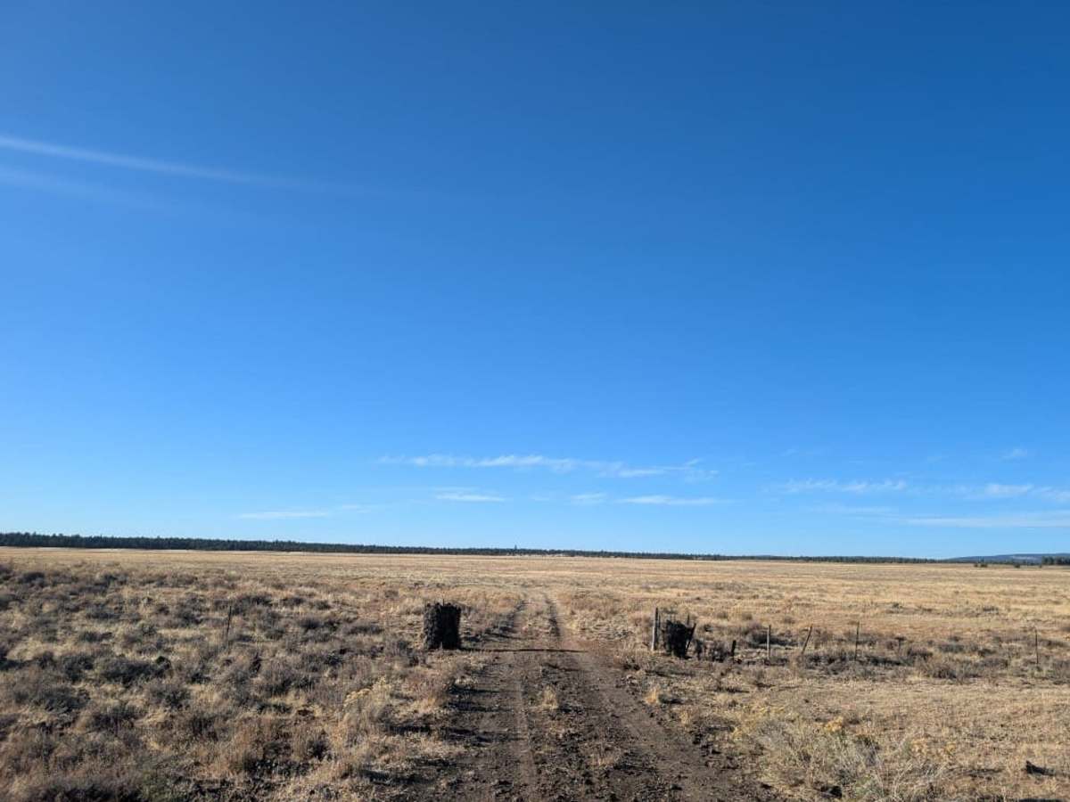
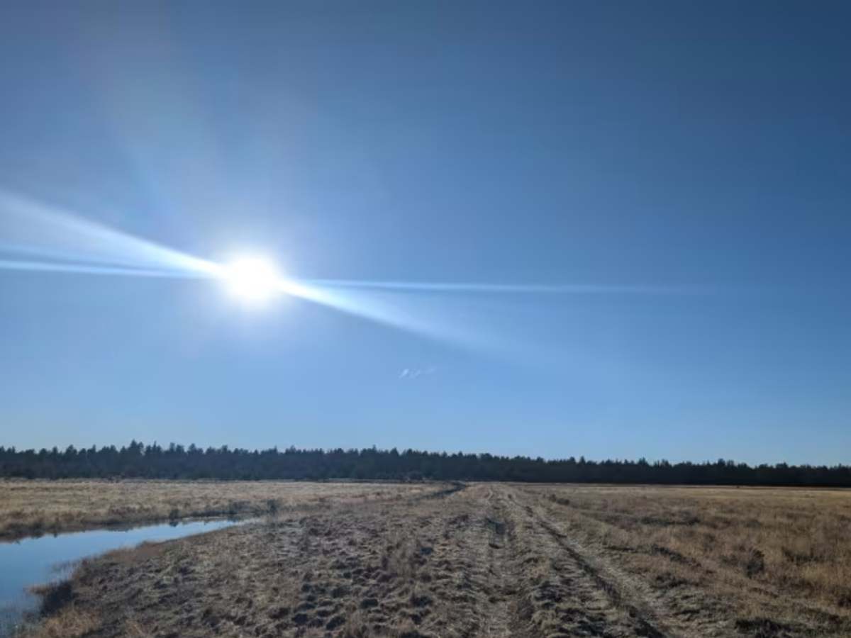
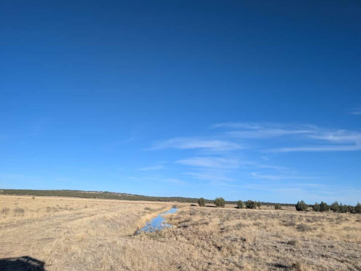
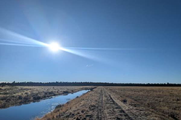
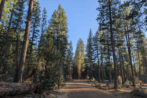
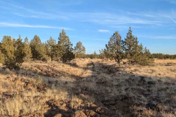
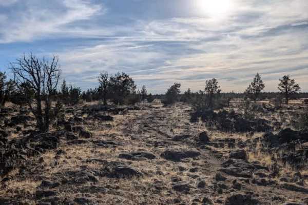
This road crosses a marshland area and appears to be the only access route to FS 44N12. Although the map directs drivers to continue along FS 43N18 to reach the connecting road, that route actually ends at a cattle area where a turnaround is required. This makes the marshland road the only practical way to access FS 44N12, despite the somewhat unusual routing shown on the map. The road itself is in good condition, with a rocky, sandy surface and a high center median. High clearance is necessary to navigate the raised middle section, and drivers may need to travel at an angle if attempting to straddle it. Most traffic appears to drive directly over the median. A raised suspension is recommended, and this route is not advisable for sedans due to the required ground clearance. ATVs, UTVs, Side-by-Sides, and Dirt Bikes must always have a valid California ATV Operating Permit sticker.