Trail Overview
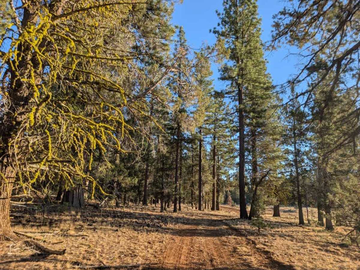
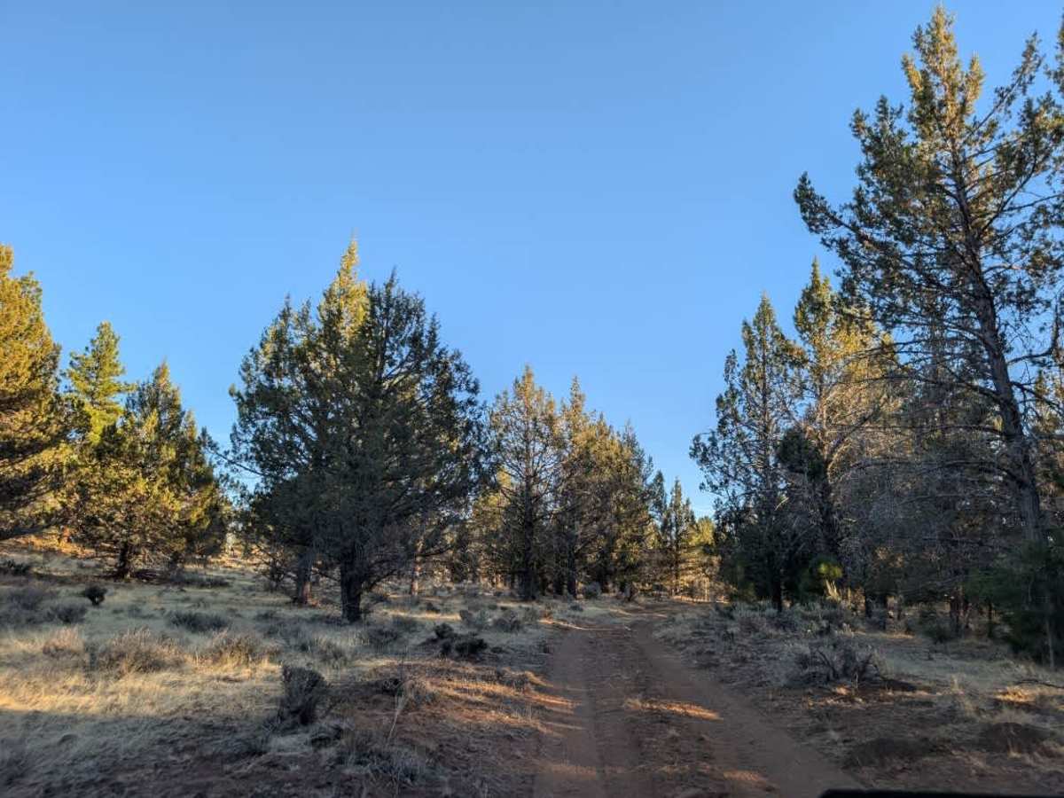
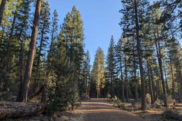
This route starts off fairly manageable but becomes increasingly rough as the surface transitions to sharp, exposed rocks. The most difficult section crosses a volcanic lava field where erosion has created deep holes and ruts up to about 30 centimeters deep. Finding a suitable line through this area can be challenging, as the existing track is heavily eroded and there is very little room to maneuver. Several dips and uneven sections create an extremely jarring ride, with constant shaking that can be hard on both the vehicle and its occupants. The imprinted track appears to consist of a single tire line, possibly from motorcycle traffic, so drivers will need to choose which side to follow or carefully find their own path. Maintaining momentum through the lava field can help make the crossing easier, while lowering tire pressure may also improve the ride if possible. Once past this section, the surface improves considerably, although it remains rocky and progress is still slow. High-clearance vehicles only, including ATVs and SxS vehicles. Sedans should not attempt this route, and travel is not recommended during the wet season. ATVs, UTVs, Side-by-Sides, and Dirt Bikes must always have a valid California ATV Operating Permit sticker.

 Offroad