Trail Overview
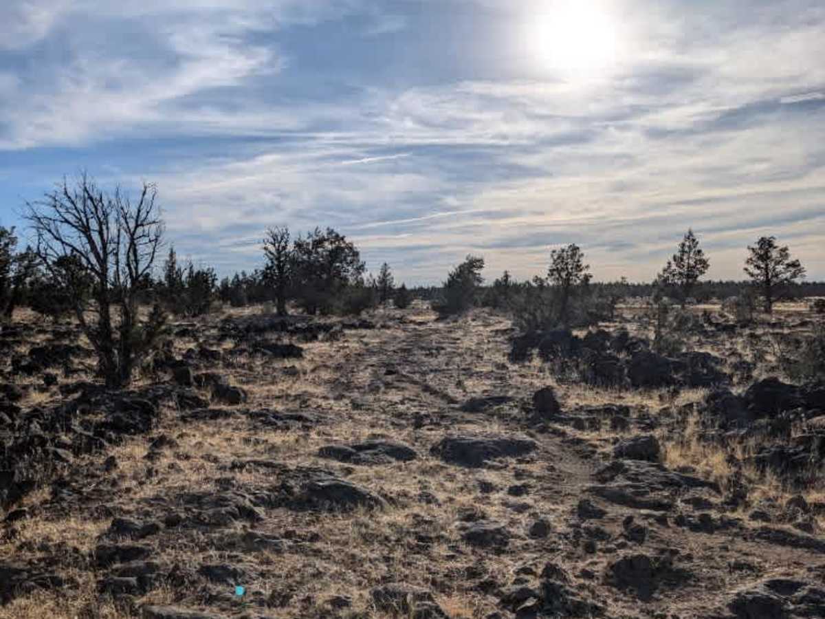
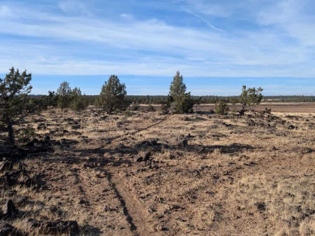
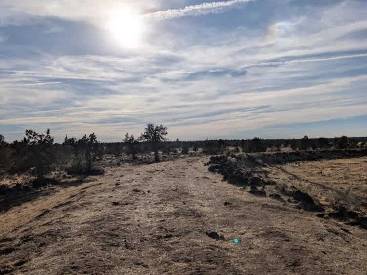
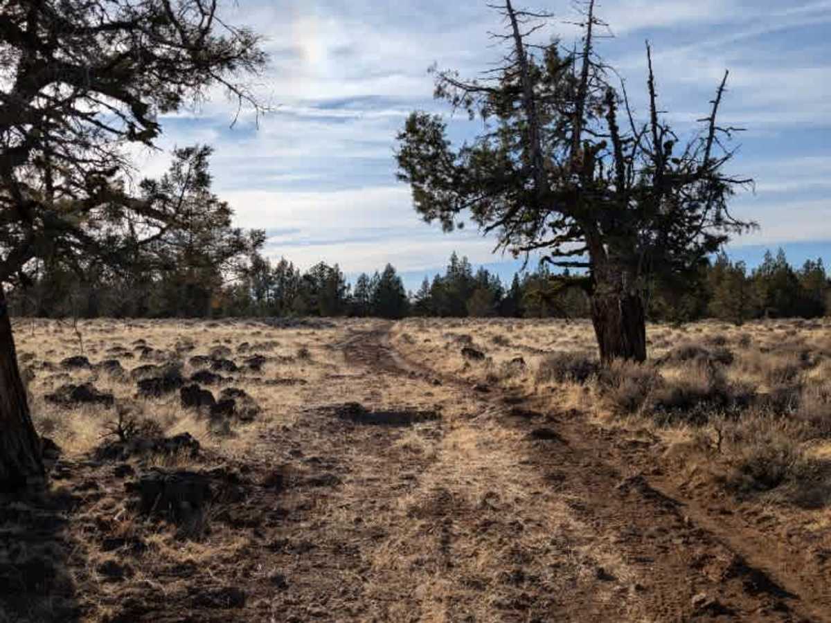
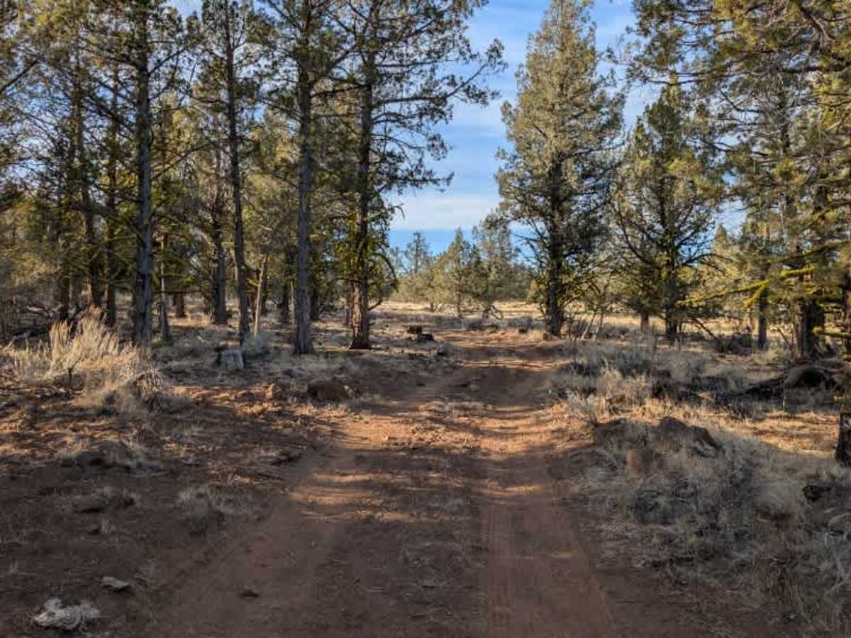
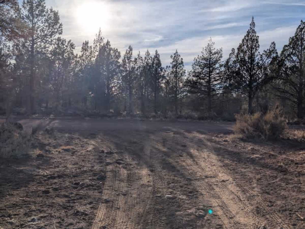
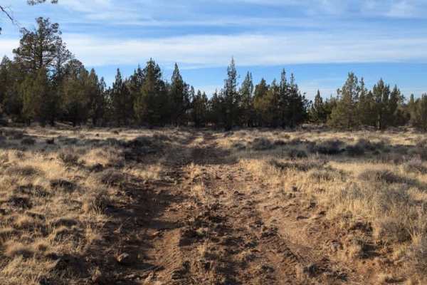
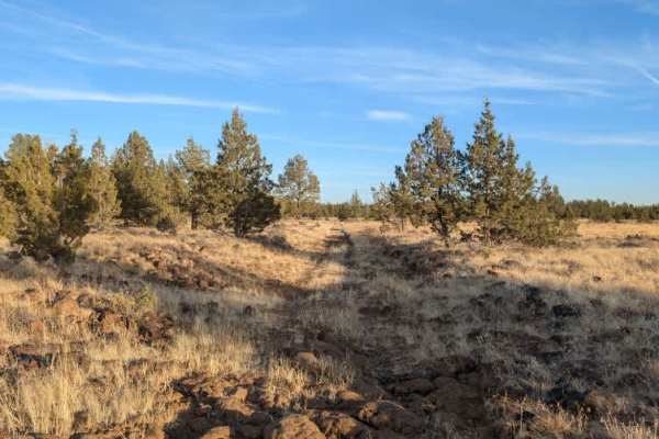
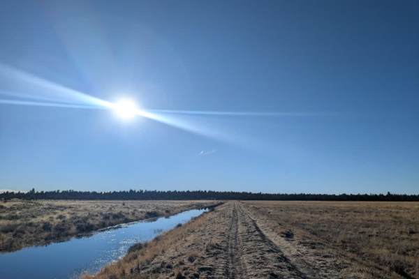
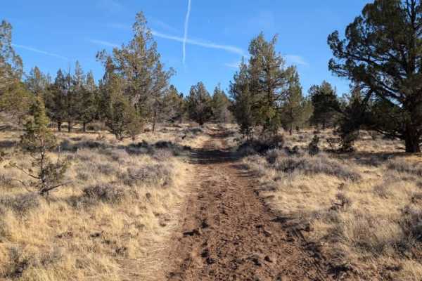
This rough, unmaintained route branches off the main Crowder Flat Road, initially following the raised bank before dropping onto rocky terrain. Traveling west to east, the first section is fairly manageable and remains serviceable despite some rough spots. However, conditions deteriorate significantly after the intersection with FS 45A16A. Beyond that point, the route becomes increasingly rocky, with very little recognizable road surface. The final section near the intersection with FS 46N05 is especially rough, consisting largely of exposed volcanic rock and slate that vehicles must carefully navigate over. Four-wheel drive is required, and medium-to-high ground clearance is recommended. Take your time through the rockier areas, as the route becomes difficult to follow in places. This route is subject to Seasonal Designation from 05/01-11/30. Please check local regulations and current conditions before traveling. ATVs, UTVs, Side-by-Sides, and Dirt Bikes must always have a valid California ATV Operating Permit sticker.
Difficulty
The initial section is manageable, but the road deteriorates considerably farther along, becoming heavily rocky and difficult to navigate.