Trail Overview
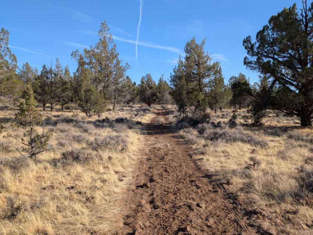
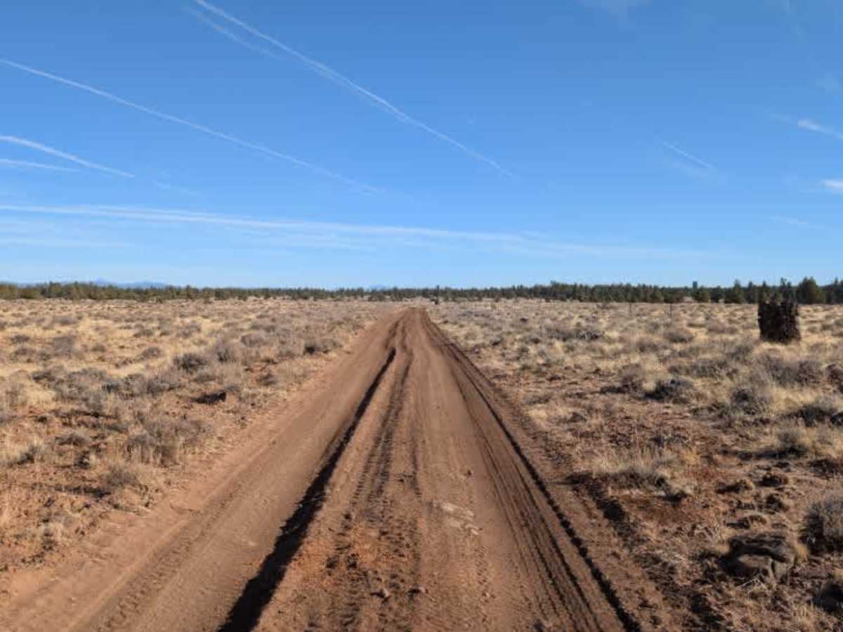
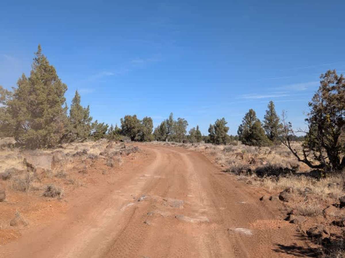
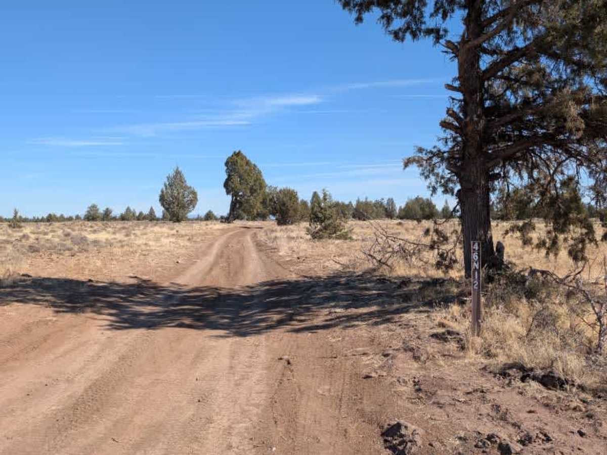
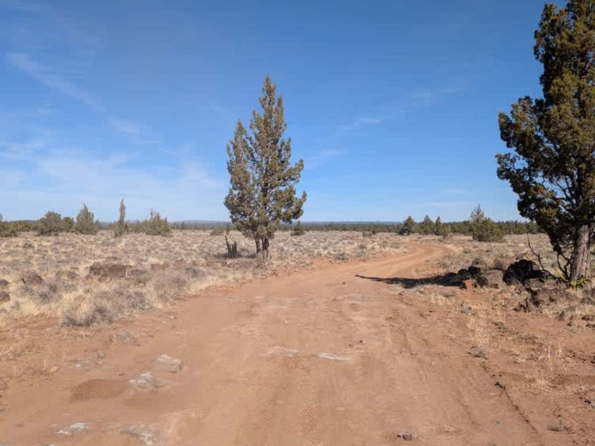
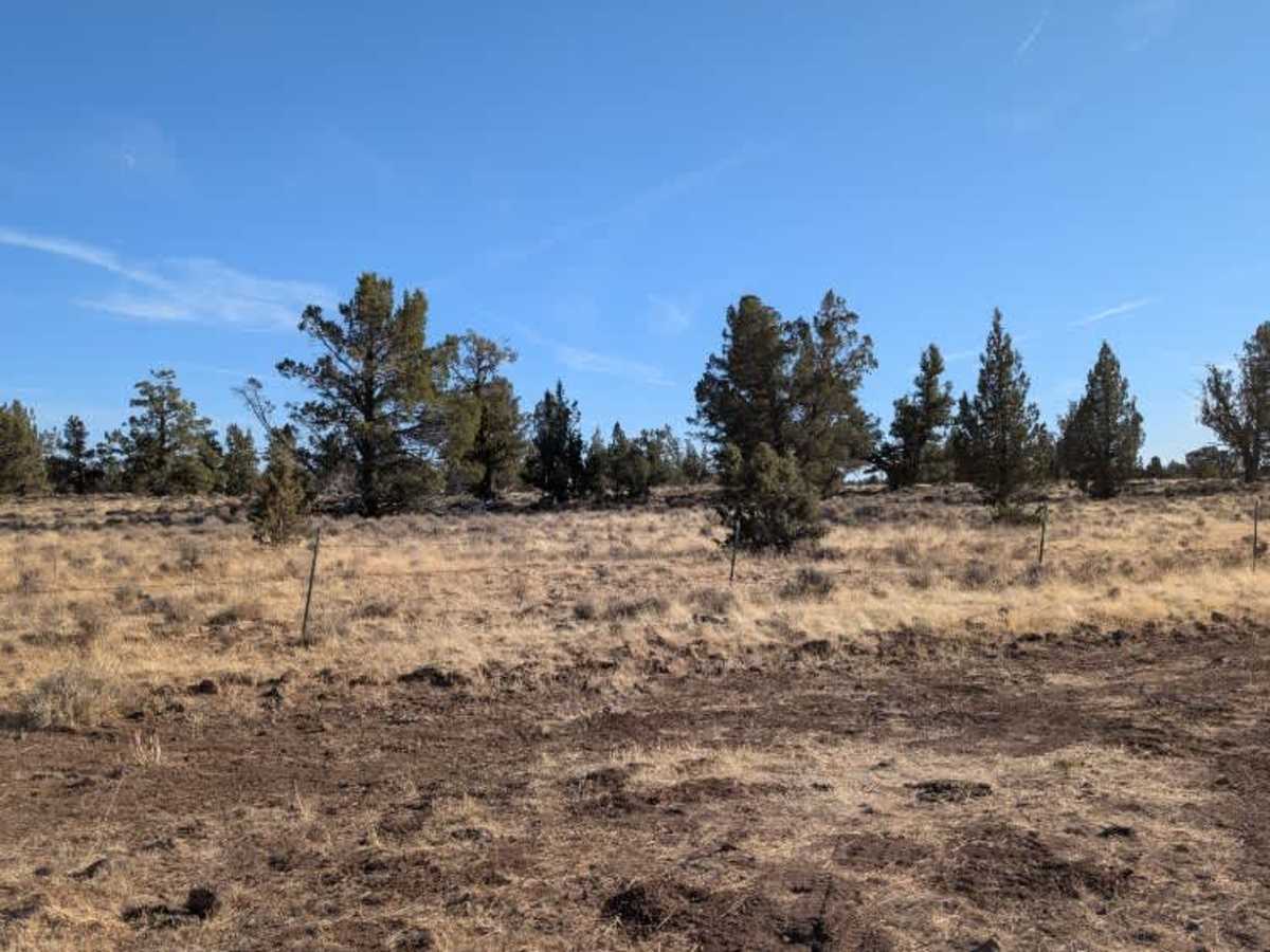
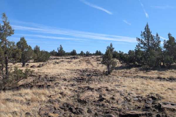
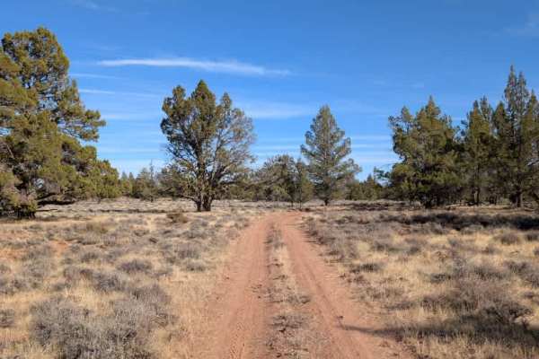
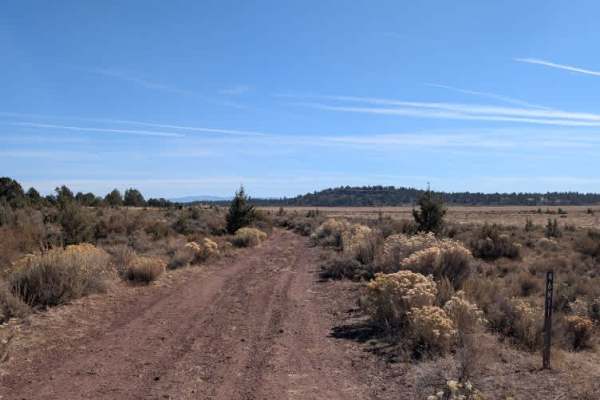
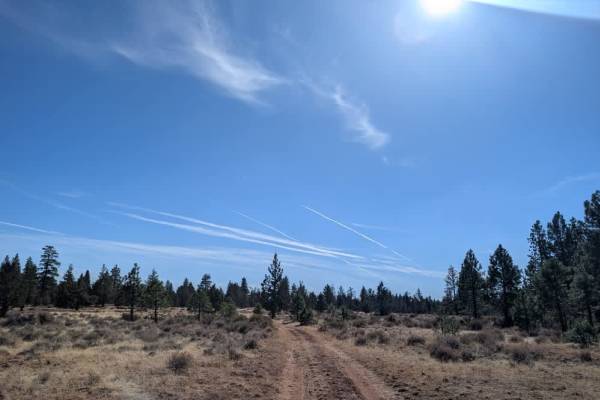
This long, bumpy route begins as a main access road connected to the Crowder Flat Road, likely serving nearby farm operations. It initially runs west to east before turning south and eventually following the National Forest boundary fence toward the Rim Rock Valley (FS 46N05). The route has several changes in condition and difficulty along the way. Starting from the northwest, expect a fairly wide single-lane road with some ruts and occasional rocky sections, including areas where large rocks protrude from the ground like natural ledges. These obstacles are manageable for most 4x4 vehicles. After crossing Deer Hill (FS 46N07), the road becomes noticeably smoother, with only minor rocks and ruts as it continues toward Timbered Mountain (FS 46N01). Beyond that intersection, the route turns right along the fence and becomes much less maintained and very rocky. Several sections follow what appear to be dry riverbeds before climbing back into the hills and winding through the forest. Watch for deep dips, loose rocks, and larger boulders throughout this final stretch before reaching Rim Rock Valley (FS 46N05). This route is subject to Seasonal Designation from 05/01-11/30. Please check local regulations and current conditions before traveling. ATVs, UTVs, Side-by-Sides, and Dirt Bikes must always have a valid California ATV Operating Permit sticker.
Difficulty
This route varies in difficulty, starting with manageable ruts and rocky sections before becoming significantly rougher beyond FS 46N01, where large boulders, deep dips, and loose rocks require careful maneuvering.