Deer Hill - FS 46N07

Total Miles6.9
Technical Rating
4Moderate
Best TimeSpring, Fall, Summer
Trail TypeFull-Width Road
Accessible By
Open Trail Map

Trail Overview

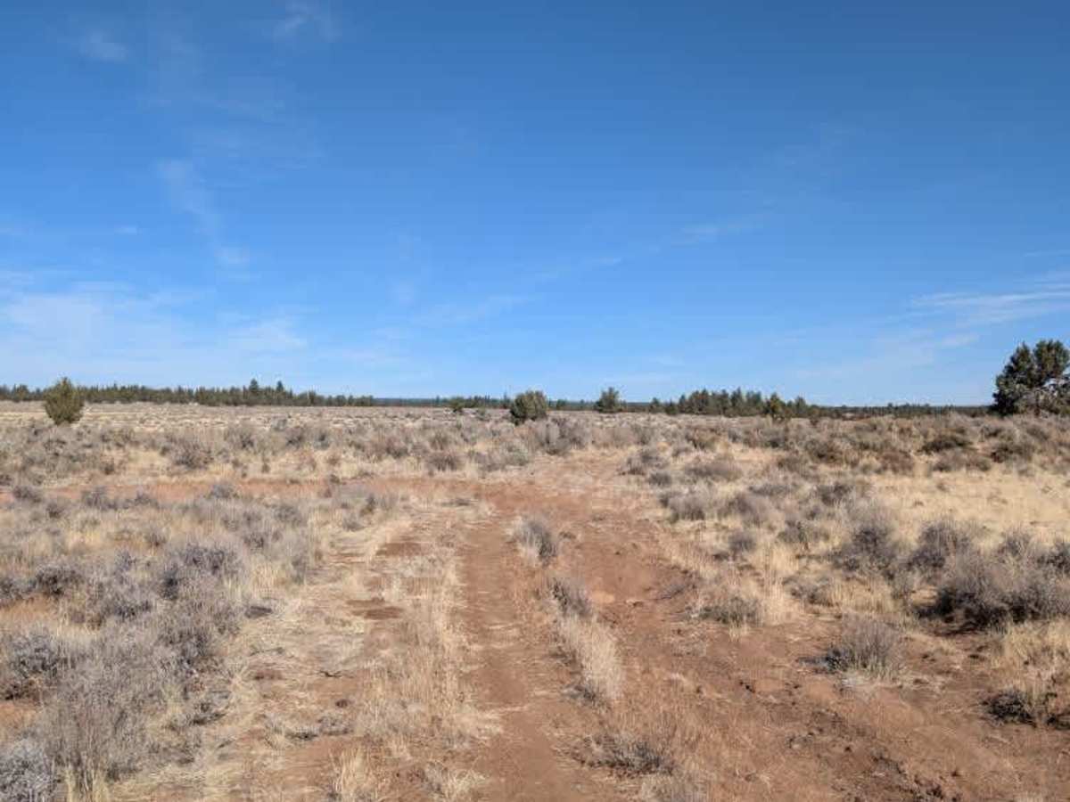
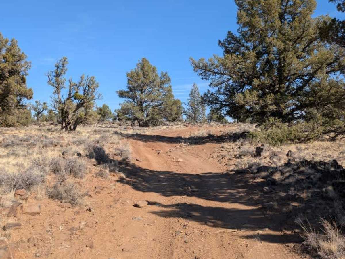
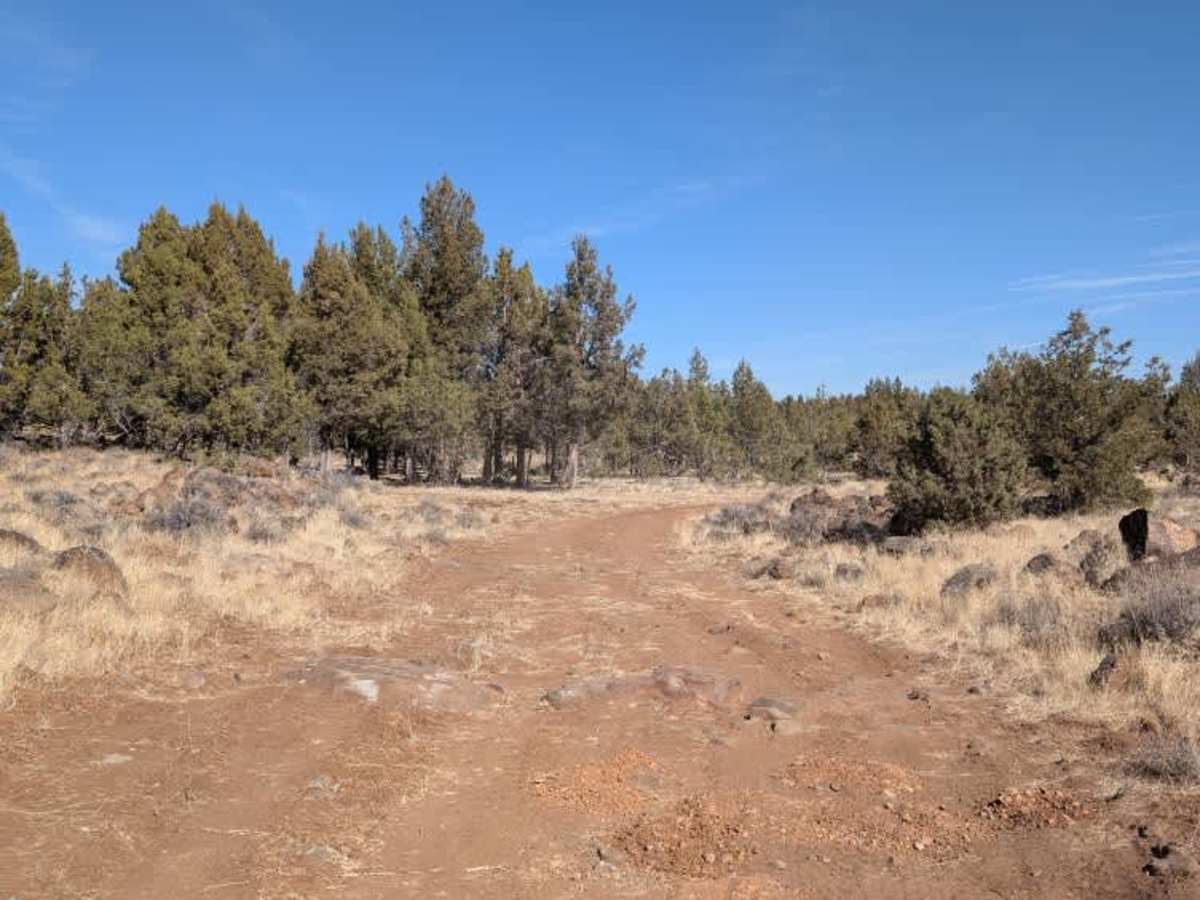
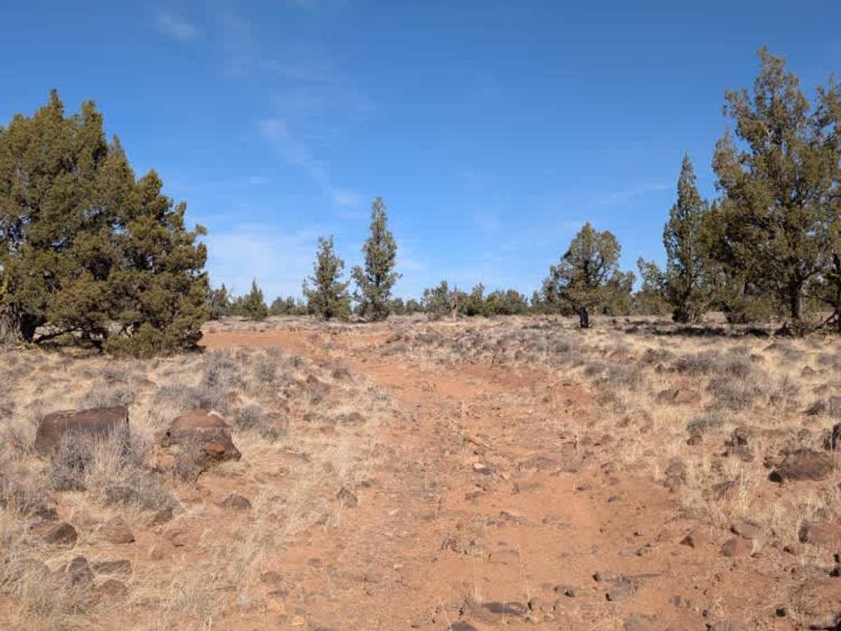
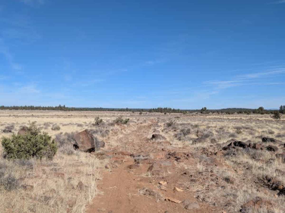
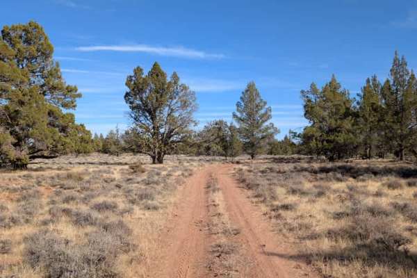
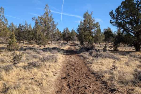
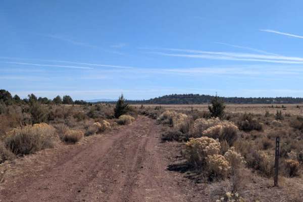
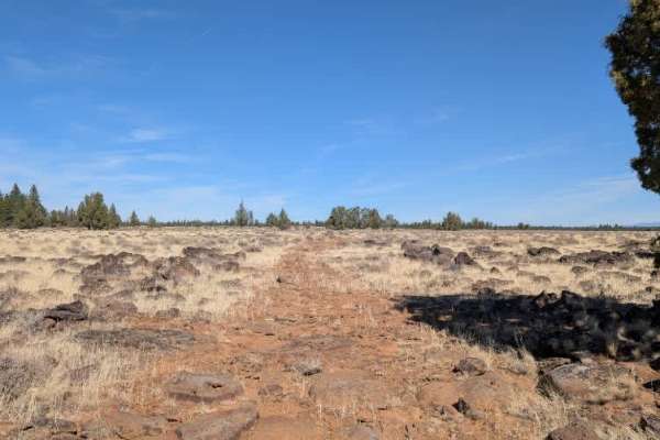
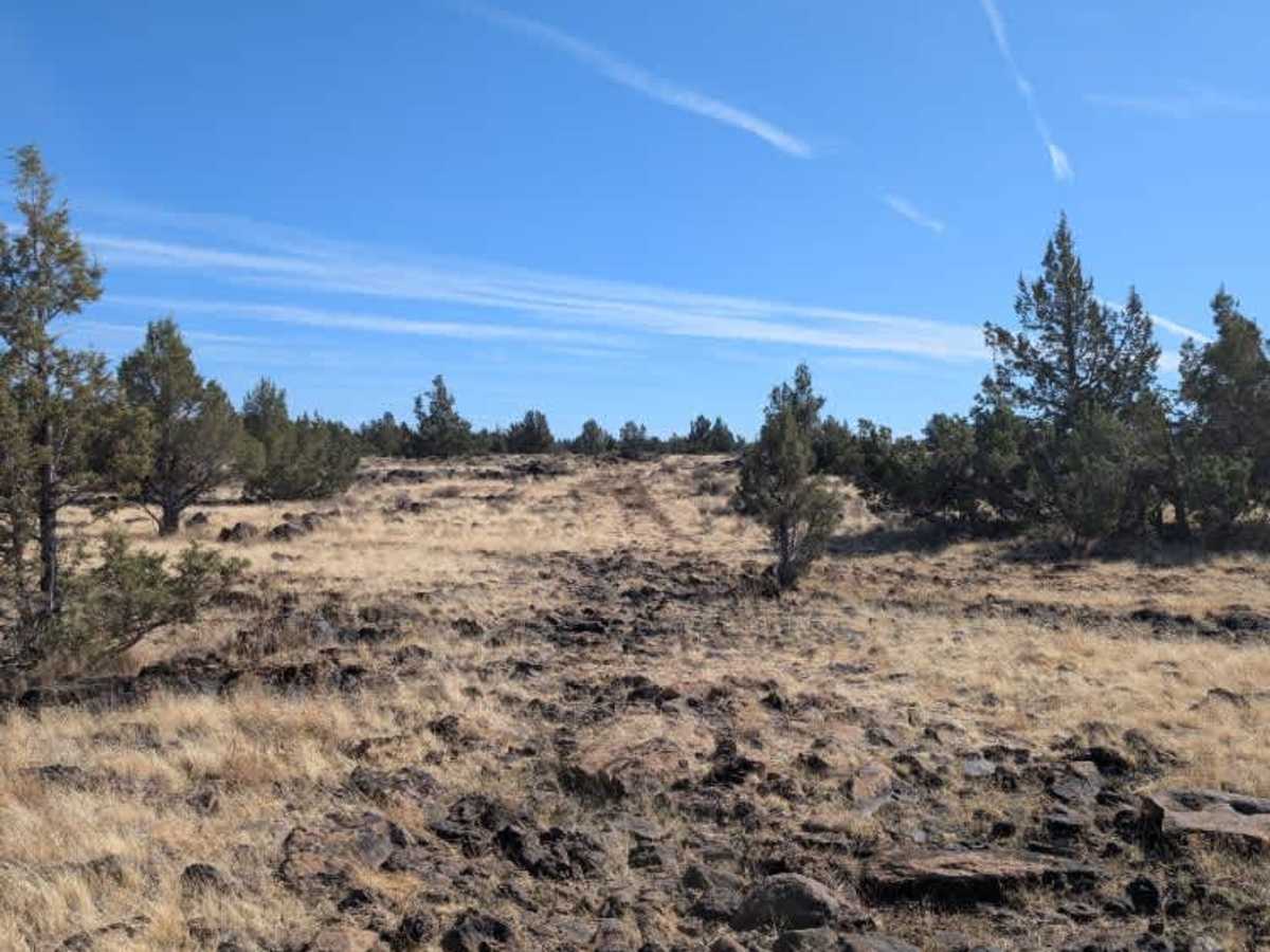
This route becomes increasingly rocky and overgrown as it continues from the intersection with FS 47N22. Although it is open to all vehicles, the rougher sections are much better suited to ATVs, while full-size 4x4s will need good ground clearance and solid suspension articulation. Expect large boulders, exposed rocks, and narrow rock ledges that require careful maneuvering, even though the obstacles are not especially steep. Farther along, tall grass can hide rocks and ditches, making it difficult to spot obstacles before reaching them. The route passes a reservoir, with a right-hand branch leading toward its banks, though muddy conditions may make that option questionable. The main route continues through mostly exposed terrain with few places to pull off or disperse camp before ending at a T-junction. The northbound option appears less traveled based on the existing tracks, so use caution when choosing which direction to continue. This route is subject to Seasonal Designation from 05/01-11/30. Please check local regulations and current conditions before traveling. ATVs, UTVs, Side-by-Sides, and Dirt Bikes must always have a valid California ATV Operating Permit sticker.

Photos of Deer Hill - FS 46N07

Difficulty

Increasingly rocky and overgrown conditions make this a challenging route, particularly for larger vehicles navigating the boulders and narrow rock ledges.

Technical Rating

4

Deer Hill - FS 46N07 Trail can be accessed by the following ride types:

  • Single Track
  • 50 Inch
  • 60 Inch
  • High Clearance
  • Full Width

Deer Hill - FS 46N07 Map

The onX Offroad Difference

onX Offroad combines trail photos, descriptions, difficulty ratings, width restrictions, seasonality, and more in a user-friendly interface. Available on all devices, with offline access and full compatibility with CarPlay and Android Auto. Discover what you're missing today!

Open Trail Map