Trail Overview
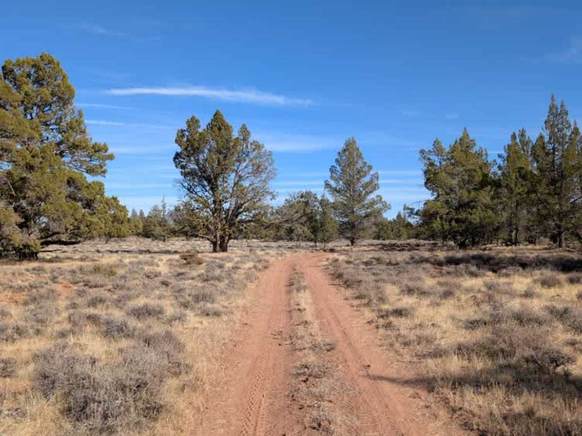
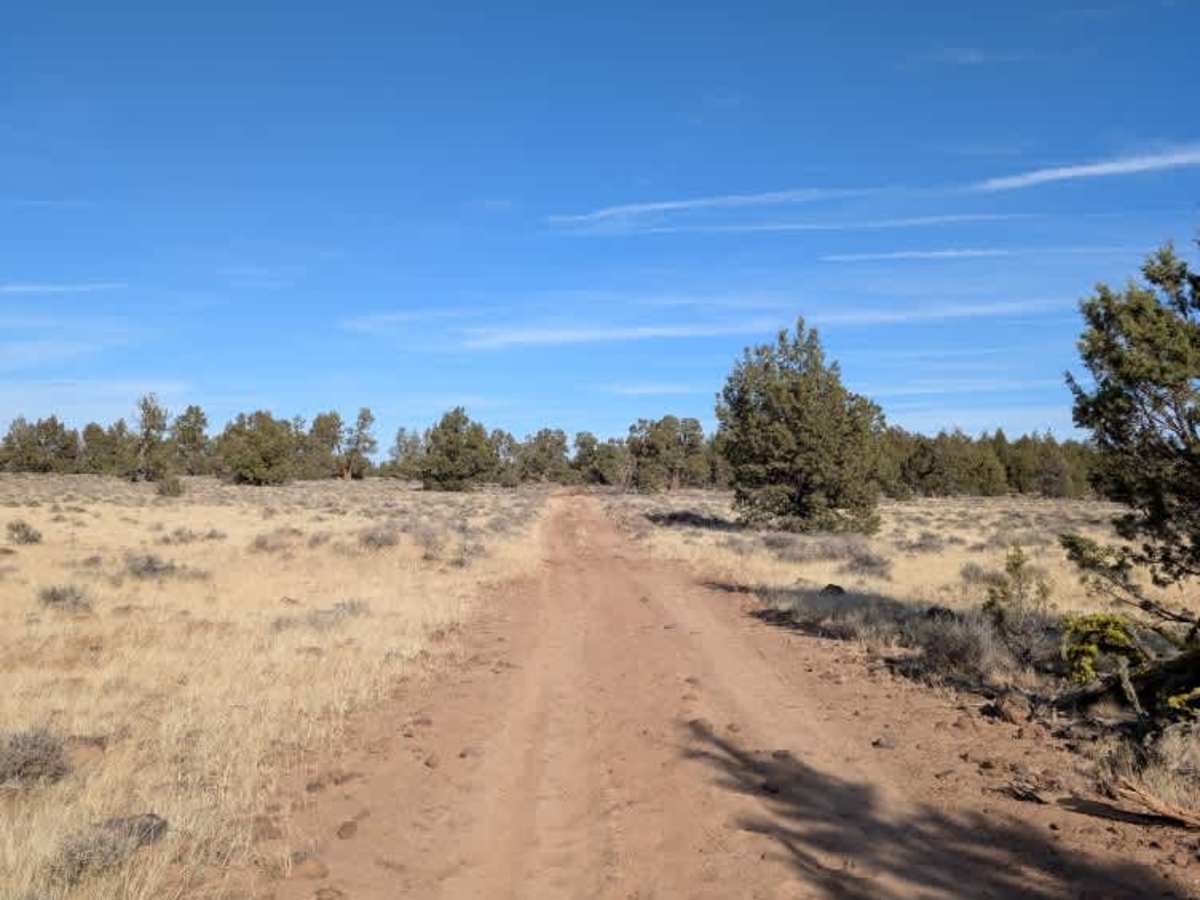
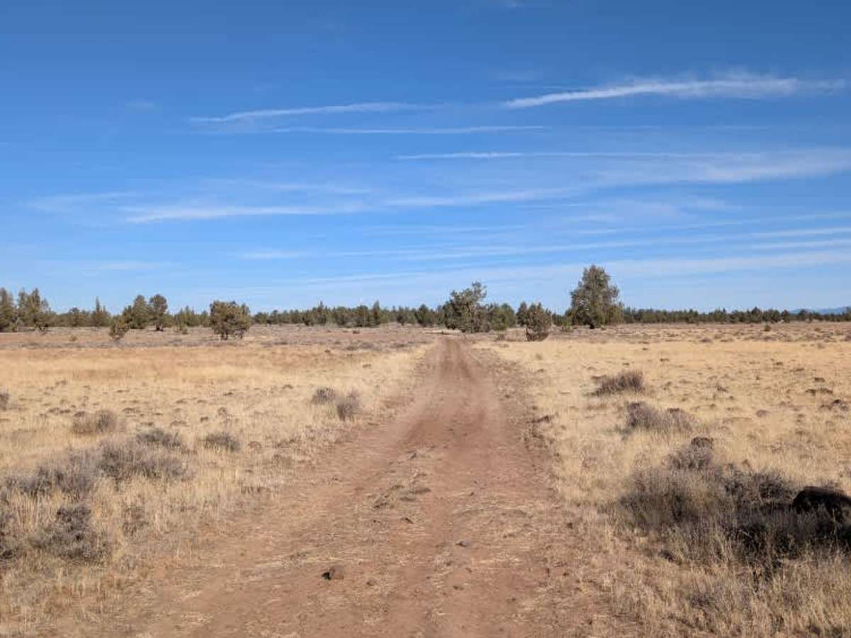
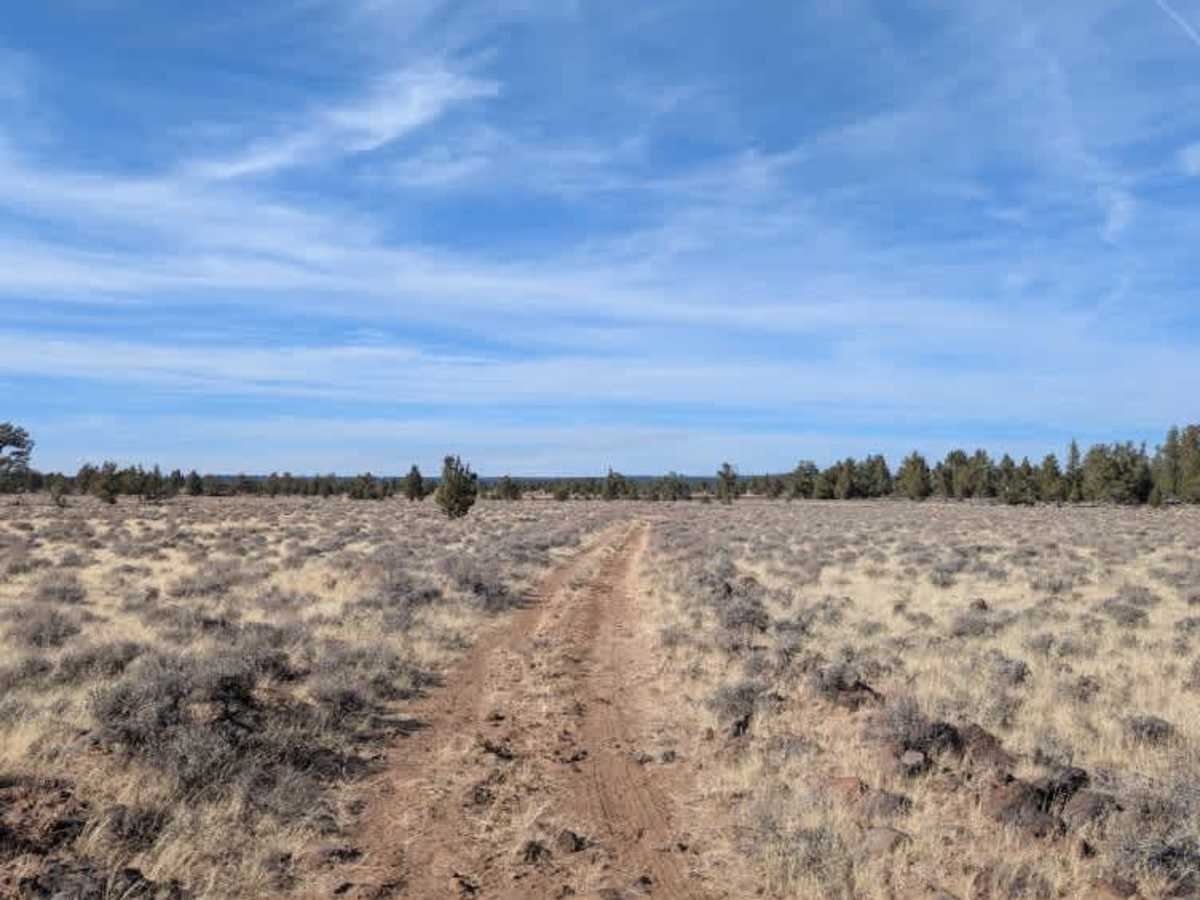
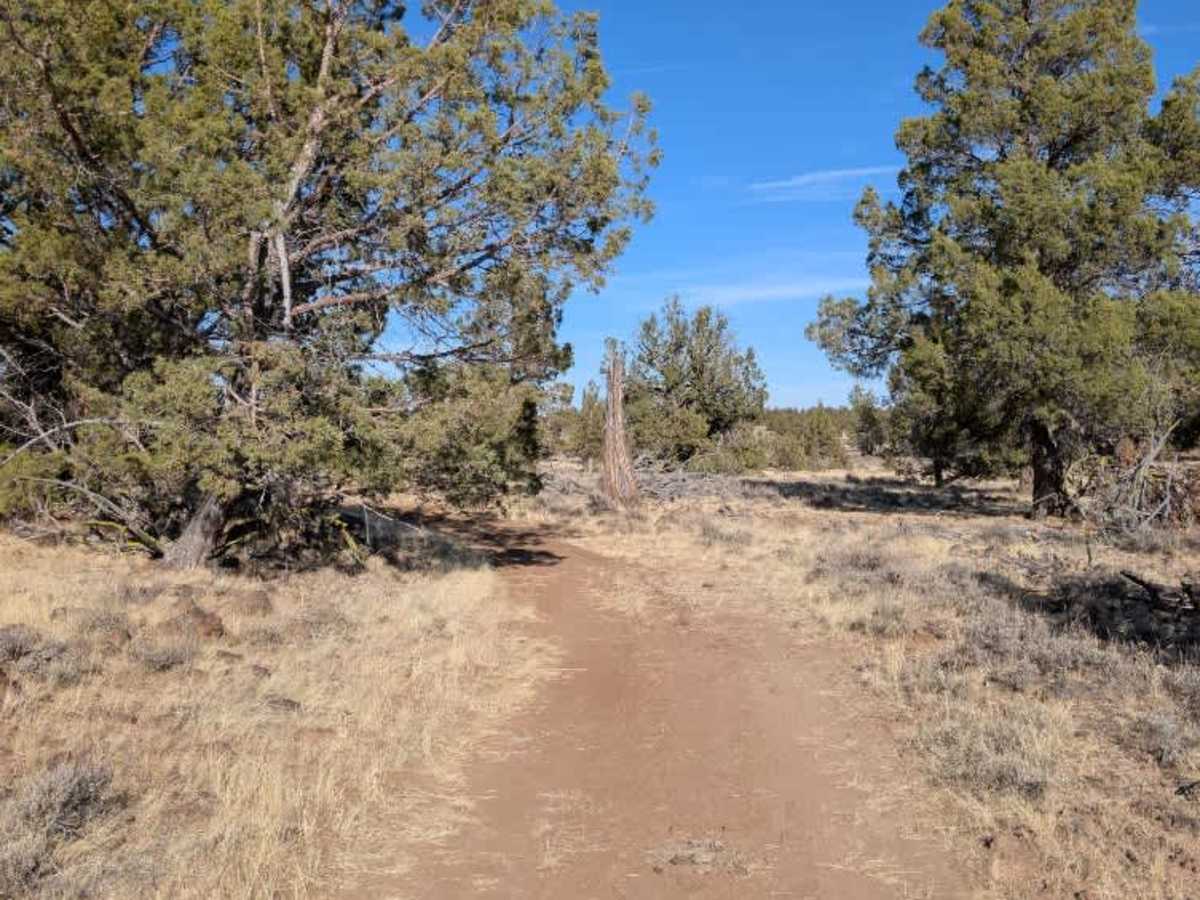
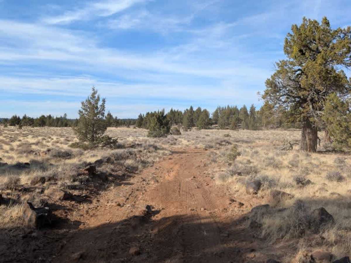
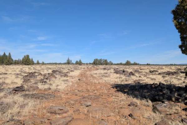
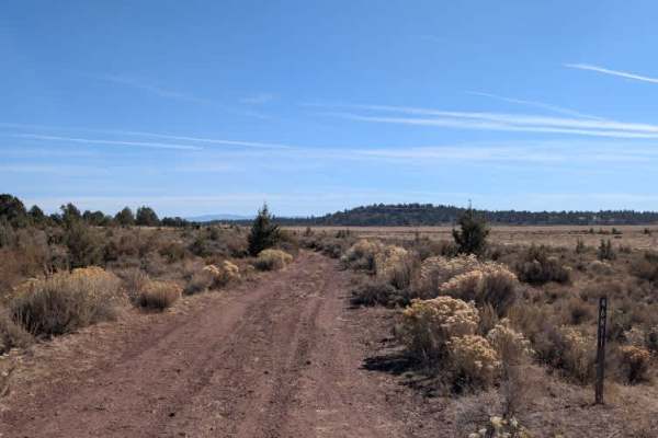
This trail appears to be the most frequently used route in the area, with fewer rocky sections and a generally more manageable surface than surrounding trails. The road winds through the forest and has a northern split that leads toward the reservoir. Taking the alternate route around this section also provides access to a small dispersed campsite tucked into a clearing, with enough room for one vehicle. While the drive is more enjoyable and less demanding than some of the surrounding roads, it is still rough enough to require a 4x4 with decent ground clearance. Most capable vehicles should make it through, but expect tight spots and obstacles that could leave a few scratches along the way. This route is subject to Seasonal Designation from 05/01-11/30. Please check local regulations and current conditions before traveling. ATVs, UTVs, Side-by-Sides, and Dirt Bikes must always have a valid California ATV Operating Permit sticker.
Difficulty
Although it has fewer rocky sections, the uneven surface and tight passages make careful driving necessary, especially in larger vehicles.