FS 46B29Z

Total Miles3
Technical Rating
1Easy
Best TimeSpring, Summer, Fall
Trail TypeFull-Width Road
Accessible By
Open Trail Map

Trail Overview

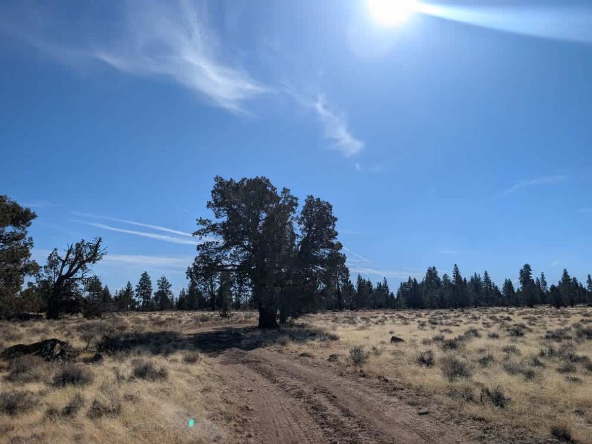
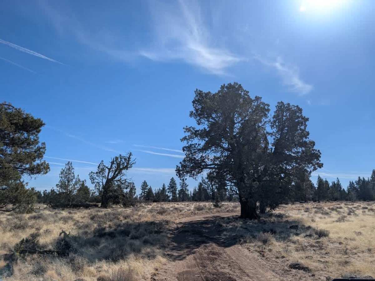
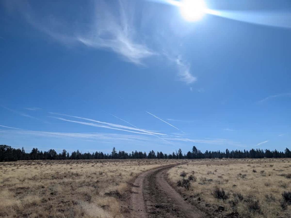
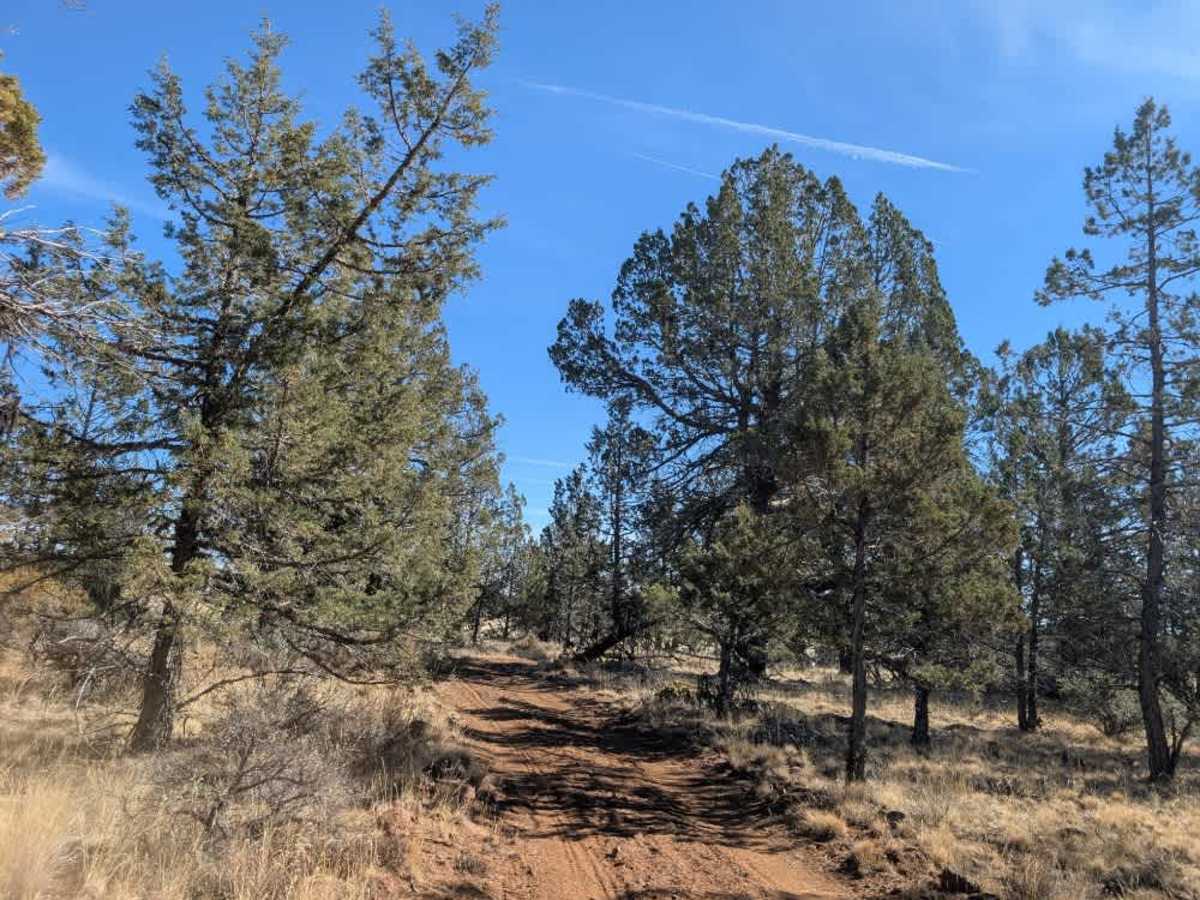
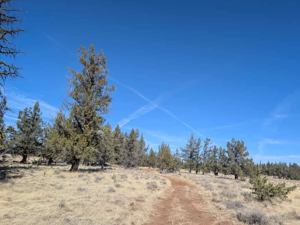
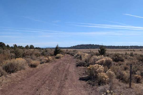
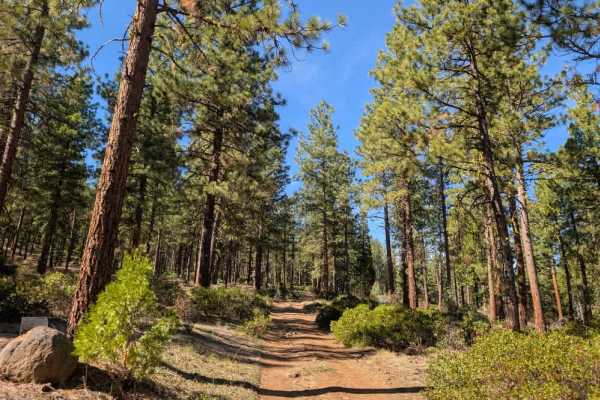
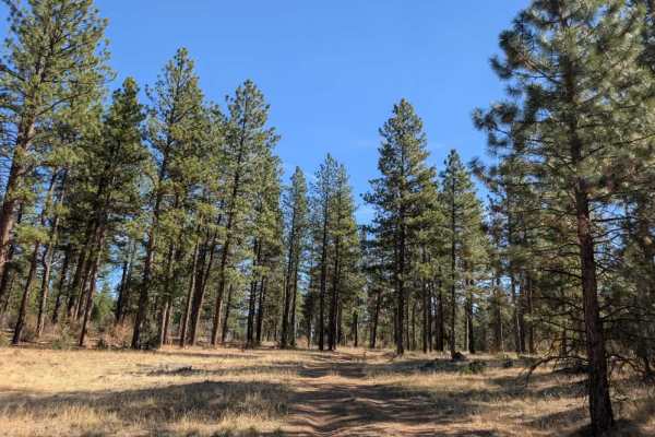
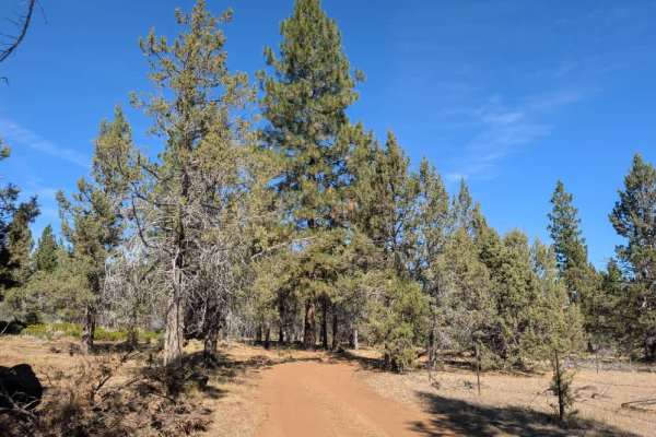
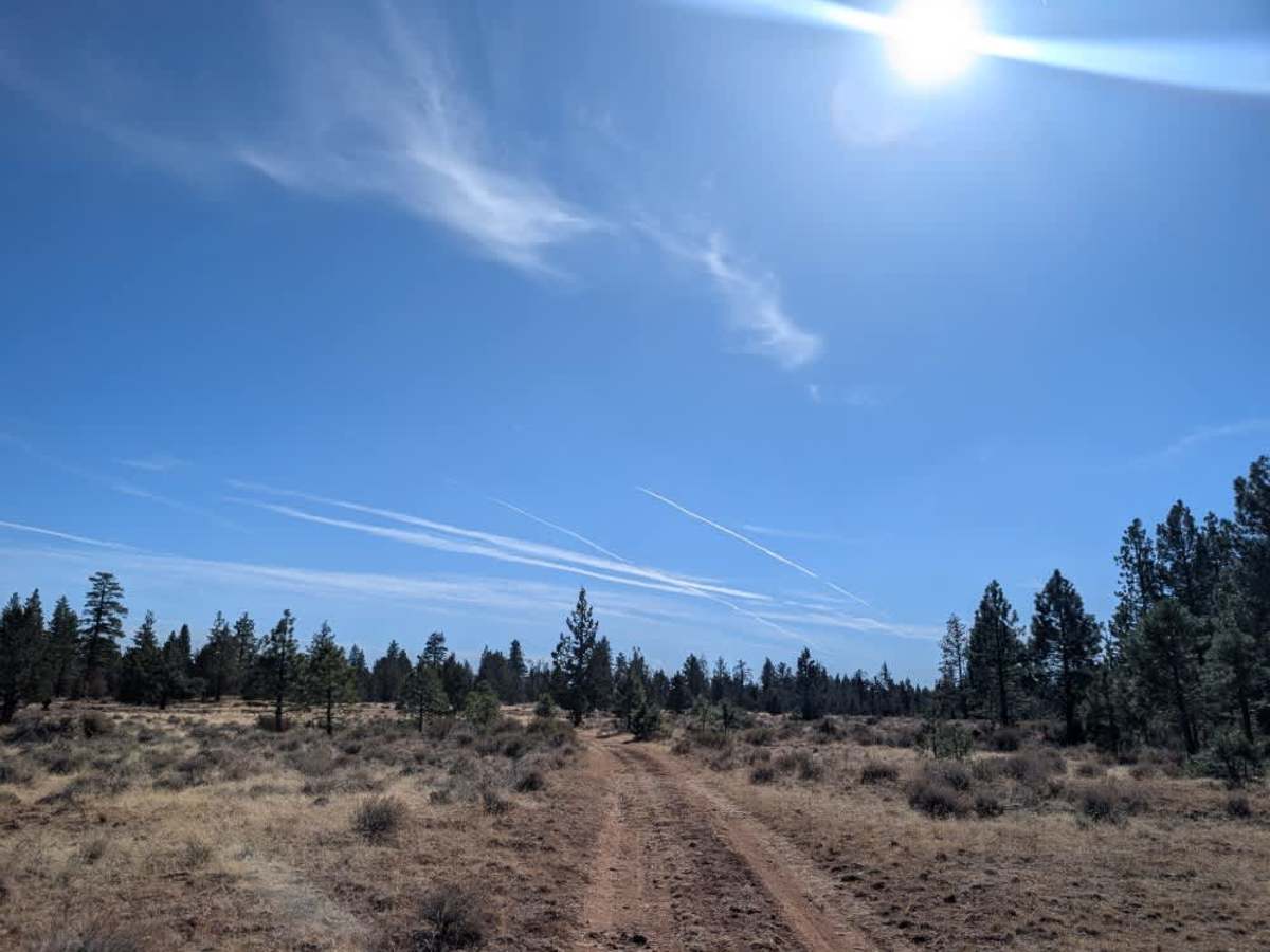
This trail follows a rough, rocky route with some sandy sections, though rock dominates the surface throughout. The road is quite uneven, with scattered debris and rocks that require careful navigation, making it better suited to ATVs and Side-by-Sides than standard motor vehicles. A closed gate sits roughly halfway along the route, presumably to manage cattle access. The trail is intended to continue toward Huffman Butte Tank, but the remaining road is now closed off and heavily overgrown, preventing vehicle access. Instead, the drivable portion ends at a large open area with plenty of room to turn around, and it may also be suitable for dispersed camping. The surrounding landscape is fairly open, with long sightlines across the area, making this a potentially appealing spot for hunters. Keep in mind that the rocky conditions and limited access make this a less suitable option for larger vehicles. ATVs, UTVs, Side-by-Sides, and Dirt Bikes must always have a valid California ATV Operating Permit sticker.

Photos of FS 46B29Z

Difficulty

The trail has a rough, predominantly rocky surface with scattered debris and uneven sections that require careful navigation.

Technical Rating

1

FS 46B29Z Trail can be accessed by the following ride types:

  • Single Track
  • 50 Inch
  • 60 Inch
  • High Clearance
  • Full Width

FS 46B29Z Map

The onX Offroad Difference

onX Offroad combines trail photos, descriptions, difficulty ratings, width restrictions, seasonality, and more in a user-friendly interface. Available on all devices, with offline access and full compatibility with CarPlay and Android Auto. Discover what you're missing today!

Open Trail Map