Trail Overview
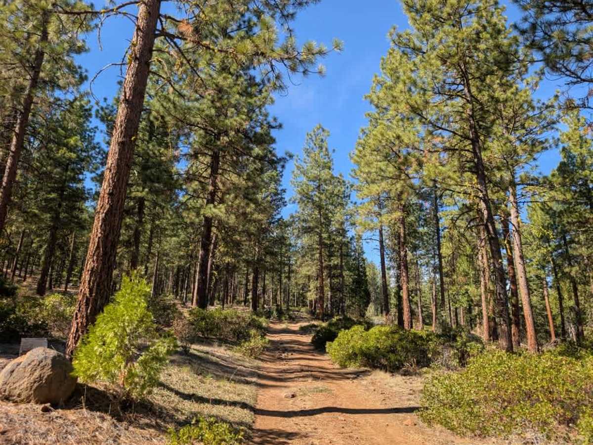
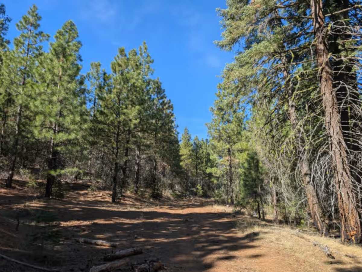
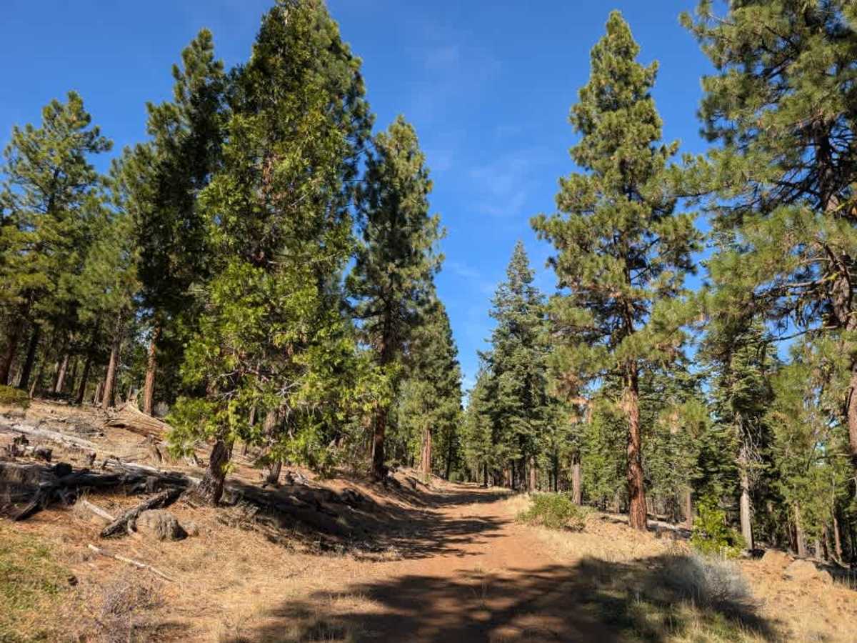
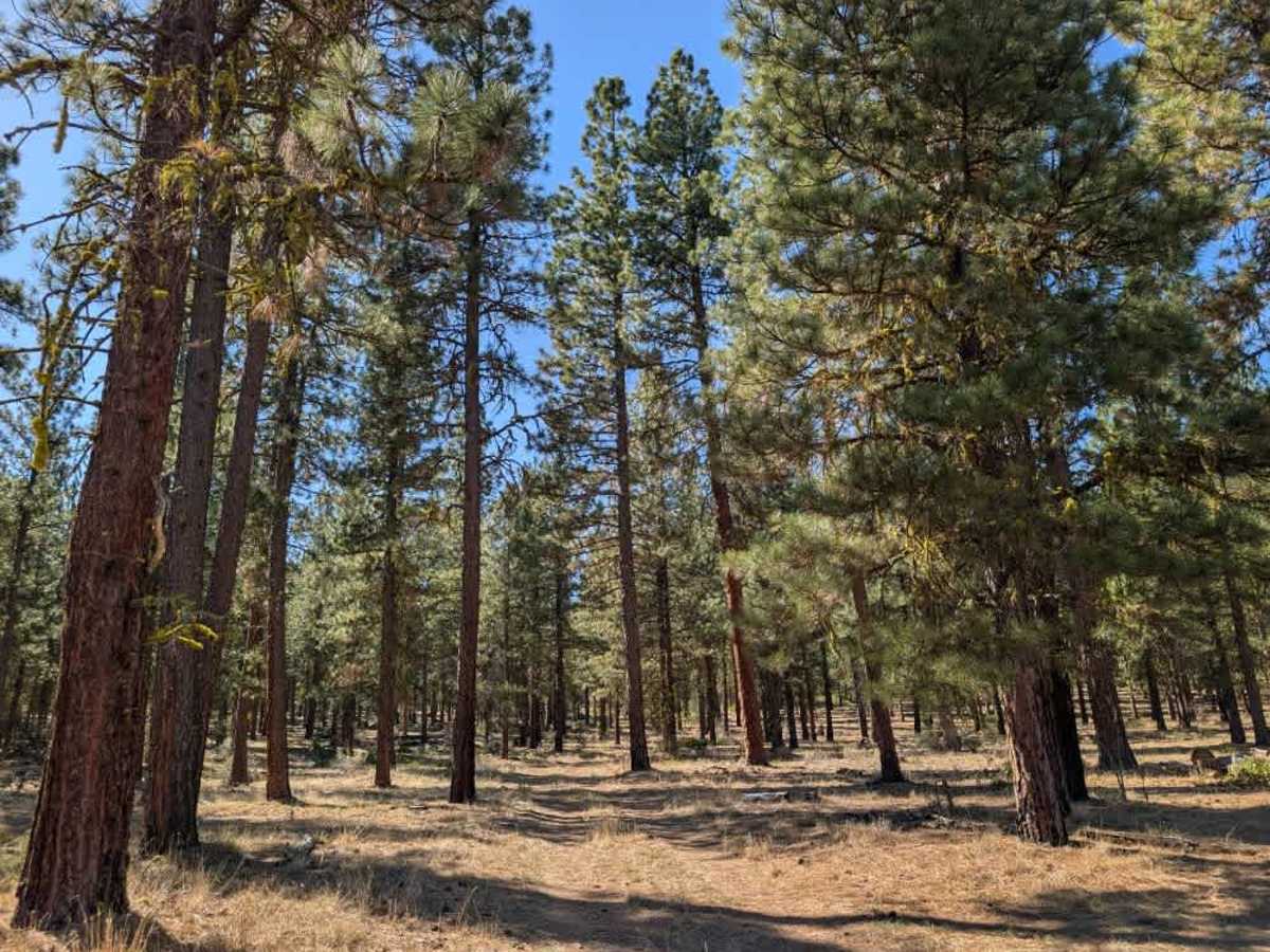
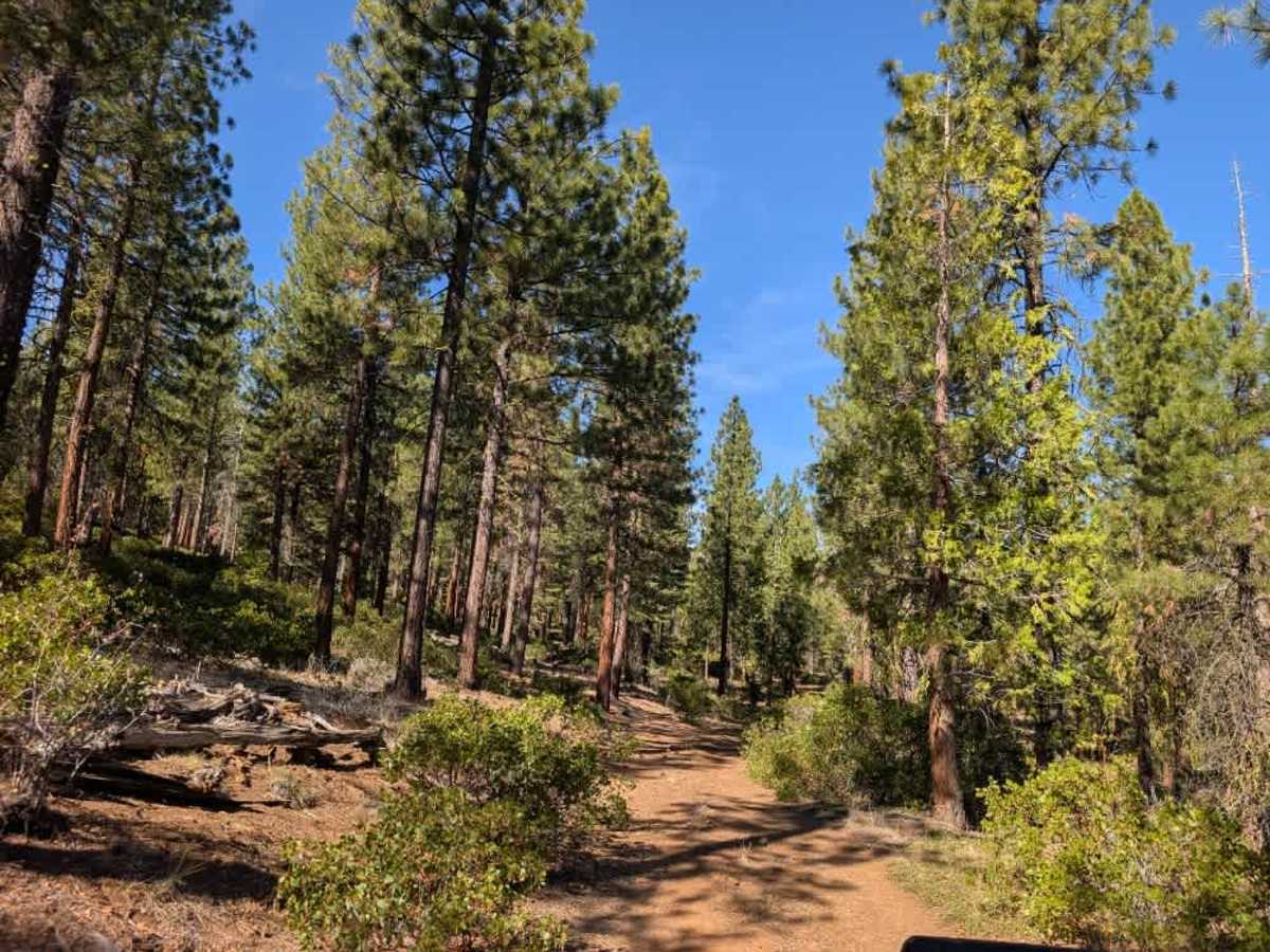
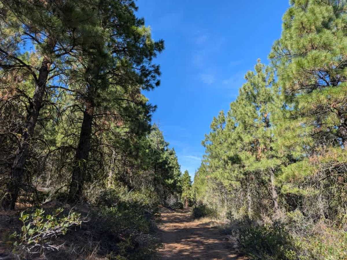
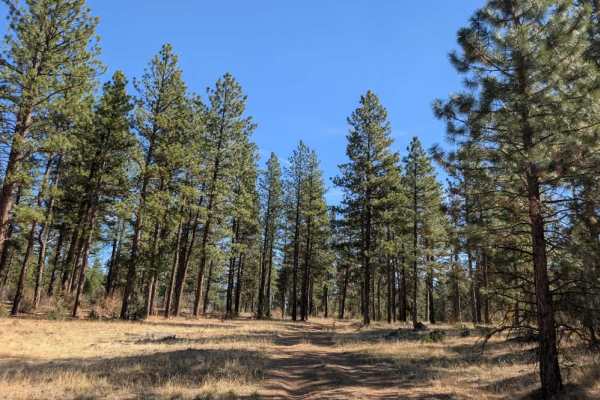
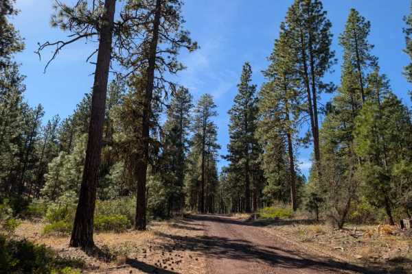
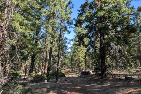
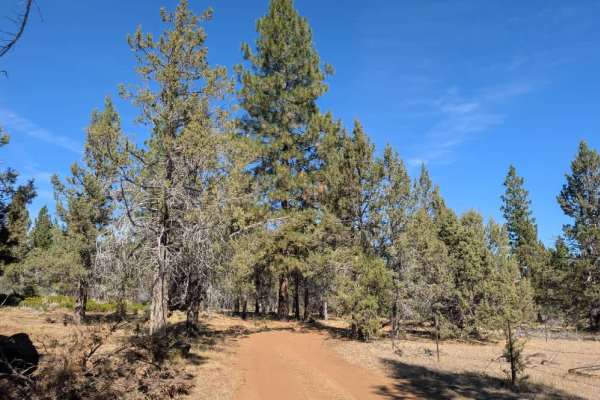
This route branches off the well-maintained FS 46N10 and cuts across to FS 46N08, which continues toward Blue Mountain Lookout. The trail starts out beautifully, winding through a shaded forest with a generally pleasant surface before becoming increasingly rocky as it climbs the hillside. While the terrain is passable, there are plenty of exposed rocks along this section, so expect a slower drive and take care as you pick your way through. The route is better suited to ATVs and Side-by-Sides, although wider vehicles can make it through with some careful maneuvering. There are a couple of places to pull off and turn around if needed, along with a large, beautiful dispersed campsite near the beginning of the trail on the eastern end. Once you reach FS 46N08, the surface becomes smoother again. With lovely forest surroundings and plenty of shade during the warmer months, this route is particularly enjoyable despite the rocky climb. ATVs, UTVs, Side-by-Sides, and Dirt Bikes must always have a valid California ATV Operating Permit sticker.