FS 46B29R

Total Miles0.7
Technical Rating
1Easy
Best TimeSpring, Summer, Fall
Trail TypeFull-Width Road
Accessible By
Open Trail Map

Trail Overview

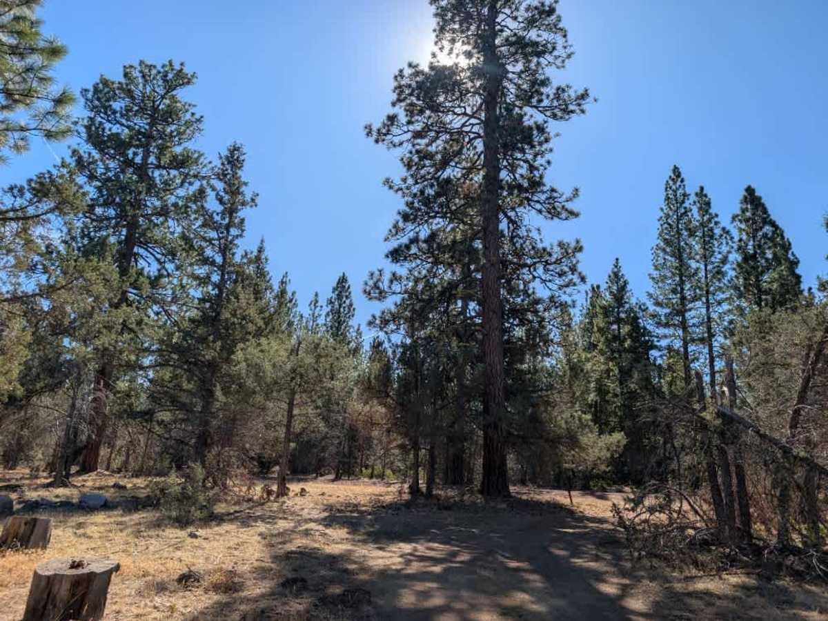
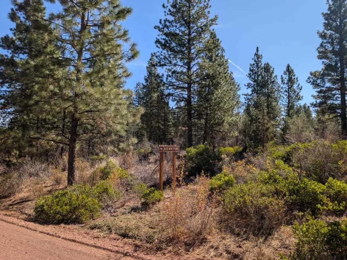
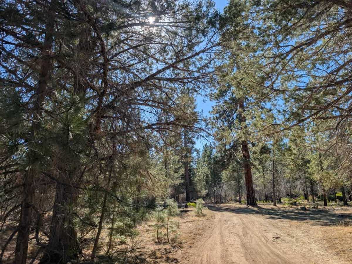
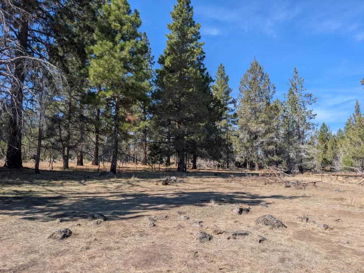
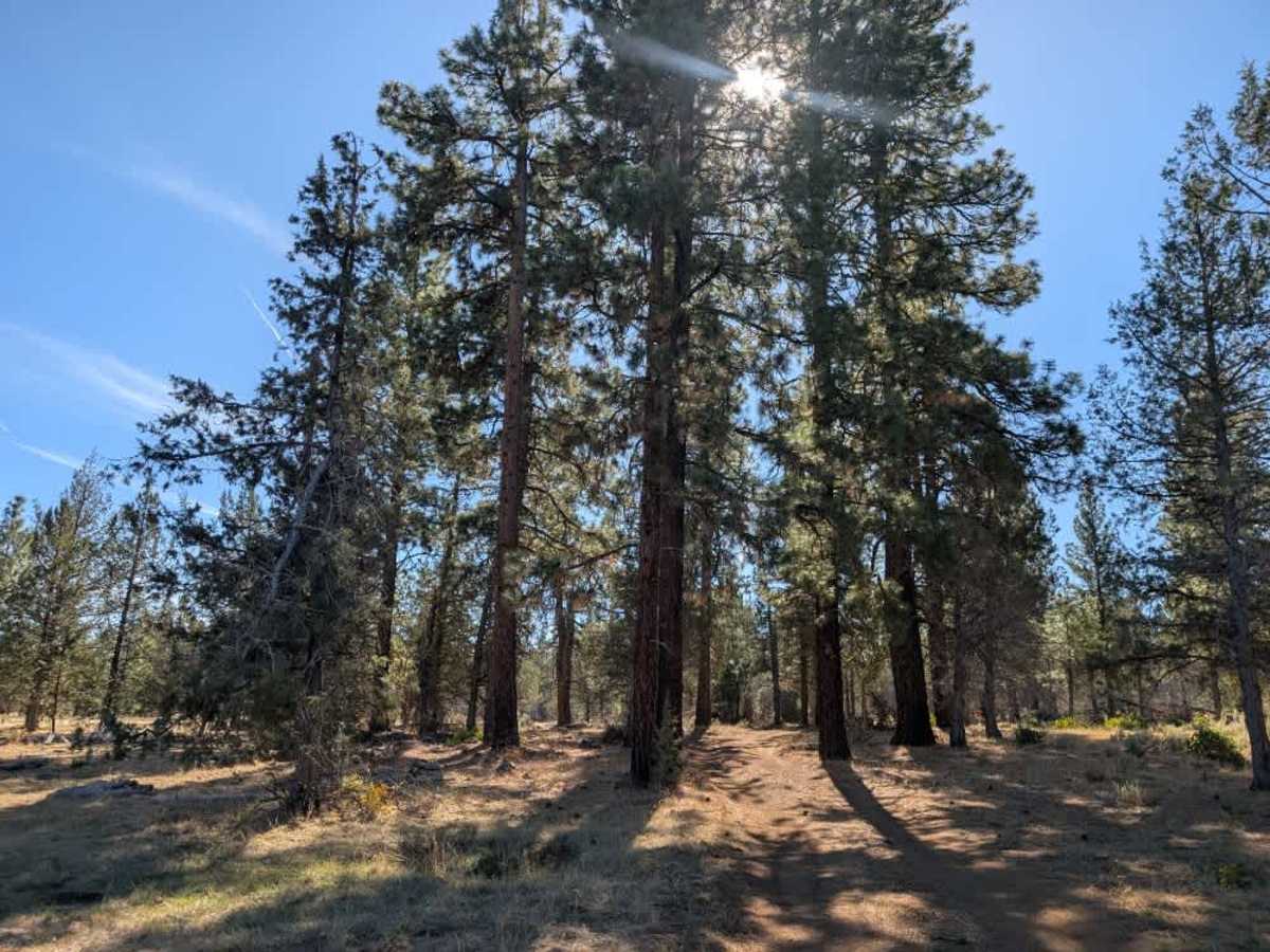
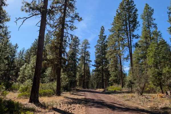
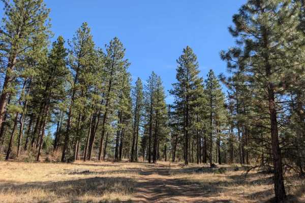
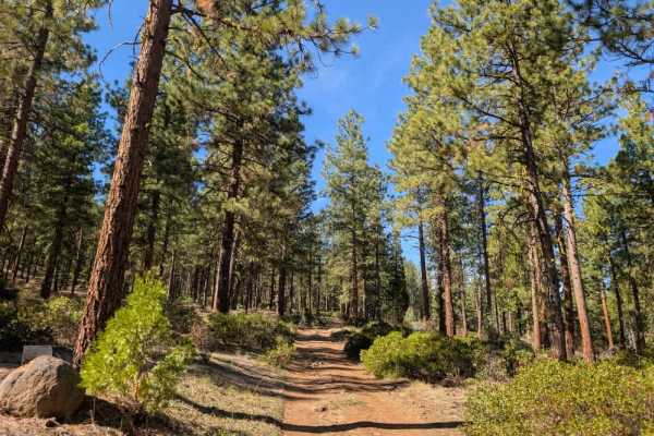
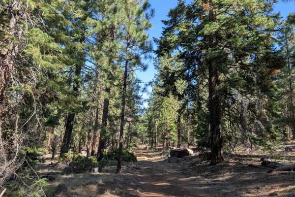
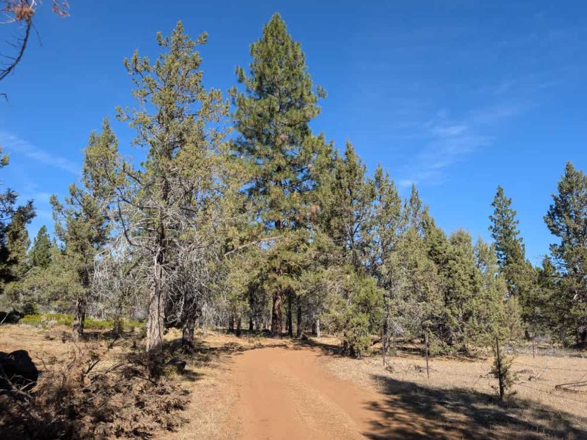
This route follows a mix of rocky terrain and reddish-brown sandy soil, leading toward the posted Blue Mountain Spring. There are ample dispersed camping opportunities throughout the surrounding area, making it a popular spot for hunters who want a convenient place to stay while exploring the nearby trails. There is also a spring that provides a watering hole. The open terrain and abundance of potential campsites make this a useful area for setting up camp, particularly during hunting season. However, a fence restricts further access along the road, and the drivable route ends here. Please respect the barrier and do not attempt to continue beyond the endpoint. ATVs, UTVs, Side-by-Sides, and Dirt Bikes must always have a valid California ATV Operating Permit sticker.

Photos of FS 46B29R

Difficulty

The route has a mix of rocky and sandy sections, with some uneven terrain that may require careful driving.

Technical Rating

1

FS 46B29R Trail can be accessed by the following ride types:

  • Single Track
  • 50 Inch
  • 60 Inch
  • High Clearance
  • Full Width

FS 46B29R Map

The onX Offroad Difference

onX Offroad combines trail photos, descriptions, difficulty ratings, width restrictions, seasonality, and more in a user-friendly interface. Available on all devices, with offline access and full compatibility with CarPlay and Android Auto. Discover what you're missing today!

Open Trail Map