Trail Overview
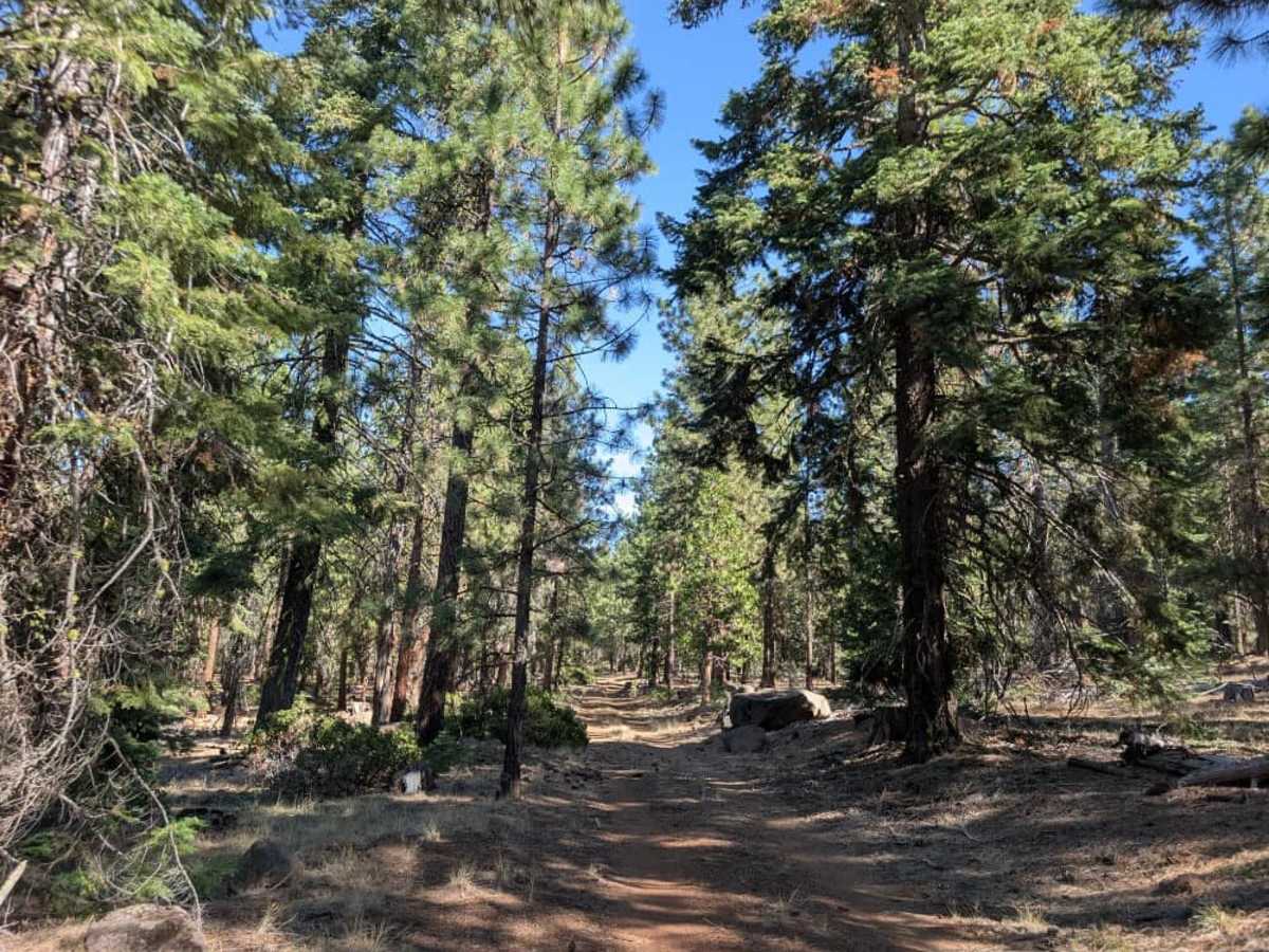
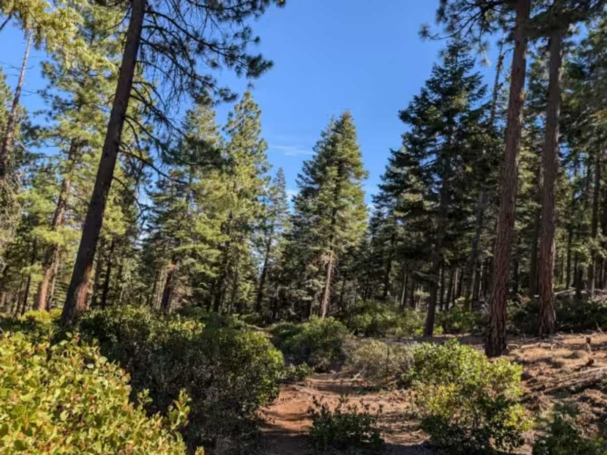
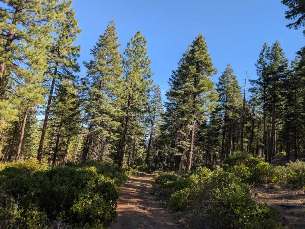
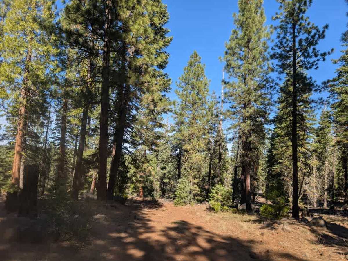
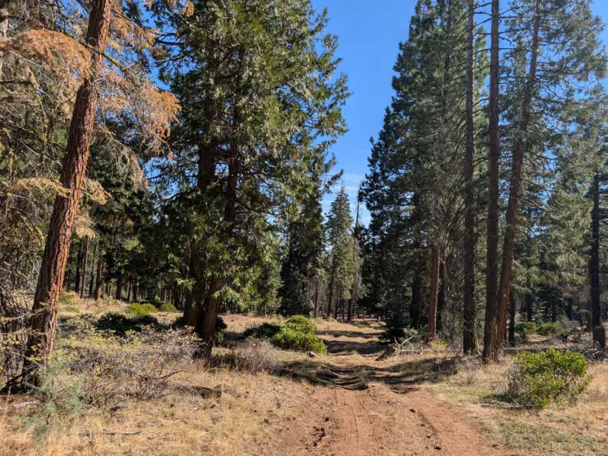
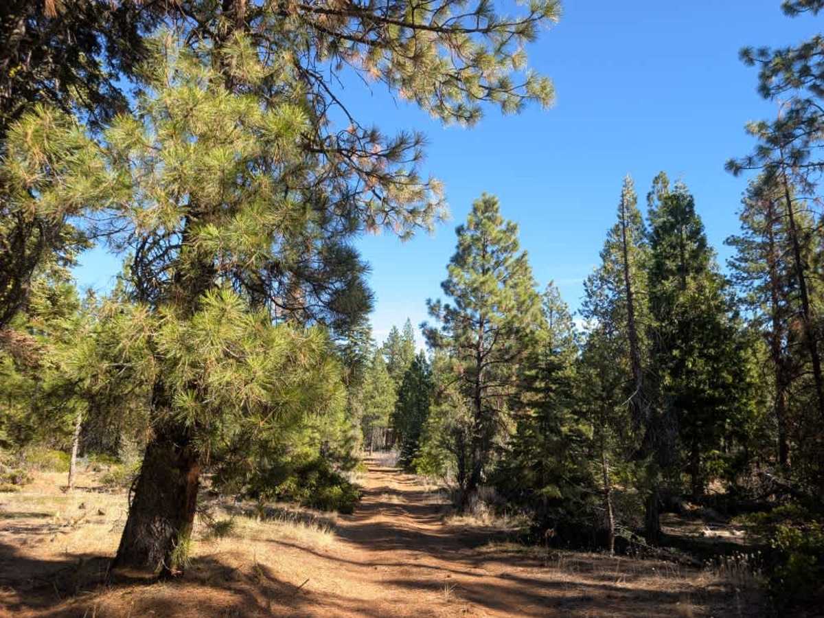
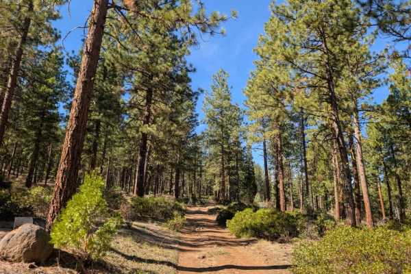
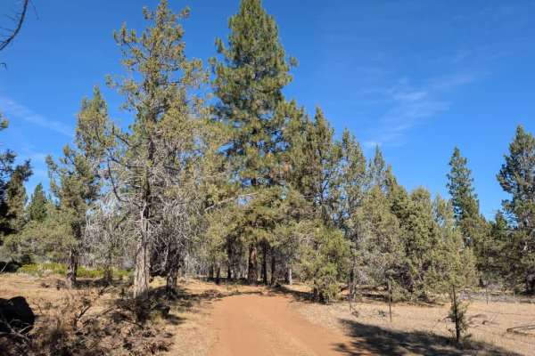
This route branches off just beyond Blue Mountain Lookout. The trail begins with light brown sand and plenty of exposed rocks as it climbs away from the lookout. Conditions vary along the way, with flatter plateau sections offering a welcome break from the rougher terrain, although occasional large rocks jut unexpectedly out of the surface. The route then descends through another series of rocky stretches, so take your time and watch your line carefully on both climbs and descents. As you continue toward the main road, the surface gradually changes to bright red soil with thick, silty sand. It’s a beautiful route through the surrounding landscape, but the frequent rocky outcrops make for a slower drive. High clearance and careful driving are recommended, particularly on the steeper sections. ATVs, UTVs, Side-by-Sides, and Dirt Bikes must always have a valid California ATV Operating Permit sticker.