Trail Overview
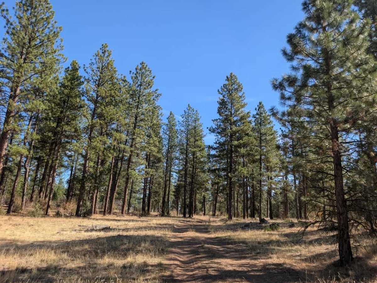
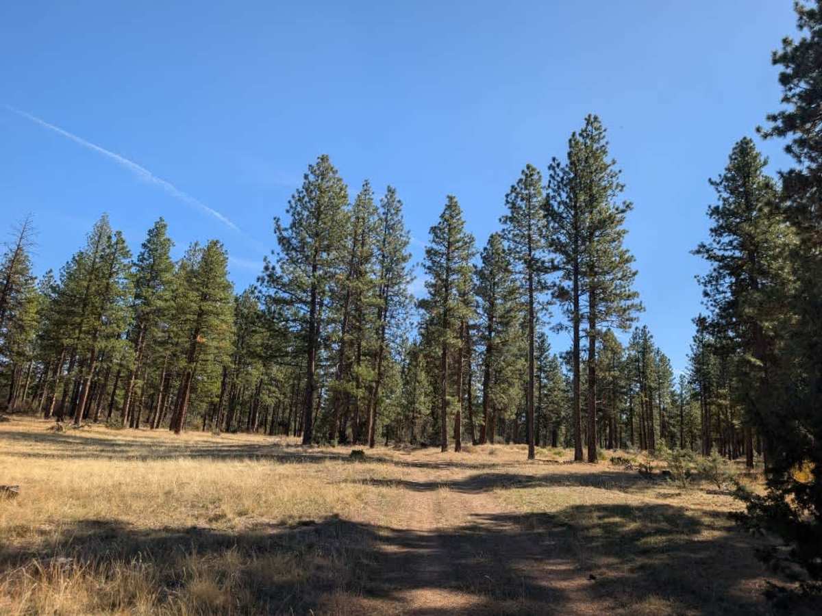
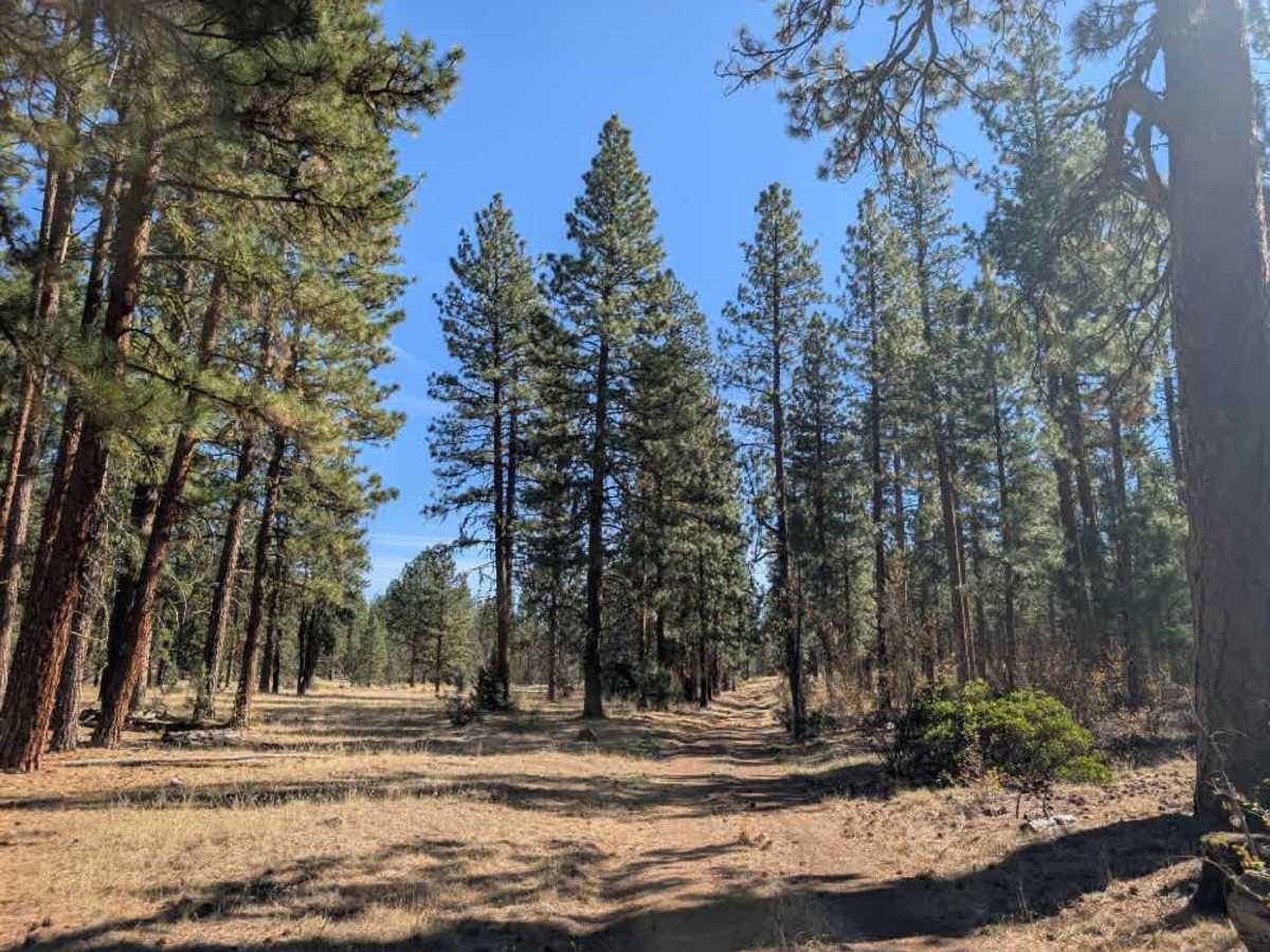
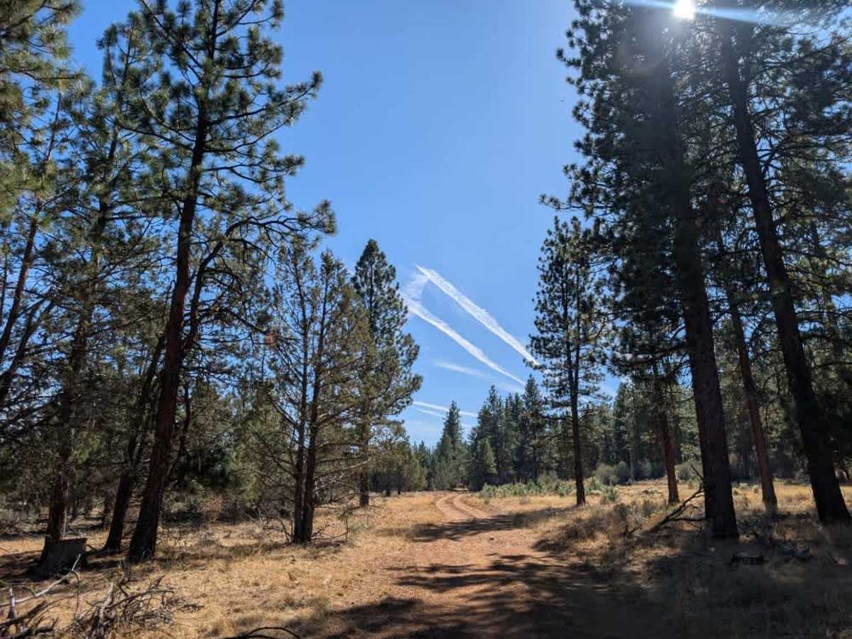
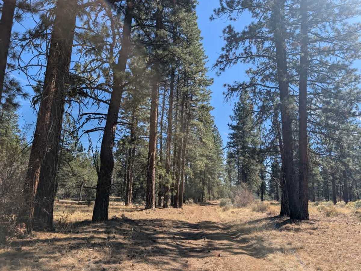
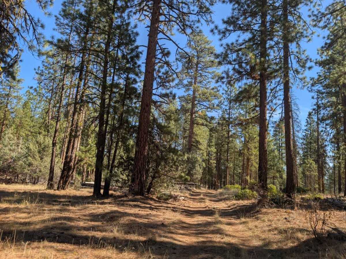
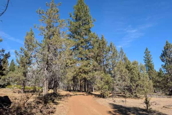
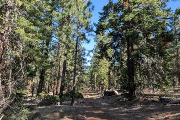
This route crosses state land and is generally well maintained, with much of the trail appearing to be cleared and cared for by regular users. Several fallen trees have been cut back or moved out of the way, keeping the route relatively open, although conditions are not perfectly smooth throughout. One section has a series of large earthen berms, or speed bumps, that are quite tall and may cause low-clearance vehicles, including standard sedans, to bottom out when crossing. Approaching from the southern end avoids these obstacles altogether, while the remainder of the route is fairly straightforward. There are ample dispersed camping opportunities along the way, with some tucked into the forest and others sitting in more open, exposed areas. The road is popular with hunters and continues toward the road that leads to Blue Mountain Lookout. With its pleasant forest surroundings and variety of camping options, this is a lovely route to explore. ATVs, UTVs, Side-by-Sides, and Dirt Bikes must always have a valid California ATV Operating Permit sticker.