Williams Valley - FS 45N18

Total Miles4.7
Technical Rating
4Moderate
Best TimeSpring, Summer, Fall
Trail TypeFull-Width Road
Accessible By
Open Trail Map

Trail Overview

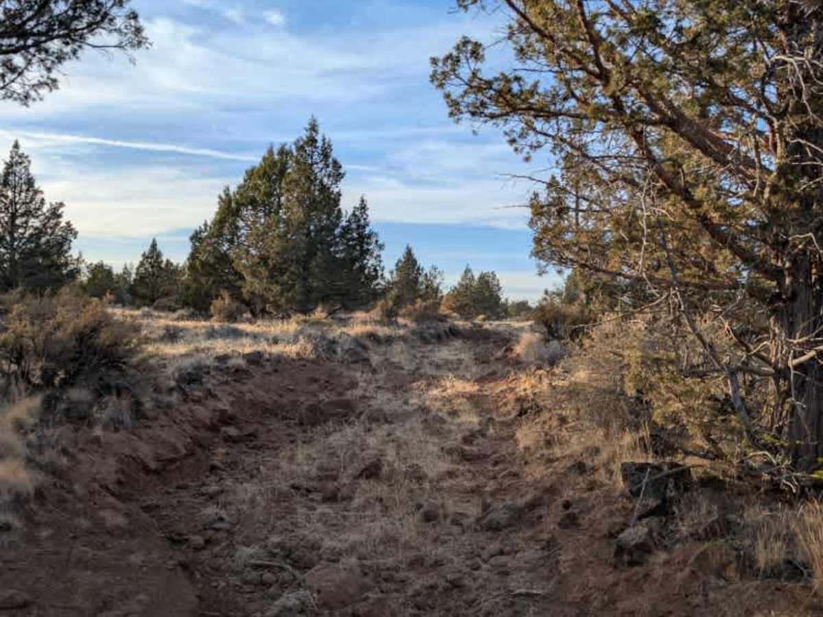
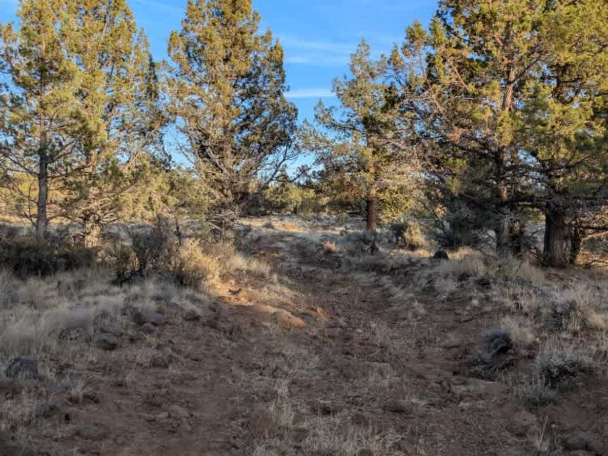
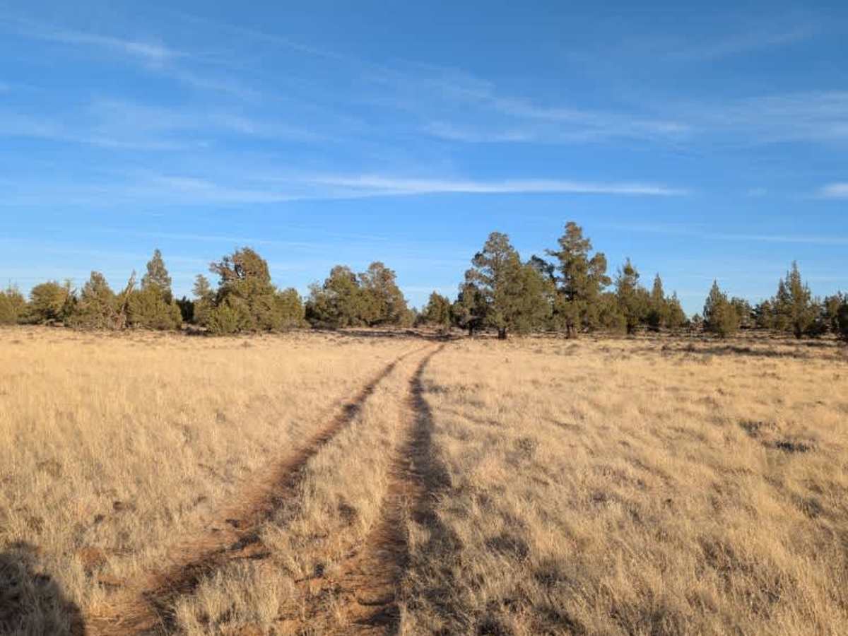
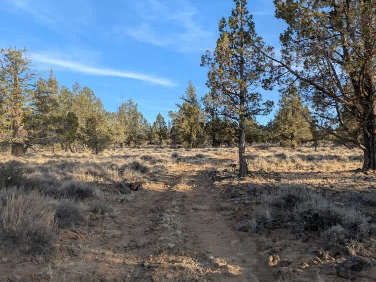
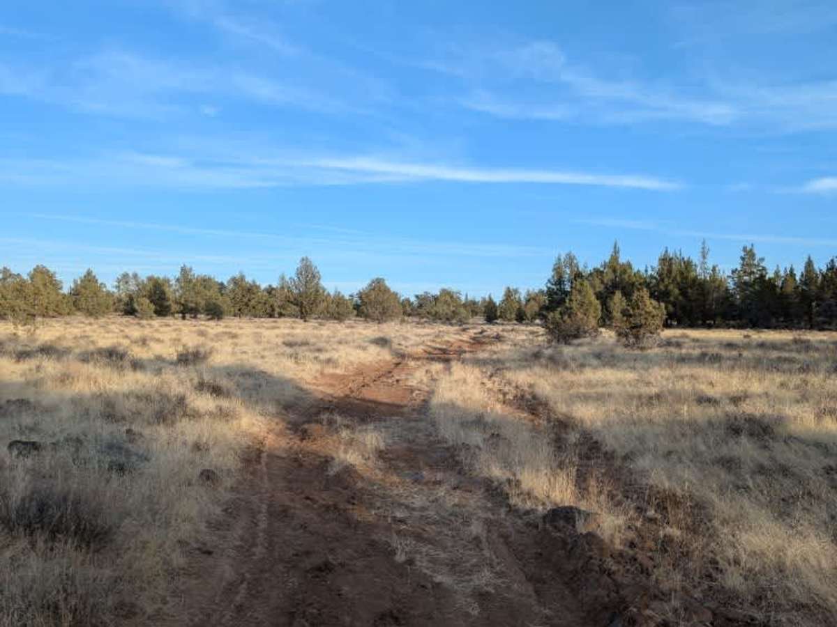
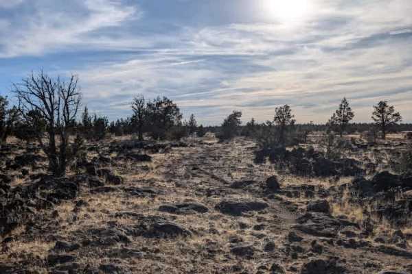
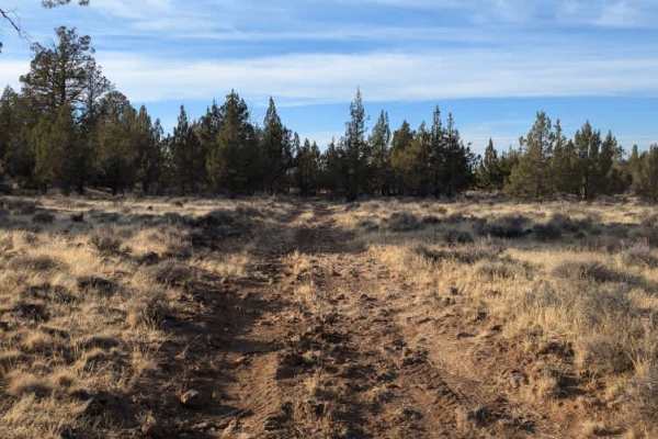
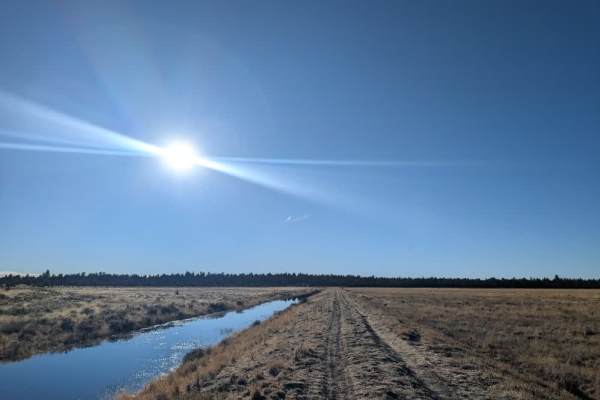
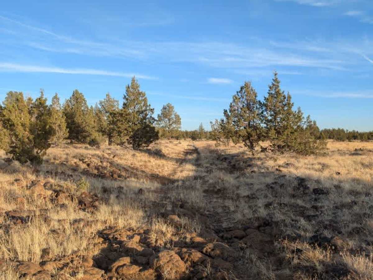
This route is consistently rocky, with large, loose stones scattered throughout, making high-clearance 4x4 vehicles the best option. ATVs can navigate the terrain, but lower-clearance vehicles may need to make wide detours around individual obstacles to avoid damaging their undercarriage. The route passes through several horse pastures and includes a closed fence before reaching the intersection with West Black Rock (FS 45N37), where another closed gate marks the entrance to an open clearing. A small reservoir or stock tank appears to provide water for nearby cattle. Beyond this area, a narrow, overgrown path continues toward a dry riverbed. Parts of this section are particularly narrow due to encroaching vegetation, which may restrict passage for wider vehicles. From there, the trail remains very rocky for an extended stretch, so take your time and choose your line carefully. ATVs, UTVs, Side-by-Sides, and Dirt Bikes must always have a valid California ATV Operating Permit sticker.

Photos of Williams Valley - FS 45N18

Difficulty

This is a challenging, consistently rocky route with large loose stones throughout, requiring high clearance and careful line selection to avoid undercarriage damage.

Technical Rating

4

Williams Valley - FS 45N18 Trail can be accessed by the following ride types:

  • Single Track
  • 50 Inch
  • 60 Inch
  • High Clearance
  • Full Width

Williams Valley - FS 45N18 Map

The onX Offroad Difference

onX Offroad combines trail photos, descriptions, difficulty ratings, width restrictions, seasonality, and more in a user-friendly interface. Available on all devices, with offline access and full compatibility with CarPlay and Android Auto. Discover what you're missing today!

Open Trail Map