
Beginner Off-Road Trails
Near Cade Lakes, Texas
Explore All Beginner Trails Near Cade Lakes, Texas
Beginner Off-Road Trails Near Cade Lakes, Texas
Discover the best beginner-friendly off-road trails near you. These easier, lower-rated trails are a great place to start — browse trail maps, check difficulty ratings, and find your next adventure.
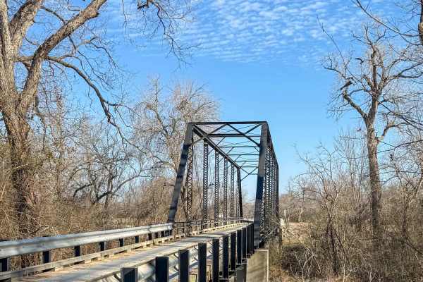
Worley Bridge Road
Worley Bridge Road is a scenic, easygoing dirt and gravel route that leads you across one of the few remaining historic bridges in Texas still open to vehicular traffic—the Historic Worley Bridge. Located on County Road 428, the trail crosses the San Gabriel River on this single-lane iron truss brid...
Learn more about Worley Bridge Road
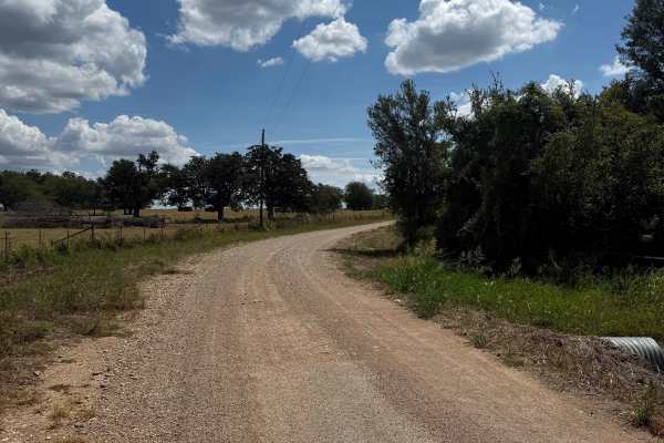
County Road 250 Loop
The route is mostly hard-packed dirt and gravel that is an easy drive for any type of vehicle and a driver who wants to enjoy the backcountry roads. There are several S-curves, but the road is wide enough to pass carefully. There is private property on both sides of the road. There are a few low wat...
Learn more about County Road 250 Loop
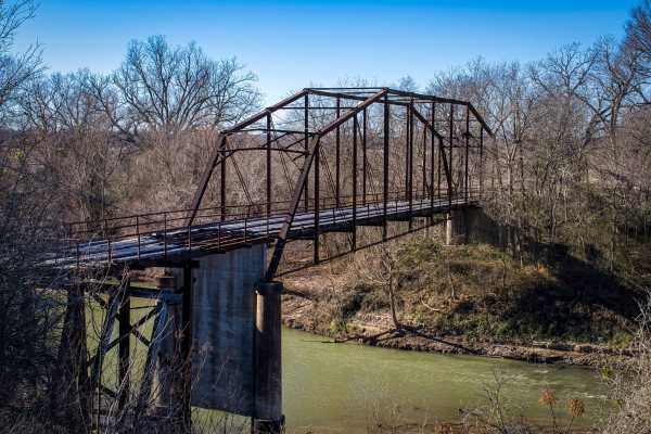
Old Bryant Station Bridge Road
Experience a piece of Texas engineering history on this scenic 10-mile trail near Buckholts, Texas. While the drive is not technically challenging, it offers a peaceful journey through the region's rural backroads, culminating in a view of the historic Old Bryant Station Bridge. This trail consists ...
Learn more about Old Bryant Station Bridge Road
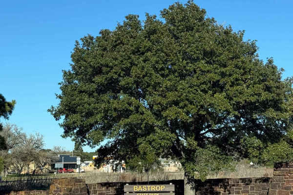
Bastrop State Park Backroads
This route will take you from the entrance of Bastrop State Park (entrance fee required), through a few county roads to Paige. Starting in Bastrop State Park, you can explore the park and take in the sights before heading onto the rest of the route. The beginning of the route in the park is pavement...
Learn more about Bastrop State Park Backroads
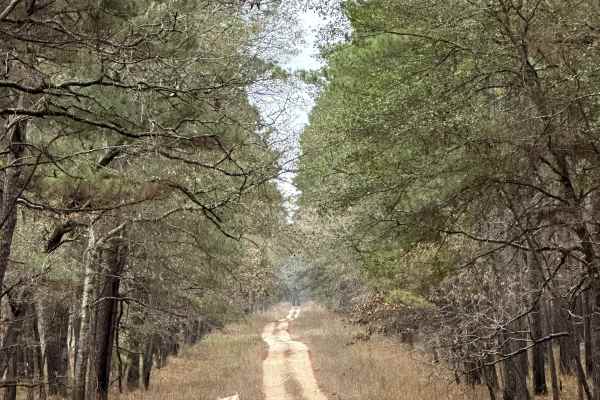
Perry Williams - FS 219A
Perry Williams (FS 219A) branches off Magnolia (FS 219) and follows a short Forest Service spur into a quieter wooded area of Sam Houston National Forest. The road surface is primarily dirt with occasional surface irregularities typical of lightly maintained forest spurs. This route provides limited...
Learn more about Perry Williams - FS 219A
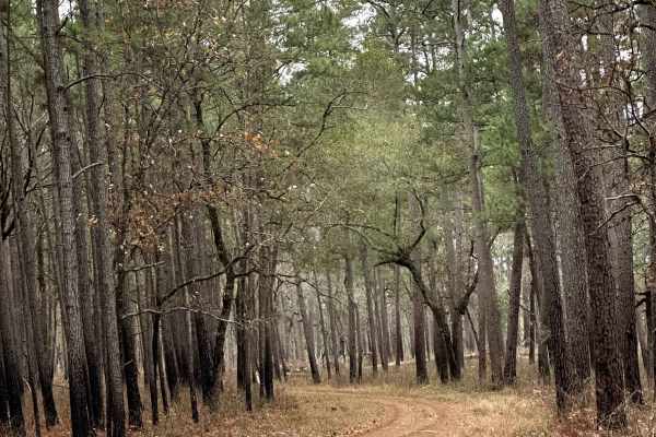
Pipe Specs - FS 219B
Pipe Specs (FS 219B) branches off Magnolia (FS 219) and follows a short Forest Service spur into a quieter interior section of Sam Houston National Forest. The road surface is primarily dirt with minor ruts and surface irregularities typical of limited-use spurs. A few existing clearings are located...
Learn more about Pipe Specs - FS 219B
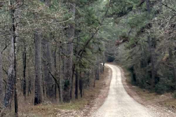
Magnolia - FS 219
Magnolia (FS 219) begins near Lone Star Hiking Trailhead #1 parking access and travels through a mixed wooded section of Sam Houston National Forest. At the start of the route, the road runs alongside private property boundaries, requiring drivers and campers to be mindful of posted signs and proper...
Learn more about Magnolia - FS 219
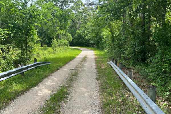
Caney Creek Crawl
This is an easy trail that consists of maintained dirt and gravel Forest Service roads. It starts off crossing Caney Creek and ends at the shores of Lake Conroe. This trail offers access to every activity the Sam Houston National Forest has to offer: equestrian trails, OHV trails (50-inch class) fis...
Learn more about Caney Creek Crawl
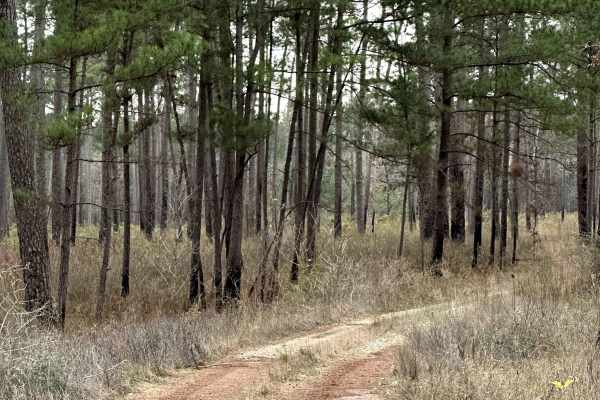
Sinclair Spur - FS 203A
Sinclair Spur (FS 203A) branches directly off Sinclair (FS 203) and follows a short, lightly traveled path into a quiet wooded section of Sam Houston National Forest. This small forest service spur is primarily dirt with minor surface irregularities typical of limited-use roads. A few existing clear...
Learn more about Sinclair Spur - FS 203A
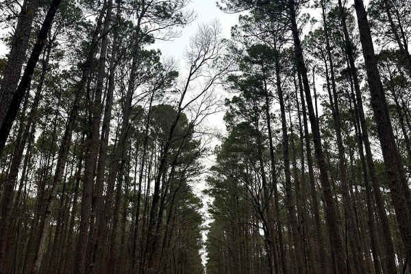
Sinclair - FS 203
Sinclair (FS 203) is a Forest Service road that travels through a mixed pine and hardwood section of Sam Houston National Forest. The surface is primarily dirt with intermittent gravel and uneven sections shaped by seasonal use and weather. This route intersects both the Little Lake Creek Loop Trail...
Learn more about Sinclair - FS 203
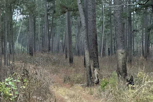
Bethel Spur - FS 211A
Bethel Spur (FS 211A) branches into a quiet wooded section of Sam Houston National Forest and functions as a short access spur rather than a through-route. The road surface is primarily dirt with minor ruts and surface irregularities typical of lightly maintained forest roads. Several existing clear...
Learn more about Bethel Spur - FS 211A
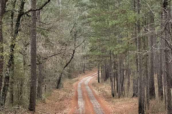
Midyett Road
Midyett Road is a short, lightly traveled forest road that runs through a wooded section of Sam Houston National Forest and terminates at a private property boundary. The road surface is primarily dirt with minor surface irregularities typical of limited-use access roads. A few minimal clearings are...
Learn more about Midyett Road
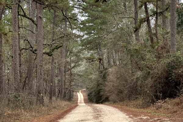
Lynch - FS 209A
Lynch (FS 209A) is a Forest Service route that runs through a mixed wooded section of Sam Houston National Forest before continuing out of the national forest boundary. The road surface is primarily dirt with intermittent gravel and uneven sections shaped by regular use and weather. Several clearing...
Learn more about Lynch - FS 209A
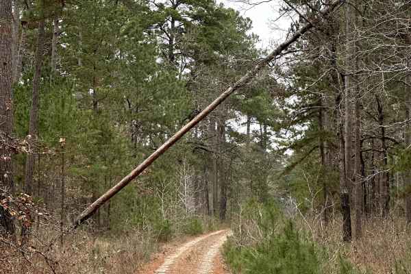
Hasan - FS 209B
Hasan (FS 209B) is a lightly traveled Forest Service spur that runs through a shaded section of Sam Houston National Forest and functions primarily as a recreational access route. The surface is mostly dirt with scattered gravel and minor surface irregularities typical of low-maintenance forest road...
Learn more about Hasan - FS 209B
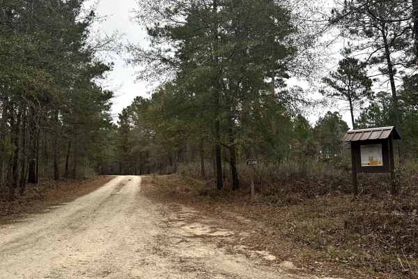
FS 208H
FS 208H is a short Forest Service spur that branches off into a quieter section of Sam Houston National Forest and serves primarily as access to surrounding recreation areas. The surface is mostly dirt with minor ruts and uneven sections typical of lightly maintained forest roads. This route provide...
Learn more about FS 208H
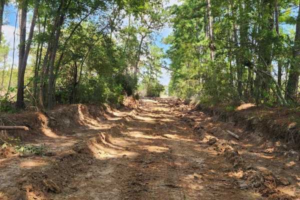
South Fence
The South Fence Trail is part of the park’s outer perimeter loop, running along the southern property line. This road offers a mix of open stretches and tree-lined curves, making it a popular route for both casual riders and those exploring deeper into the park.
In wet weather, the trail develops m...
Learn more about South Fence
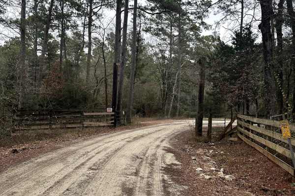
FS 239
FS 239 is a Forest Service road that travels through an actively managed section of Sam Houston National Forest. The surface is primarily dirt with intermittent gravel and uneven sections influenced by regular use and weather. One small clearing is located along the route, offering a limited option ...
Learn more about FS 239
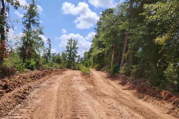
West Fence
West Fence is a 1-mile outer perimeter trail that runs along the western boundary of General Sam’s Offroad Park. The main route is wide and easy to navigate, making it ideal for beginner riders, cruisers, and support vehicles. The trail is maintained roughly once a month, weather permitting, to ensu...
Learn more about West Fence
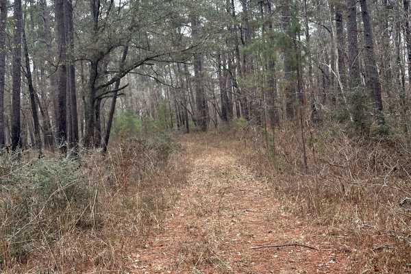
FS 208A
FS 208A begins at an intersection with the 820 multi-use trail and quickly narrows as it continues into a dense section of Sam Houston National Forest. This forest service track is primarily dirt and is characterized by tight corridors, frequent ruts, and uneven surfaces, making it more suited for l...
Learn more about FS 208A
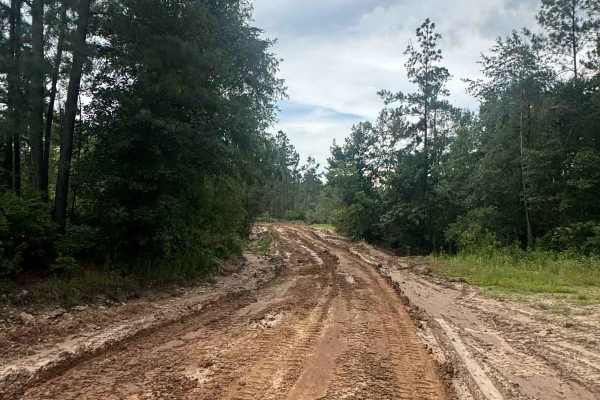
Generals Way - Main Camp Road 100
General's Way is the primary access route into the heart of General Sam's Offroad Park, guiding guests from the front entrance directly to Campground 5 at the center of the 750-acre park. This wide, easy-to-follow road is ideal for both campers hauling in and riders unloading up front who want a str...
Learn more about Generals Way - Main Camp Road 100
Beginner ATV trails near Cade Lakes, Texas
Explore ATV-friendly trails near you. These trails are accessible for vehicles up to 50 inches wide, perfect for ATVs and smaller off-road machines.
South Fence
The South Fence Trail is part of the park’s outer perimeter loop, running along the southern property line. This road offers a mix of open stretches and tree-lined curves, making it a popular route for both casual riders and those exploring deeper into the park.
In wet weather, the trail develops m...
Learn more about South Fence
West Fence
West Fence is a 1-mile outer perimeter trail that runs along the western boundary of General Sam’s Offroad Park. The main route is wide and easy to navigate, making it ideal for beginner riders, cruisers, and support vehicles. The trail is maintained roughly once a month, weather permitting, to ensu...
Learn more about West Fence
Generals Way - Main Camp Road 100
General's Way is the primary access route into the heart of General Sam's Offroad Park, guiding guests from the front entrance directly to Campground 5 at the center of the 750-acre park. This wide, easy-to-follow road is ideal for both campers hauling in and riders unloading up front who want a str...
Learn more about Generals Way - Main Camp Road 100
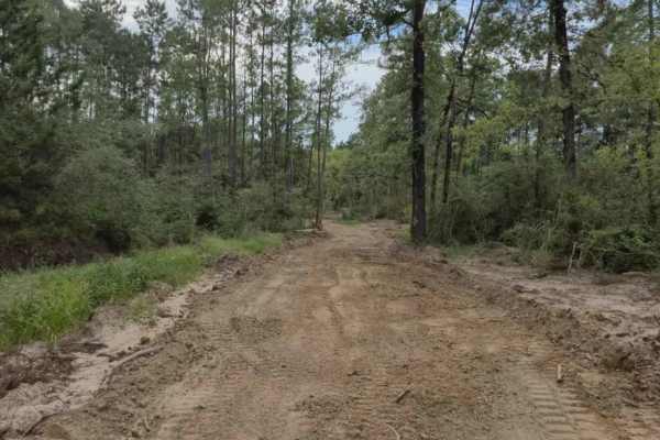
Main - CG 5 to South Fence
This is a primary access route that connects Campground 5 to the South Fence. The trail is maintained year-round and designed for quick travel across the park, making it a reliable route for riders heading toward the southern boundary.
Expect a generally smooth path, though sections can become mudd...
Learn more about Main - CG 5 to South Fence
Beginner UTV/side-by-side trails near Cade Lakes, Texas
Find UTV and side-by-side trails near you. These trails accommodate vehicles up to 60 inches wide, ideal for UTVs, side-by-sides, and wider off-road rigs.
South Fence
The South Fence Trail is part of the park’s outer perimeter loop, running along the southern property line. This road offers a mix of open stretches and tree-lined curves, making it a popular route for both casual riders and those exploring deeper into the park.
In wet weather, the trail develops m...
Learn more about South Fence
West Fence
West Fence is a 1-mile outer perimeter trail that runs along the western boundary of General Sam’s Offroad Park. The main route is wide and easy to navigate, making it ideal for beginner riders, cruisers, and support vehicles. The trail is maintained roughly once a month, weather permitting, to ensu...
Learn more about West Fence
Generals Way - Main Camp Road 100
General's Way is the primary access route into the heart of General Sam's Offroad Park, guiding guests from the front entrance directly to Campground 5 at the center of the 750-acre park. This wide, easy-to-follow road is ideal for both campers hauling in and riders unloading up front who want a str...
Learn more about Generals Way - Main Camp Road 100
Main - CG 5 to South Fence
This is a primary access route that connects Campground 5 to the South Fence. The trail is maintained year-round and designed for quick travel across the park, making it a reliable route for riders heading toward the southern boundary.
Expect a generally smooth path, though sections can become mudd...
Learn more about Main - CG 5 to South Fence
The onX Offroad Difference
onX Offroad combines trail photos, descriptions, difficulty ratings, width restrictions, seasonality, and more in a user-friendly interface. Available on all devices, with offline access and full compatibility with CarPlay and Android Auto. Discover what you're missing today!
Open Trail Map