
Beginner Off-Road Trails
Near Bellemont, Arizona
Explore All Beginner Trails Near Bellemont, Arizona
Beginner Off-Road Trails Near Bellemont, Arizona
Discover the best beginner-friendly off-road trails near you. These easier, lower-rated trails are a great place to start — browse trail maps, check difficulty ratings, and find your next adventure.
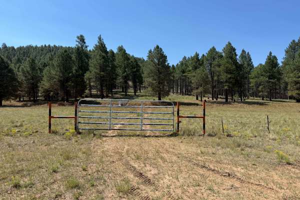
Gas Line Trail
Few to no obstacles on this long single track, except the occasional large bump or football-sized piece of volcanic rock. This road intersects with several forest roads, so be careful of cross traffic. The trail dead ends at a gas pipeline processing facility that is private property. There are a fe...
Learn more about Gas Line Trail

Wind Mountain Trail #410
During the winter this road is used for snow activities, such as snowmobile. This road does have spotty cell phone service and has access to other roads around it. There is no camping or campfires on this road, but you do see people doing it anyways. The road is not winter maintained.
Learn more about Wind Mountain Trail #410
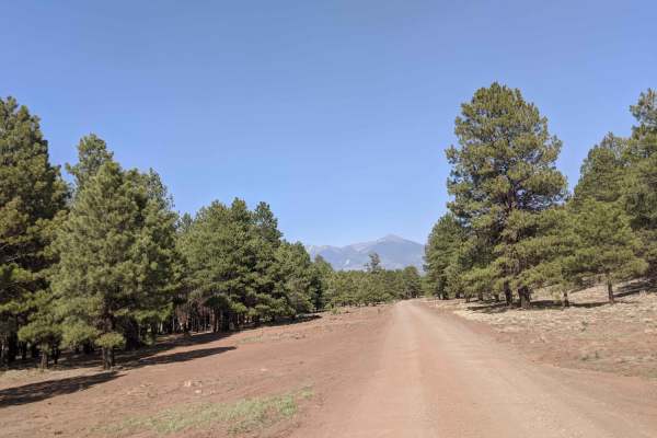
Wing Mountain Road
Road is not winter maintained, and during the winter is used for snow activities such as snowmobile. This road does have spotty cell phone service and has access to other roads around it. There is no camping or campfires on this road unless in a dispersed area. There is a shooting pit on this road, ...
Learn more about Wing Mountain Road
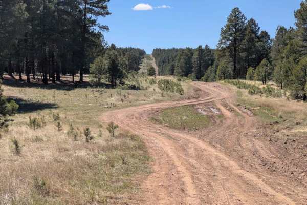
FS 518C Cutoff
FS 518C Cutoff is a short but rugged connector trail between FS518 and FS9014K, offering a scenic yet challenging path through the pine forest alongside a beautiful open meadow. Though it's a brief route, it packs a surprising amount of technical terrain. The trail surface is a mix of mud, dirt, and...
Learn more about FS 518C Cutoff
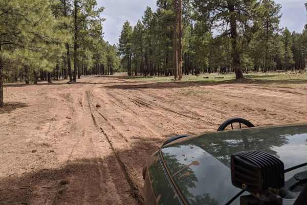
Compression Station Road
Compression Station Road is an ideal route for drivers seeking a scenic dirt track through the Coconino National Forest with plenty of opportunities for dispersed camping and side-trail exploration. Branching off Forest Road 160 near Walker Hill, this route features a primarily dirt and gravel surfa...
Learn more about Compression Station Road
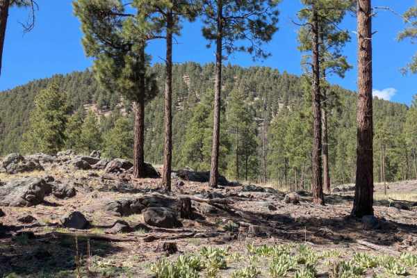
FS 9011K Cutoff
FS 9011K Cutoff is a short, easy cutoff trail linking A1 Mountain Summit Road with FS 518. The route travels through a beautiful pine forest, offering a peaceful drive surrounded by towering trees and fresh forest air. Recently graded and maintained, the trail features a mostly smooth surface, thoug...
Learn more about FS 9011K Cutoff
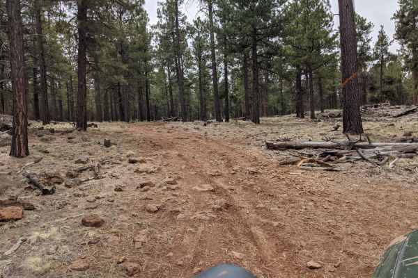
Road 9004M
Road 9004M offers a peaceful drive through dense ponderosa pine forests and expansive high-country pastures, making it an excellent route for beginners or those looking for a relaxed backcountry adventure. Spanning approximately 5.0 miles, this lightly traveled doubletrack winds through the scenic t...
Learn more about Road 9004M
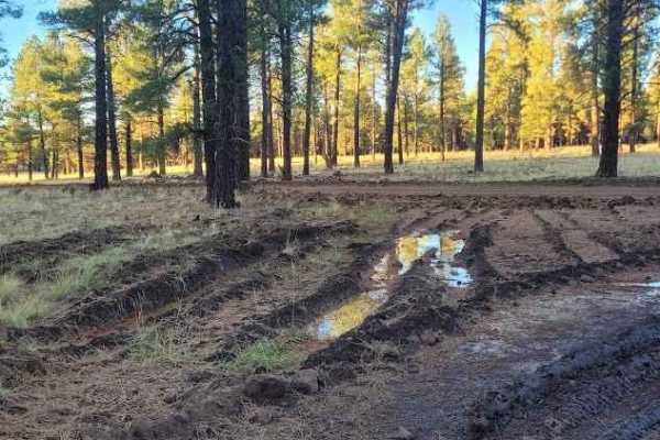
Walker Hill Trail
This is an easy and scenic forest service road that circles Walker Hill. There are plenty of opportunities to see wildlife and lots of off-shoot trails to explore. This is not too far from I-40 but cell service is pretty spotty. Overall, it's a fun easy trail that can be navigated by a vehicle with ...
Learn more about Walker Hill Trail
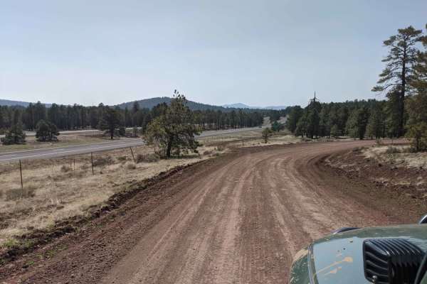
00518 Road
00518 Road is a 7.2-mile offroad route near Bellemont and Flagstaff, Arizona, perfect for beginners and scenic cruisers looking for a quick escape into the Coconino National Forest. Winding through dense ponderosa pines, this easy dirt road features minimal elevation change, starting at 7,283 feet a...
Learn more about 00518 Road
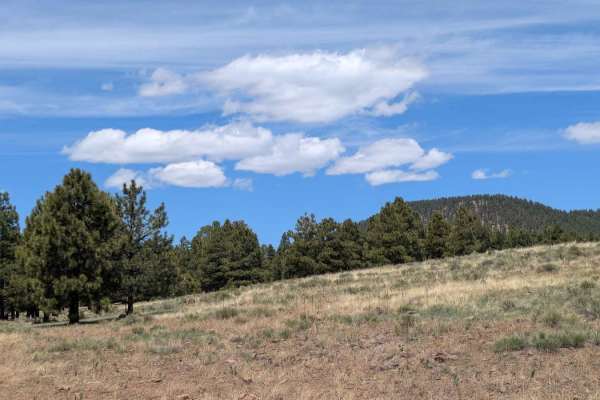
A1 Mountain Road - FS 506
A1 Mountain Road - FS 506 offers a relaxing cruise through the heart of the Coconino National Forest. Recently graded, this scenic dirt road winds through a dense pine forest with cool shade and peaceful surroundings. The trail provides sweeping views of distant mountain ranges along the way, especi...
Learn more about A1 Mountain Road - FS 506
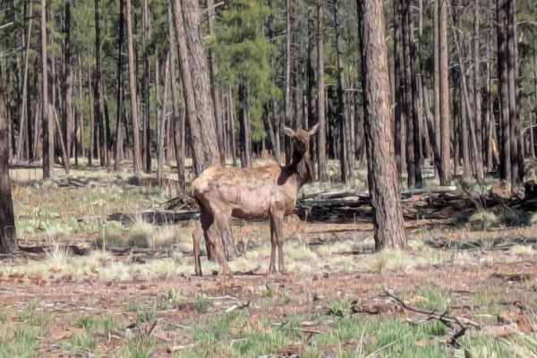
FS 9018J
FS 9018J winds through a serene pine forest and is a trail marked by both recent maintenance and natural obstacles. The north section has been recently graded, providing smoother terrain, though the trail can still get muddy, especially after wet weather. Wildlife sightings, including elk, are commo...
Learn more about FS 9018J
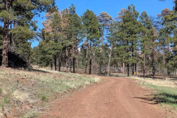
A1 Mountain Road Loop - FS 918B
A1 Mountain Loop is a recently graded dirt trail that winds gently alongside A1 Mountain, offering a peaceful drive through a tall pine forest. This trail starts and ends on FS 506, making it a convenient loop for those exploring the area. The trail surface is mostly dirt, which can become muddy and...
Learn more about A1 Mountain Road Loop - FS 918B
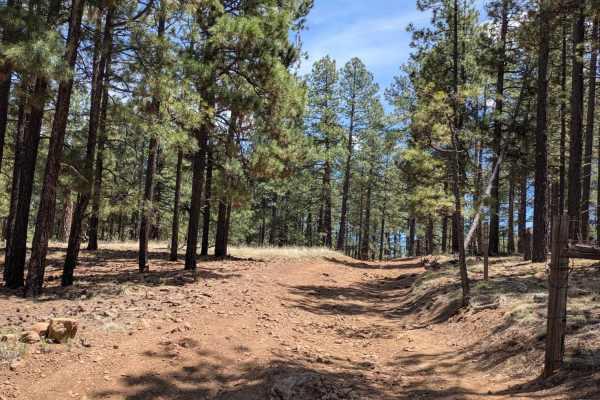
FS 689D
It is a scenic mountain trail that winds through a dense forest of tall pine trees, offering a peaceful escape and a steady climb with excellent visibility of the surrounding landscape. The route follows a winding dirt road that climbs nearly 400 feet, gradually opening up to distant mountain views ...
Learn more about FS 689D
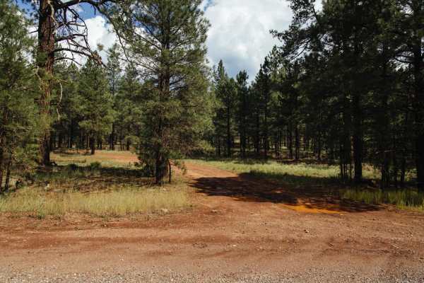
Spring Hill
The Spring Hill Trail is a rocky and rough trail that features downed trees, tight corners between trees, and a rocky hillclimb. The whole trail is shaded due to weaving between the dense trees in this area. There is a spring, and a small section of route-finding, as the overgrowth and rocky terrain...
Learn more about Spring Hill
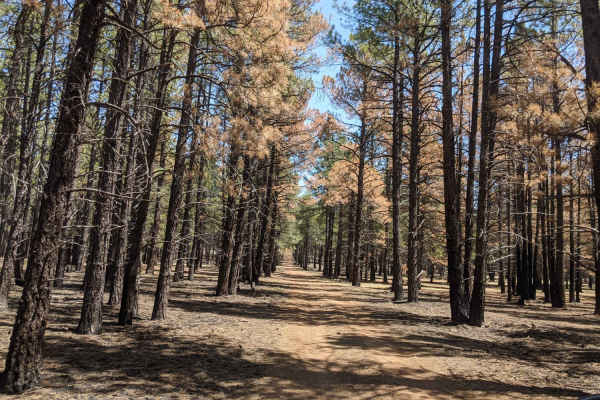
FS 9004K
FS 9004K, also known as Burned Road, offers offroaders a scenic yet stark drive through a recently burned section of the Coconino National Forest northwest of Flagstaff. Spanning approximately 3.9 miles, this route climbs gently from 7,634 feet to 8,038 feet, providing a straightforward adventure fo...
Learn more about FS 9004K
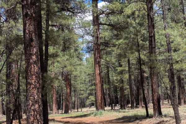
Lost Pines Cutoff FS 6149
Lost Pines Cutoff is a short but challenging trail in the Coconino National Forest, just off Highway 180. Winding through a peaceful pine forest, this route offers a taste of rugged terrain within a limited stretch, making it a quick but memorable outing for off-roaders. It leads to other trails. Th...
Learn more about Lost Pines Cutoff FS 6149
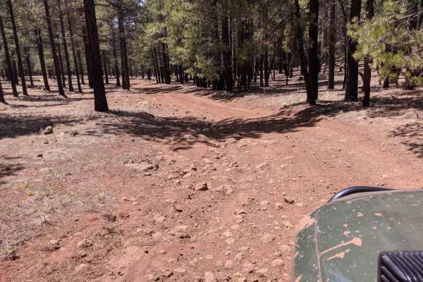
9008L Road
9008L Road is an easy, scenic 3.1-mile dirt track near Flagstaff, Arizona, perfect for beginners and those looking for a quick getaway into the Coconino National Forest. Connecting the Wild Bill-Kendrick area on the west near Wild Bill Tank to FS-247 on the east, this route offers a relaxed driving ...
Learn more about 9008L Road
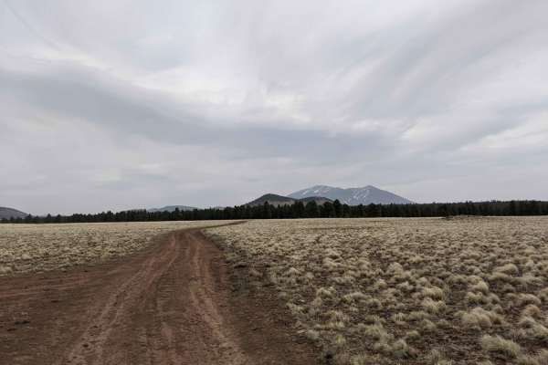
Blue Tree Road
Blue Tree Road offers offroaders an easy, scenic escape through the expansive grasslands and towering ponderosa pine forests northwest of Flagstaff. Perfect for beginners and those seeking a relaxed drive, this roughly four-mile dirt trail winds around the northern base of Wild Bill Hill, providing ...
Learn more about Blue Tree Road
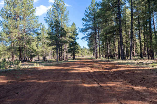
FS 526B
This trail starts on the north end as a fairly smooth dirt road, though some ruts and washouts from rain can create minor uneven sections. The route passes through a stunning open meadow before becoming slightly rockier toward the middle, where larger washouts add a bit more challenge. Overall, it r...
Learn more about FS 526B
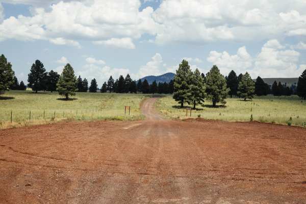
107 Road
The 107 Road is wide and beautiful, with an open prairie to the South and a forest of towering Ponderosa Pines to the North. There are plenty of places to pass, stop, and turn around on this road, as it serves as an access road to the area for hunters, recreationists, or just people looking to get o...
Learn more about 107 Road
Beginner ATV trails near Bellemont, Arizona
Explore ATV-friendly trails near you. These trails are accessible for vehicles up to 50 inches wide, perfect for ATVs and smaller off-road machines.
Gas Line Trail
Few to no obstacles on this long single track, except the occasional large bump or football-sized piece of volcanic rock. This road intersects with several forest roads, so be careful of cross traffic. The trail dead ends at a gas pipeline processing facility that is private property. There are a fe...
Learn more about Gas Line Trail
Wind Mountain Trail #410
During the winter this road is used for snow activities, such as snowmobile. This road does have spotty cell phone service and has access to other roads around it. There is no camping or campfires on this road, but you do see people doing it anyways. The road is not winter maintained.
Learn more about Wind Mountain Trail #410
Wing Mountain Road
Road is not winter maintained, and during the winter is used for snow activities such as snowmobile. This road does have spotty cell phone service and has access to other roads around it. There is no camping or campfires on this road unless in a dispersed area. There is a shooting pit on this road, ...
Learn more about Wing Mountain Road
Compression Station Road
Compression Station Road is an ideal route for drivers seeking a scenic dirt track through the Coconino National Forest with plenty of opportunities for dispersed camping and side-trail exploration. Branching off Forest Road 160 near Walker Hill, this route features a primarily dirt and gravel surfa...
Learn more about Compression Station Road
Beginner UTV/side-by-side trails near Bellemont, Arizona
Find UTV and side-by-side trails near you. These trails accommodate vehicles up to 60 inches wide, ideal for UTVs, side-by-sides, and wider off-road rigs.
Gas Line Trail
Few to no obstacles on this long single track, except the occasional large bump or football-sized piece of volcanic rock. This road intersects with several forest roads, so be careful of cross traffic. The trail dead ends at a gas pipeline processing facility that is private property. There are a fe...
Learn more about Gas Line Trail
Wind Mountain Trail #410
During the winter this road is used for snow activities, such as snowmobile. This road does have spotty cell phone service and has access to other roads around it. There is no camping or campfires on this road, but you do see people doing it anyways. The road is not winter maintained.
Learn more about Wind Mountain Trail #410
Wing Mountain Road
Road is not winter maintained, and during the winter is used for snow activities such as snowmobile. This road does have spotty cell phone service and has access to other roads around it. There is no camping or campfires on this road unless in a dispersed area. There is a shooting pit on this road, ...
Learn more about Wing Mountain Road
Compression Station Road
Compression Station Road is an ideal route for drivers seeking a scenic dirt track through the Coconino National Forest with plenty of opportunities for dispersed camping and side-trail exploration. Branching off Forest Road 160 near Walker Hill, this route features a primarily dirt and gravel surfa...
Learn more about Compression Station Road
The onX Offroad Difference
onX Offroad combines trail photos, descriptions, difficulty ratings, width restrictions, seasonality, and more in a user-friendly interface. Available on all devices, with offline access and full compatibility with CarPlay and Android Auto. Discover what you're missing today!
Open Trail Map