Plains Muley
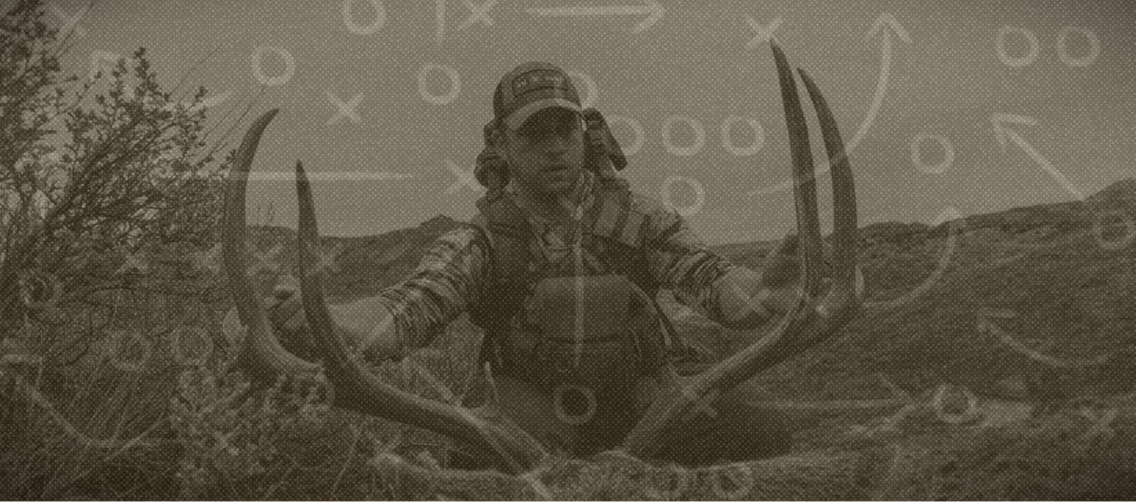
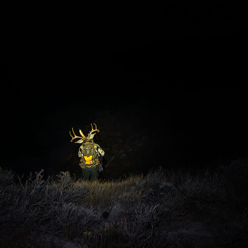
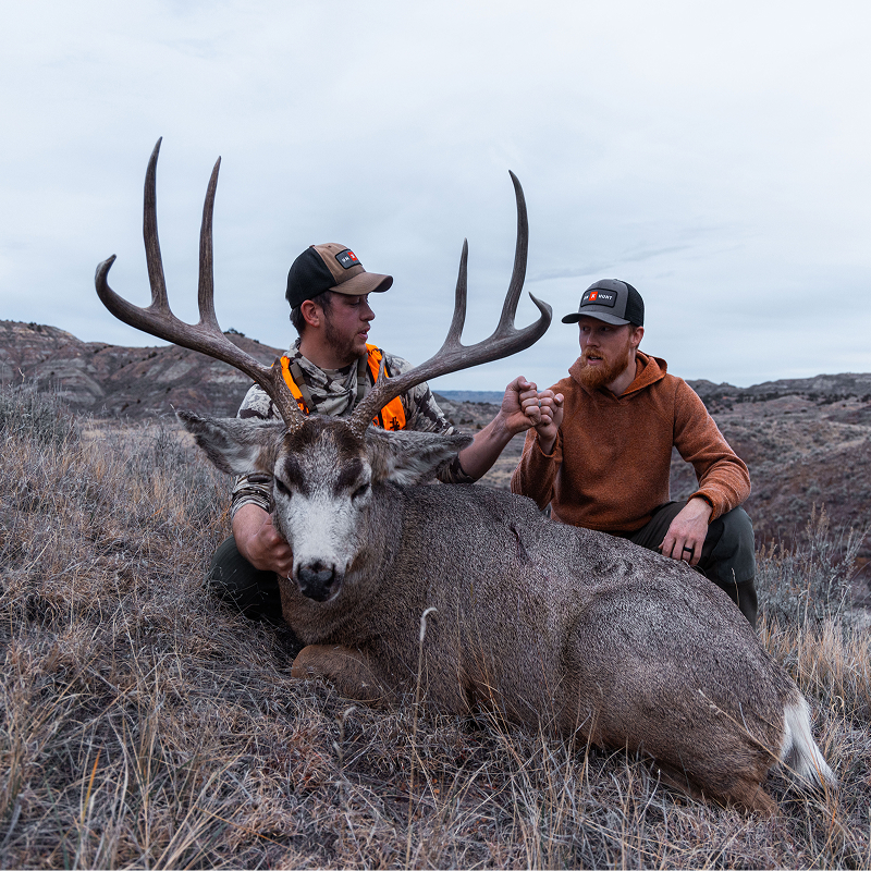
Dylan Dowson heads to the Montana plains in search of a mature mule deer, knowing that with recent declining deer numbers, patience matters more than ever. Passing younger bucks and covering miles of open country, the hunt becomes a grind to locate an old-age-class buck worth pursuing. When the opportunity finally comes together, it results in the widest mule deer Dylan has ever taken, a giant-framed buck that made every mile and every passed opportunity worthwhile.
Play by Play Breakdown

Lidar
I used the Topo Basemap with Lidar enabled to identify ridge systems and plan our route. It helped us move efficiently through the country, choose better glassing points, and stay on the high ground while minimizing disturbance. That allowed us to spot deer before they spotted us.

Tracker
Always Be Tracking. I tracked every hike throughout the hunt. Tracking gave us confidence to hunt farther and stay out later, knowing we could easily navigate back, even after dark with heavy packs. It also provided a clear record of where we’d been, helping us focus on fresh country the next day.

Offline Maps
Most of the country we hunted had no cell service. By downloading a large portion of the state for Offline Maps, we had access to our maps no matter where the hunt took us, giving us confidence to explore new country without worrying about losing service.

Wind & Weather
Late November weather can change in a hurry. I checked the Weather and Wind Forecast in onX Hunt every day to see conditions for the exact areas we planned to hunt. Knowing the wind speed and direction helped us plan our approach and avoid getting winded by game.


Recipe
Venison Chili

Thanks to Our Sponsors