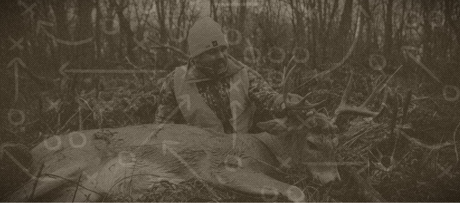

Dakotas Two for One
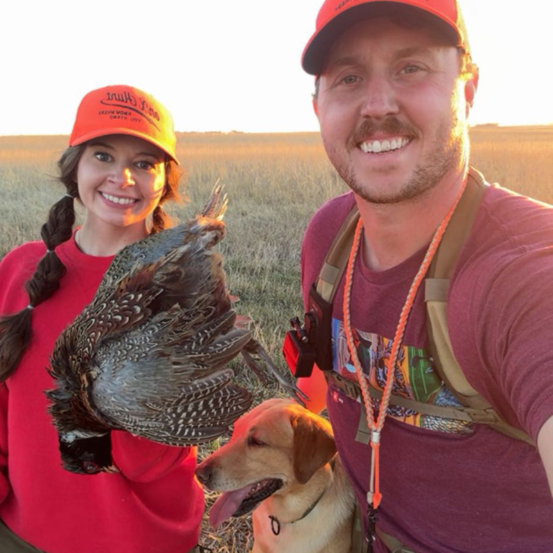
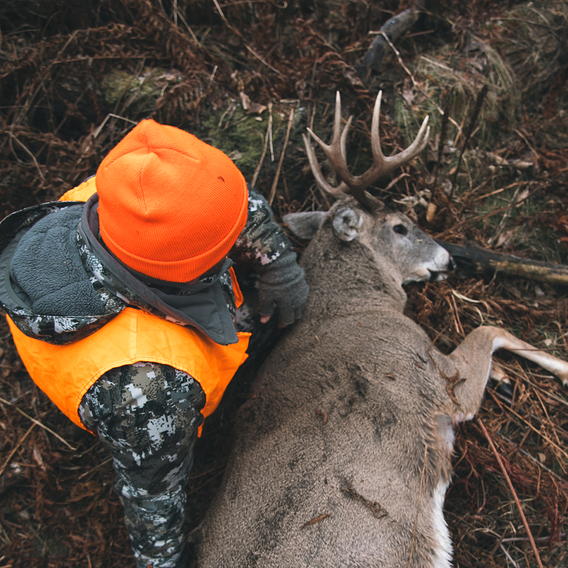
The Dakotas are a special place to be in the fall, especially when you have a whitetail buck tag in your pocket and enough bird dogs in tow to find and flush every pheasant within miles. It’s peak rut time for whitetails and prime weather for hunting pheasants, and we’re planning to take advantage of both.
Play by Play Breakdown

Private/Public Land Layers
Navigating a patchwork of public and private land can be challenging. Whether you’re chasing whitetails or pheasants, onX Hunt makes it easy to identify land ownership, locate public access, and understand who manages each property. For pheasant hunters especially, knowing whether a parcel is managed by a state wildlife agency or a federal land manager can be the difference between an unproductive walk and a vest full of birds.

Recent Imagery
For traveling pheasant hunters, current conditions matter. Recent Imagery lets you quickly assess habitat, identify cover, and see whether neighboring crop fields have been harvested—all valuable clues for finding birds before you ever lace up your boots.

Optimal Wind
When you’ve drawn a coveted deer tag and traveled hundreds of miles, every sit counts. Optimal Wind helps you quickly evaluate wind direction at your saved spots so you can choose the stand that gives you the best chance of success without educating the deer.

Weather
Weather influences every hunt, but this trip revolved around one thing: a classic November cold front. Temperatures crashed from the mid-50s to the teens in less than 24 hours—exactly the kind of dramatic change that gets mature whitetails on their feet. Keeping an eye on the forecast helped us anticipate when conditions would peak, making it clear when it was time to bundle up, climb into the stand, and stay there.

Recipe
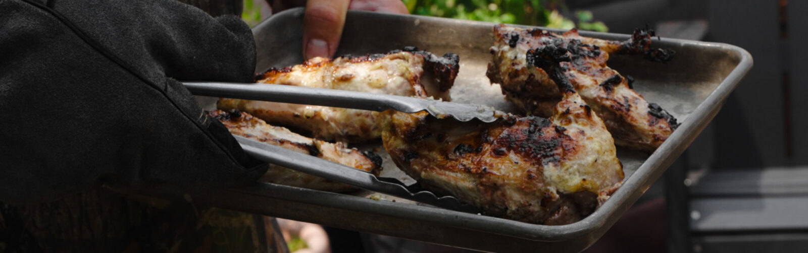
Pheasant Two Ways

Thanks to Our Sponsors