Updated on April 8, 2022: The U.S. Senate and House of Representatives have both passed MAPLand Act and it now only needs a signature from the President to become law.
onX has joined with the Theodore Roosevelt Conservation Partnership (TRCP) to inspire and endorse a new bill that would direct money to land-managing agencies for digitizing outdoor recreation-related maps.
The federal Modernizing Access to Our Public Land Act (MAPLand Act) would require the Secretaries of Interior and Agriculture as well as the Civil Works Department of the Army to translate paper maps and records related to public access to federal lands and waters for outdoor recreation into standardized, digital map data.
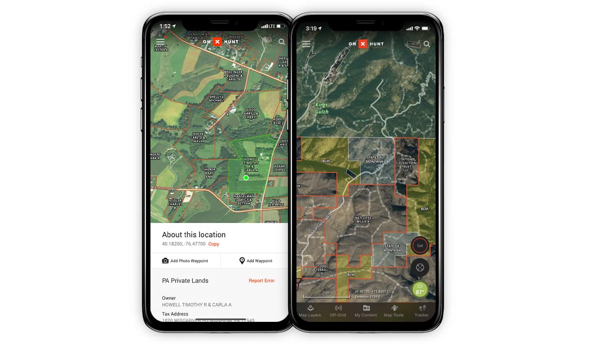
What would this mean for you? More complete and detailed information about road and trail access as well as a better visual depiction of hunting and shooting regulations.

Want to know what the bill includes?
Congress recognizes that fishing, hunting and outdoor recreation are important traditions for millions of people in the United States, and it also recognizes that the lack of information and ease of finding information contributes to declining participation in outdoor recreation. GPS technology and smart devices have the ability to provide detailed information to the public in real time, but many records are still on paper.
Therefore, the bill states that agencies that oversee the vast majority of federal public lands (including the Bureau of Land Management, National Park Service, United States Forest Service and the United States Fish & Wildlife Service) should make a concerted effort to translate paper files into digital mapping datasets and make that information available to the public.
Within 30 months of the bill’s passing, the secretaries would work together to develop data standards so the various agencies are collecting and recording data in the same format.
And within five years, the secretaries would ensure that the following types of information are available to the public in a digital format:
- All federal easements, reservations, and rights-of-way on private land that provide public access to public land
- Open / closed status of roads and trails on federal lands
- Opening and closing dates of seasonal roads and trails
- The classes of vehicles and types of recreation that are allowed on each segment of road and trails on federal lands
- Boundaries of areas where hunting and recreational shooting are prohibited or restricted
The agencies would then be required to update the data every two years. The Modernizing Access to Our Public Land Act would provide a total of $20 million to the departments of Interior, Agriculture and Army over four years to accomplish this task.
“Public land recreation has been revolutionized by handheld GPS technology in smartphones and other devices, allowing users of all types and experience levels to know where they stand in the outdoors,” said Eric Siegfried, the founder of Montana-based onX. “After spending over a decade gathering recreation information for our customers and making it easily discoverable, we continue to find valuable recreation information that exists only on paper. The data need to be complete, easy to find, and easy to use for the public to fully understand the recreation opportunities available to them. The MAPLand act is a much-needed investment in the outdoor recreation industry and in the future of empowering the public to get outside and experience our public lands.”

The United States Forest Service alone has tens of thousands of easements that are yet to be digitized—a lack of resourcing and funds means many of these records are still on old papers in storerooms around the country.
“The MAPLand Act would greatly strengthen ongoing work to expand and create new public access across the country while simultaneously helping the public discover and better understand the access and recreation opportunities that our public lands currently offer to all Americans,” said Joel Webster, Senior Director of Western Programs at the Theodore Roosevelt Conservation Partnership. “After collaborating with onX over the past three years to identify the acreage of landlocked public lands across the West, we can’t think of a better bill to help solve many of the biggest challenges when it comes to accessing our federal public lands for hunting and fishing.”
The bill was introduced by U.S. Representatives Blake Moore (R-Utah), Kim Schrier (D-Wash.), Russ Fulcher (R-Idaho), and Joe Neguse (D-Colo.) and by U.S. Senators Jim Risch (R-Idaho), Angus King (I-Maine), Mike Crapo (R-Idaho), Susan Collins (R-Maine), John Barrasso (R-WY), Joe Manchin (D-WV), Martin Heinrich (D-NM), Steve Daines (R-Mont), and Mark Kelly (D-Ariz).