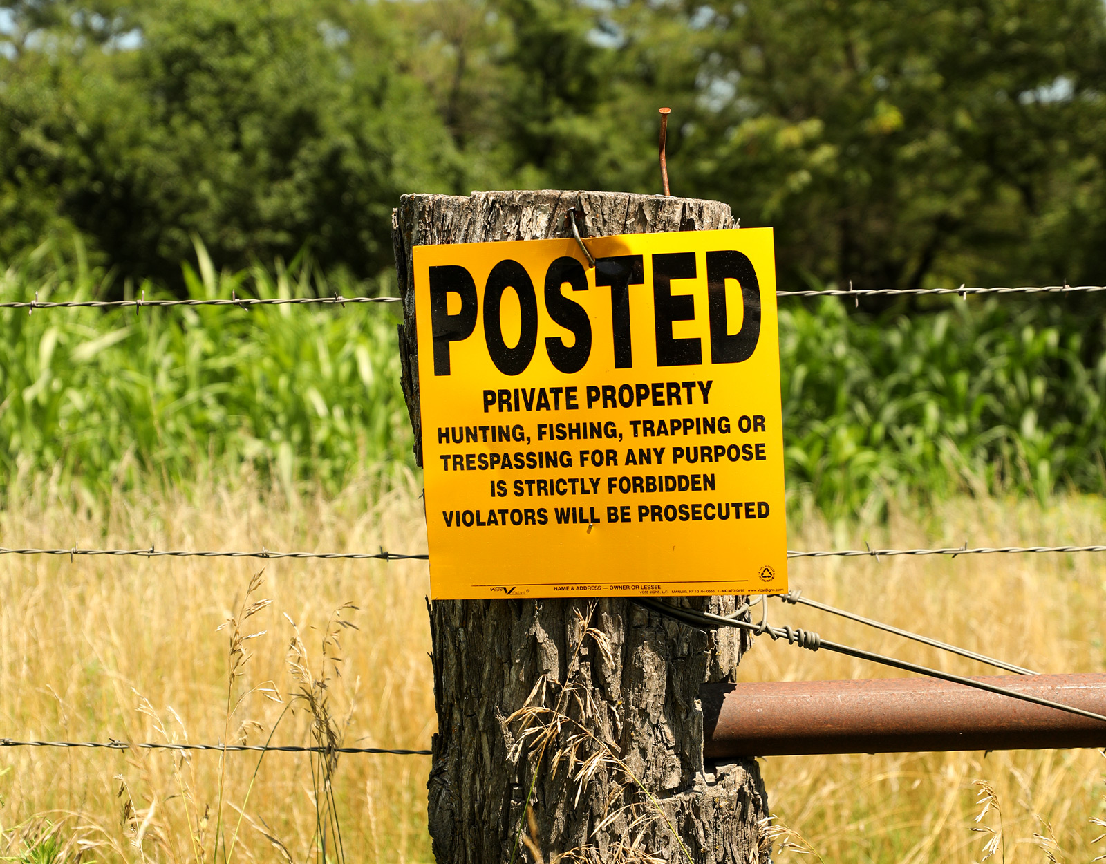
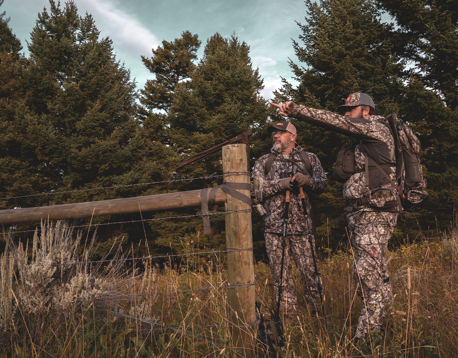
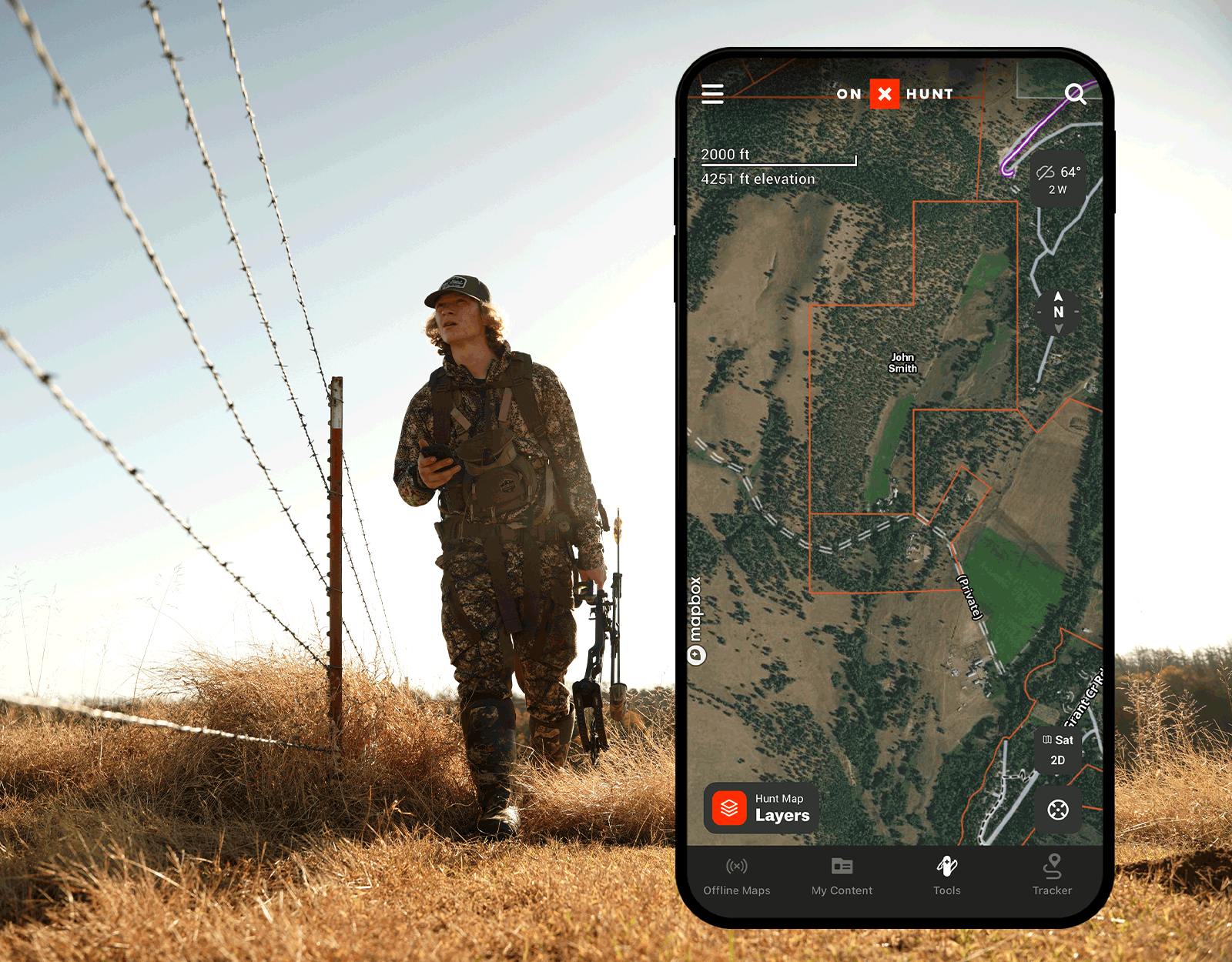
Private land ownership and property information is a key value of onX Hunt—and, for many, one of the key reasons they choose to continue their onX membership. Hunters, hikers, and anyone heading into the outdoors depend on the onX Hunt App to show them an array of information, including public/private boundaries and land ownership information.
We have a variety of in-house teams at onX who spend their days aggregating and managing data from various sources, which then flow into our Apps. Day in and day out, we’re working within our system to ensure we remain the source to which you can confidently turn when you’re heading into the field and need accurate information.
Where Does onX Get Its Data?
While we source all information from a broad variety of sources, one of the most challenging is maintaining updated private land ownership information. We’re beholden to external sources for this information, and can only update our information within the Hunt App when these sources themselves are updated.
In an effort to ensure the most accurate land ownership information enters the App, we work with a variety of data sources around the country to gather information, including several private data providers as well as directly from a state and/or a county. Some government sources only update their files once a year, while others update weekly or not at all. The ownership info found in the 3,143 U.S. county databases doesn’t always match other databases—we know, because we check. Using private data providers in addition to government sources allows us to unlock new methods of update delivery and frequency that, put quite simply, government sources sometimes lack. For some counties and some states, accurate and updated government public parcel data is challenging to source, and private sources can help us bridge those data gaps.
This parcel data comes in two different categories: spatial and attribution. Changes in spatial data means the parcel size itself has changed (for example, a single parcel has split in half, or two parcels have merged), and this information always comes from the relevant county. Attribution, as the name would suggest, represents the name of the parcel owner and other details such as address, tax ID, and additional details. We use both private and county sources to source this attribution information, as sometimes private vendors have faster ways of updating this information than the counties themselves. Eventually, the county will update attribution information and send it out; however, that process has been known to take years.
How Is Land Ownership Data Reviewed?
At onX, we have individuals who seek out and vet sources throughout the year to determine whether the data they provide would be better than whatever data a given state or county is currently supplying. Each of these sources is updated at various intervals depending on the state or county, and then we take their updated data and verify it through our own systems before moving it into the Apps.
Once we have the updated private parcel data information, our in-house mapping team works to confirm the changes using a mixture of manual and automatic review processes, cleaning the parcel geometries and ensuring boundaries match. If there are issues, our curation team will step in and assist with the process. Once the data is ready, we adjust the information within our system, and then confirm the alignment of the new boundaries to existing public lands boundaries. Once the information is confirmed and verified, it will then be added to the next App update flow.
In short, if an official data source has not updated its land ownership records, we don’t have new information to flow into our Apps.
How To Report a Map Error
So, what does this mean for you if you or a friend has a property that’s showing incorrect ownership information in the onX Hunt App? While we may be waiting for new data to process through the county or state level, you can reach out to our team directly and submit a map error. Include as many details as possible—the more information, the better. The error report is sent directly to our mapping team, who will verify the information. If the report is verified, it will be corrected the next time we update the area. We continually work to help make all of these processes more efficient so we can move data more quickly while maintaining our high standard of quality.
Map accuracy is a cornerstone of how we work at onX. While many of our competitors only pull ownership data from a single source, we use a variety of different sources, cross-referencing and doing our own in-house comparisons to ensure the data that makes it into the Hunt App is as accurate as possible. However, we’re still held to relying upon the counties and our other data partners to keep their information up-to-date and accurate. It takes a great deal of time and effort to gather the data, format it for use in our maps, double-check everything, and finally release the update, so we appreciate your patience throughout the process.
Thank you for helping us correct any errors from our data sources. You have the power to help us correct these errors—help us find the mistakes and keep the information updated. We take the data within our maps very seriously, and work intently to ensure you’re getting the best possible information within our apps.