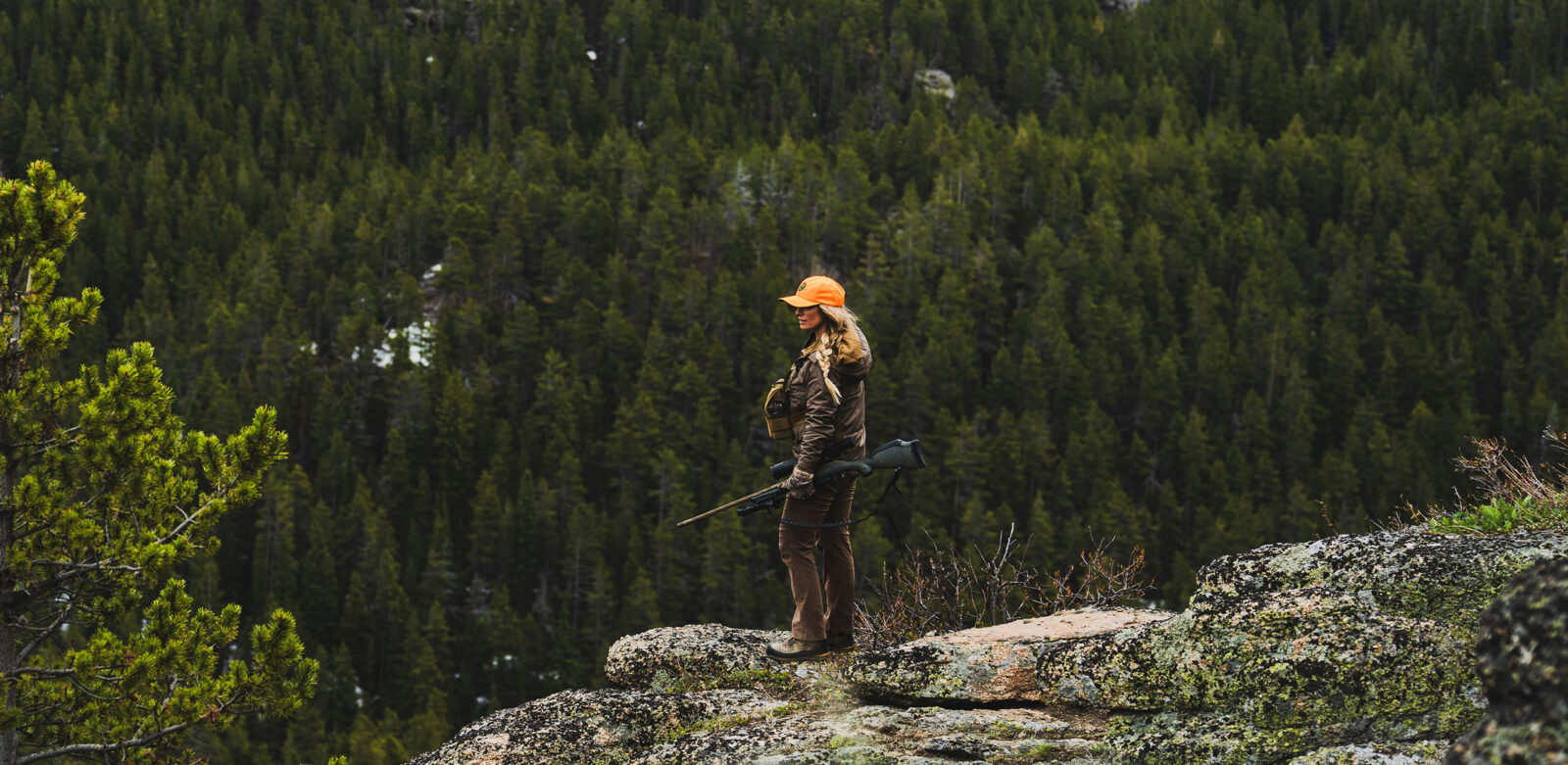

Lidar Maps for Hunting
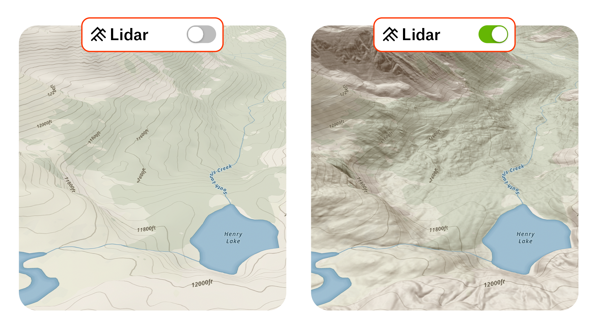
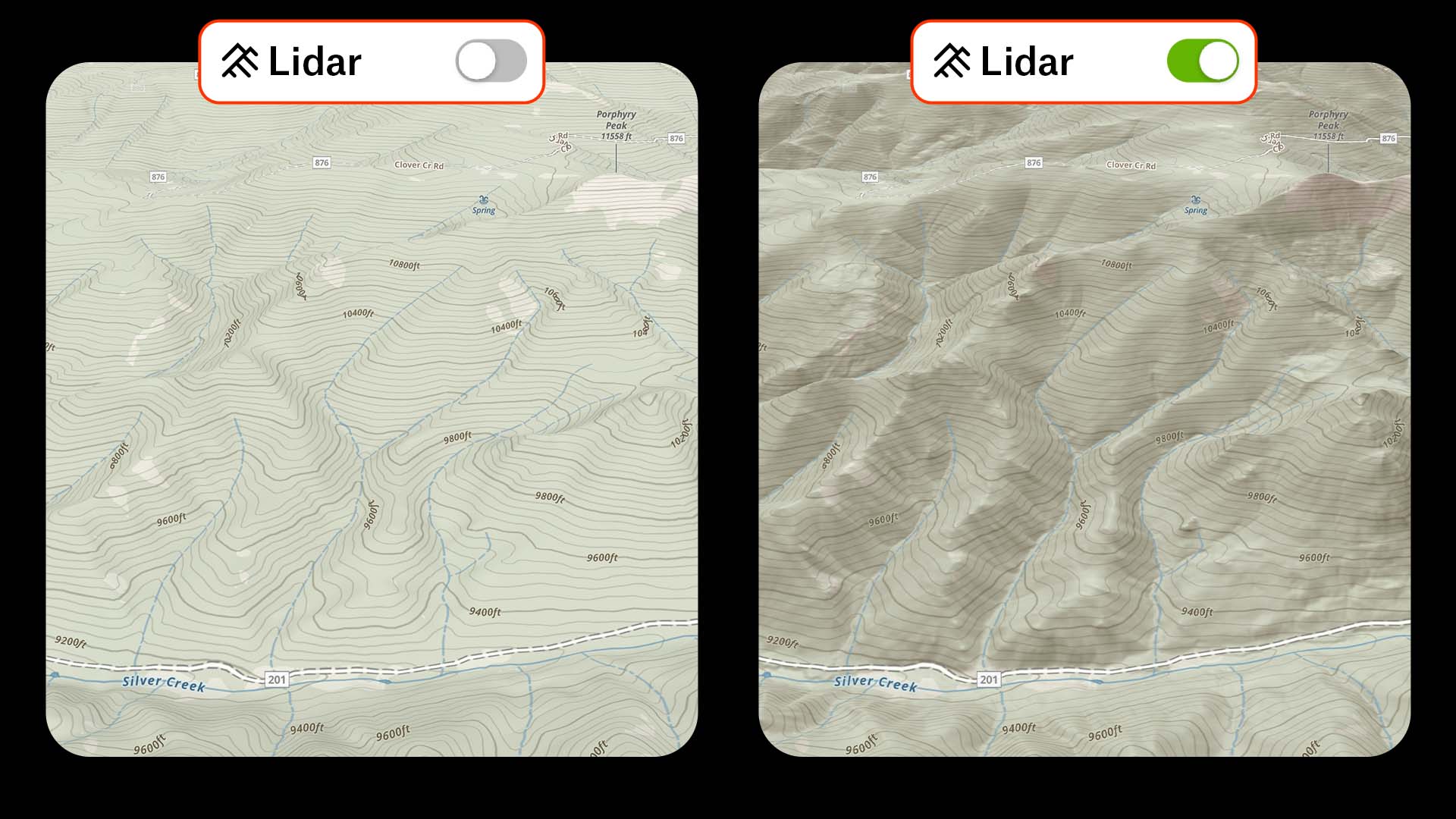
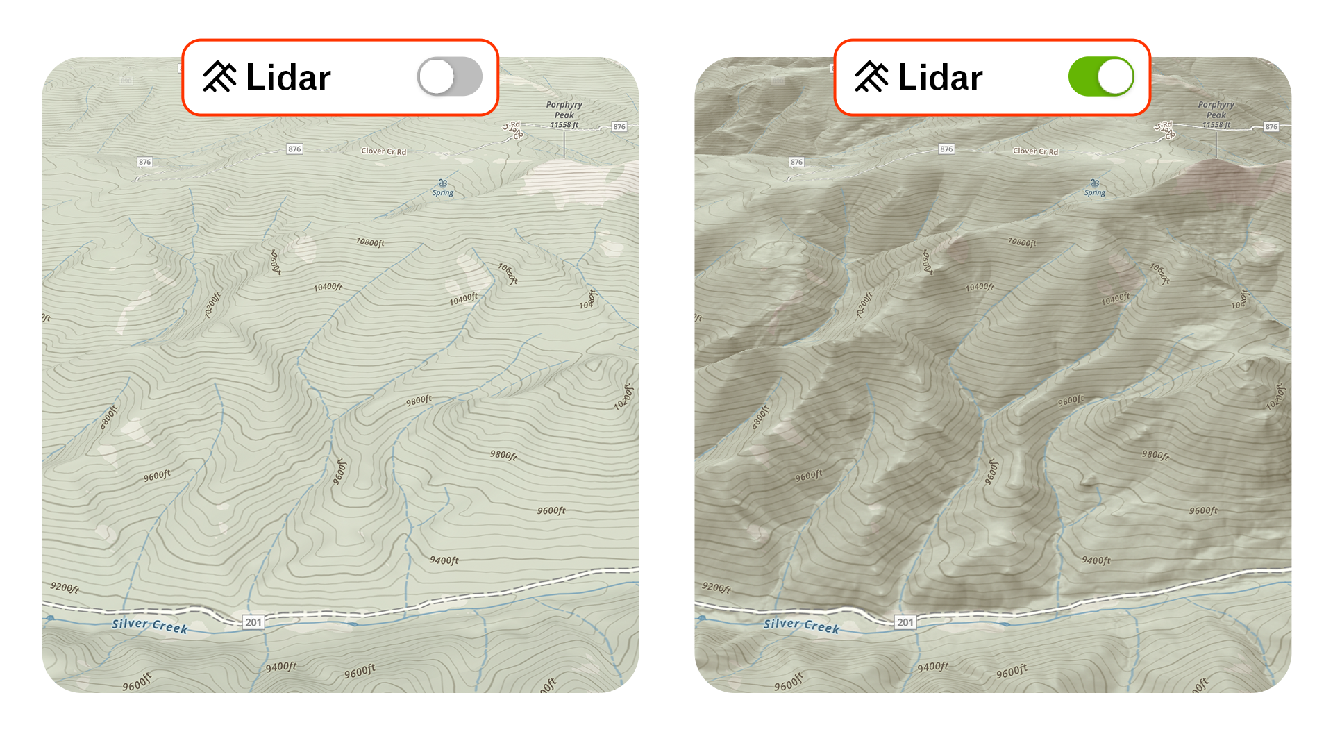
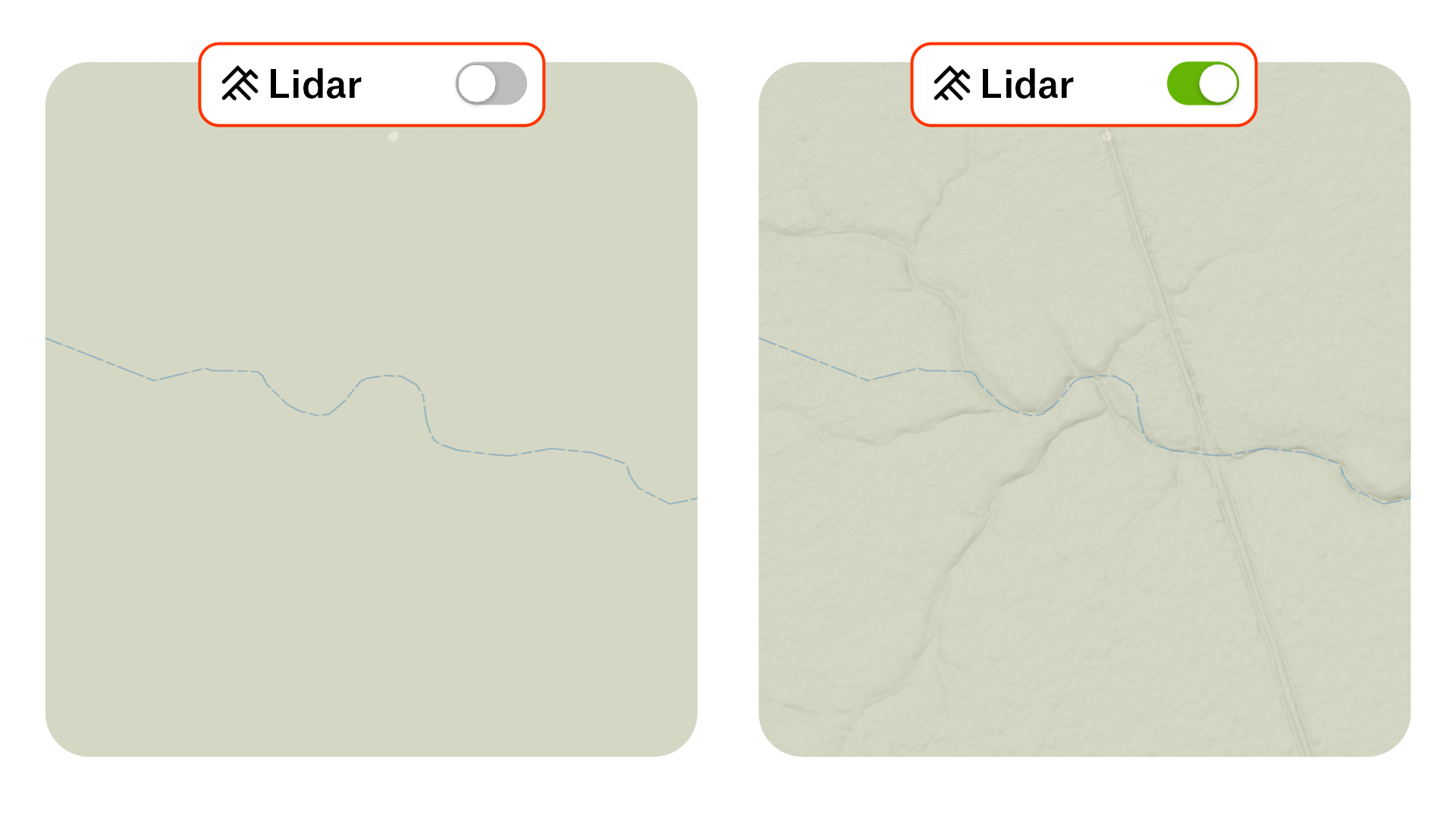
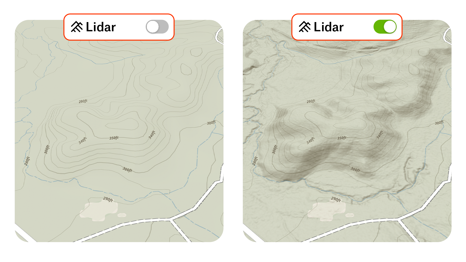
Lidar brings terrain to life in ways other maps simply can’t. With high-definition elevation detail, Lidar Maps reveal even the most subtle terrain features, like ditches, creek bottoms, and old logging roads, that would otherwise remain hidden on standard maps.

See the Map Like You’re Actually There
Uncover the terrain details that make a difference. Whether you’re planning a new stand or breaking down a basin, Lidar helps you see the land like you’re already there and gives you the edge that turns hours of e-scouting into minutes of “there it is.” When you can read the land this clearly, you hunt smarter and find the spots others miss.
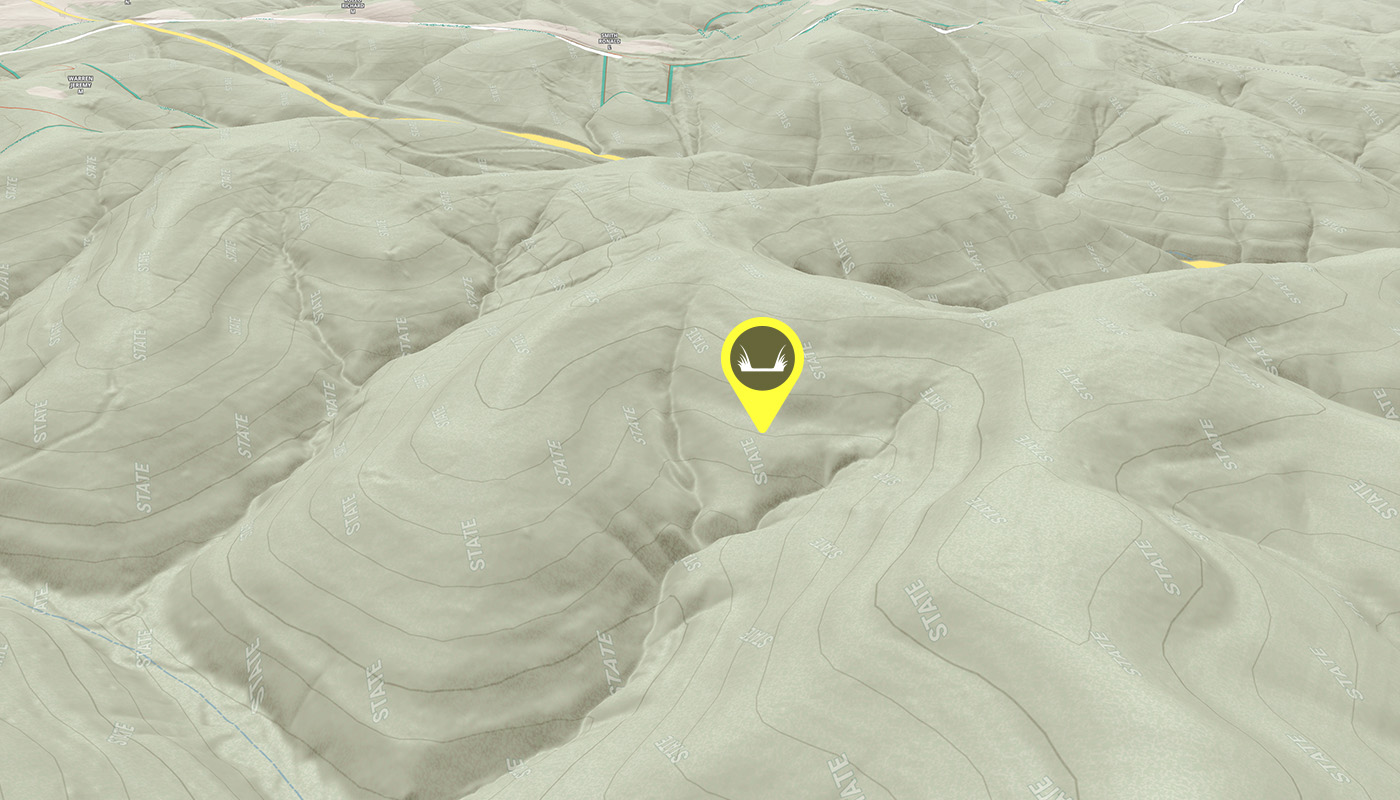
With
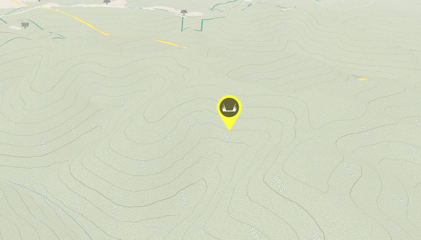
Without
Once I used Lidar, I can’t imagine not having it. I’ll be leaning on Lidar to pick out subtle cuts and shaded folds where big bucks bed. It shows me pockets I’ve walked past before—this year, I’ll know exactly where to glass first.
– Casey Butler, HUSHIN
Know Where To Hunt: Try Lidar Maps Free
Lidar doesn’t miss a thing. Now you won’t either. Find hidden benches and shelves under timber, expose the texture of hill country, and see open and mixed terrain like you’re there.
Frequently Asked Questions
Light detection and ranging (Lidar) is a technology used to create high-resolution models of ground elevation with a vertical accuracy of approximately 10 centimeters (4 inches). It provides precise, detailed surface information commonly used in mapping, forestry, and land management.
Lidar equipment mounted on a small aircraft uses a laser scanner, GPS, and Inertial Navigation System to transmit brief pulses of light toward the ground. The travel time of those reflected pulses is measured thousands of times per second to generate detailed 3D representations of the terrain.
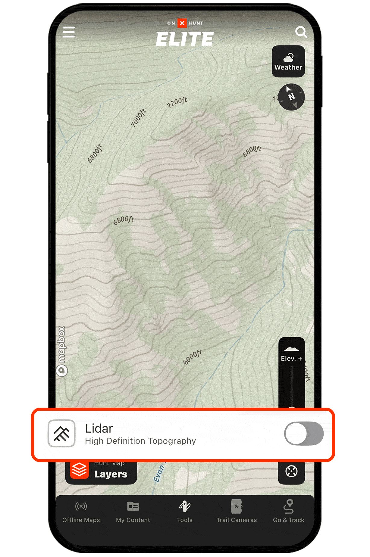
Yes, onX Hunt includes Lidar Maps as a feature that reveals terrain details like funnels, benches, drainages, and micro terrain breaks that standard topo and satellite maps often miss.
Lidar Maps are available to Elite Members. You can start an Elite trial to explore the feature for yourself.
No, Lidar Maps are not currently available without cell service.
Lidar Maps expose hidden shelves, depressions, overgrown logging roads, funnels, and small terrain breaks like micro dips and cuts that influence game movement but rarely appear on traditional maps.
Lidar’s shaded relief makes it easy to read ridges, benches, and drainages at a glance, helping you narrow hundreds of acres down to the few spots that actually hold animals and spend less time on unproductive ground.