Food & Cooking
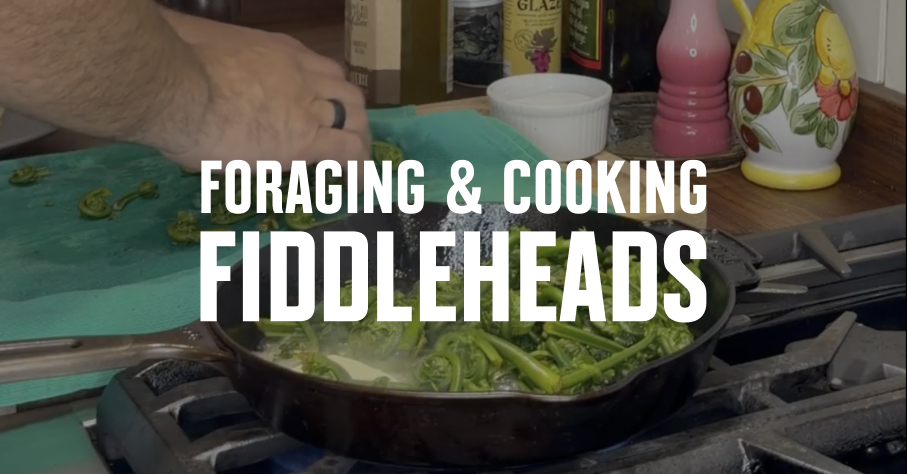
Fiddlehead Ferns Recipe
This fiddlehead fern recipe from Chef Michael Hunter will have you lacing up your boots and grabbing your foraging basket.
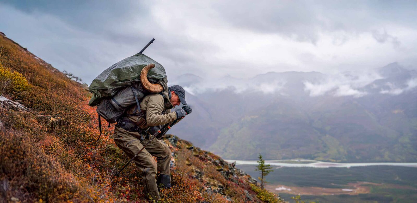
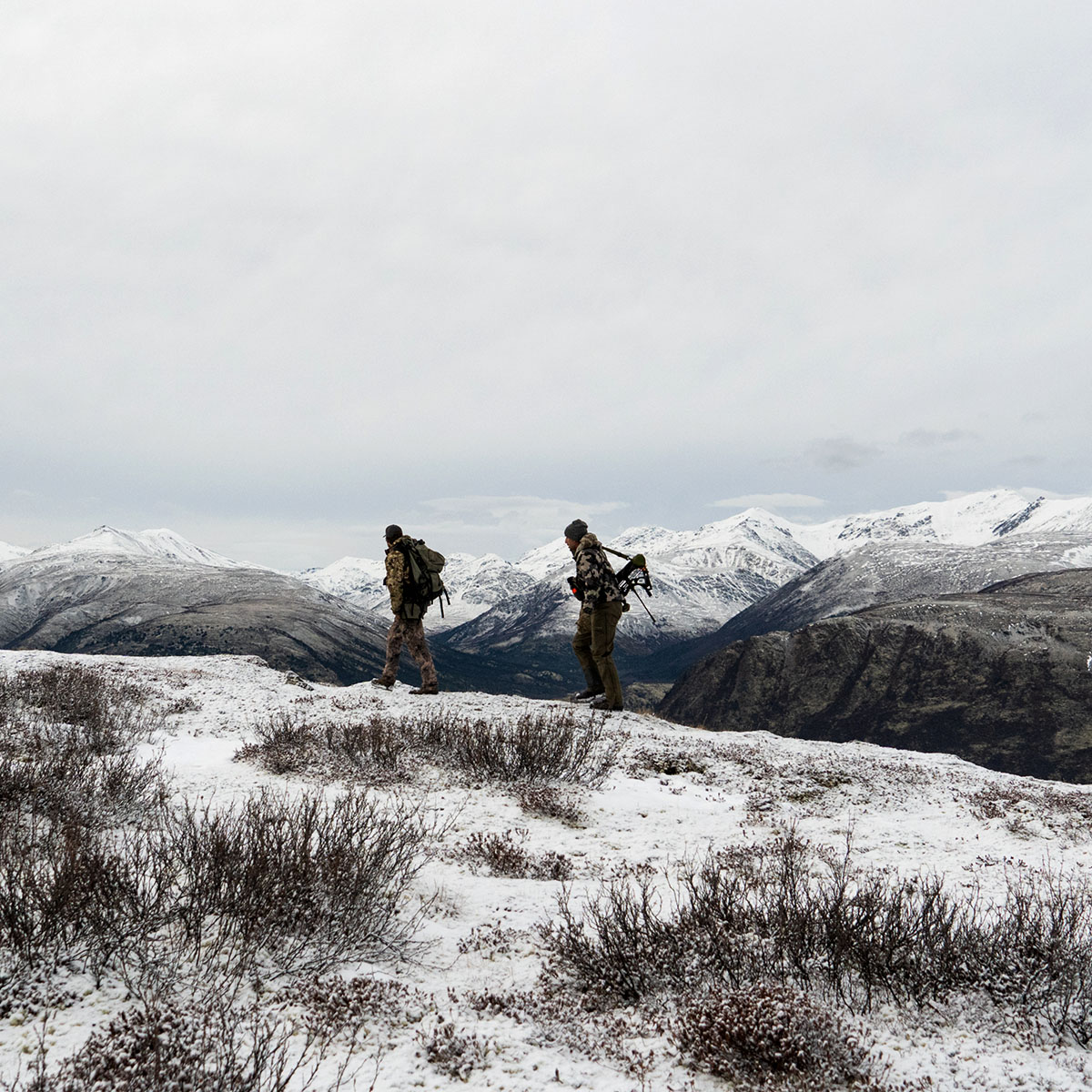
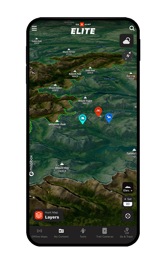
Whether you hunt the mountainous West, the endless prairies, or the East’s dense forests, onX Hunt gives you the tools you need to empower your adventures. Explore public and private lands, view hunt-specific Map Layers, download maps for use with no cell service, and more with onX Hunt in Canada.
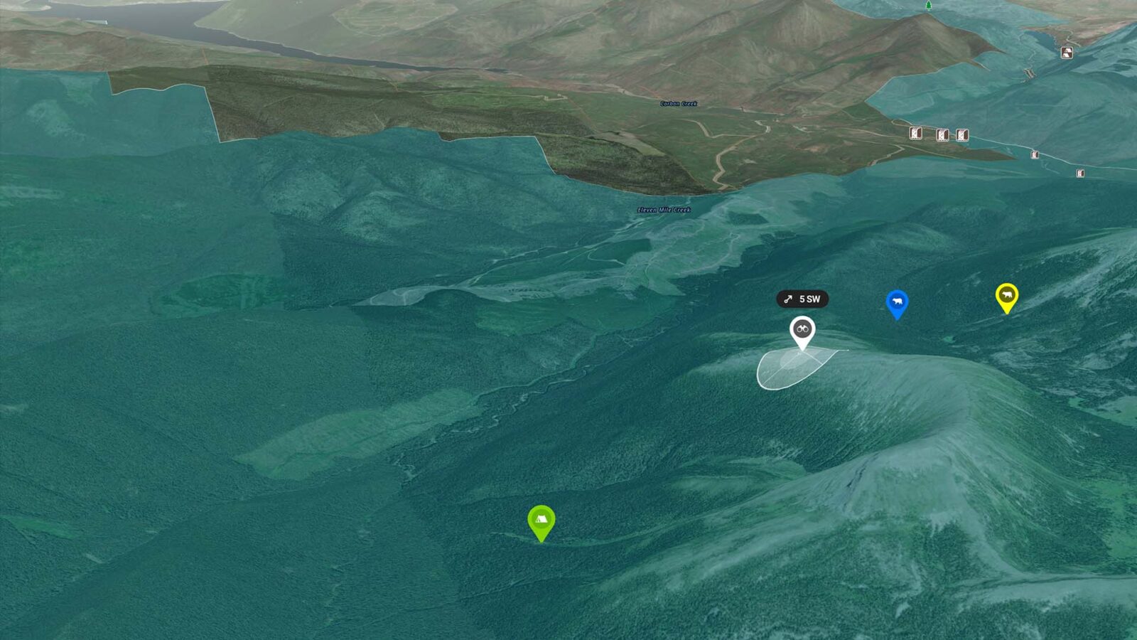
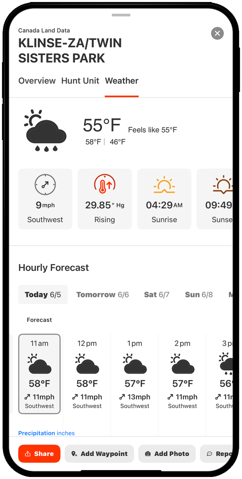
Thousands of weather stations empower you to understand what you’re getting into and how to play the wind to find success. And with Wind on Waypoint, you see the conditions at your stands, glassing knobs, and more.
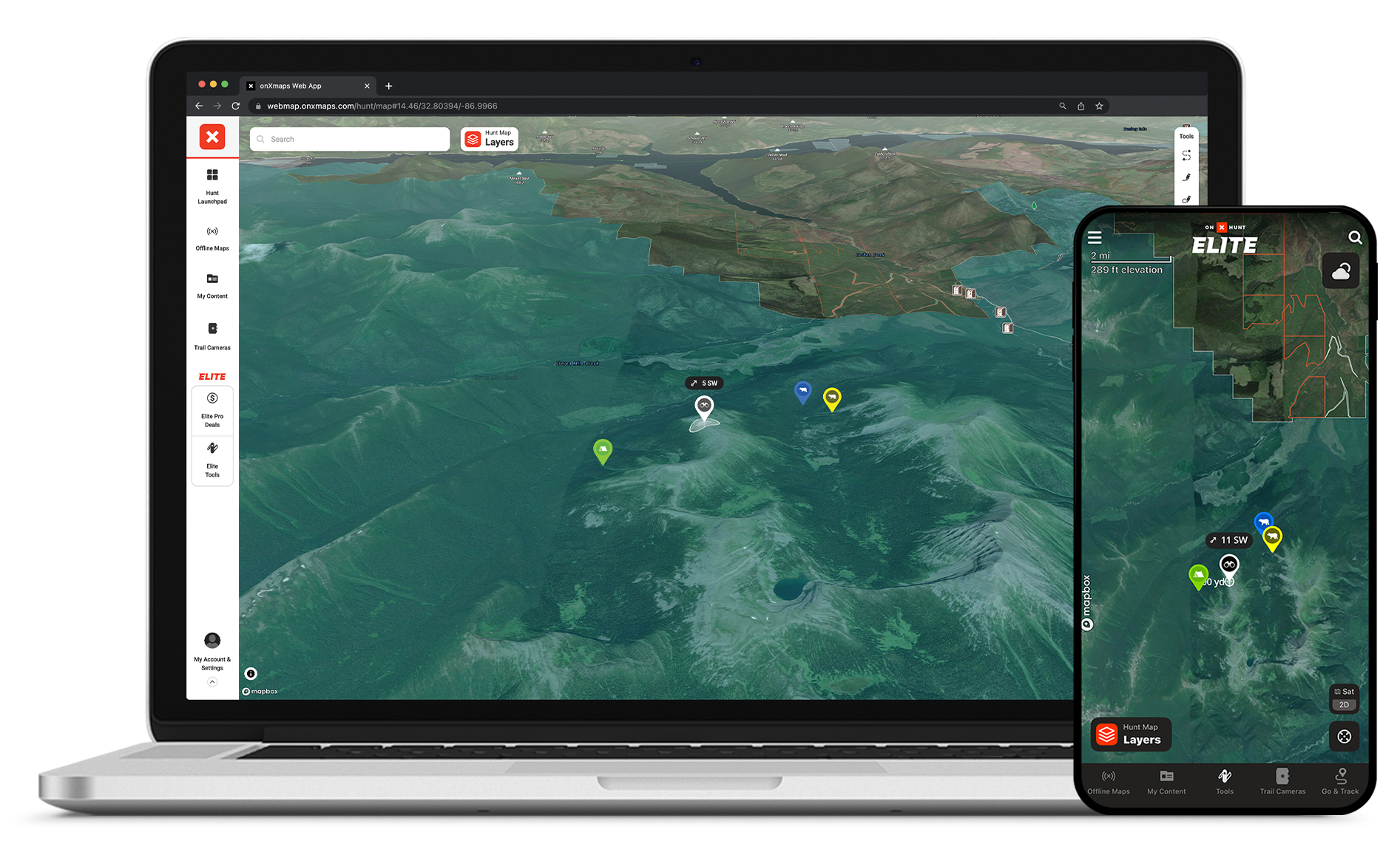
Create custom Waypoints and sort them into hunt- or area-specific folders. With My Content, the power of building your own custom hunting maps is powerfully magnified.
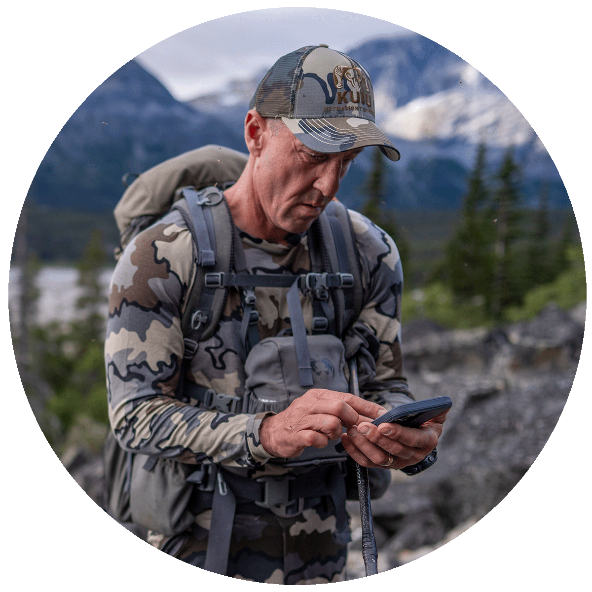
“I’ve used onX Hunt in Canada for several years now, and it’s become one piece of gear I never head into the backcountry without. Whether I’m deep in the Yukon mountains or navigating tight bush lines, having accurate land boundaries, terrain layers, and Offline Maps in my pocket makes all the difference.
The recent updates onX is rolling out across Canada are a game-changer for hunters and backcountry adventurers. One of my favorite features is how it brings together weather intel and hunt planning tools in one place—I can map out access, monitor conditions, and adjust on the fly, all before my boots hit the ground.
If you’re serious about getting off the beaten path and increasing your success, onX Hunt is essential.”
-Greg McHale
Get onX Hunt in Canada today and explore the backcountry with powerful Offline Maps and tracking tools.
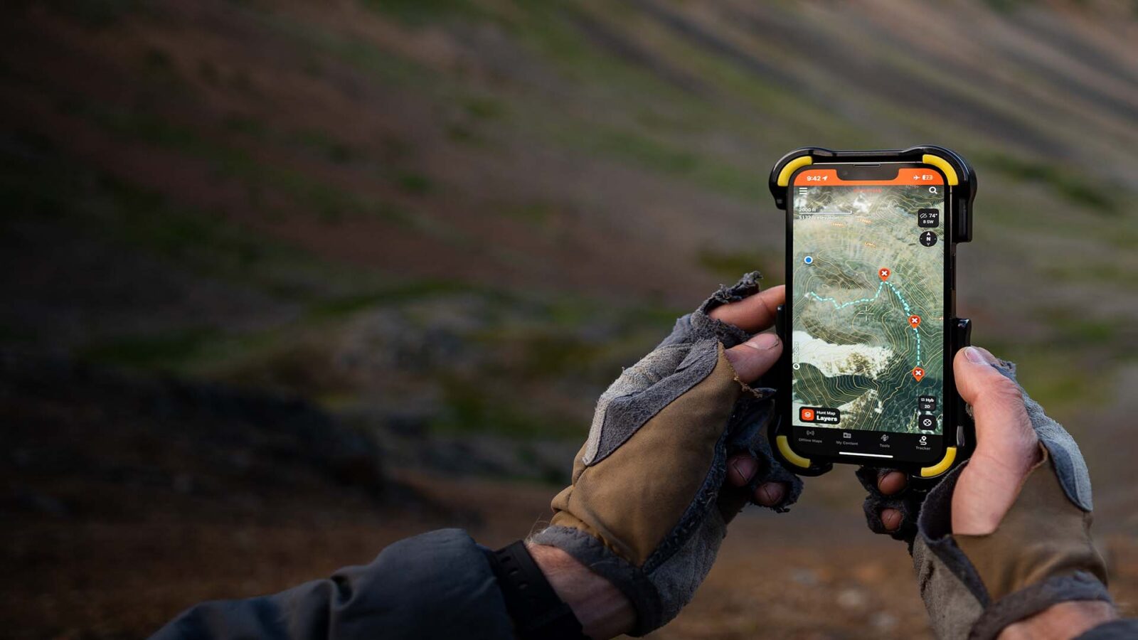
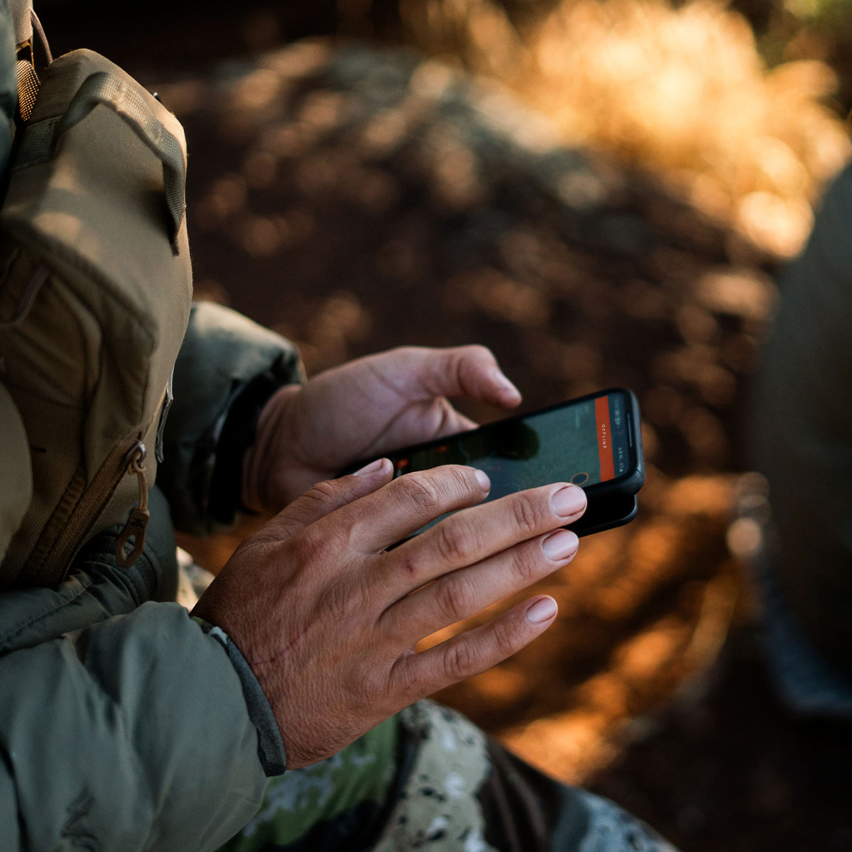
Yes. Download an Offline Map of your hunt area before heading into the field. To save battery life on your mobile device, enter Offline Mode when cell service is spotty or nonexistent.
onX Hunt provides all the maps you need for a successful hunt. View Crown and public lands, Private land boundaries where available, and province- and species-specific maps tailored to your pursuit.
Tap the Offline Maps icon in the bottom left corner of your screen. Tap “New Offline Map,” choose your resolution and location, name your map, then tap the “Save” button.
Yes. With Crown and other public land hunting maps, onX Hunt is a powerful tool for public land hunters in Canada.
No. Where available, onX Hunt provides public land boundaries throughout Canada.
Yes. onX Hunt’s Sharing feature is an important tool for safety and coordination. Share Waypoints, folders, and more within the Hunt App.
Food & Cooking
This fiddlehead fern recipe from Chef Michael Hunter will have you lacing up your boots and grabbing your foraging basket.
Research & Planning
onX Ambassadors share a few of their favorite spots and times of the year to set up blinds and start calling in ducks and geese during their migration.
Learn
Aside from being fun to find, sheds offer clues on how to beat a buck at his own game. Learn how sheds serve as a deer scouting tool for the season ahead.