Taos and Santa Fe
Beacon Guidebooks has partnered with onX Backcountry. Find guidebook quality content for backcountry adventures in Taos and Santa Fe. Taos and Santa Fe has 26 zones to explore and 197 routes.
Total Zones
26
Publisher
Beacon Guidebooks
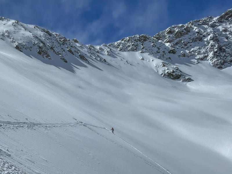
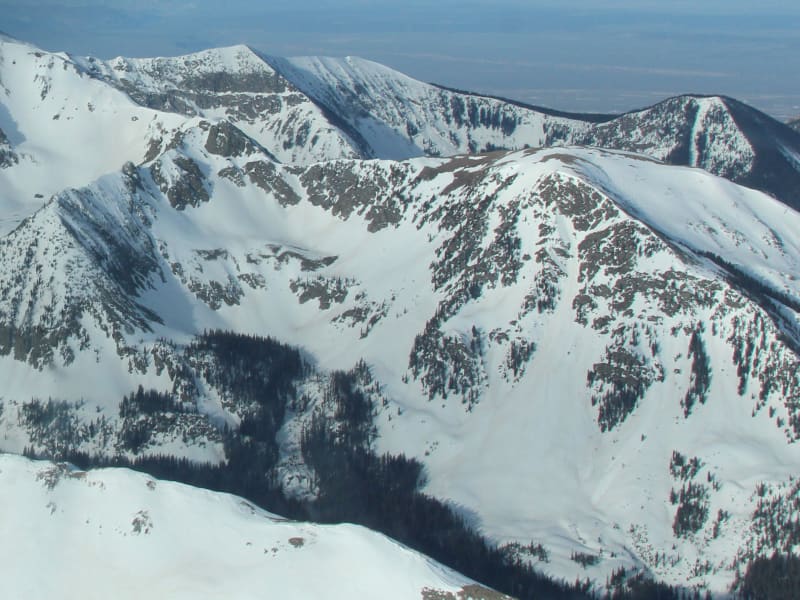
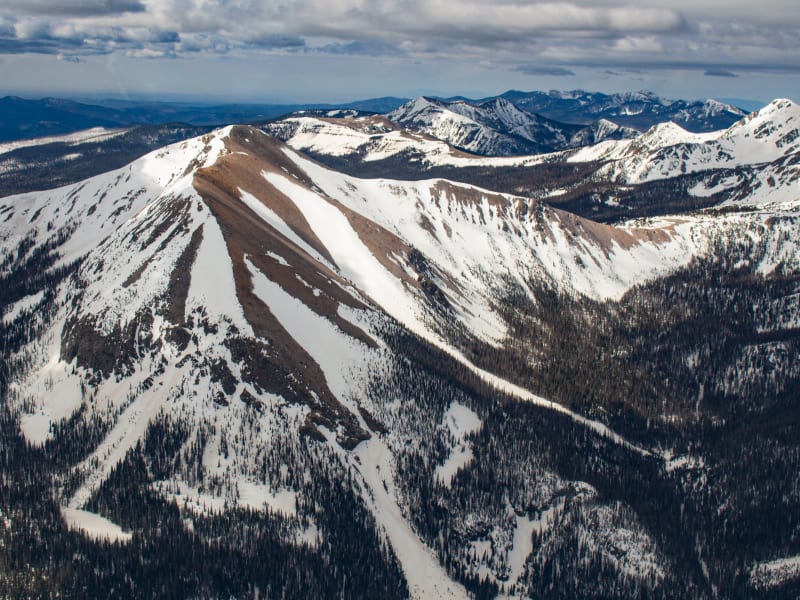
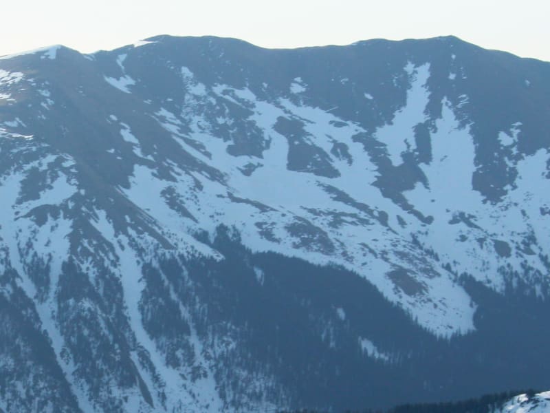
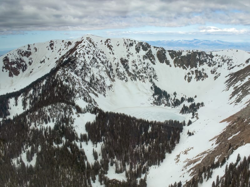
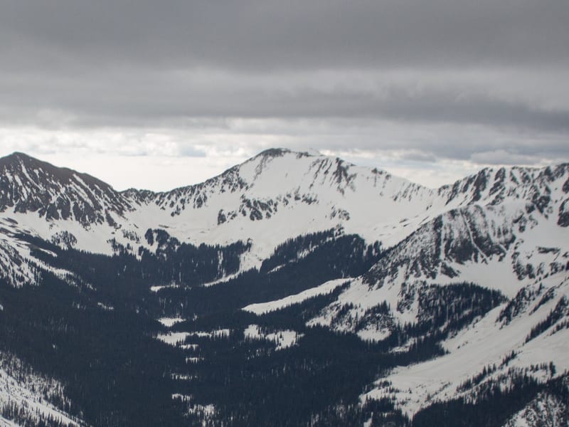
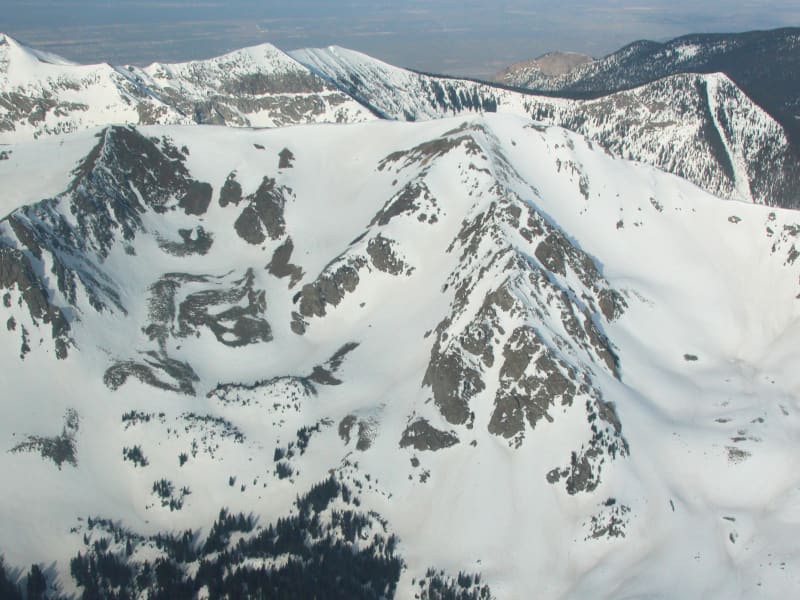
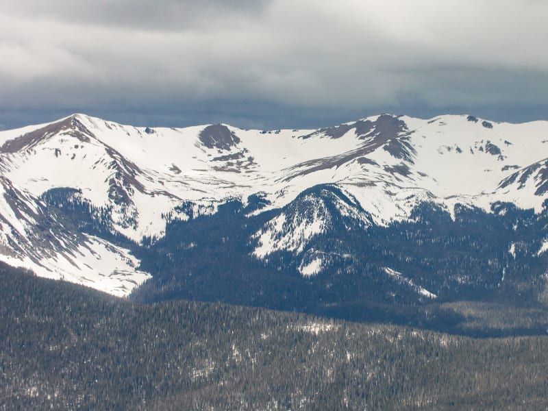
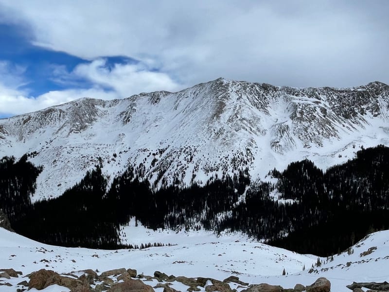
Taos and Santa Fe Overview
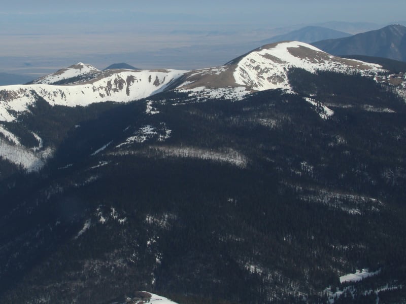
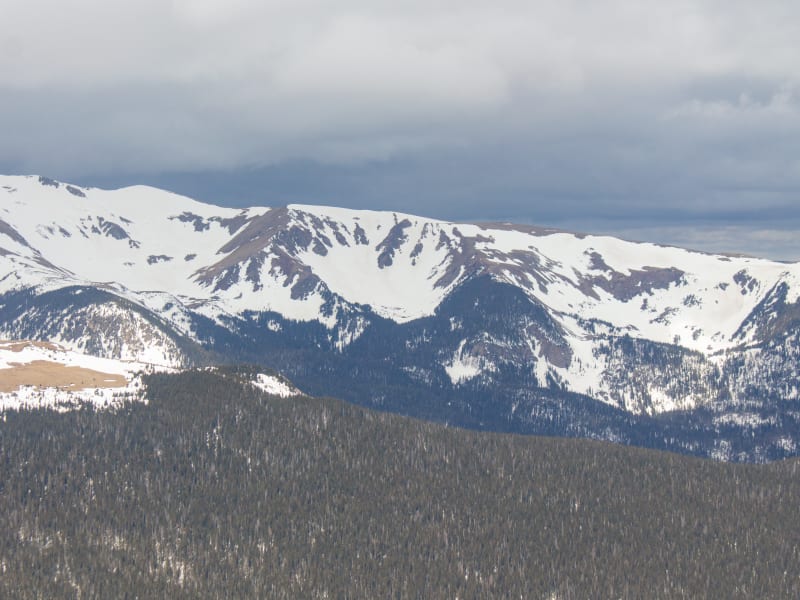
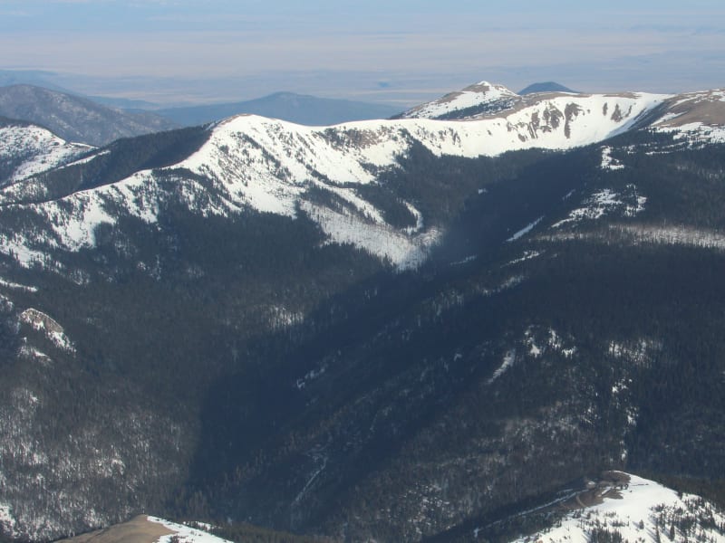
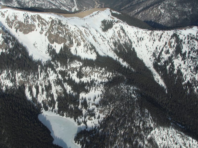
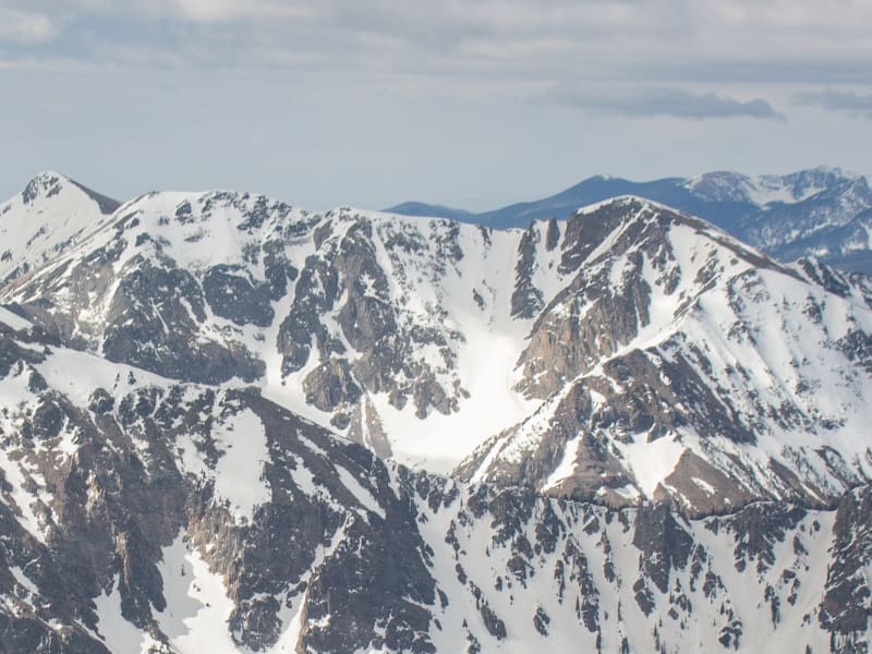
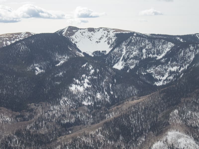
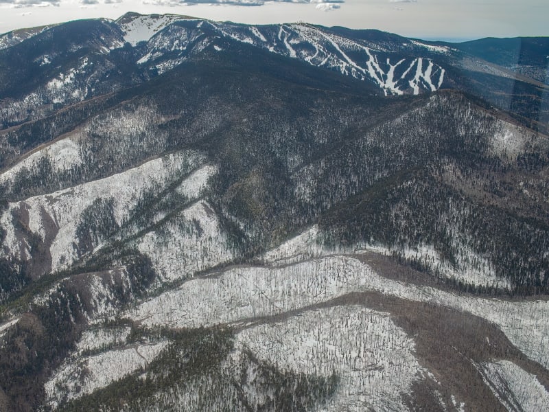
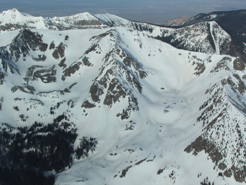
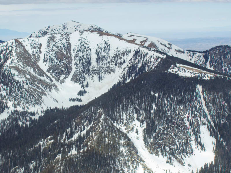
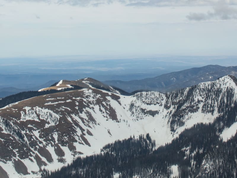
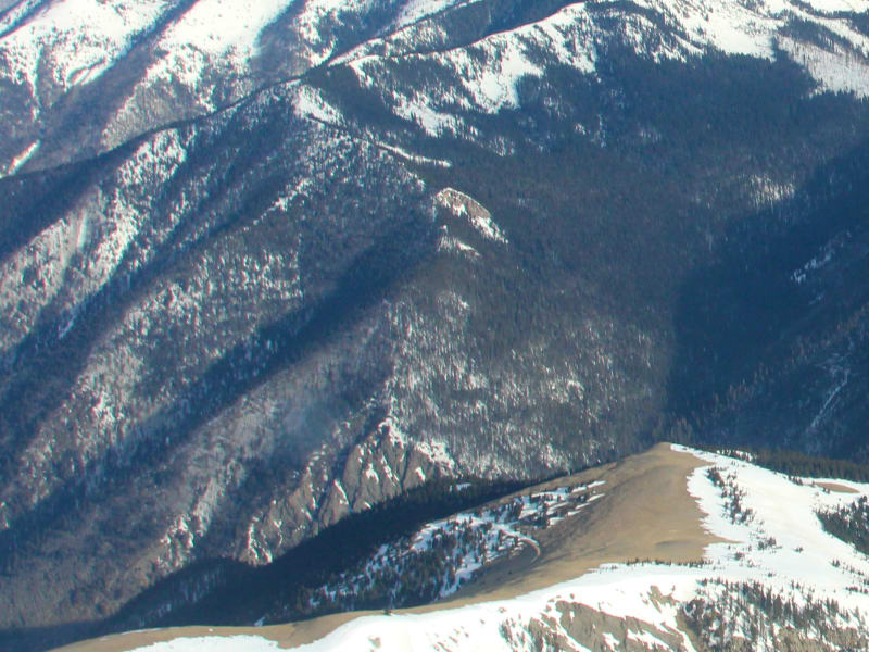
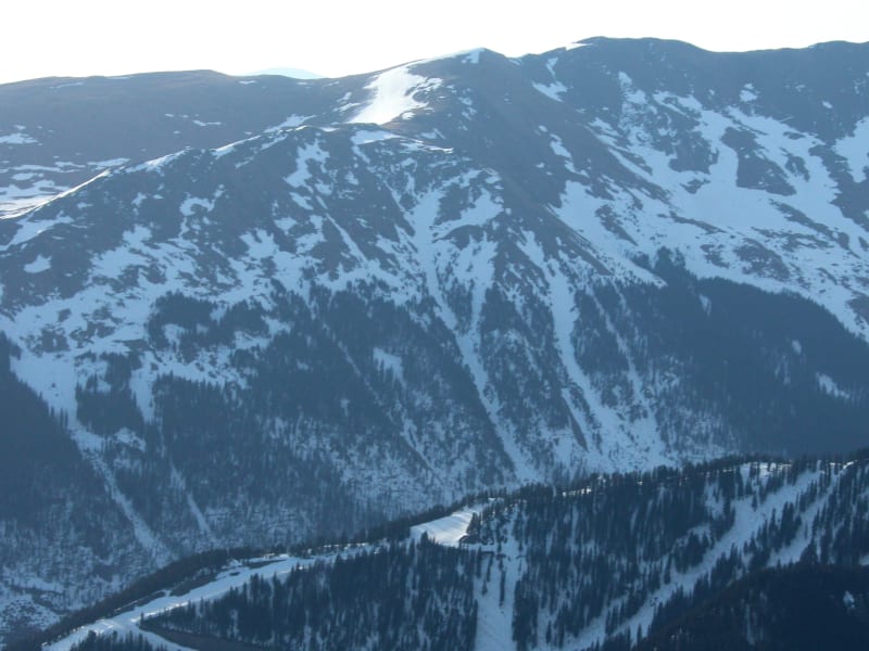
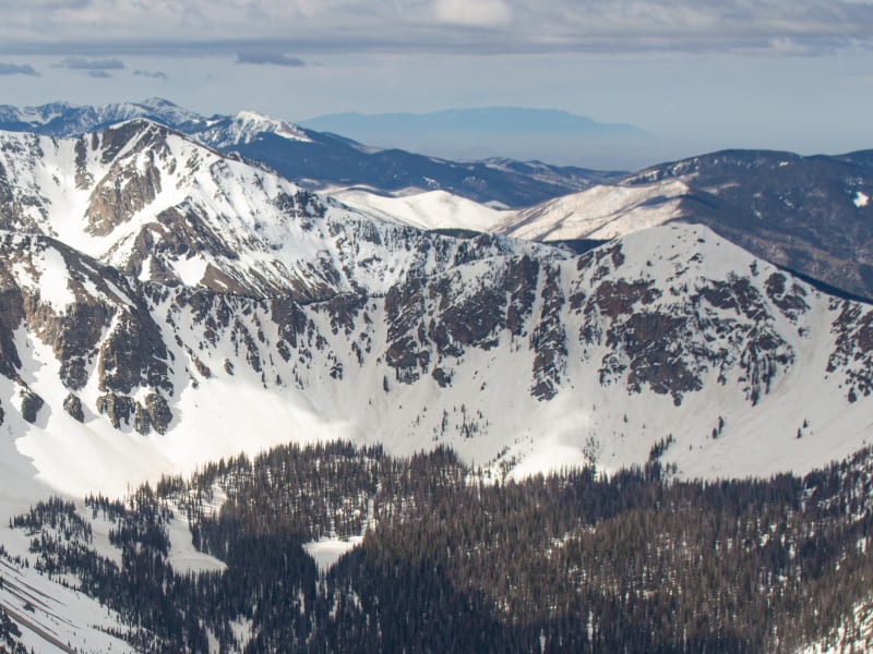
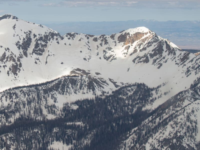
New Mexico has been possessed by many peoples, tribes, countries, and government entities—and without fail, those who visit become possessed by its vastness and beauty. As centuries pass and new abodes are built on top of old, the peaks and valleys forged over geologic time remain. To experience their splendor, open your eyes, take a deep breath of the high desert air, and let the rapture of the place overtake you. At no time is the splendor wasted on those who hike to these summits during the winter and spring months as they are rewarded by the incomparable bliss of sliding down on snow. A truly magical experience. Backcountry touring is a relatively new activity in New Mexico. The early days of the pandemic left many avid skiers and riders without a functioning ski area. For the cost of a lift ticket, backcountry travelers could buy a new pair of skins and open up the world outside the ski area boundaries. I never saw tracks far beyond the ski area boundaries in the 80s; it wasn’t until the early 2000s that I started to see occasional tracks. Today, it’s rare that I don’t see someone else out having fun in the sidecountry—but the wilderness experience is still very much available to those willing to explore. New Mexico offers many adventures in areas less traveled. The snow can be as deep as anywhere in the Rocky Mountains, and the spring skiing can make for quick descents. While the New Mexico snowpack shares commonalities to the snowpack at large within the Rocky Mountains, the lower latitude plus high elevation combine to form a special snowpack different from the surrounding states. The changing snowpack may be very different from the typical continental snowpack folks have come to expect in the San Juan or Elk Mountain ranges just to the north in Colorado. I am fortunate to have had the opportunity to spend the majority of my youth, and to have made a successful guiding career, in these mountains. I share the common thread of the experience with those who have come before and those yet to make the discoveries. —James Marc Beverly
Zones Covered
- Big T Approach
- Grassy Knoll
- South Cornice
- Gut Shot
- South Ridge
- Hot Tamale
- Low Rider
- SB to Chimayosos
- Culebra
- Fangorn Forest Approach
- Rowan Trees
- Deadfall
- Treebeard
- Ents
- Powerline
- Gavilan Glades
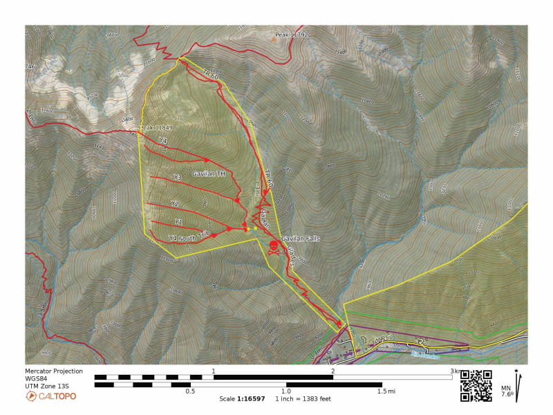
- Y4
- Y4 South Trib
- Y3
- Y2
- Y1
- Y1 South Trib
- Gavilan Exit
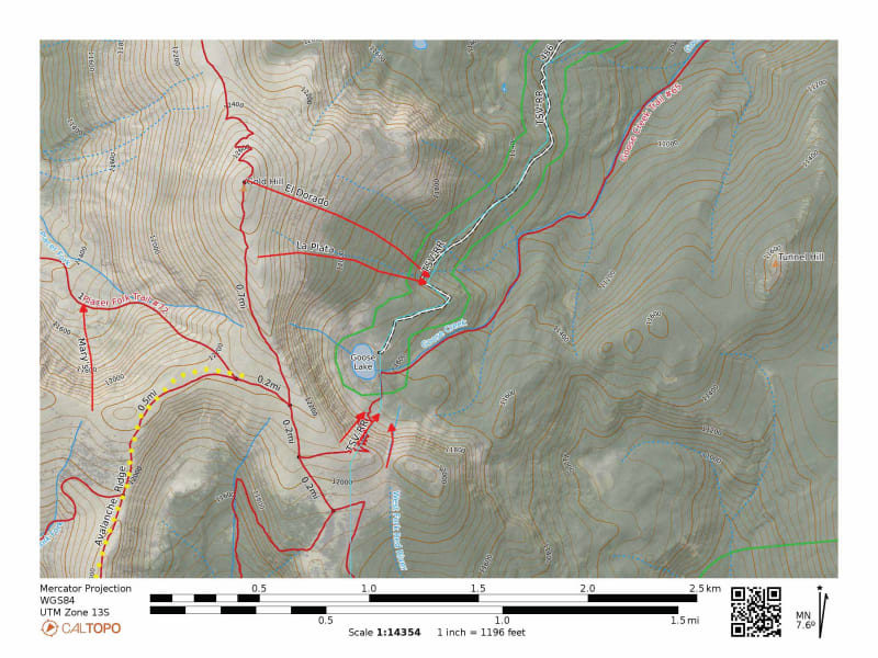
- El Dorado
- La Plata
- Gooseneck
- Grimm's Goose
- Gosling
- Taos to Red River Tour
- La Cal Basin Approach
- Horsethief
- Farrier
- Lost Lake East
- Lost Lake North Couloir
- Avalanche Ridge Approach
- King Solomon
- Asteroid Belt
- Avy Lane
- Slides A Lot
- King Kong
- 7th Wave
- 6th Wave
- 5th Wave
- 4th Wave
- 3rd Wave (Long's End Zone)
- 2nd Wave
- 1st Wave
- Lion's Kill
- Mary's
- Ms. Meadows
- MFRR Approach #1
- MFRR Approach #2
- Double Trigger
- Royal Fork
- Highpointer
- East Rut
- Middle Truchas Approach
- Northeast Chute of Medio
- Coriolus
- Jet Stream
- Contrail
- Supercharger
- The Cleft
- Circumflex
- Nambe Cirque Approach
- Heaven Hill East
- Heaven Hill
- Guph
- High Roller
- Valhalla
- Virvana
- Styx
- Rubicon
- Armageddon
- Mardi Gras
- Charon
- Acheron
- Elbow Macaroni
- Winsor Glades
- Easy Rider
- Powerline
- Cropper
- Split Tail
- NE Cirque Approach
- Icy Spider Couloir
- Cerberus
- 4th of July Couloir
- Northwest Face
- Temptest Bowl
- Prospector Chute
- Claim Jumper
- Telluride
- Pyrite
- Fool's Gold
- Ziggurat
- Pyramid
- Oscura Lake Approach
- 606
- Lobo 440
- Megumi's Memorial Run
- Rogue Waves
- Penitente Approach
- Penitente Chute
- Penitente Couloir
- East Wing
- Red Rocks Approach
- Crow's Nest
- Hidden Bowl
- Hidden Chute
- Hidden Trees
- Red Rocks
- Shadow Line
- Rio Quemado Drainage Approach
- The Gates (AKA Alley)
- Easy Street
- Mail Slot Couloir
- SF Baldy Approach
- Saddlesore
- King Pin
- Ring Them Bells
- Camelot
- Cruz Azul
- Cruz Roja
- Clodhoppers
- West Simpson Saddle Approach
- Ray of Light Couloir
- Crowl's Couloir
- Schiznitz
- Benchmark
- North Face
- Tenesmus
- Northwest Flank
- Sin Nombre Trees
- Point it Chutes
- Kerry's Couloir (AKA West Virginia)
- SE Cirque Approach
- Ohio Couloir
- Quien Sabe
- Palladium
- High Exposure
- Avalanche Ridge Approach
- Snowshoe Approach
- Triple Trees
- Hallway
- Snowshoe Couloir
- The Fingers Approach
- Peace Sign
- South Peace Sign
- Middle Finger
- Ring Finger
- Pinky
- Trampas Lakes Approach
- Climb n' Ski
- Line 31
- Trampadora
- Hide n' Seek
- Sheepshead
- Northwest Face 1
- Northwest Face 2
- WF Santa Barbara Approach
- No Fish
- Go Fish
- Big Kahuna
- East Fork Bowl Approach
- Emergence
- Young Mike
- Old Mike Chute
- Simpson Northeast Face
- Drifters
- Wheeler Direct
- The Mai
- Puffy Trees
- Wheeler Northwest Face
- Catcher's Mitt
- Curveball
- Slider
- Teddy's Chute
- What's Mine Couloir
- What's Yours Couloir
- Coyote Couloir
- Wolf's Den
- Rotten Spine
- Bobcat Bite
- Pup's Den 1
- Pup's Den 2
- Pup's Den 3
- K9
- Althea's Couloir
- Easter Couloir
- Pilar's Plunge
- Enter the Dragon
- Eastern Philosophy
- Wildy 2
- Wildy 2.5
- Big Al's
- 006
- 007