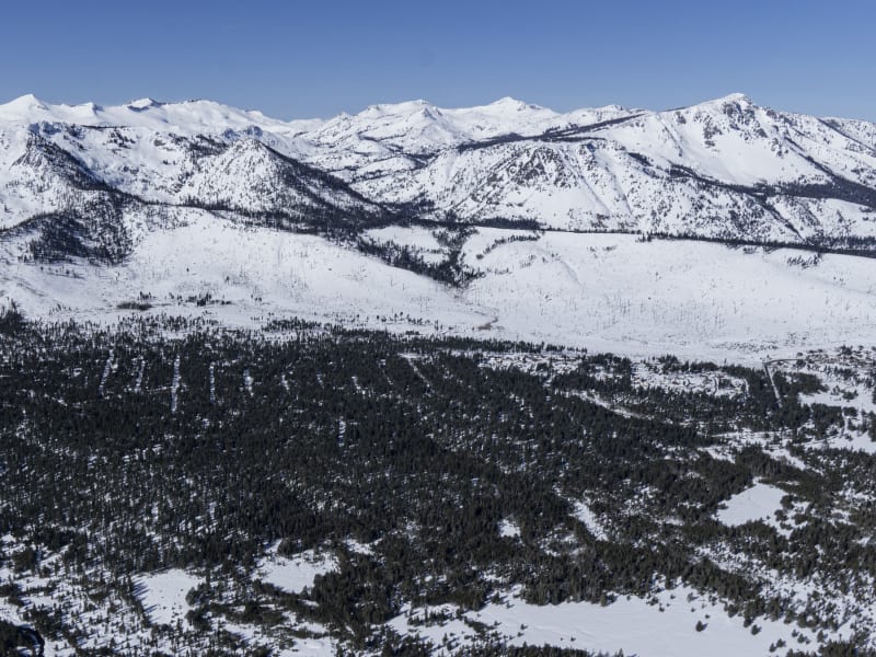
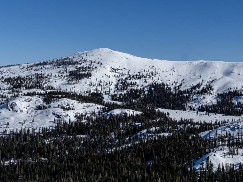
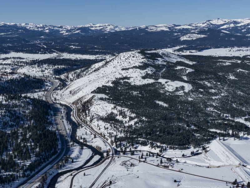
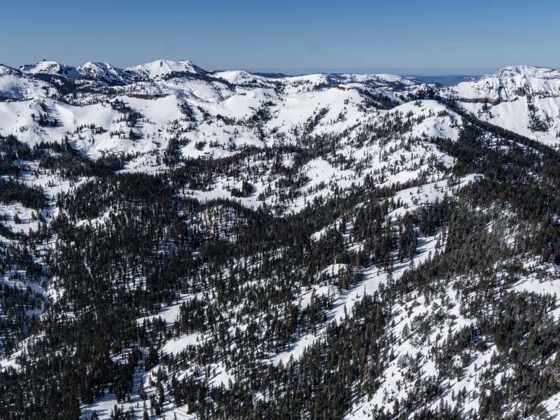
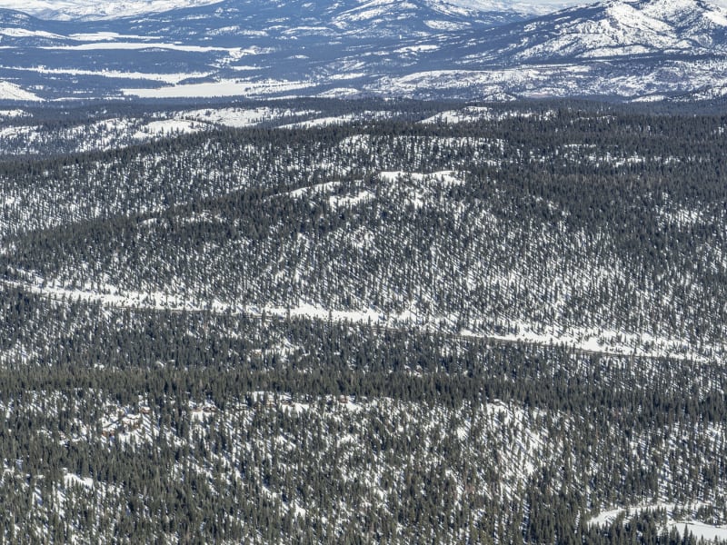
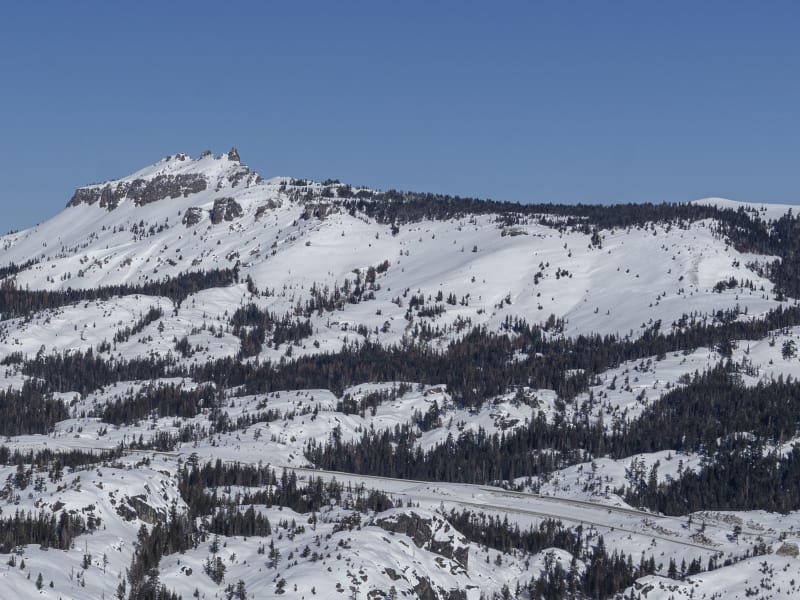
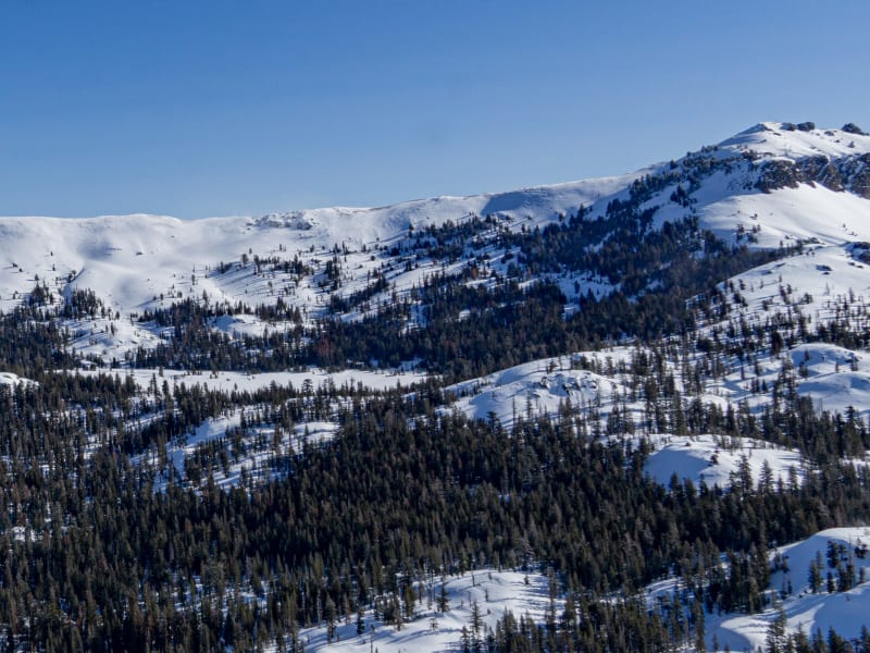
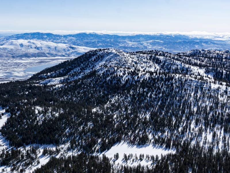
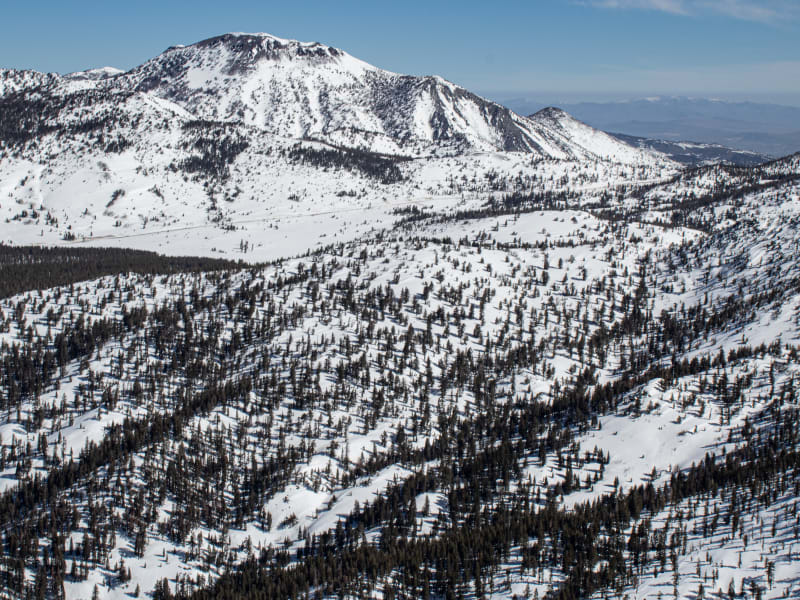
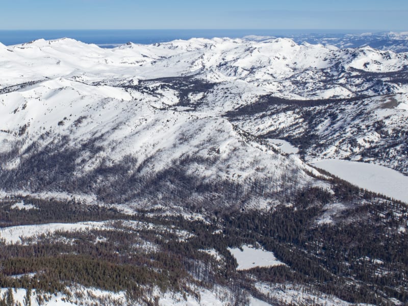
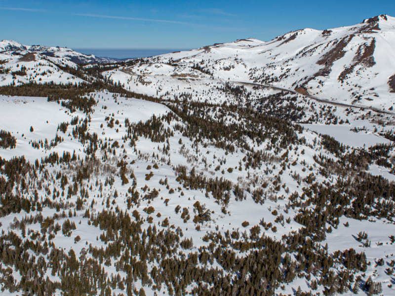
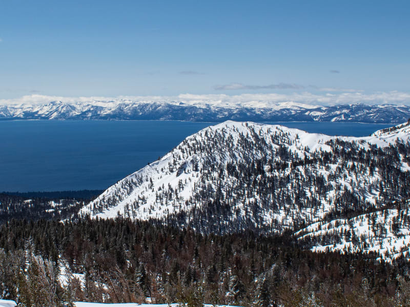
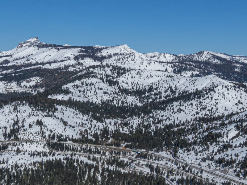
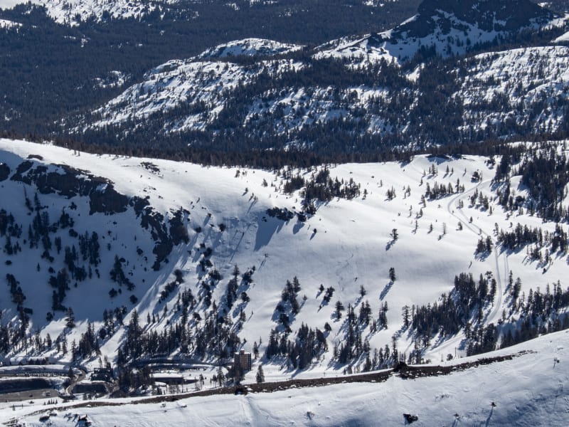
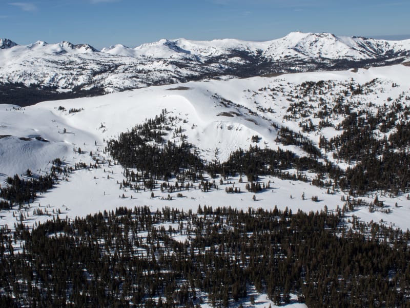
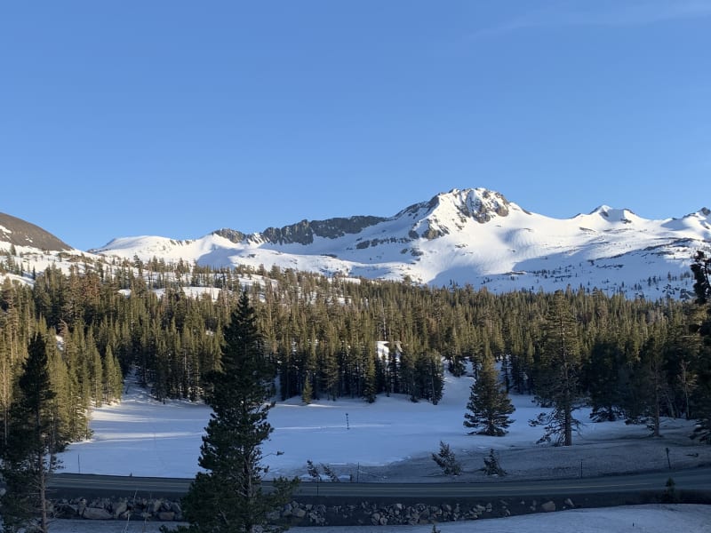
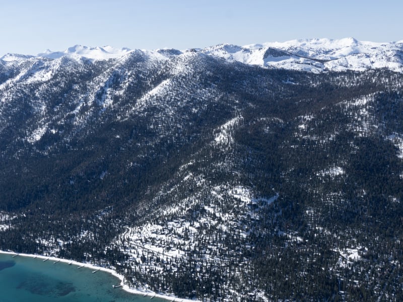
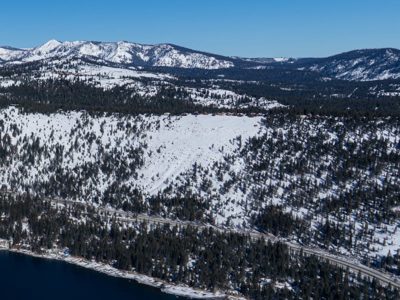
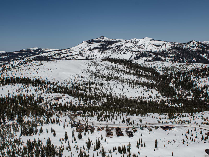
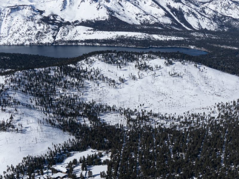
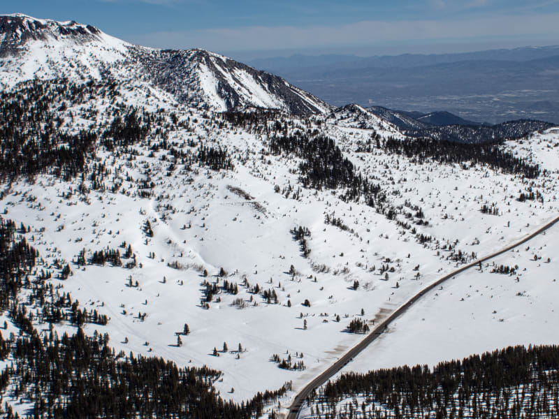
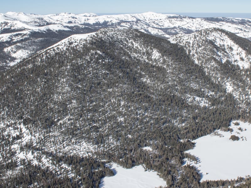
Tahoe
Beacon Guidebooks has partnered with onX Backcountry. Find guidebook quality content for backcountry adventures in Tahoe. Tahoe has 27 zones to explore and 112 routes.
Total Zones
27
Publisher
Beacon Guidebooks
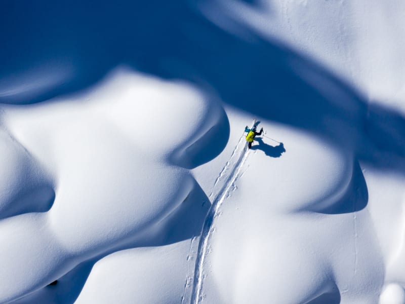
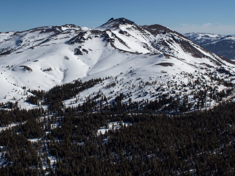
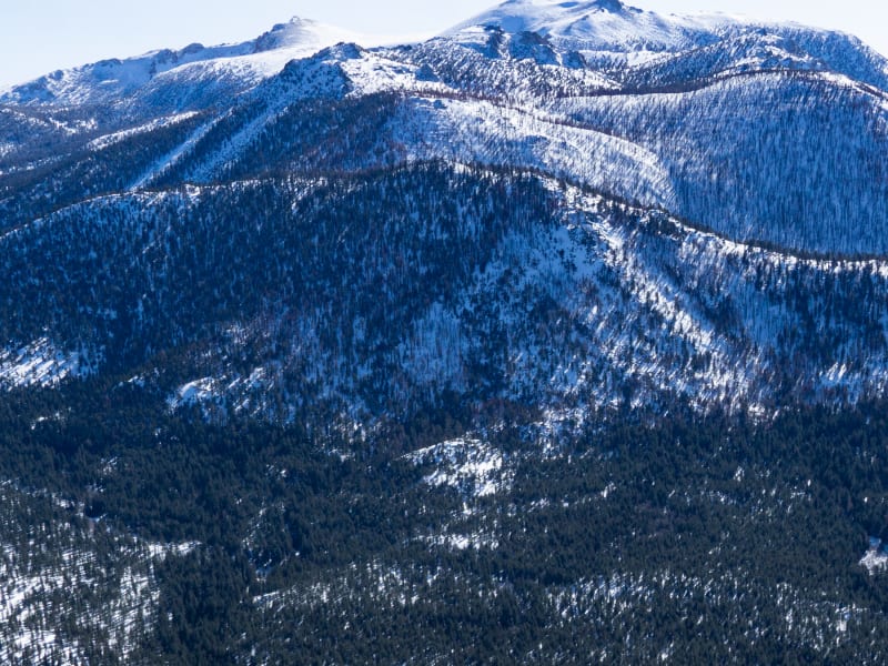
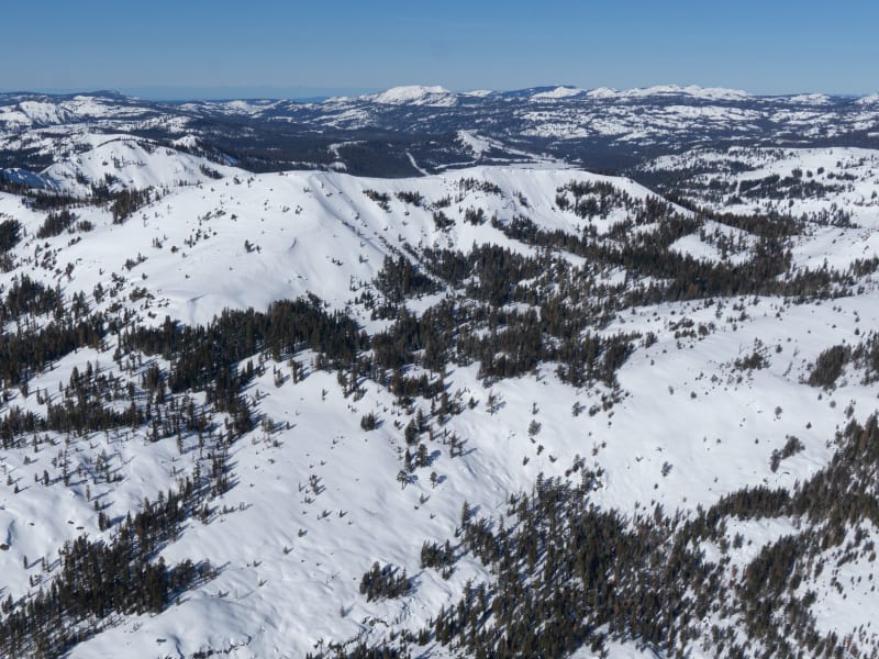
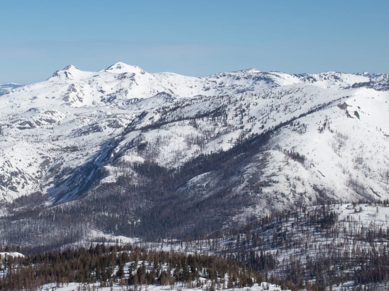
Tahoe Overview
The author and publisher acknowledge that the land described in this atlas is the ancestral home of Native Americans who lived on these lands for thousands of years before the arrival of Europeans. These included the Washoe Tribe, whose ancestral territory surrounded Lake Tahoe. The Washoe considered Lake Tahoe the spiritual center of their world, and thrived in the area until the influx of miners depleted the natural resources during and after the California gold rush and Nevada silver rush. We encourage anyone recreating in these lands to learn more about the history of the Washoe Tribe. Washoetribe.us is a good place to learn more.
Zones Covered
- Angora Ridge Approach
- Lookout!
- Gilmore's Goats
- Meyers Gold
- Basin Peak Approach
- Corkscrew
- Riggs
- South Side Jenny
- Basin Peak Exit
- Boca Hill Approach
- Northeast Face
- East Slopes
- Doug's Delight
- Boca Hill Exit
- Bradley Hut Approach
- Practice Hills
- Bradley Southeast
- Mini Golf East
- Mini Golf Southeast
- Brockway Summit Ascent
- Light Snack
- Full Lunch
- Tour to Martis Peak
- Brockway Summit Exit
- Cornholio Zone Approach
- Cornholio Bowl
- Lunch Spot South Face
- Top to Bottom
- Cornholio Exit
- NW Trees Approach
- West Slopes Descent
- Not-Quite-Northwest Trees
- Exit from Round Valley
- Chickadee Ridge North
- Good Enough for Ed
- First Date
- Chickadee Ridge North Exit
- Chickadee Ridge South Approach
- Chickadee Cognition Lab
- Cheeseburger Run
- Chickadee South Bonus
- Ascent to Becker Peak
- Vade's Glades
- Echo Ridge North descent
- Exit Echo Lake/ Becker
- Elephant's Hump Ascent
- High Hump
- Left Tusk
- Right Tusk
- Center Tusk
- Elephant's Hump Exit
- Incline Lake Peak Approach
- Northeast Glades
- Incline Lake Peak Exit
- Approach to Greg's
- Approach to Al's
- Approach to Spring Chicken
- Gregory's
- AI's
- Spring Chicken
- Johnson Canyon Exit
- Kirkwood Approach
- Never Waste a Morning!
- Kirkwood Exit
- Ascent to Meiss Trees
- Meiss Trees
- CAP (Cornice Avoidance Plan)
- 9452
- West-Facing Descent "Cabin Fever"
- Meiss North Exit
- Meiss South Approach
- Saddle Bag
- Three Fingers
- Go West!
- Meiss South Exit
- Mini Trimmer Ascent
- Mini Trimmer
- Fancy Feet
- Mini Trimmer Exit
- Approach from Judah Lift at Sugar Bowl
- Approach from Donner Pass
- Southeast Slopes
- Judah Bowl
- Judah Exit
- Ralston Peak Approach
- Shake the Snow Off Your Boots
- Round Top Saddle Ascent
- Round Sister Saddle
- Exit from Round Top
- Rubicon Ascent
- Northeast Glades
- 89 Glades
- Skislope Approach
- Skislope Alternate Approach
- Bachman Blitz
- Skislope Exit
- Sunrise Bowl Approach
- Sunrise Bowl
- Tahoe Mountain Approach
- T.M. North
- T.M. East
- T.M. West
- Tamarack Peak Approach
- Skier's Left
- Skier's Right
- Waterhouse North Ascent
- Northeast Glades Left
- Waterhouse Bowl
- Northeast Glades Right
- Waterhouse South Ascent
- Scotts
- Hope Springs Eternal