Silverton
Beacon Guidebooks has partnered with onX Backcountry. Find guidebook quality content for backcountry adventures in Silverton. Silverton has 24 zones to explore and 108 routes.
Total Zones
24
Publisher
Beacon Guidebooks
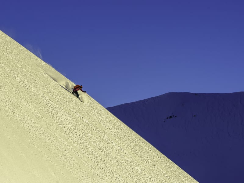
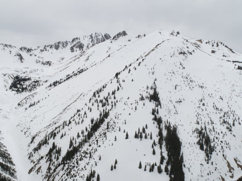
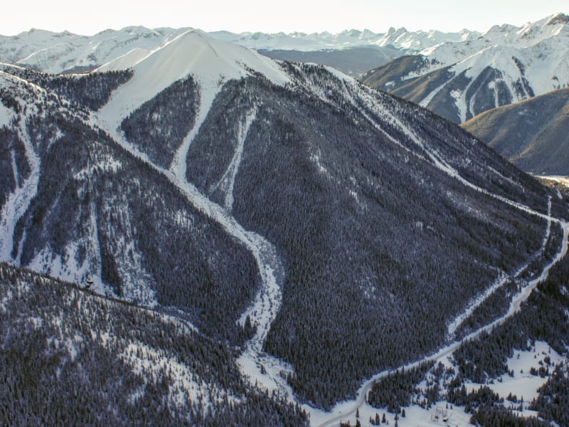
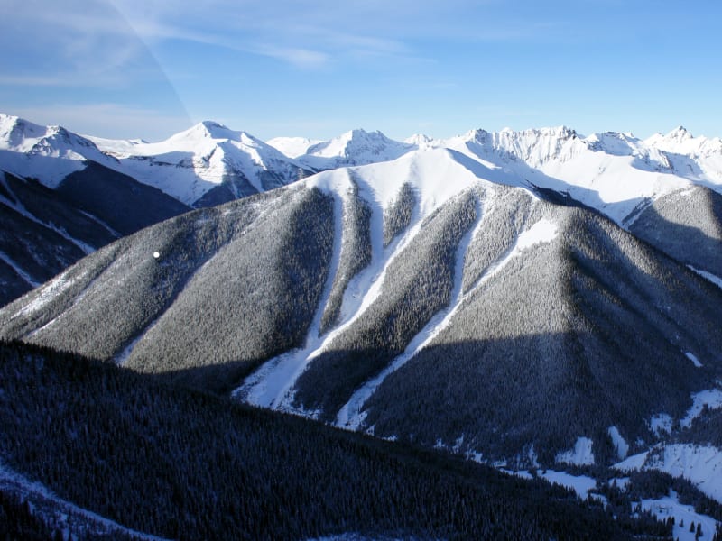
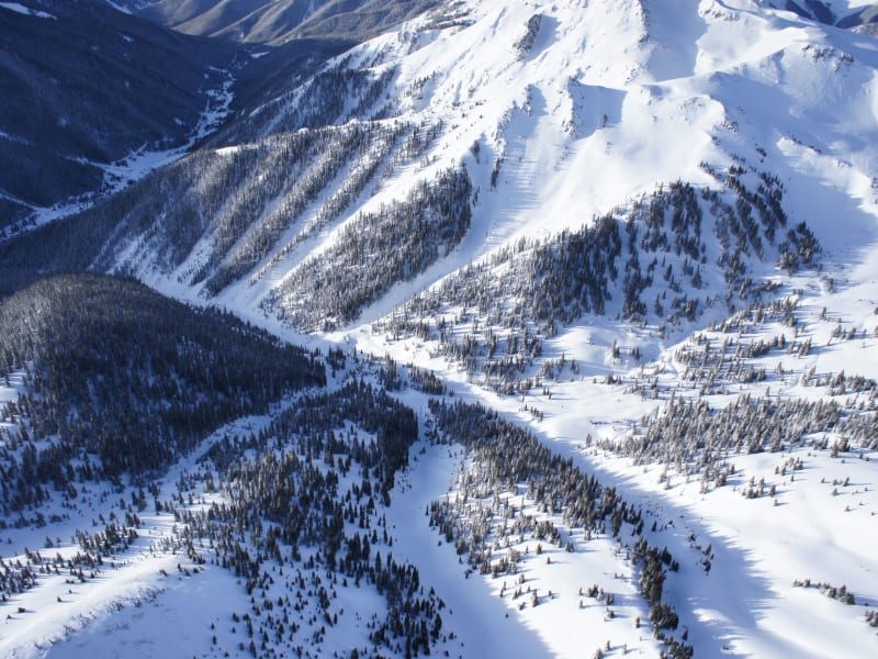
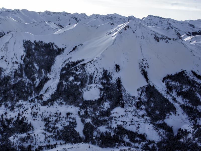
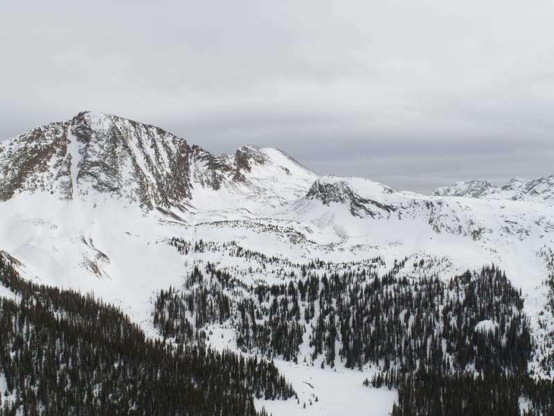
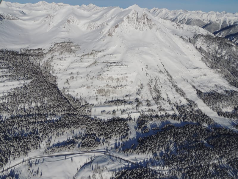
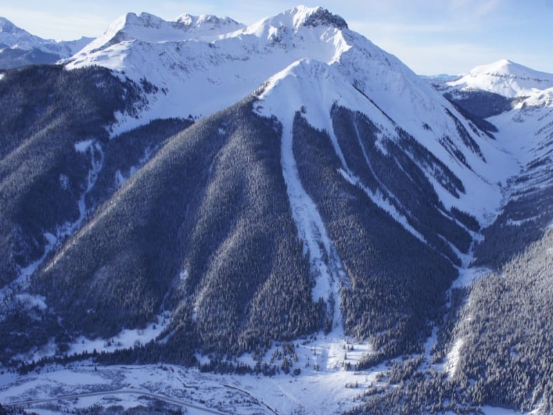
Silverton Overview
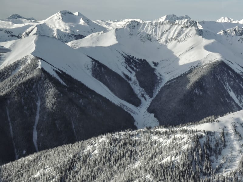
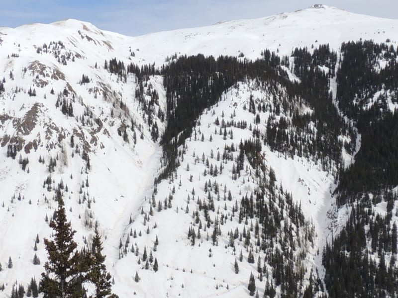
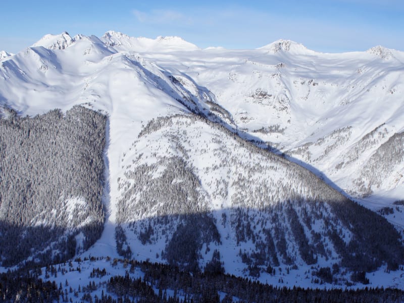
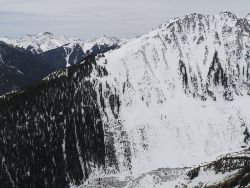
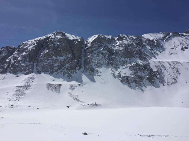
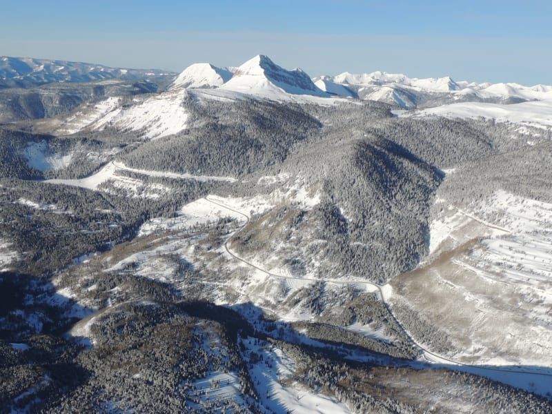
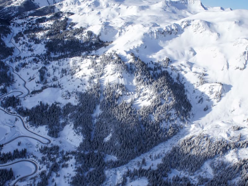
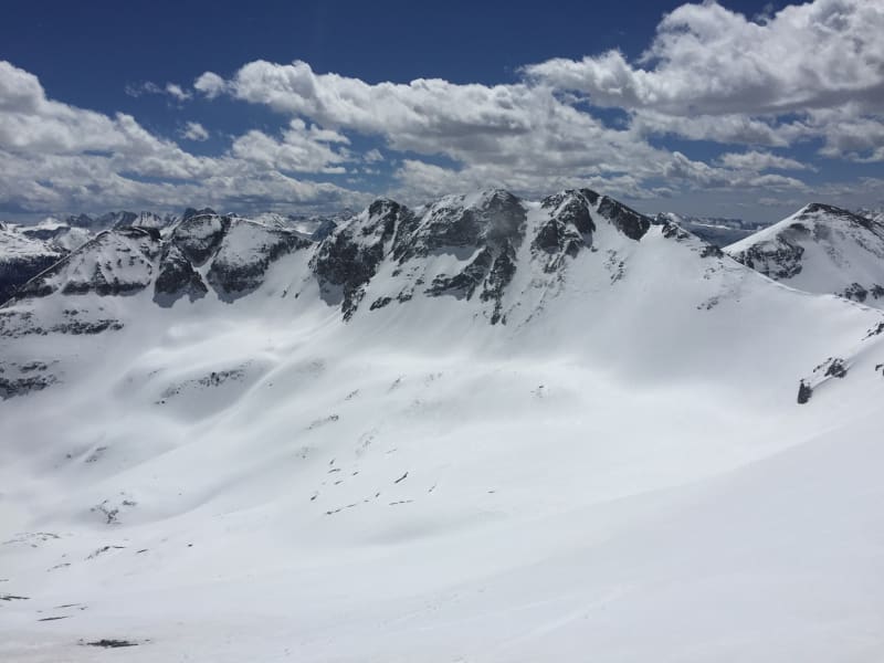
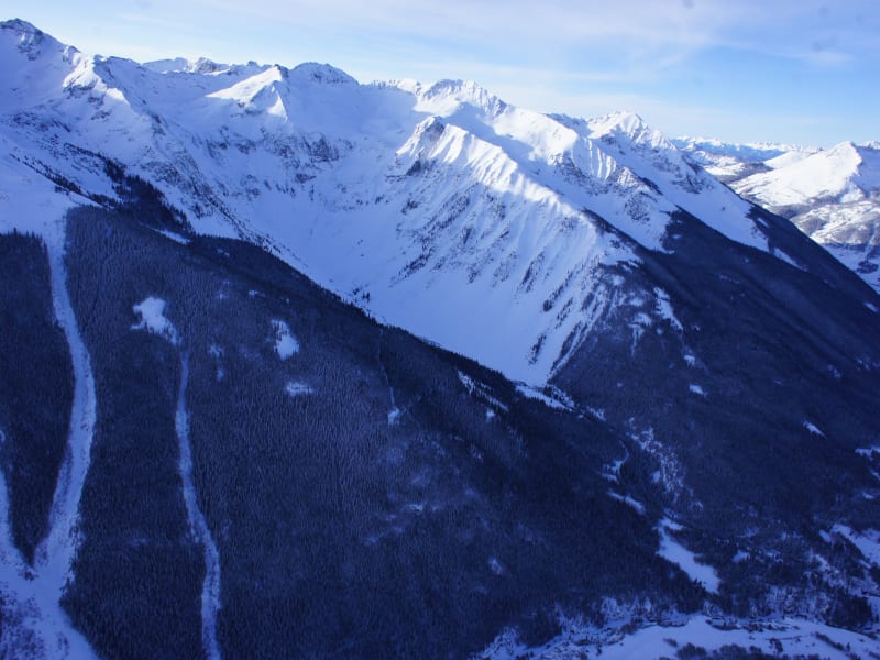
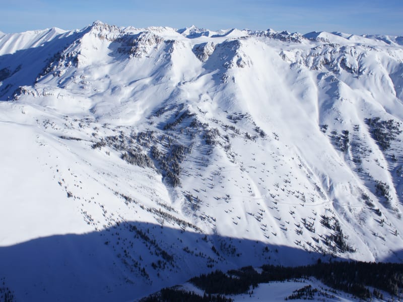
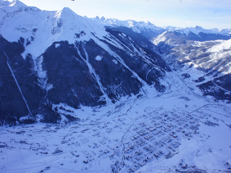
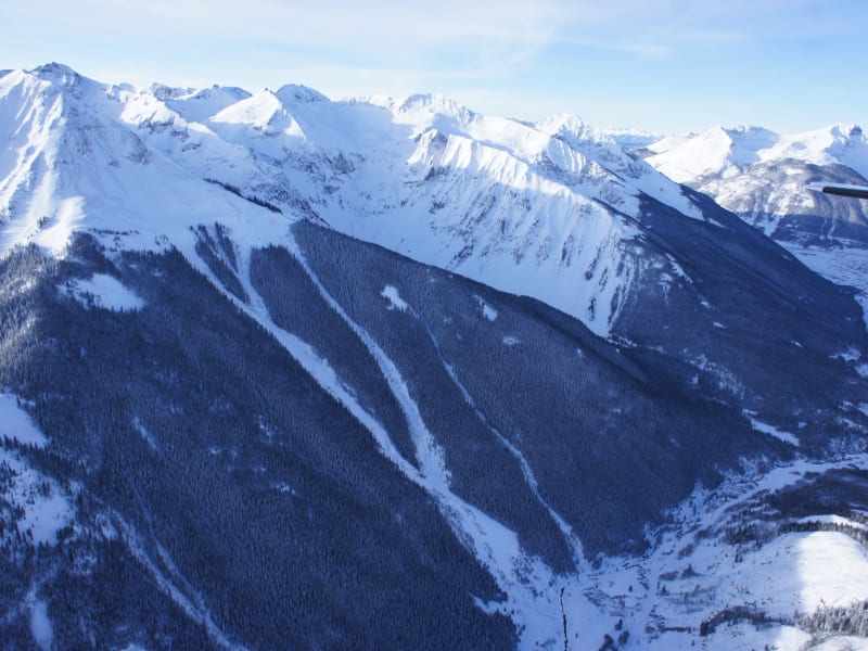
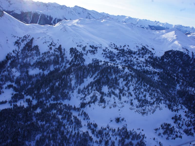
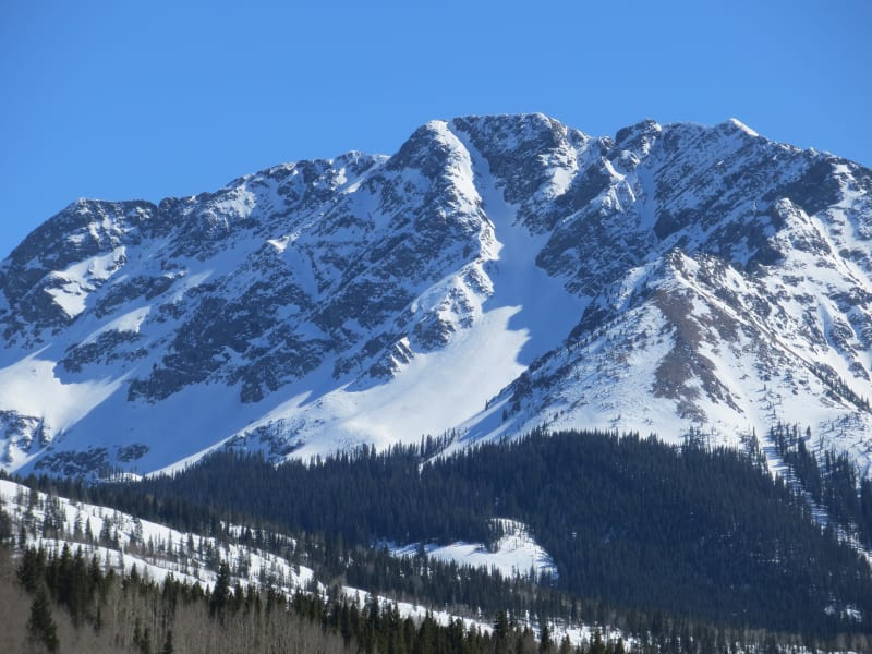
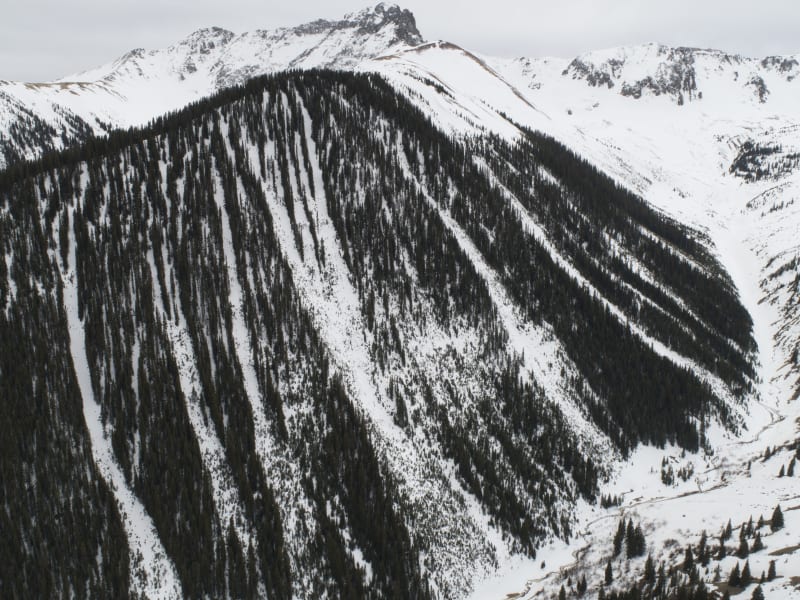
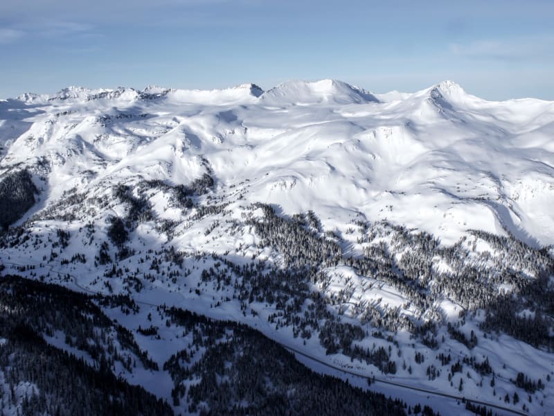
It speaks for itself when it comes to remote and rugged mountain towns of the west. Many mountain ranges do not have a year round maintained road passing through them. The San Juan Mountain Range, from Durango through Silverton and on to Ouray has three; Coal Bank, Molas, and Red Mountain Passes. Highway 550 brings powder-hounds through some of Colorado's most remote and diverse ski terrain. Basins adjacent to Highway 550, also known as the Million Dollar Highway, boast an annual snowfall of 400". The mountains, accessed from Silverton possess some of the largest ski descents in the lower 48, and some of the deepest snow in all of Colorado. The locations showcased in this atlas offer the entire spectrum of terrain and difficulty, from novice to extreme and everything in between. Provided you already have a small amount of experience as a backcountry skier and have completed a Level 1 avalanche course, there is something in this atlas for everyone.
Zones Covered
- Cement Fill
- Ophir Bowl
- Money Shot
- The X
- Shoe String
- Anvil Approach
- Anvil Exit
- Battleship
- South America
- Picklebarrel
- Destroyer
- Africa
- Battleship Approach
- NF of Battleship
- V5
- Battle Scar
- Battle Chutes
- North Face 2.0
- Battleship Approach
- US Basin/Cemetery Approach
- Cemetery Descent
- Imogene
- Sam's Glades
- White Whale Skin Track
- White Whale
- Chattanooga Approach
- Telluride Face
- Chattanooga Beluga
- Glades
- White Whale Skin Track
- Corner Pocket
- Sky Chute 4
- Coin Slot
- Chattanooga North Exit
- Sven's Run
- Clear Lake Couloirs
- South Face Lookout Peak
- Clear Lake Approach
- Coal Creek Approach
- Deer Creek Approach
- Coal Creek
- Deer Creek East Face
- Deer Creek Gully
- Grandparents Approach
- Commodore Exit
- Commodore Approach
- Commodore Descent
- Grandma and Grandpa
- Deadwood Basin Traverse
- Turkey Chute Exit
- Hazelton Approach
- Turkey Chute
- The Nose Approach
- The Nose
- Piper Charlie's
- Hut Approach
- Coyote's Tooth
- Rabbit Ears Approach
- Idaho Gulch
- Kendall Summit Approach
- Rabbit Ears
- King Solomon Exit
- King Solomon Approach
- King Solomon
- US Basin
- McMillan West Ridge
- Putney Approach
- US Basin/Cemetery Approach
- Spring Gulch, AKA Putney
- Oh Boy
- McMillan Approach
- The Office
- Power Line
- Exit to Approach Track
- Exit out Lime Creek
- Lime Creek Descent
- 4th of July Couloir
- Twilight Approach
- Paradise Trees
- Paradise Chutes
- Paradise Approach from Triangle
- Paradise Approach from Trailhead
- Pass West Approach
- Pass West Side
- Prospect Trees
- Prospect Approach From Pass
- Black Jack
- Prospect Gulch
- Upper Prospect
- Lark Mine
- Prospect Approach From Cement
- Red 3 Approach
- West Face
- North Face
- Red 3 Exit
- Naked Lady Couloir
- Snowdon Approach
- Naked Lady Exit
- Wishbone Approach
- Wishbone
- Sultan Creek Exit
- Sultan North Approach
- Pumphouse
- Pencil
- Python
- Sultan North Exit
- The Nose Approach
- The Nose
- Knox's Run
- Paradise Basin
- Triangle Face Approach
- C2 Ridge
- Triangle Face