Berthoud Pass

Beacon Guidebooks has partnered with onX Backcountry. Find guidebook quality content for backcountry adventures in Berthoud Pass. Berthoud Pass has 19 zones to explore and 130 routes.

Total Zones
19

Publisher

Beacon Guidebooks

Berthoud Pass Overview

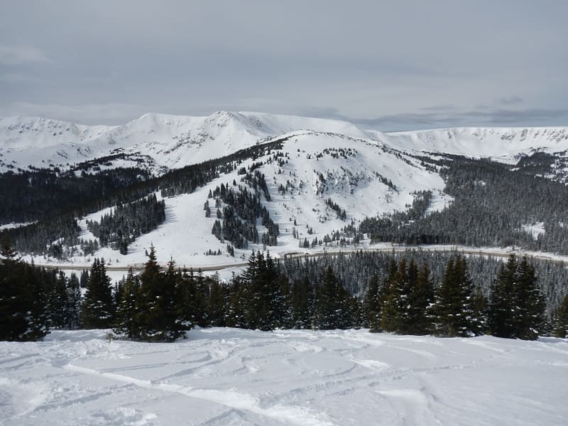
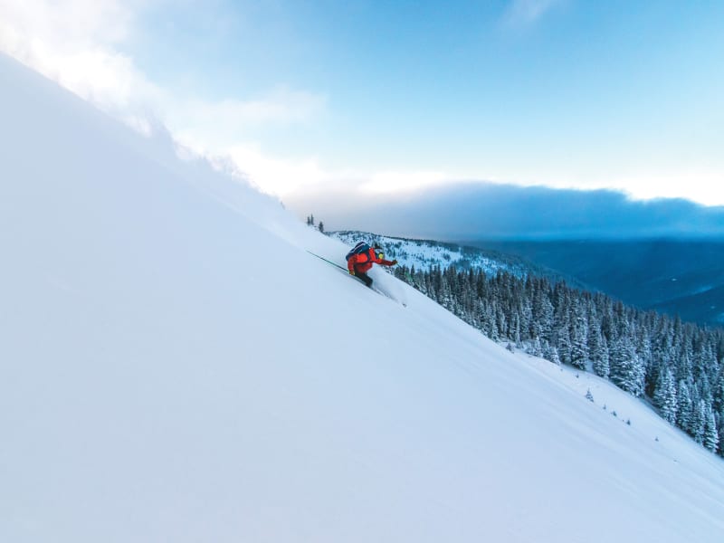
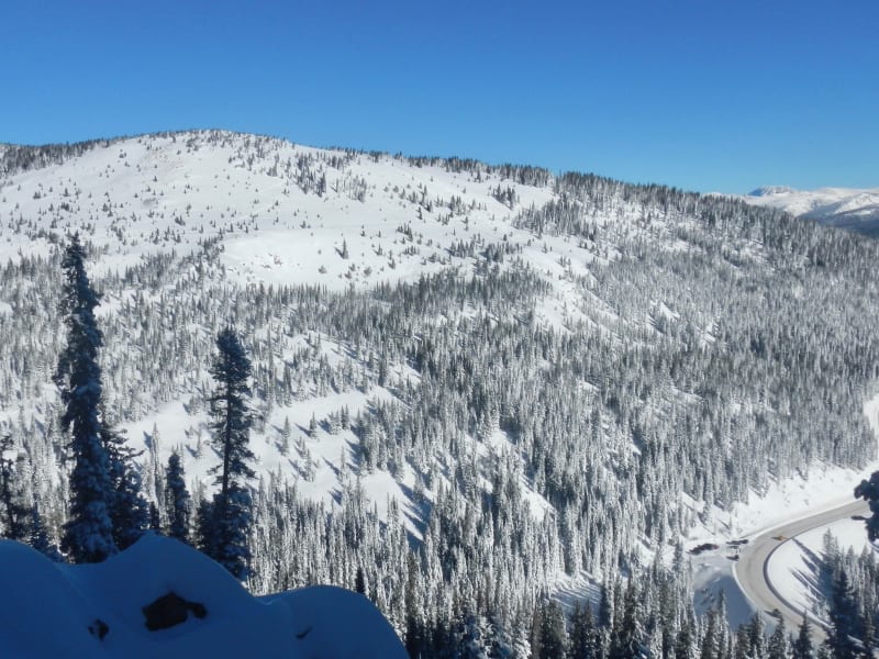
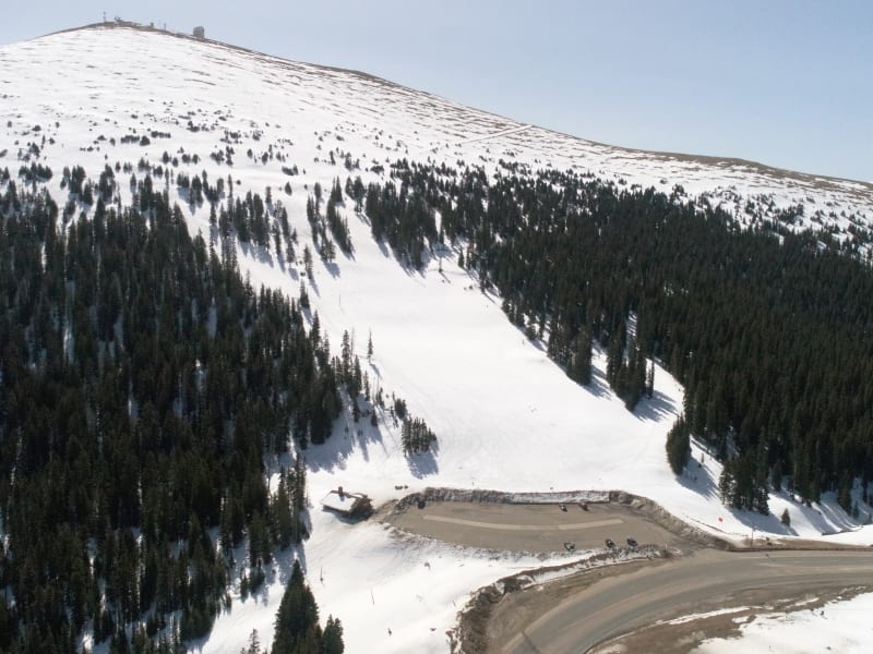
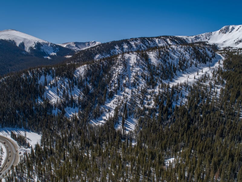
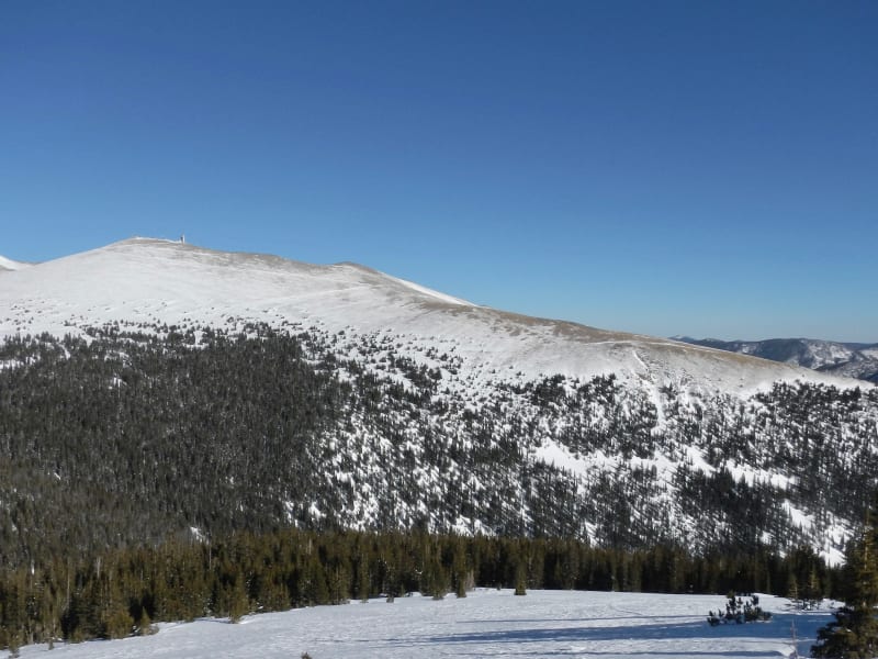
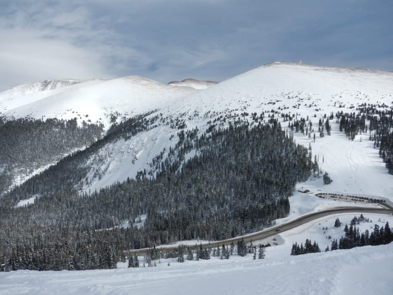
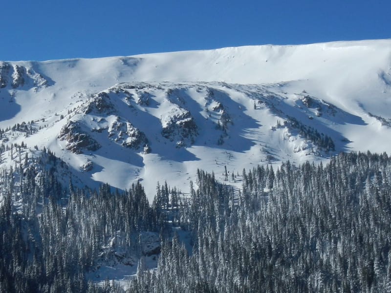
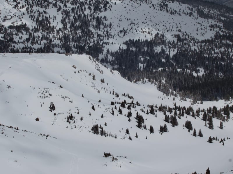
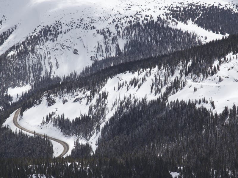
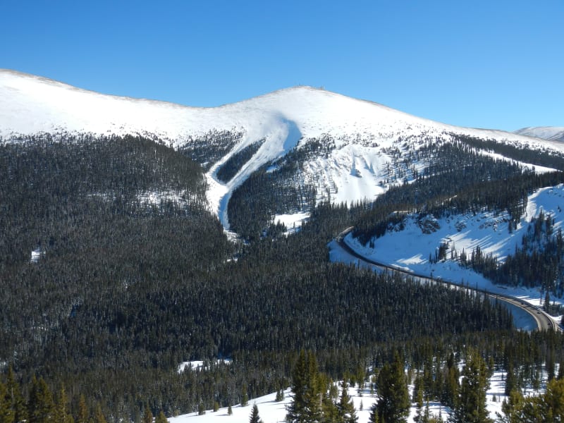
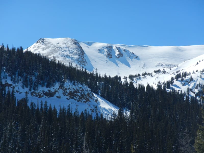
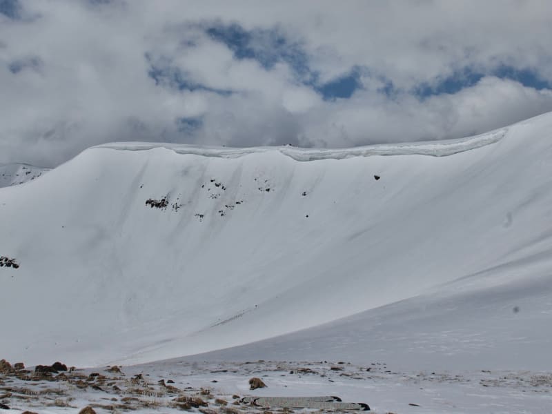
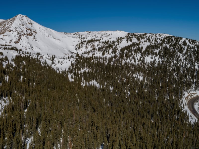
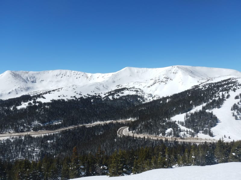
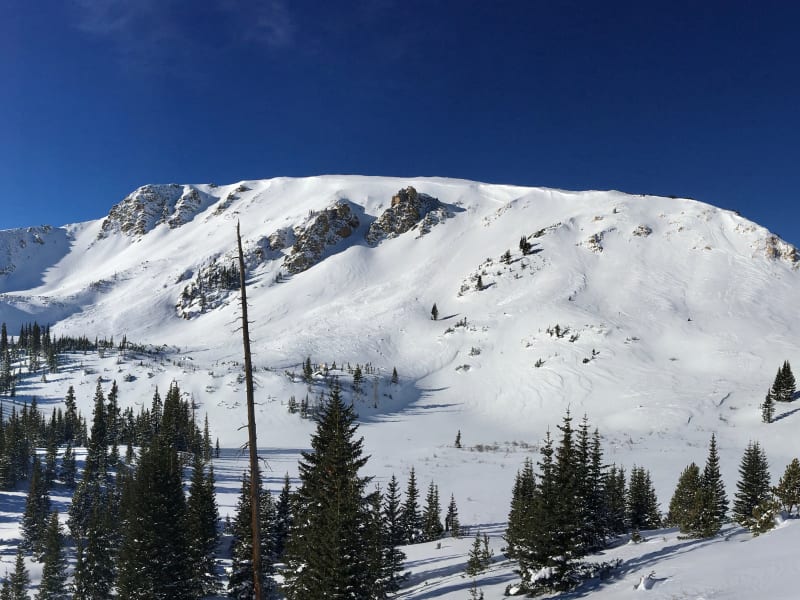
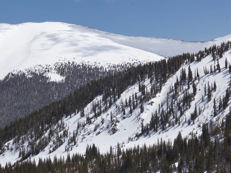
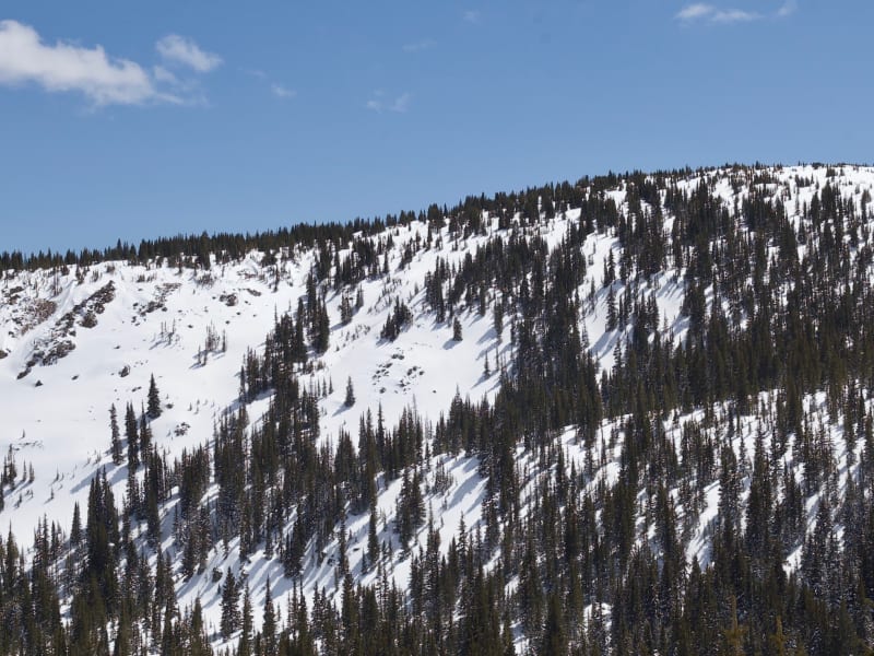
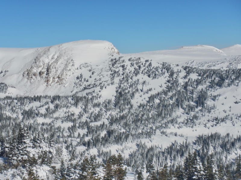
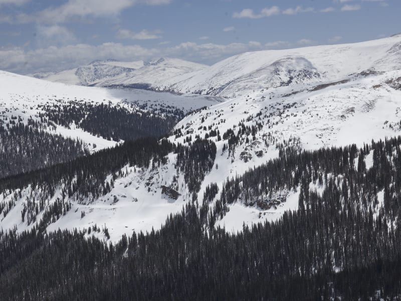
Since the 1930s, skiers have been exploring the slopes surrounding US Highway 40 as it climbs and descends Berthoud Pass. This was the former home of one of Colorado's pioneering ski areas. When it closed, the Pass quickly emerged as the most popular backcountry ski destination on the Front Range. Quick access, a consistent snowpack, and endless discovery continue to draw skiers to Berthoud Pass. The east to west orientation of the Pass, located high above the Fraser River and Clear Creek valleys, attracts a deep snowpack benefiting from both northwest flow and upslope storms. In just over an hour drive from Denver, backcountry skiers have access to numerous trailheads leading into the high basins surrounding the Pass. From pre-work dawn patrols, to car shuttling, to all day epics, Berthoud Pass has an adventure for backcountry riders of all skill levels. The glade skiing, deep powder bowls, and steep couloirs of Berthoud Pass have enough terrain to keep you busy for a lifetime. This guidebook is here to assist you with your Berthoud Pass adventure and it contains insights into over 100 routes. It is easy to use, small enough to carry, and durable enough to withstand food and beer stains from post riding barbeques at the Pass.

Zones Covered

110's
Routes
7
ATES Level
2
General Aspect
E,SE,S
There is a reason why there is a route on the 110s called “Perfect Trees”. The 110s have the best tree skiing on Berthoud Pass combined with long runs. The 110s area is also a great spot to scope out the 80s, 90s, and Hidden Knoll terrain. The 110s face east and south; snow conditions can become quickly influenced by the sun. Get here early on a powder day for laps on the best tree skiing on the Pass. The Berthoud Pass Ditch bisects the 110s area and you can use it to traverse into Second Creek to the north or to Hidden Knoll to the south. By mid-winter the Ditch may not be as obvious due to being buried under the snowfall. The top of the 110s, Point 11,721’, shares a summit with the north-facing routes of Second Creek Ridge.
Routes
  • 110's Approach
  • Perfect Trees
  • Tea Cup Bowl
  • Middle 110's
  • Lower 110's
  • 110's Cliffs
  • 110's Exit
East Side
Routes
7
ATES Level
1
General Aspect
W,NW
This is the east side of the old Berthoud Pass ski area. The lines directly above the parking lot are mellow and a great place to take someone who is new to backcountry skiing. By mid-winter there are kickers built on these slopes that provide entertainment. Mines Peak looms above the East Side and backcountry enthusiasts can quickly climb to this summit directly from the parking lot. Powder Line is used as the primary ascent route to East Side, Hell’s Half Acre, and Mines Peak.
Routes
  • East Side Approach
  • Colorado Mines Peak
  • Powder Line
  • Bonanza
  • Bell Trail/Dunn's Run
  • CDT East
  • East Side Exit
First Creek Ridge
Routes
10
ATES Level
3
General Aspect
N,NE,E
First Creek is another prime example of the vast terrain that the Berthoud Pass area provides to backcountry skiers and snowboarders. You could spend a whole season exploring the upper and lower reaches of the drainages leading to First Creek. First Creek Ridge is the most obvious terrain in this valley as it is visible from Highway 40 and has a short and direct approach. Chimney Chute is the crown jewel of this area and you look straight at it from the parking lot.
Routes
  • First Creek Ridge Approach
  • Parking Lot Glades
  • Slot Trees
  • First Creek Cliffs
  • Chimney Chute
  • Chimney Chute Glades
  • Paradise
  • First Creek Ridge
  • Bench Glades
  • First Creek Ridge Exit
Floral Park
Routes
8
ATES Level
2
General Aspect
S,SW,W
Floral Park is the expansive, gladed zone that skiers and snowboarders easily view when driving north on Highway 40 from Empire. As one approaches Berthoud Pass there are several views and indicators that Floral Park is near. The first is the queue of hitchhikers waiting for a ride at the outlet of the Floral Park runs. Further up the highway and before the Pass there are several views into Floral Park. The runs in Floral Park are easily accessible from the Berthoud Pass summit parking lot. Combine this access with the exit onto Highway 40's switchback and it becomes a popular area to ski and then hitchhike back up. As you drive up Highway 40 to the Pass, help a hitchhiking brother or sister out with a ride. The terrain within Floral Park ranges from moderately steep tree skiing to avalanche slopes. This is some of the best backcountry tree-skiing on Berthoud Pass.
Routes
  • Floral Park Approach
  • Hoop Creek
  • Telegraph
  • Jim's Glades
  • Floral Park
  • Floral Meadow
  • Fairway
  • Floral Park Exit
Hell's Half Acre
Routes
11
ATES Level
3
General Aspect
NW,N
When the ski area was operating, these runs ended at a shuttle stop at the second switchback on the north side of Highway 40. Many of the routes in Hell’s Half Acre are steep and committing, and also highly accessible. There are several great choices for dawn patrol powder runs that can be quickly gained from Berthoud Pass. There is a cut through the trees called Highway to Hell between Shop Chutes and High Trail Trees that acts as a major landmark here. The steep and windswept High Trail Cliffs occupy the north end of the zone.
Routes
  • Hell's Half Acre Approach
  • The Fingers
  • The Knuckle
  • The Choke
  • North Chute
  • Sentinel Chute
  • Hanging Meadow
  • High Trail Trees
  • Shop Chutes
  • Hell's Half Acre
  • Hell's Half Acre Exit
Hidden Knoll
Routes
8
ATES Level
3
General Aspect
N,NE
Hidden Knoll is situated in the Current Creek drainage below Mount Russell, and it requires an approach using skins or snowshoes. The distance from the hustle and bustle of the Pass means fewer people. Add the high quality couloirs and the great views of Current Creek and it quickly becomes a favorite of local backcountry skiers. This area is all about bowl and chute skiing!
Routes
  • Hidden Knoll Approach
  • Hidden Knob
  • Y Chute
  • Z Chute
  • X Bowl Right
  • X Bowl Left
  • Moonlight Bowl
  • Hidden Knoll Exit
Hidden Knoll South
Routes
4
ATES Level
2
General Aspect
E,SE
Hidden Knoll is truly hidden from view. The best places to see the Knoll are from the 110s area in Current Creek and Mount Russell. Hidden Knoll is situated in the Current Creek drainage below Mount Russell, and it requires an approach using skins or snowshoes. The distance from the hustle and bustle of the Pass means fewer people. Add the high quality couloirs and the great views of Current Creek and it quickly becomes a favorite of local backcountry skiers. This area is all about bowl and chute skiing!
Routes
  • Hidden Knoll South Approach
  • Halfpipe
  • South Chutes
  • Hidden Knoll South Exit
Lower 80's and 90's
Routes
8
ATES Level
3
General Aspect
N,NE
The 80's and 90's zone is some of the most popular steep-skiing terrain at Berthoud Pass. This area is easily visible when driving south on Highway 40 and it is reasonable to use a car shuttle or hitchhike to access these steep routes. The Berthoud Pass Ditch bisects the 80's and 90's and this allows for the easier access. Skiers and snowboarders can also access this terrain from the top of Berthoud Pass’ West Side.
Routes
  • Lower 80's and 90's Approach
  • 80's
  • Rock Garden
  • Vigilante
  • 90's
  • Outlaw
  • Launch Pad
  • 80's and 90's Exit
Mines Peak
Routes
6
ATES Level
3
General Aspect
W,NW,N
The ski routes in the Frasier River drainage extending from Mines Peak are some of the bigger backcountry descents at Berthoud Pass. This is consequential avalanche terrain containing challenging terrain traps. The Mines 1 and Mines 2 avalanche paths frequently slide and these avalanches can be massive and catastrophic. This area is also far from the Pass and requires a climb back up to Hells Half Acre, or a 3 mile ski down the Seven Mile trail to a shuttle.
Routes
  • Mines Peak Approach
  • Vortex
  • Mines 1
  • Mines 2
  • The Shoulder
  • Mines Peak Exit
Mt. Russell
Routes
6
ATES Level
3
General Aspect
NE
The terrain in the Mount Russell zone is a beacon calling all Berthoud Pass backcountry skiers and riders to climb higher. This peak holds several of the Pass’s more obvious steep lines. The North Chutes are very popular runs descending into Current Creek. These Chutes, along with Russell Face, were out-of-bounds terrain of the old ski area. At the time this terrain was accessed with the support of a guiding service.
Routes
  • Mt. Russell Approach
  • North Chutes Right
  • North Chutes Middle
  • North Chutes Left
  • Current Creek Bench
  • Mt. Russell Exit
No Name
Routes
5
ATES Level
3
General Aspect
E,SE,S
No Name Peak catches the eye of backcountry skiers and snowboarders from several vantages on Berthoud Pass. The peak is tucked away to the southwest away from the hustle and bustle of the Pass. No Name’s namesake route is a direct plumb line shot down the snowy face.
Routes
  • No Name Approach
  • Oatmeal Bowl
  • No Name Cirque
  • No Name
  • No Name Exit
Pumphouse Basin North
Routes
5
ATES Level
1
General Aspect
SE,S
Pumphouse Basin is a great place to ski lower-angle terrain in the mid-winter. The upper glades of Pumphouse Basin, called Placer Basin and Trapper Glades, are accessed via the West Side skin track. This south-facing terrain can be a fabulous ski after a significant snow storm and before the sun develops a surface crust on the snow. The south side of Pumphouse Basin hosts terrain that ranges from extreme faces to mellow powder runs. Russell Face was the terrain hosting the finals of the Berthoud Pass Bad Ass big mountain competition. This complex pyramid face may be safer to ski with spring snow conditions. On the other side of the basin is quiet No Name Bench. This north-facing zone does not see as much traffic as other areas of the Pass.
Routes
  • Pumphouse Basin Approach
  • Russell Basin
  • Placer Basin
  • Trappers Glades
  • Pumphouse Basin Exit
Pumphouse Basin South
Routes
4
ATES Level
3
General Aspect
NE,E,SE
Pumphouse Basin is a great place to ski lower-angle terrain in the mid-winter. The upper glades of Pumphouse Basin, called Placer Basin and Trapper Glades, are accessed via the West Side skin track. This south-facing terrain can be a fabulous ski after a significant snow storm and before the sun develops a surface crust on the snow. The south side of Pumphouse Basin hosts terrain that ranges from extreme faces to mellow powder runs. Russell Face was the terrain hosting the finals of the Berthoud Pass Bad Ass big mountain competition. This complex pyramid face may be safer to ski with spring snow conditions. On the other side of the basin is quiet No Name Bench. This north-facing zone does not see as much traffic as other areas of the Pass.
Routes
  • Pumphouse Basin Exit
  • Pumphouse Basin South Approach
  • No Name Bench
  • Russell Face
Second Creek Headwall
Routes
8
ATES Level
3
General Aspect
NE,E,SE
The Second Creek Headwall looms above the Broome Hut and hosts several of Berthoud Pass’ classic but dangerous couloirs. The Headwall is accessible from the Hut’s approach trail or from the Current Creek 110s Postage Stamp. You can catch a quick view of the Headwall while driving south on Highway 40 between First Creek and Second Creek trailheads.
Routes
  • Second Creek Headwall Approach
  • Corner Pocket
  • Frankenstein
  • Brides of Frankenstein
  • Second Creek Headwall
  • Hourglass
  • Headwall North
  • Second Creek Headwall Exit
Second Creek Ridge East
Routes
7
ATES Level
2
General Aspect
N,NE
Skiing and riding Second Creek Ridge is an acquired taste. The runs are short and the snowpack is often shallow. The western side of Second Creek Ridge is a windward slope and rock sharks lurk under the surface to deliver core shots and blown edges. The closer you are to the Second Creek trailhead the more the ridge is pointed northeast and leeward facing and thus collects more snow. The ridge is bisected by the Berthoud Pass Ditch, but the road cut of the Ditch is less obvious here compared to the impression it leaves in the 80s and 90s sector.
Routes
  • Second Creek Approach
  • Narnia Woods
  • Aqueduct Drop
  • Core Shot
  • Center Chute
  • Facet Factory
  • Second Creek Exit
Second Creek Ridge West
Routes
5
ATES Level
2
General Aspect
N,NE
Skiing and riding Second Creek Ridge is an acquired taste. The runs are short and the snowpack is often shallow. The western side of Second Creek Ridge is a windward slope and rock sharks lurk under the surface to deliver core shots and blown edges. The closer you are to the Second Creek trailhead the more the ridge is pointed northeast and leeward facing and thus collects more snow.
Routes
  • Second Creek Exit
  • Second Creek Ridge West Approach
  • Blown Edge
  • Escape Hatch
  • Corner Pocket Trees
Upper 110's
Routes
4
ATES Level
3
General Aspect
SE,S
The Upper 110's zone sits at the headwaters of Current Creek. The v
Routes
  • Upper 110's Approach
  • Postage Stamp
  • Upper 110's
  • Upper 110's Exit
Upper 80's and 90's
Routes
9
ATES Level
3
General Aspect
NW,N,NE
The 80s and 90s zone is some of the most popular steep-skiing terrain at Berthoud Pass. This area is easily visible when driving south on Highway 40 and it is reasonable to use a car shuttle or hitchhike to access these steep routes. The Berthoud Pass Ditch bisects the 80s and 90s and this allows for the easier access. Skiers and snowboarders can also access this terrain from the top of Berthoud Pass’ West Side.
Routes
  • West Side/Upper 80's and 90's Approach
  • 80's and 90's Exit
  • Flume
  • Top Secret
  • Hourglass Cliffs
  • Wiebel's Wobble
  • Nelson's Folly
  • Coconut Ridge
  • Skull Bite
West Side
Routes
12
ATES Level
2
General Aspect
N,NE,E,SE
This is the West Side of the old Berthoud Pass Ski area. The lifts and lodge are gone but it feels like the Pass sees as many skiers today as when the ski area was last open for lift service. The West Side is a popular area and has quick access to a high point that enables you to drop into many zones including Pumphouse Basin, Current Creek, the 90s, or down the West Side and back to the Pass. The West Side Cliff area, which include the cliffs running from Rush Chute to Nitro Chute, was used by the old ski area for the Berthoud Pass Bad Ass big mountain series.
Routes
  • West Side/Upper 80's and 90's Approach
  • Wyskis Wonder
  • CDT West
  • Mainline
  • Triple Rock
  • The Plunge
  • Lift Gully
  • Rush Chute
  • Nitro Chute
  • The Roll
  • The Meadows
  • West Side Exit