National Geographic + onX Backcountry
Maximize your outdoor adventures with onX Backcountry. Whether you’re planning a hike off the beaten path, looking for a new mountain biking trail, or exploring new terrain, onX Backcountry is the ultimate GPS navigation app, purpose-built for all your outdoor pursuits!
Exclusively for National Geographic Subscribers
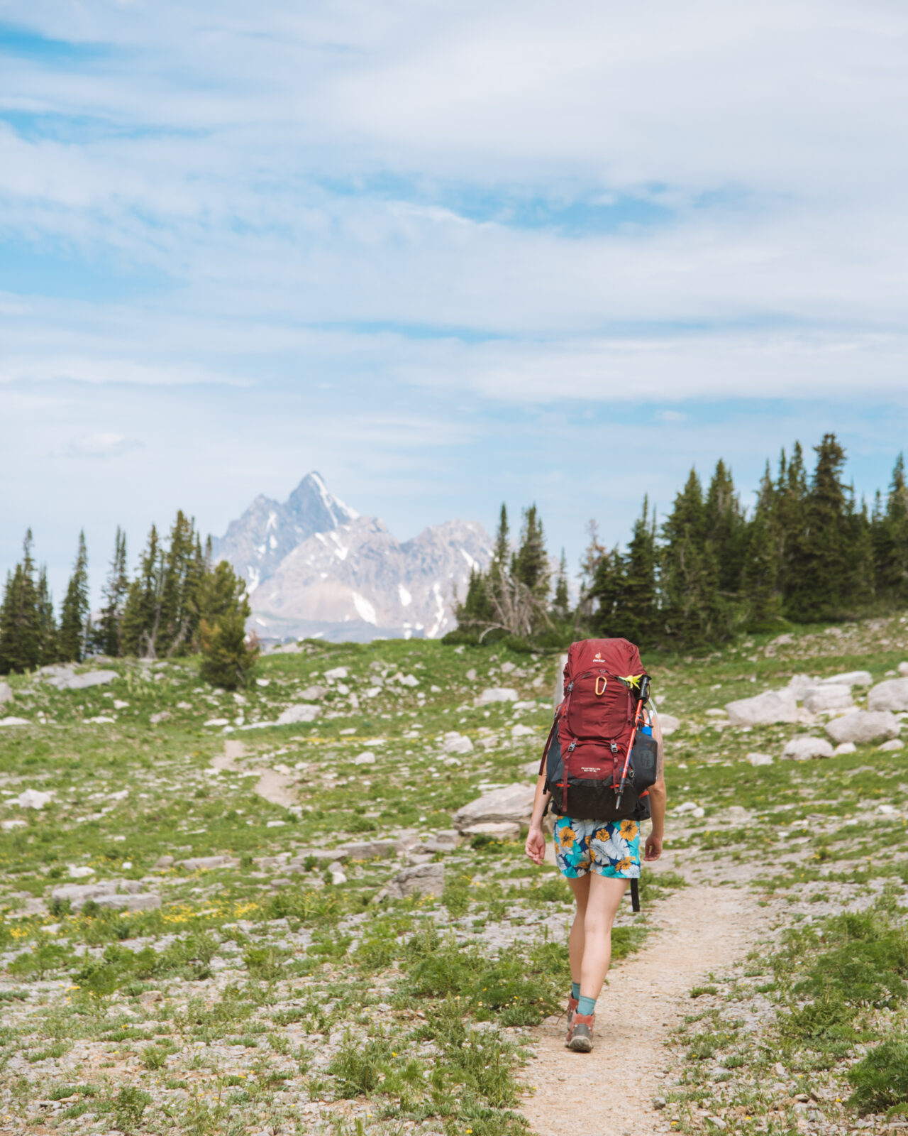
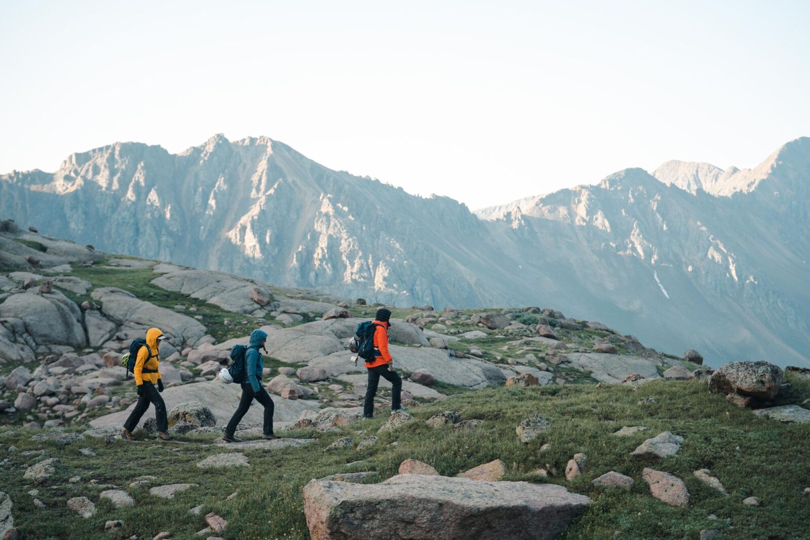
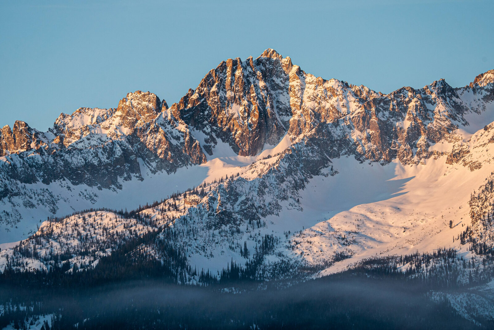
A Tool for Every Pursuit 
The onX Backcountry App is the ultimate tool for your next adventure. No matter how you’re exploring the outdoors — whether it’s skiing down a snowy mountain this spring, escaping to the desert for some early season mountain biking, itching for the rock to dry out and go climbing, or planning a summer backpacking trip — use onX Backcountry to find routes, navigate terrain, save maps, find public land, and access thousands of recreation points all year long. Explore:
- 650,000 Miles of Hiking Trails
- 167,000 Miles of Mountain Bike Trails
- 3,300 Backcountry Ski and Snowshoe Routes
- 66,735 Climbing Areas
And more terrain added every year.
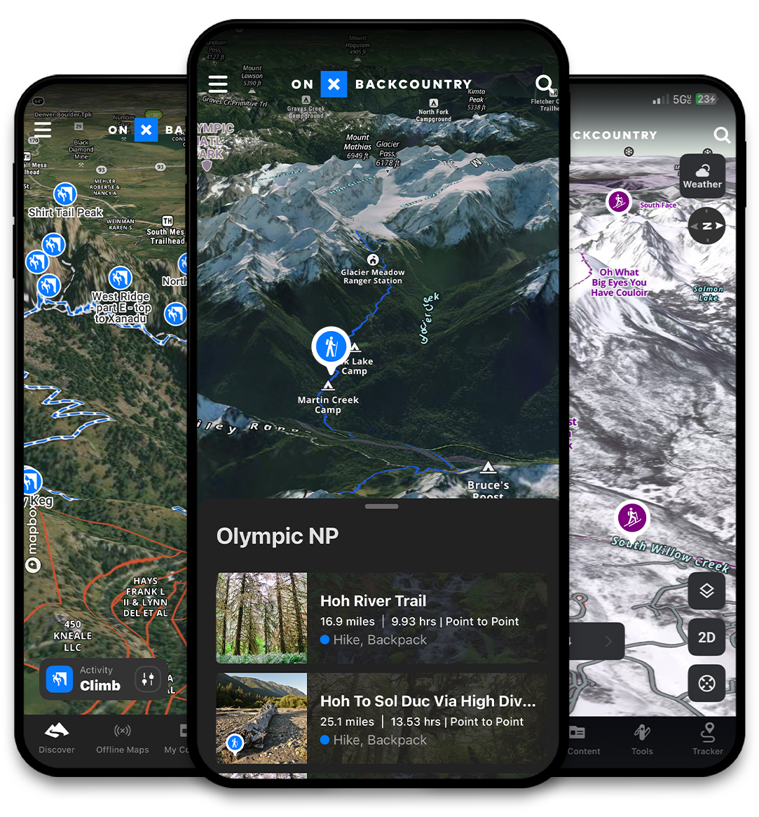
Ensure Complete Coverage by Downloading Maps for Offline Use 
Heading out of service and looking to cover some ground? Download maps and find your way forward in even the most remote terrain, far from cell service.
Prevent gaps in map coverage, find freedom to plan day trips or pivot in the backcountry, and ensure continuous navigation.
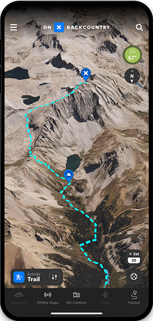
See the Path Ahead with 3D Mapping 
Don’t like surprises? Explore your route using 3D basemap to understand exactly what kind of terrain you’re heading into — available in both online and downloaded maps.
Combine 3D mapping with Satellite, Topo, and Hybrid basemap layers so that you can head into the backcountry with confidence.

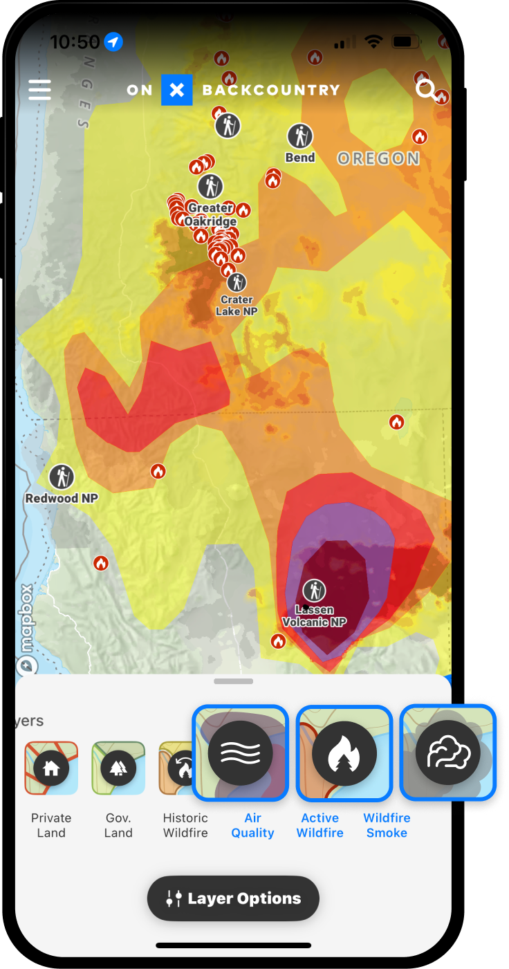
Breath Fresh Air with Smoke Layers 
Planning your next hike or ride, but mother nature has other plans? Use Condition Layers to locate active wildfires, wildfire smoke, and check air quality so that you can find clean air — especially during wildfire season.
Enable conditions layers from the map settings to see air quality and ensure you’re heading into safe, breathable conditions.
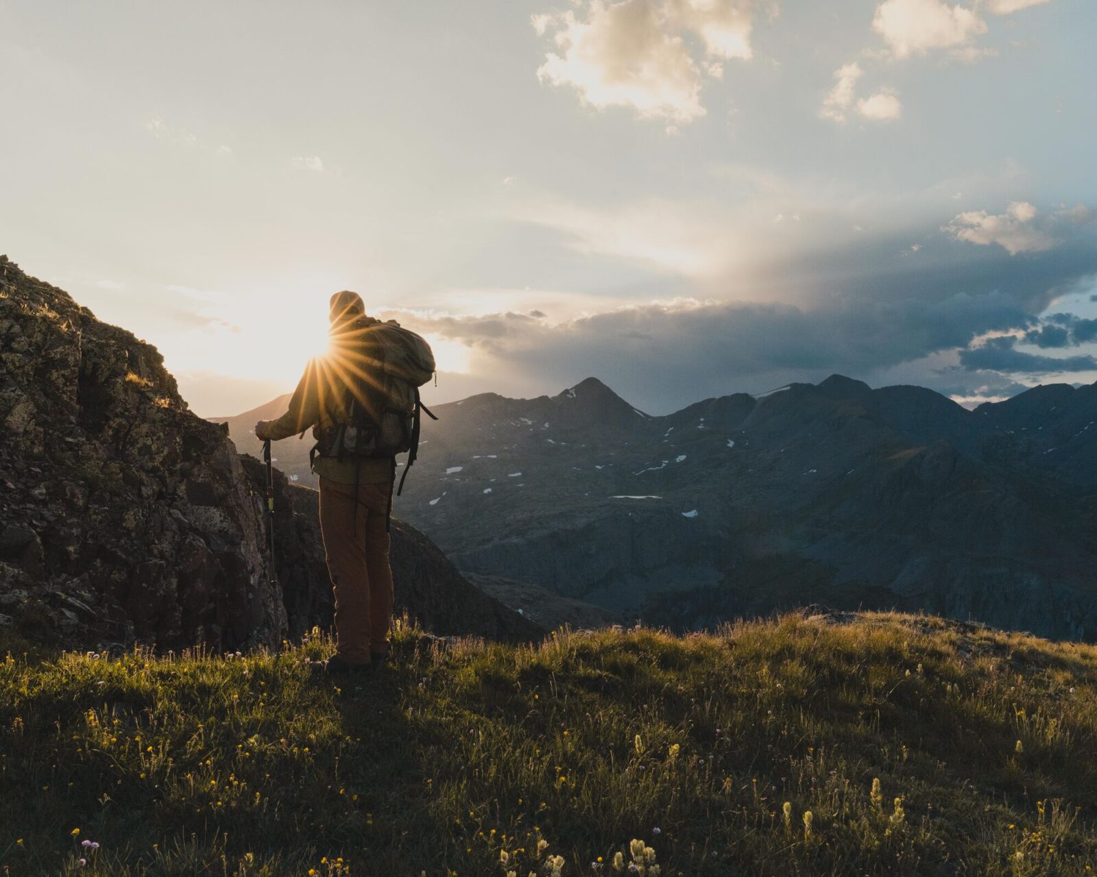
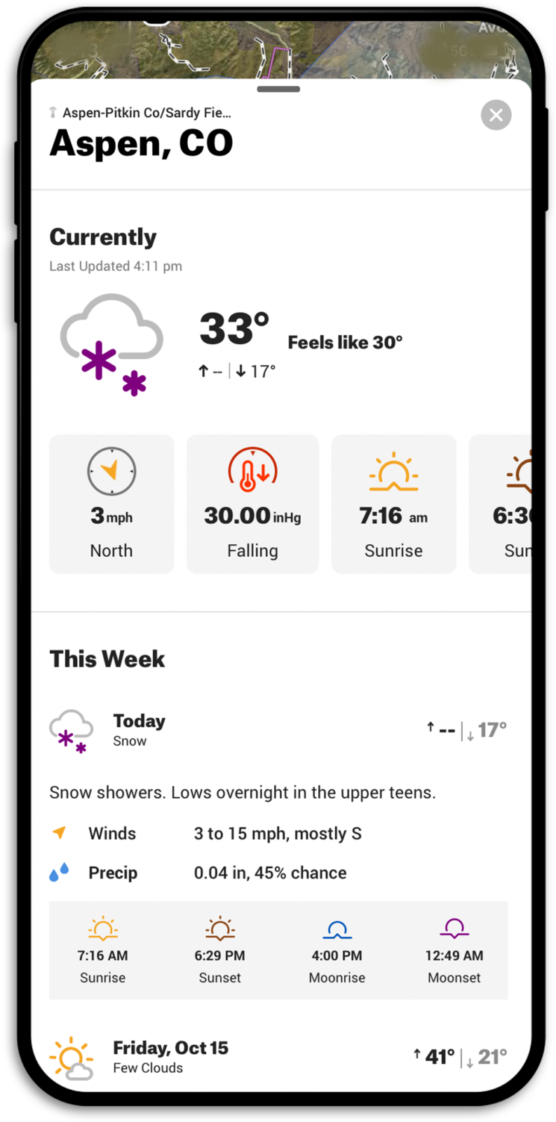
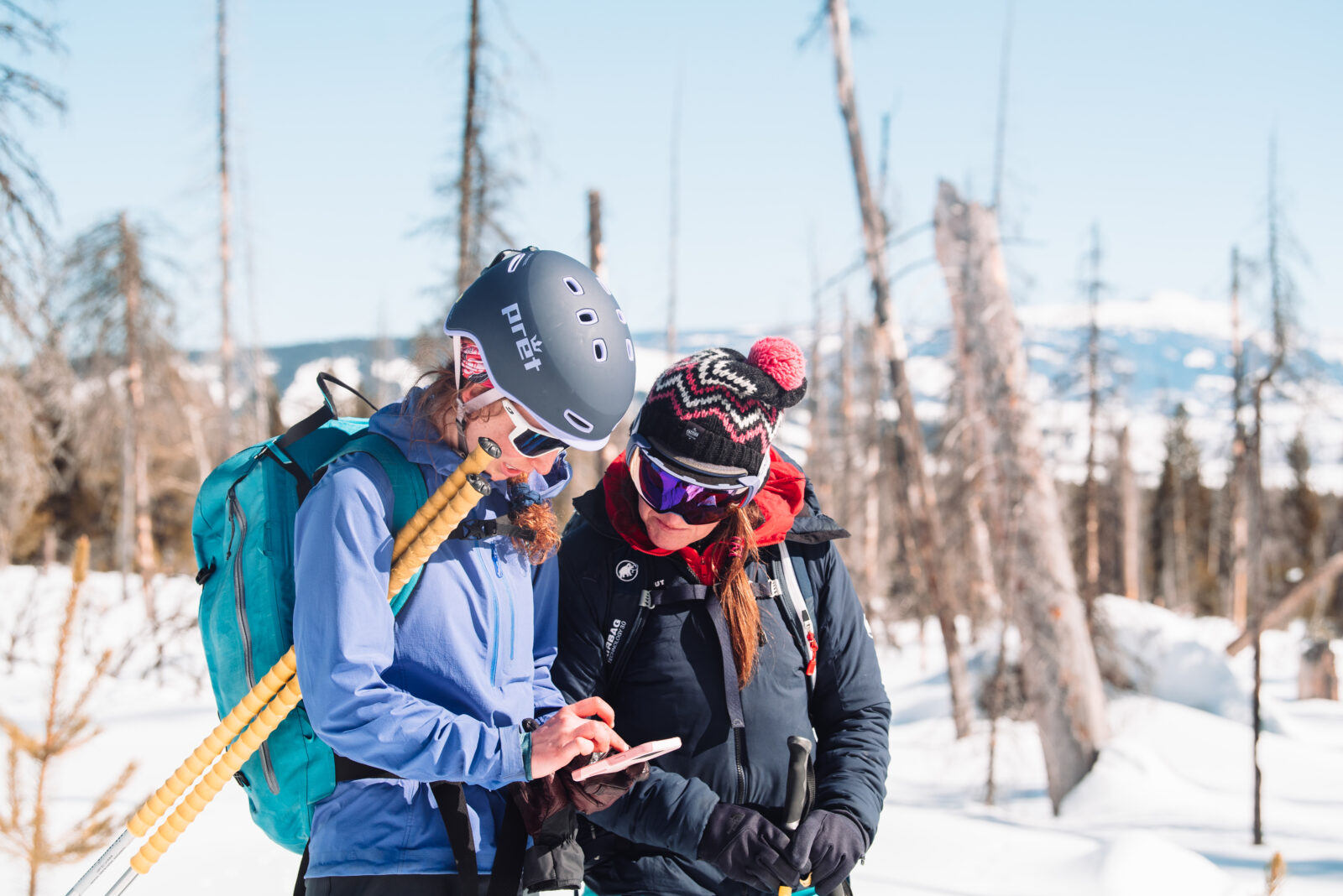
Stay Dry with Real Time Weather 
When weather can change at a moment’s notice, it helps to be prepared. Real time weather gives you the confidence to plan ahead and take action before storms hit.
Access precipitation data, winds speeds, temperature trends, and more right from the app while in the field.
Skip the Trial and Save 20%
Exclusively for National Geographic Subscribers
Take your outdoor adventures to the next level with 20% off your Premium or Elite Subscription. Explore uncharted territories, discover hidden trails, and navigate with confidence using the powerful GPS mapping features of onX. Don’t miss this opportunity to unlock a world of outdoor possibilities—Skip the trial and save!