W26
Total Miles
1.4
Technical Rating
Best Time
Spring, Summer, Fall, Winter
Trail Type
Full-Width Road
Accessible By
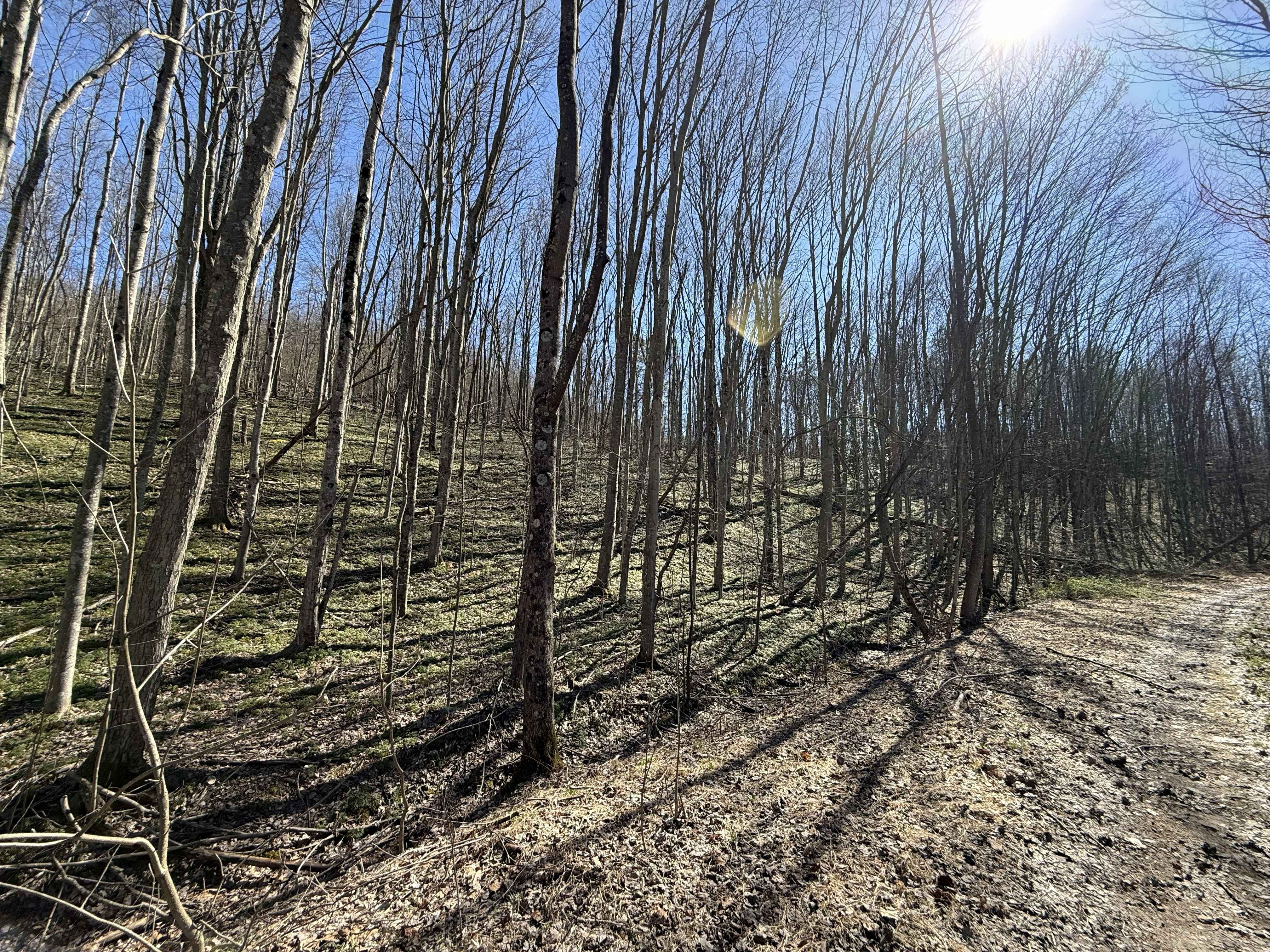
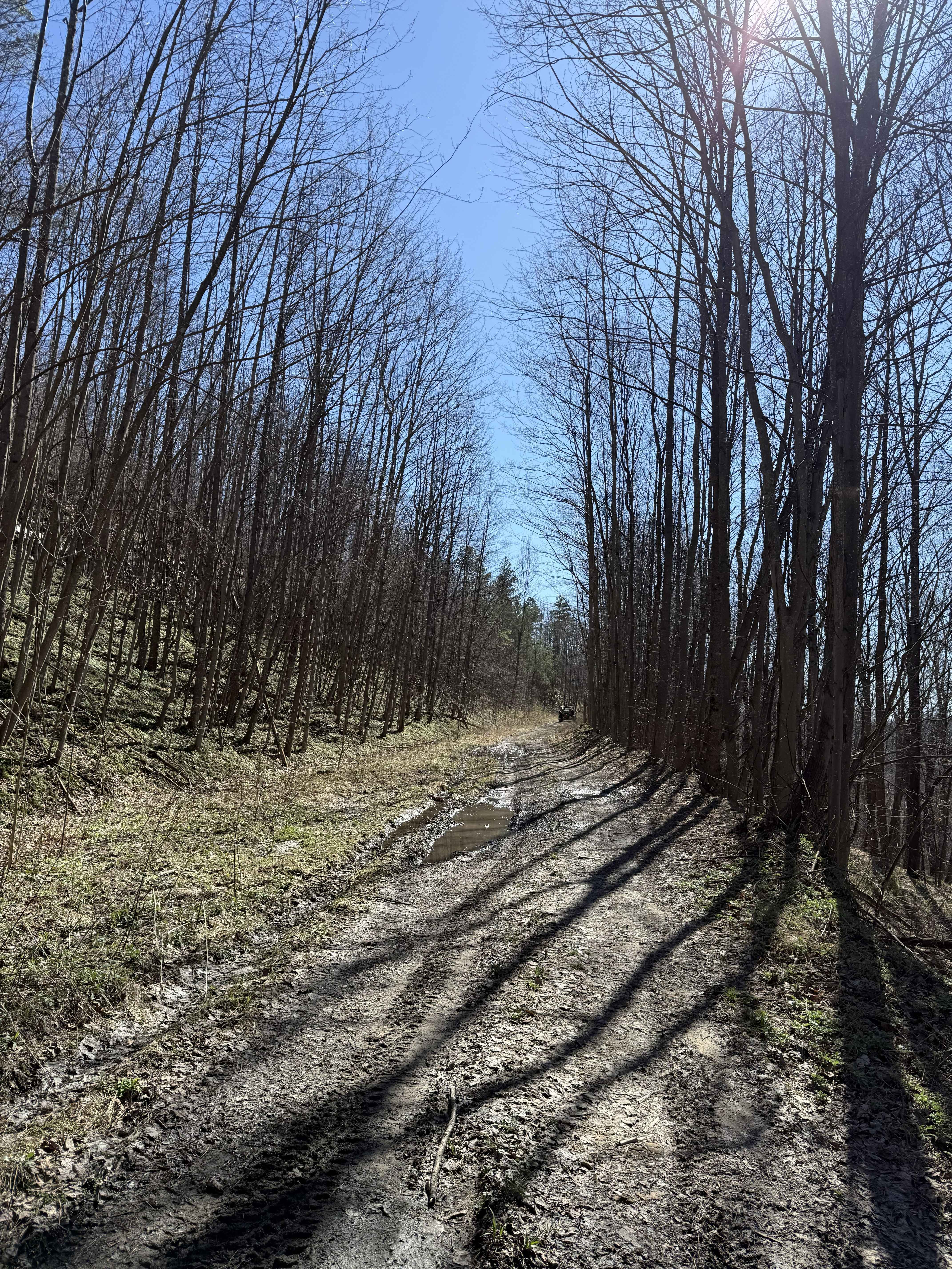
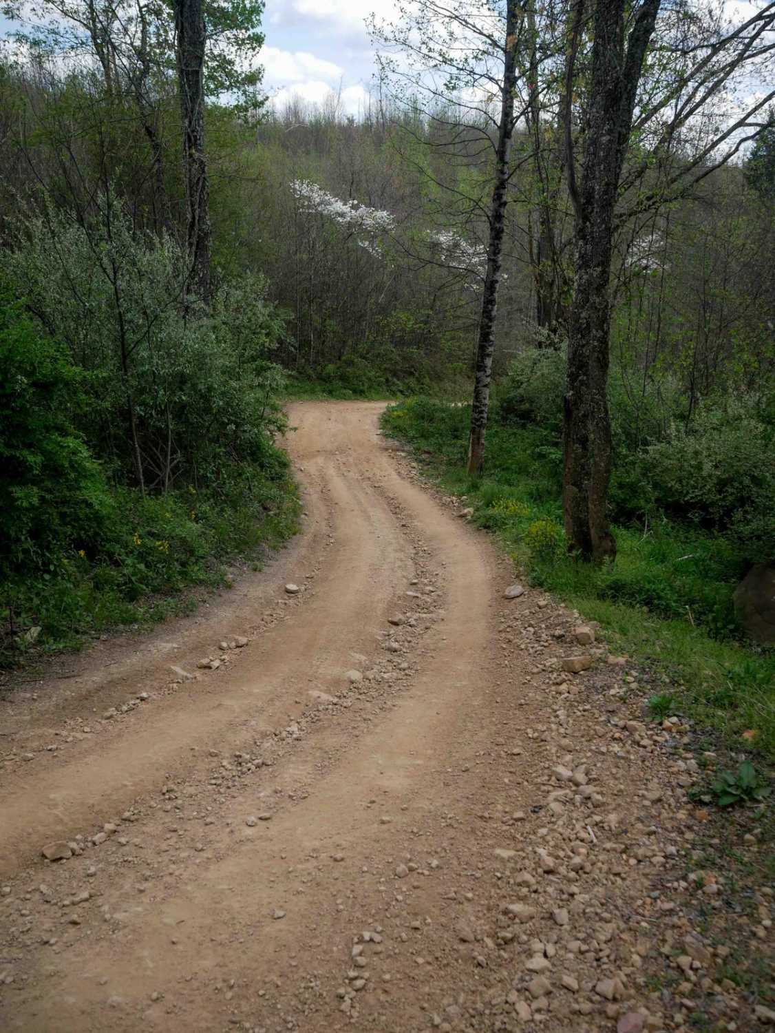
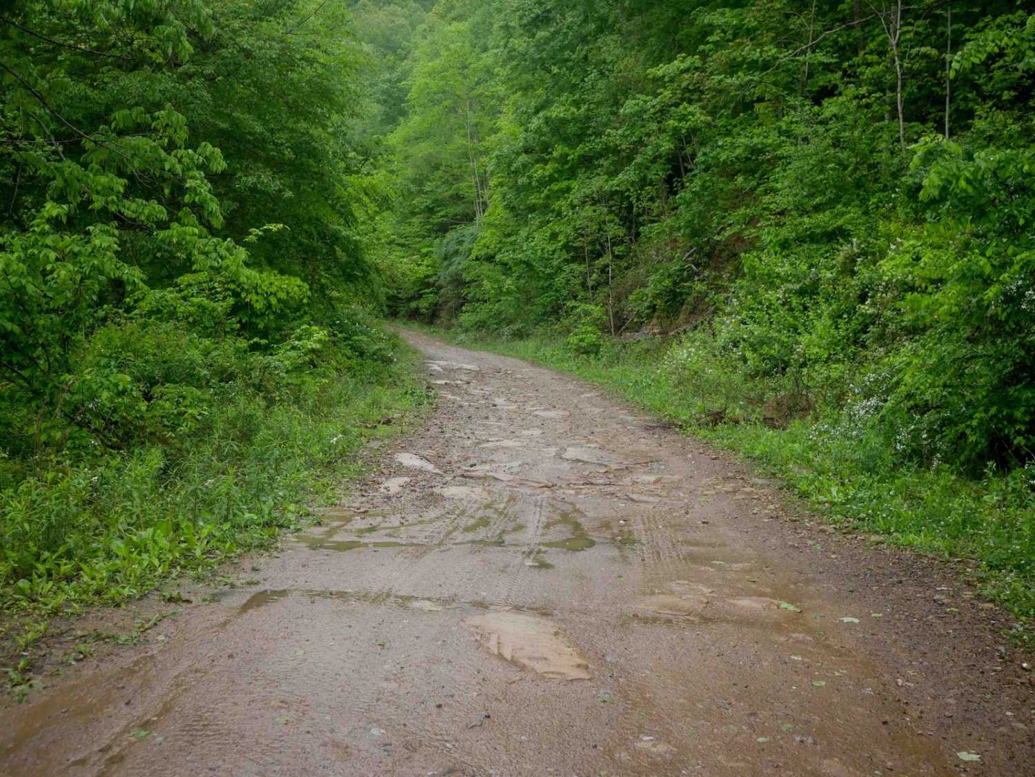
Trail Overview
W26 is a blue-rated ridge trail in the Witcher sector connecting W6 and W7. This route offers a more technical alternative between trails, combining elevation, terrain variation, and a rewarding finish. The trail follows a ridge line with mixed terrain, leading into a notable creek crossing near the end. Elevation changes and uneven surfaces throughout the route add to the overall challenge. A dispersed camping spot is located along the trail for those willing to make the trip.
Photos of W26
Difficulty
Moderate (Blue). Mixed terrain with elevation changes and a creek crossing. Suitable for most 4WD and high-clearance vehicles. Requires attention to line choice and traction. Trail conditions can vary with the weather. Ridge sections typically remain manageable, while the creek crossing and surrounding areas may become more challenging after rain.
Status Reports
W26 can be accessed by the following ride types:
- High-Clearance 4x4
- SUV
- SxS (60")
- ATV (50")
- Dirt Bike
W26 Map
Popular Trails

178 Single Track

The onX Offroad Difference
onX Offroad combines trail photos, descriptions, difficulty ratings, width restrictions, seasonality, and more in a user-friendly interface. Available on all devices, with offline access and full compatibility with CarPlay and Android Auto. Discover what you’re missing today!