RH 49
Total Miles
0.5
Technical Rating
Best Time
Spring, Fall, Summer, Winter
Trail Type
60" Trail
Accessible By
Trail Overview
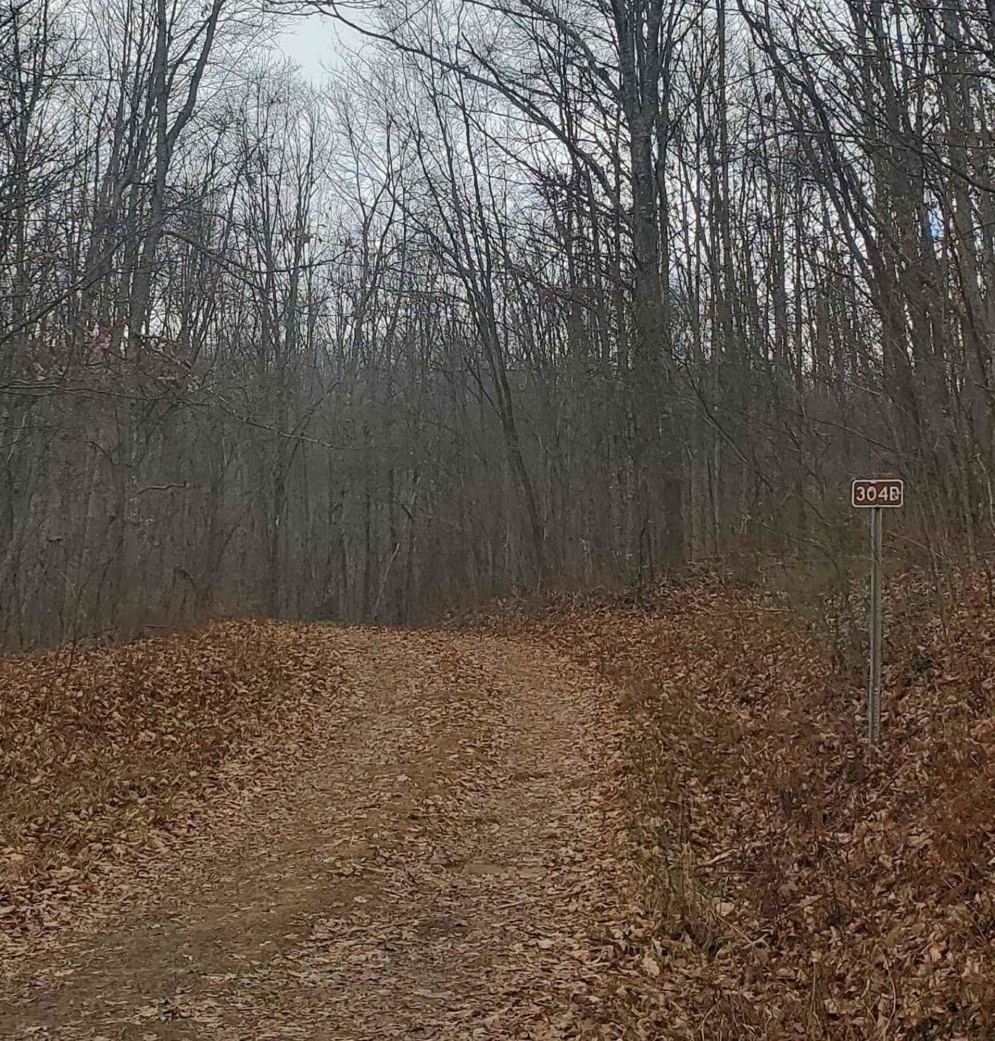
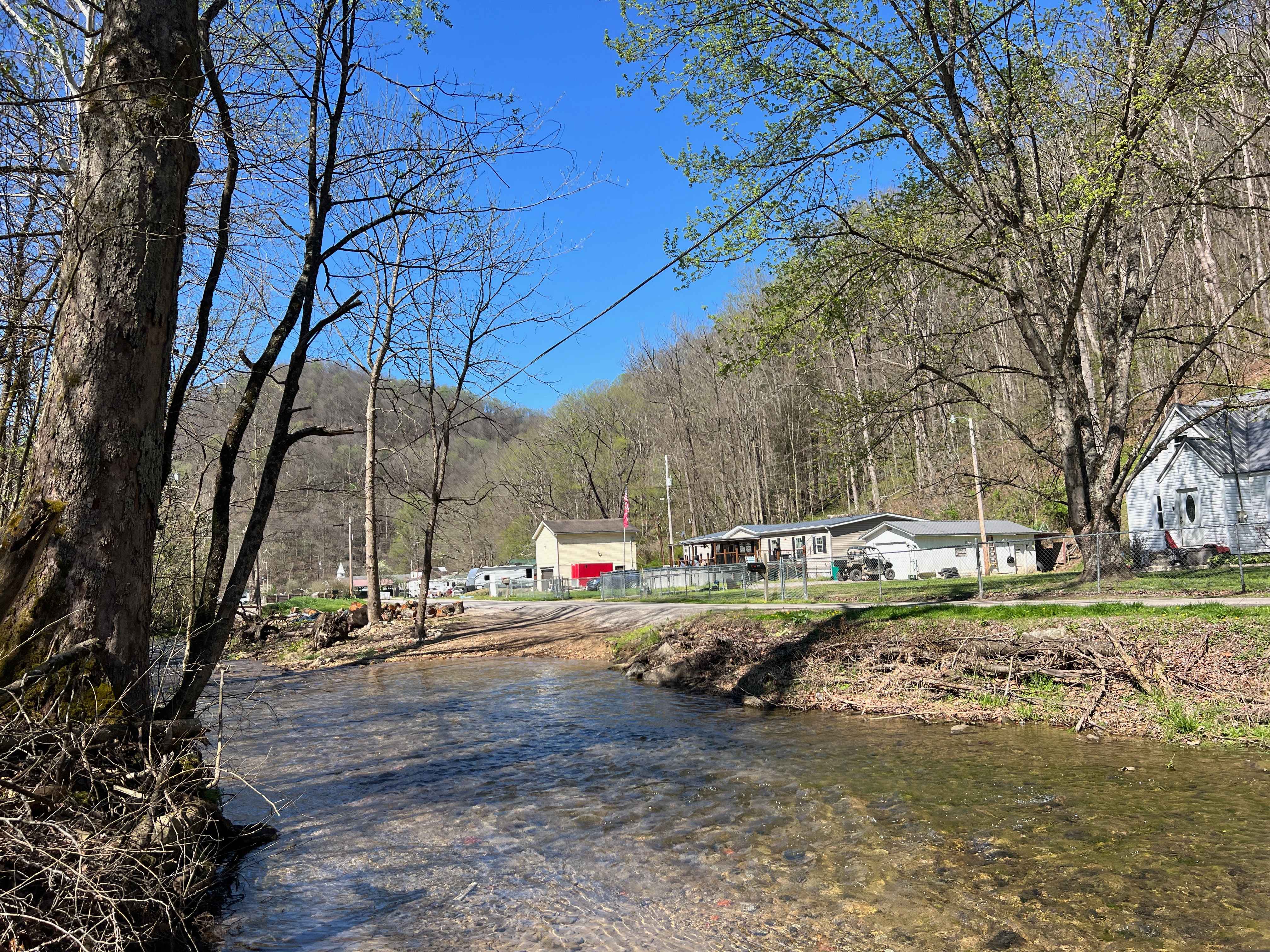
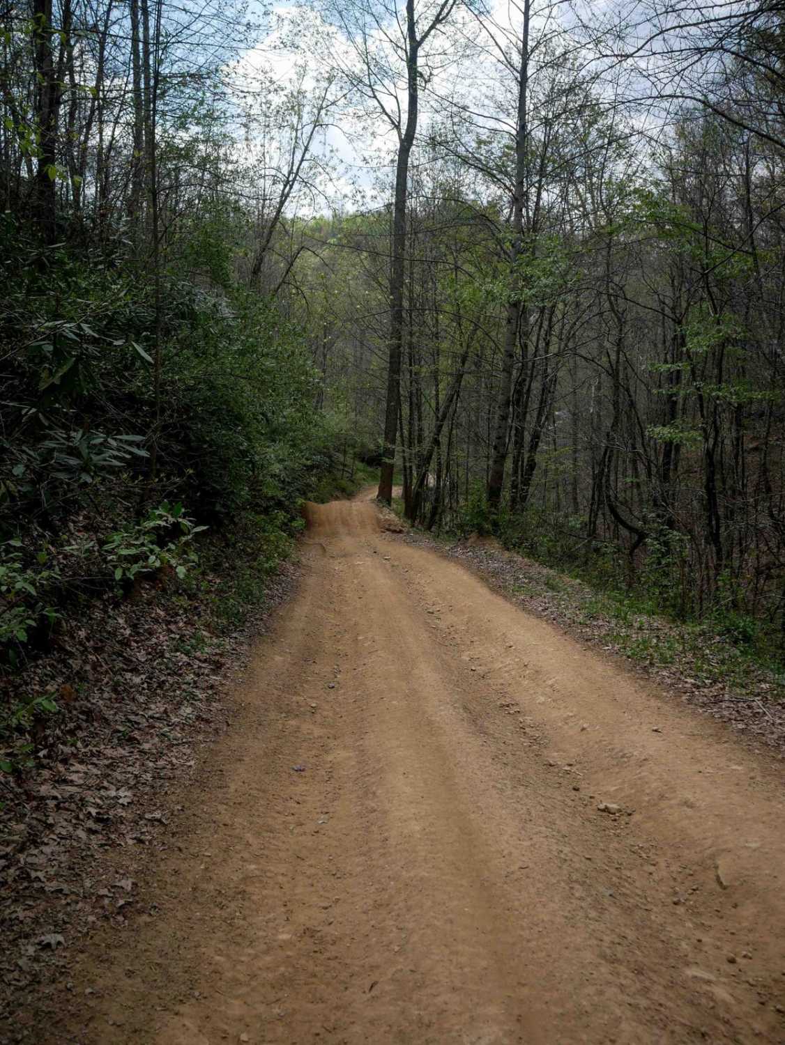
RH 49 is a short connector trail, less than a mile in length, beginning at its intersection with RH 50. It features a steady, shelf-like climb with loose rock, winding around the mountainside toward RH 23, a little bit off camber and rutted at times. The route includes steep, tight switchbacks before ending at the intersection with RH 40. Though brief, RH 49 offers a moderately easy link between major trails in the system.
Photos of RH 49


Difficulty
This is an easy SxS route with some steep spots and loose rock, but it is overall ideal for all skill levels. Note that this is considered More Difficult by Hatfield McCoy's rating system.
Status Reports
RH 49 can be accessed by the following ride types:
- SxS (60")
- ATV (50")
- Dirt Bike
RH 49 Map
Popular Trails

The onX Offroad Difference
onX Offroad combines trail photos, descriptions, difficulty ratings, width restrictions, seasonality, and more in a user-friendly interface. Available on all devices, with offline access and full compatibility with CarPlay and Android Auto. Discover what you’re missing today!