RH 33
Total Miles
6.2
Technical Rating
Best Time
Spring, Fall, Summer, Winter
Trail Type
60" Trail
Accessible By
Trail Overview
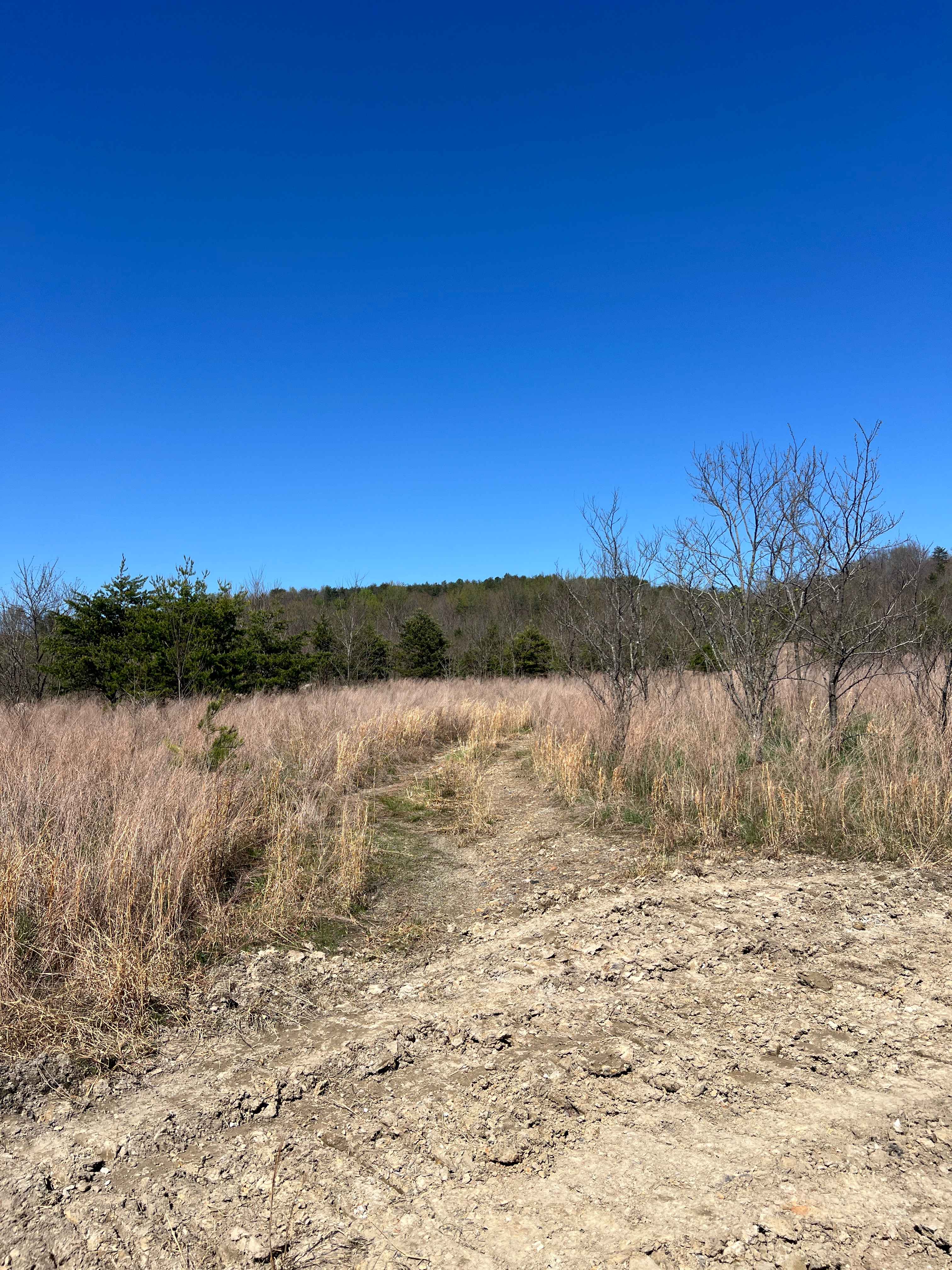
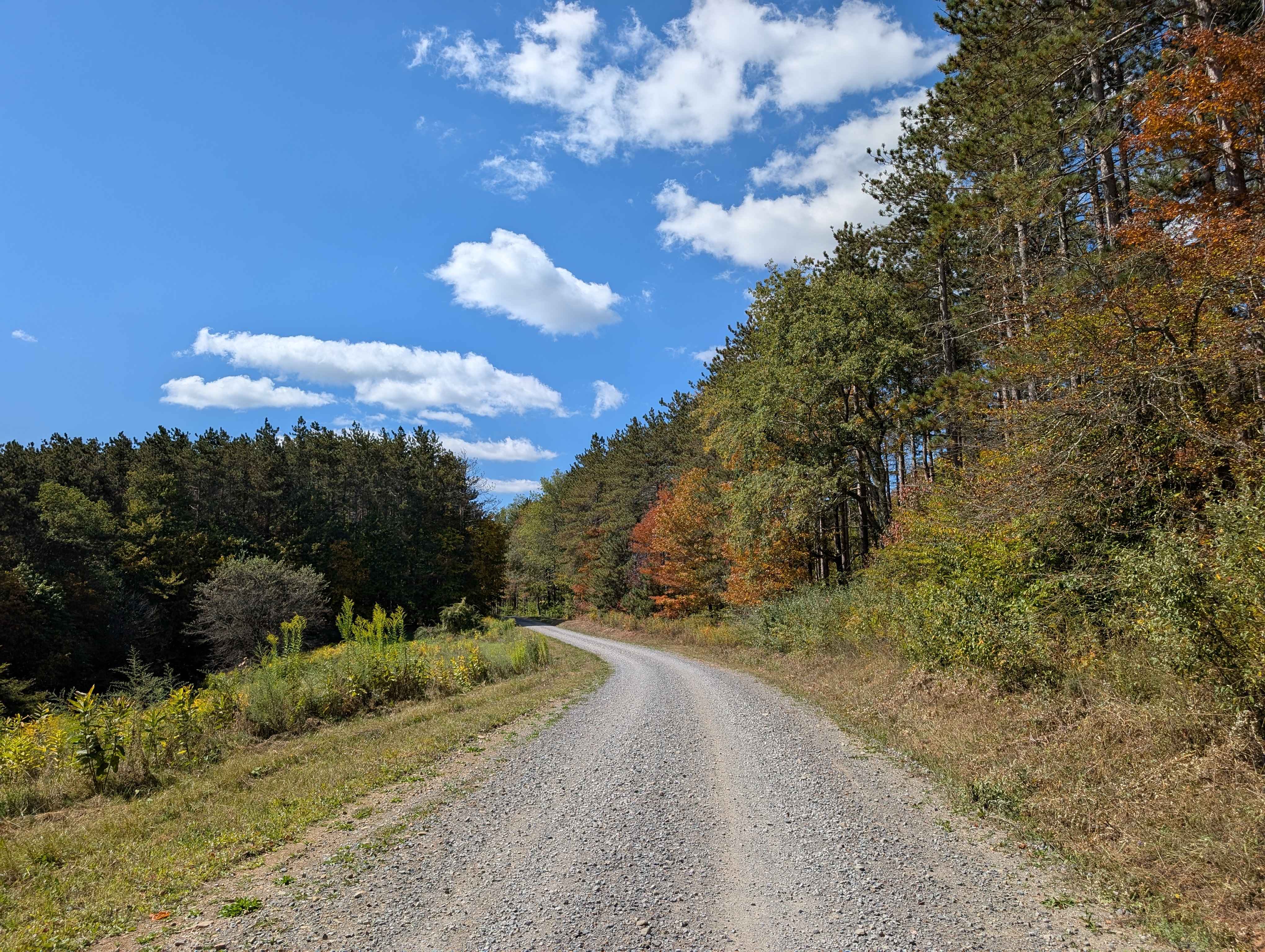
RH 33 begins at its eastern junction with RH 10 and winds through lush forest along a ravine, in the lower elevations of these hills. Riders can expect minor embedded rocks and a gradual climb featuring a few easy switchbacks. The trail narrows to one-lane width in spots, along a dug-out bank lined with roots and moss--use caution around blind corners for potential oncoming traffic. RH 33 includes a shallow stream crossing and a brief stretch of cracked, old pavement. A scenic waterfall adds visual appeal before the trail climbs gently to its intersection with RH 25 and RH 34.
Photos of RH 33


Difficulty
This is an easy SxS route with minimal features, ideal for all skill levels.
Status Reports
RH 33 can be accessed by the following ride types:
- SxS (60")
- ATV (50")
- Dirt Bike
RH 33 Map
Popular Trails


The onX Offroad Difference
onX Offroad combines trail photos, descriptions, difficulty ratings, width restrictions, seasonality, and more in a user-friendly interface. Available on all devices, with offline access and full compatibility with CarPlay and Android Auto. Discover what you’re missing today!