PC 55
Total Miles
2.4
Technical Rating
Best Time
Spring, Fall, Summer, Winter
Trail Type
60" Trail
Accessible By
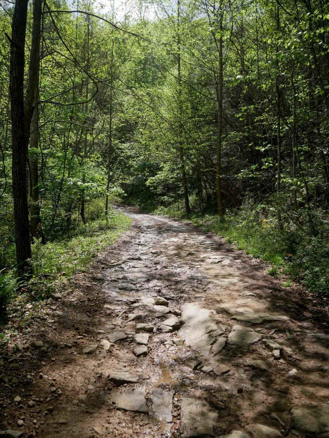
Trail Overview
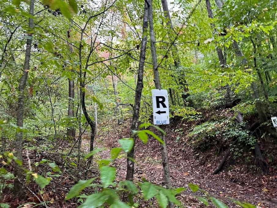
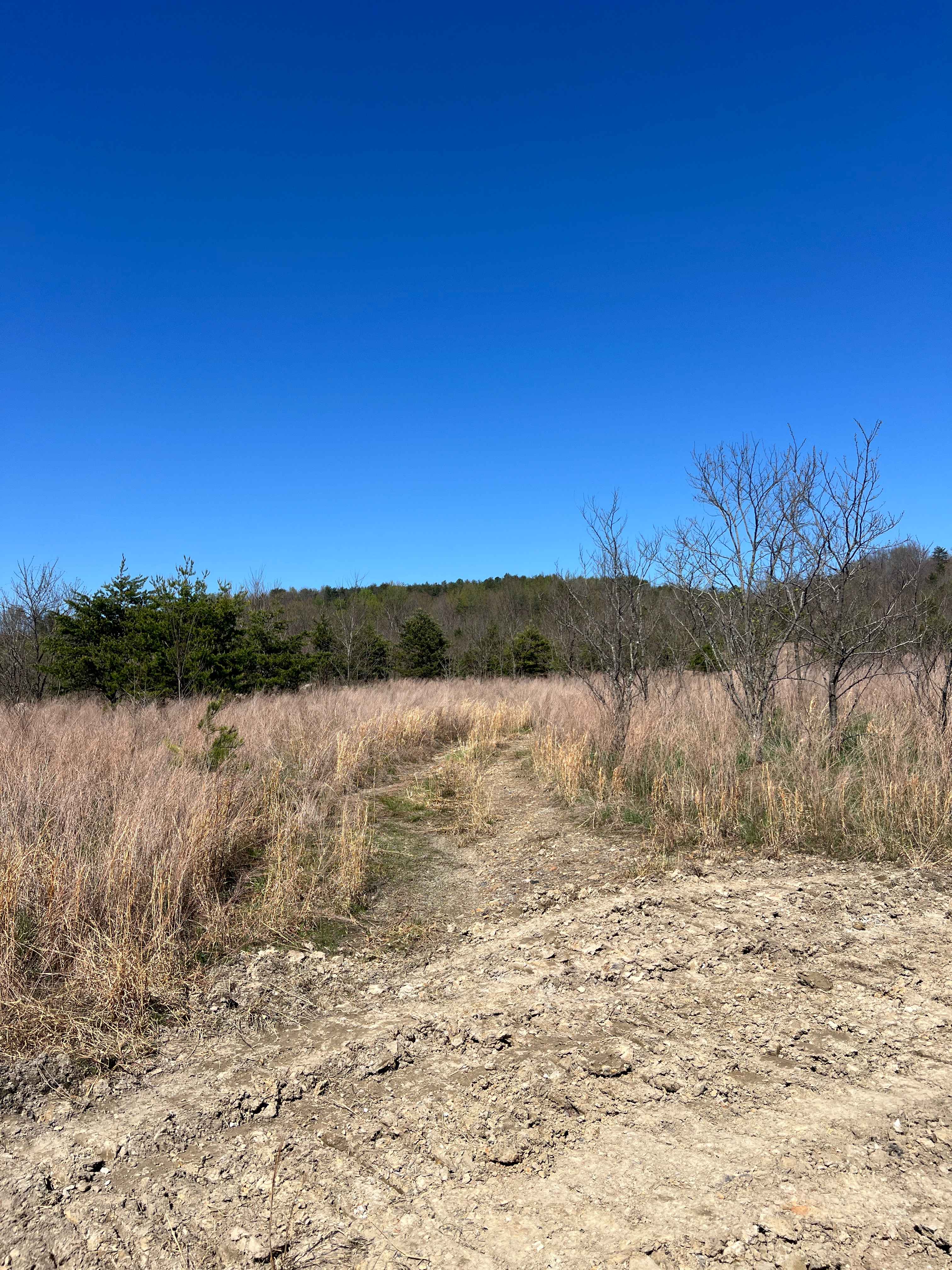
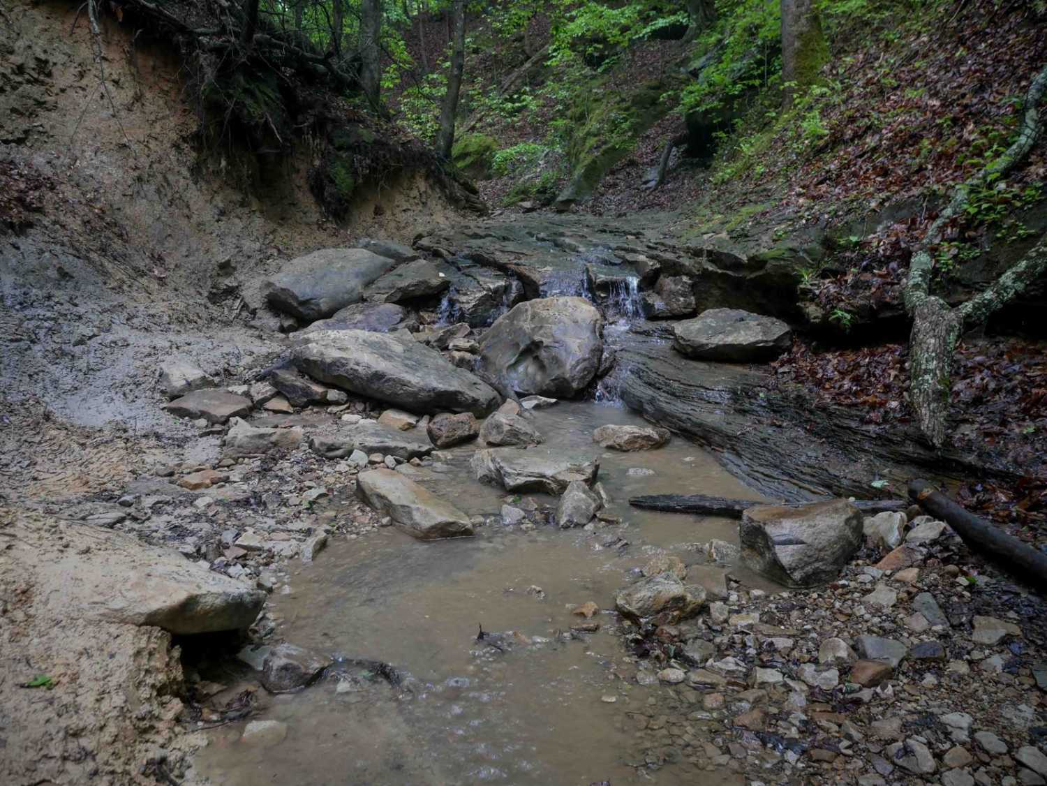
PC 55 is a 2.5-mile-long ascent, with the steepest section at the south end. The north beginning features a wide, shelf-like, smooth path with excellent visibility for oncoming traffic, allowing room for two-way travel. As the trail turns up the hill, it narrows and follows a shelf along a lush, forested mountainside. The trail includes minor ruts, with potential for mud puddles and slick conditions, particularly in the spring. There is some minor embedded rock, and about halfway through, the trail becomes steeper and rockier, with loose rock in the ruts. The ascent continues with tighter switchbacks as it gains elevation, ending at the intersection with trails PC 10 and 14.
Photos of PC 55

Difficulty
Although this trail has some tight switchbacks and a steep rocky climb, it remains manageable for average riders. Note that this is considered More Difficult by Hatfield McCoy's rating system.
Status Reports
PC 55 can be accessed by the following ride types:
- SxS (60")
- ATV (50")
- Dirt Bike
PC 55 Map
Popular Trails

The onX Offroad Difference
onX Offroad combines trail photos, descriptions, difficulty ratings, width restrictions, seasonality, and more in a user-friendly interface. Available on all devices, with offline access and full compatibility with CarPlay and Android Auto. Discover what you’re missing today!