P28
Total Miles
1.0
Technical Rating
Best Time
Spring, Fall, Summer, Winter
Trail Type
60" Trail
Accessible By
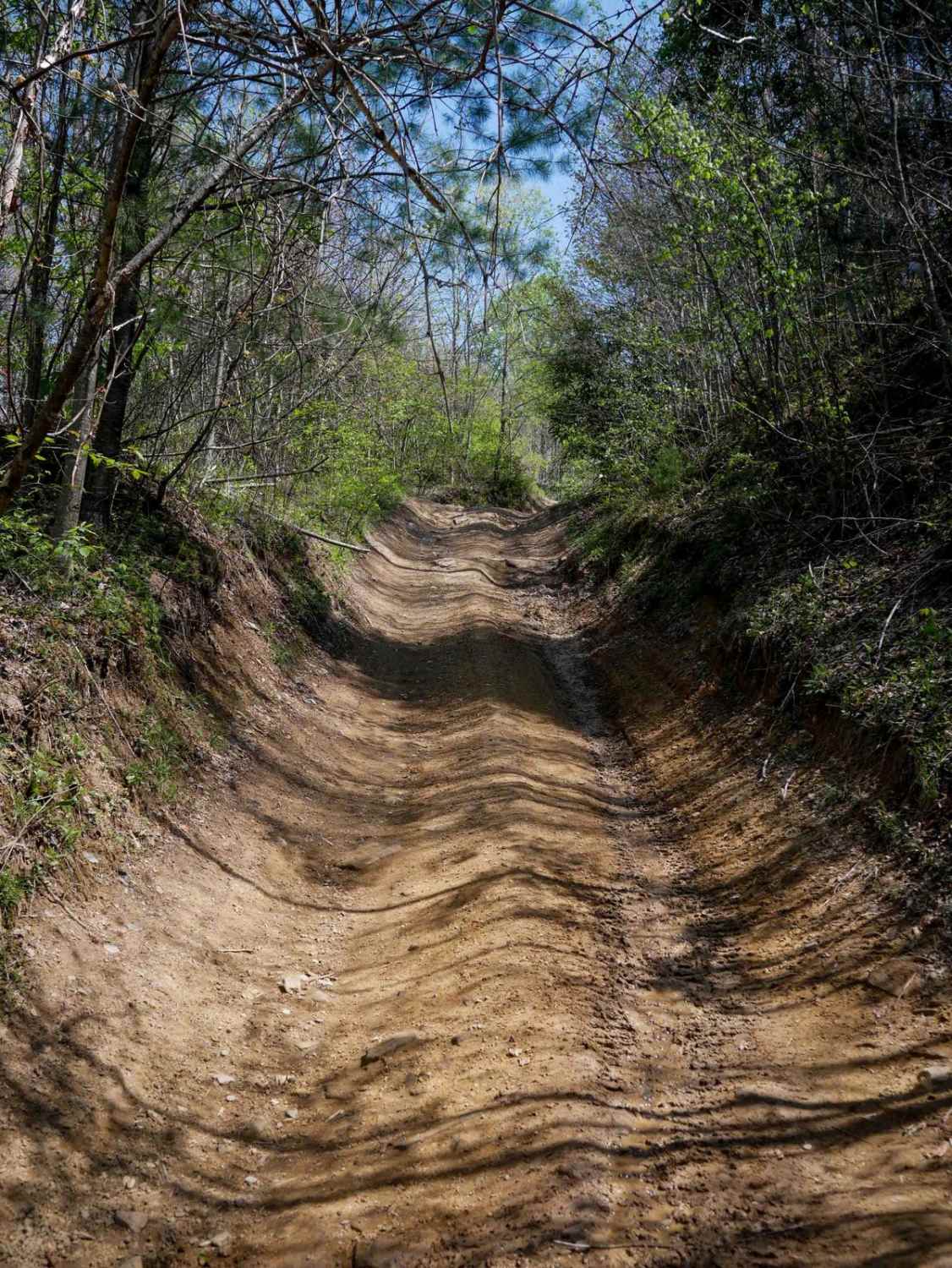
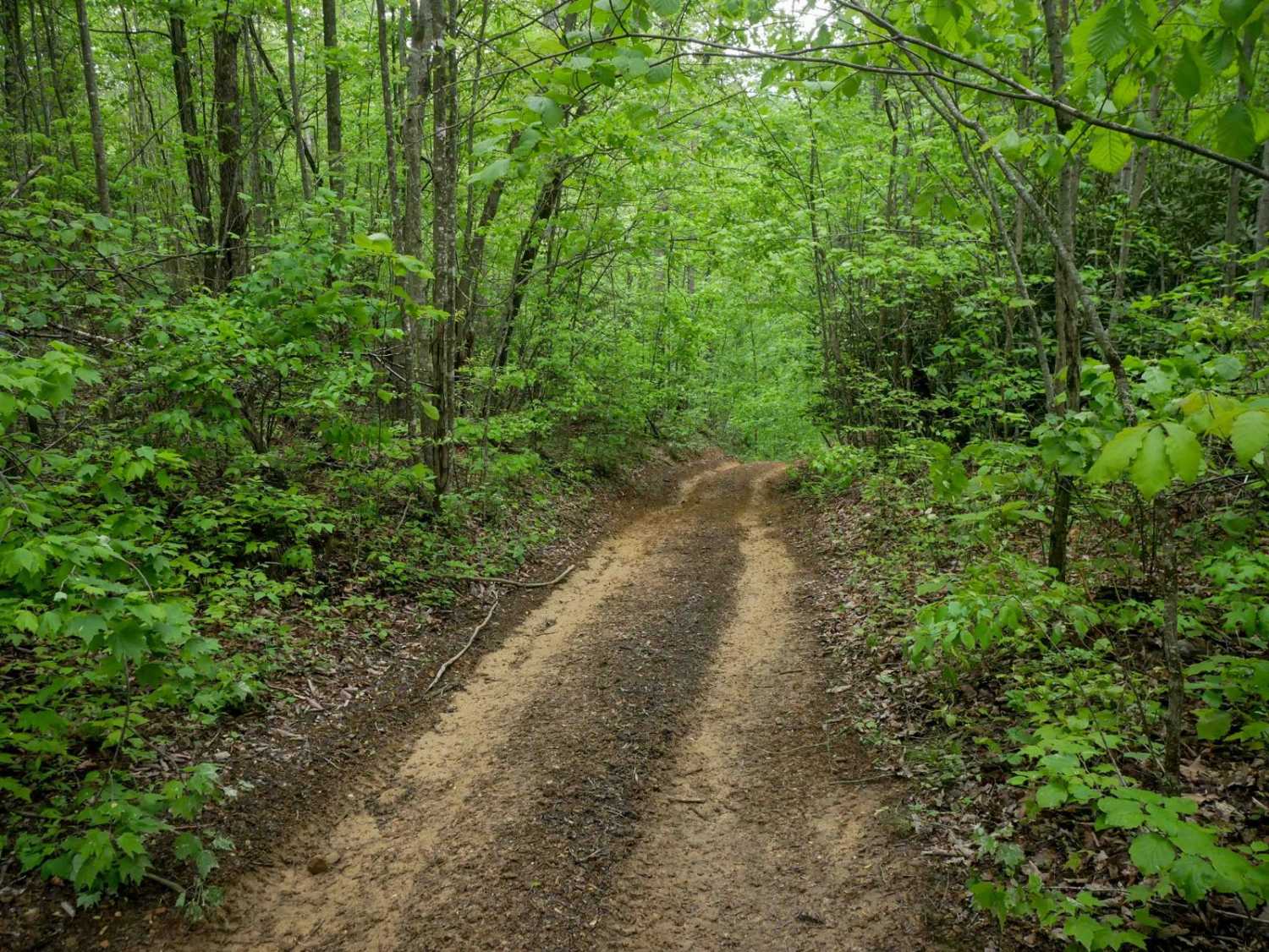
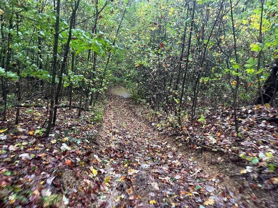
Trail Overview
Trail P28 is a 1.1-mile route that begins with a steep, rocky climb from the north, featuring deeper ruts and loose rock that may hold mud or moisture depending on conditions. As the trail progresses, the grade gradually levels out. After passing the intersection with Trail P25, you'll ride through a scenic shelfy section that runs alongside dense rhododendron thickets. The trail ends at the intersection with Trail P26.
Photos of P28

Difficulty
This is a moderate SxS route with features such as deeper ruts, loose rock, and steeper grades, but should still be manageable for average experienced drivers.
Status Reports
P28 can be accessed by the following ride types:
- SxS (60")
- ATV (50")
- Dirt Bike
P28 Map
Popular Trails


Beech Fork
The onX Offroad Difference
onX Offroad combines trail photos, descriptions, difficulty ratings, width restrictions, seasonality, and more in a user-friendly interface. Available on all devices, with offline access and full compatibility with CarPlay and Android Auto. Discover what you’re missing today!