P26
Total Miles
1.0
Technical Rating
Best Time
Spring, Fall, Summer, Winter
Trail Type
60" Trail
Accessible By
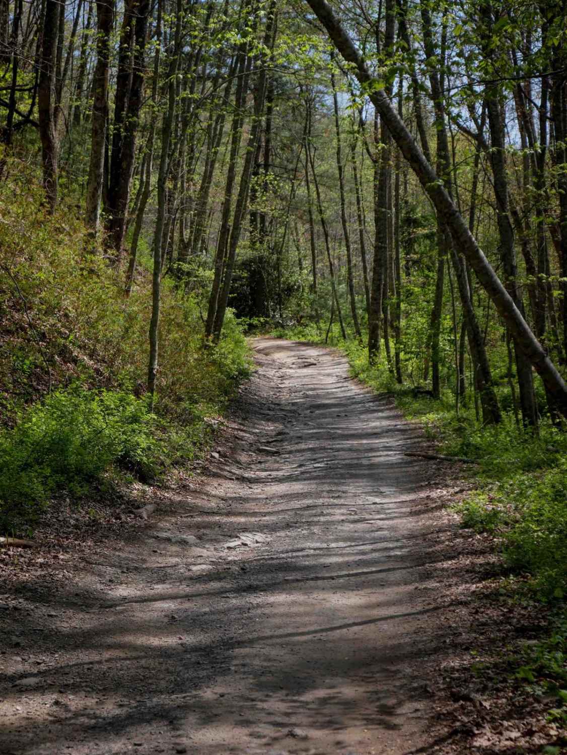
Trail Overview
Trail P26 is a 1-mile route that runs between two segments of P10, offering an easy terrain and forest scenery. It starts narrow as it winds through dense rhododendron thickets, with minor embedded and loose rock. The trail passes through several clearly marked intersections before transitioning into a wider section through open forest. With gradual sweeping corners and slightly steep but mostly manageable grades, P26 serves as a smooth and scenic connector within the Pocahontas Trail System.
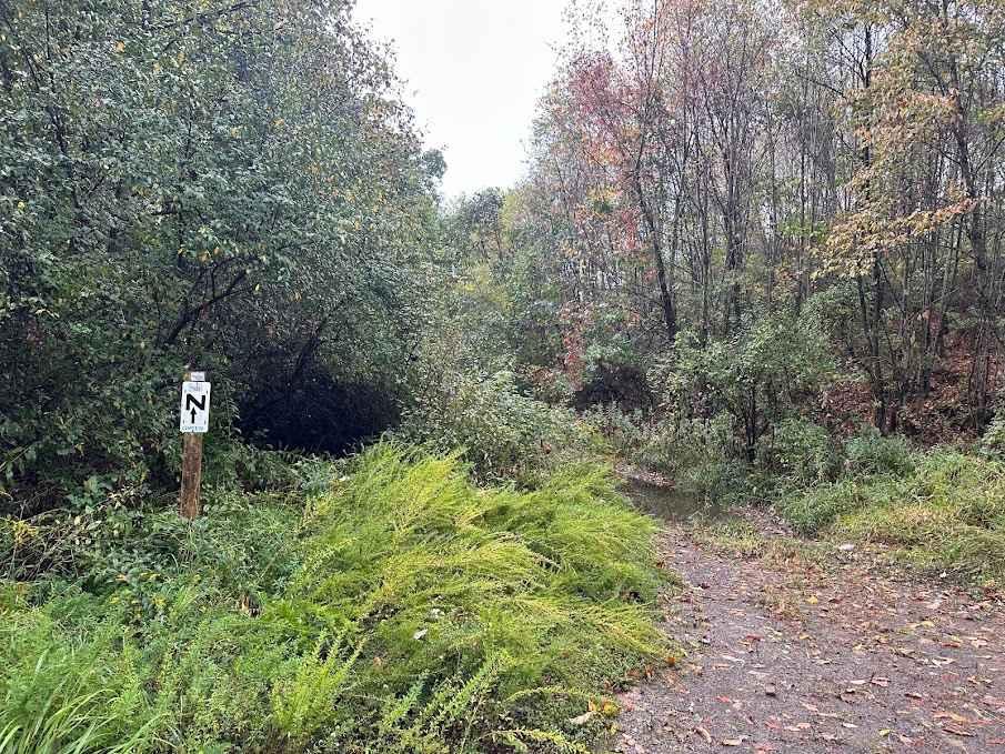
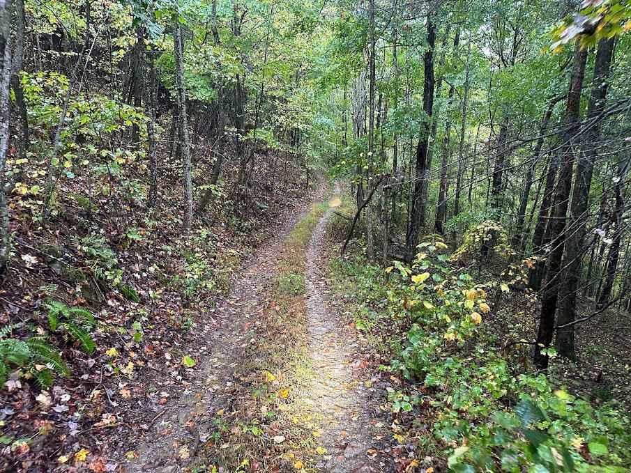
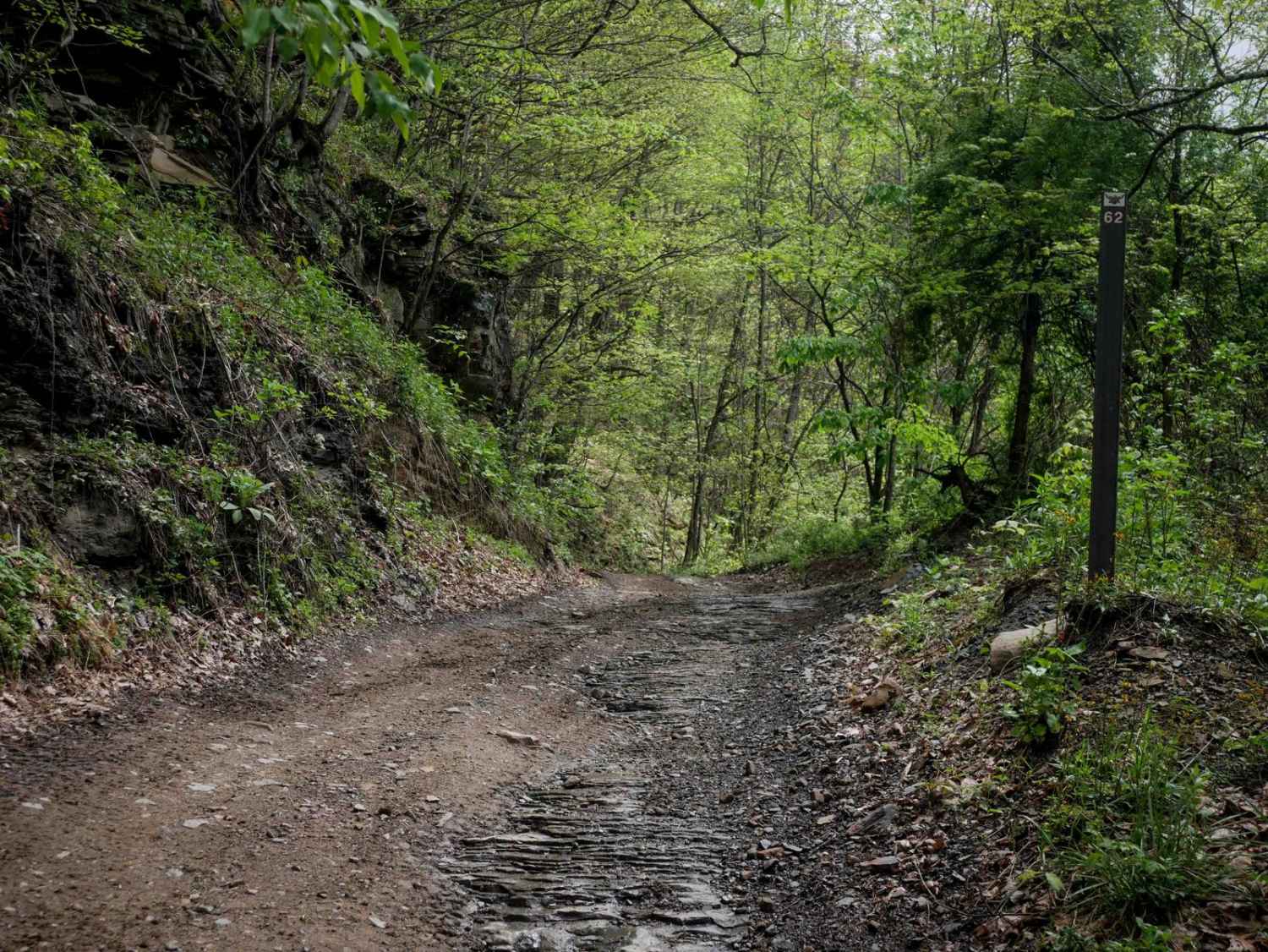
Photos of P26

Difficulty
This is an easy SxS route with minimal technical features including minor loose rock, gradual grades, and no obstacles, manageable for drivers of all skill levels. Note that it is labeled as More Difficult by the trail system.
Status Reports
P26 can be accessed by the following ride types:
- SxS (60")
- ATV (50")
- Dirt Bike
P26 Map
Popular Trails

The onX Offroad Difference
onX Offroad combines trail photos, descriptions, difficulty ratings, width restrictions, seasonality, and more in a user-friendly interface. Available on all devices, with offline access and full compatibility with CarPlay and Android Auto. Discover what you’re missing today!