P18
Total Miles
5.6
Technical Rating
Best Time
Spring, Fall, Summer, Winter
Trail Type
60" Trail
Accessible By
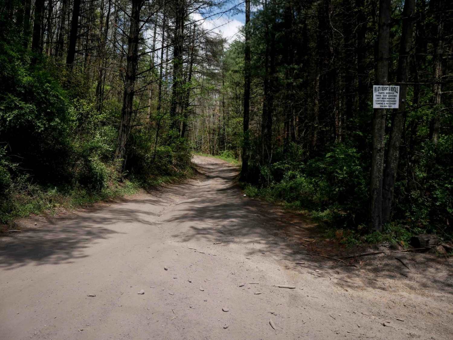
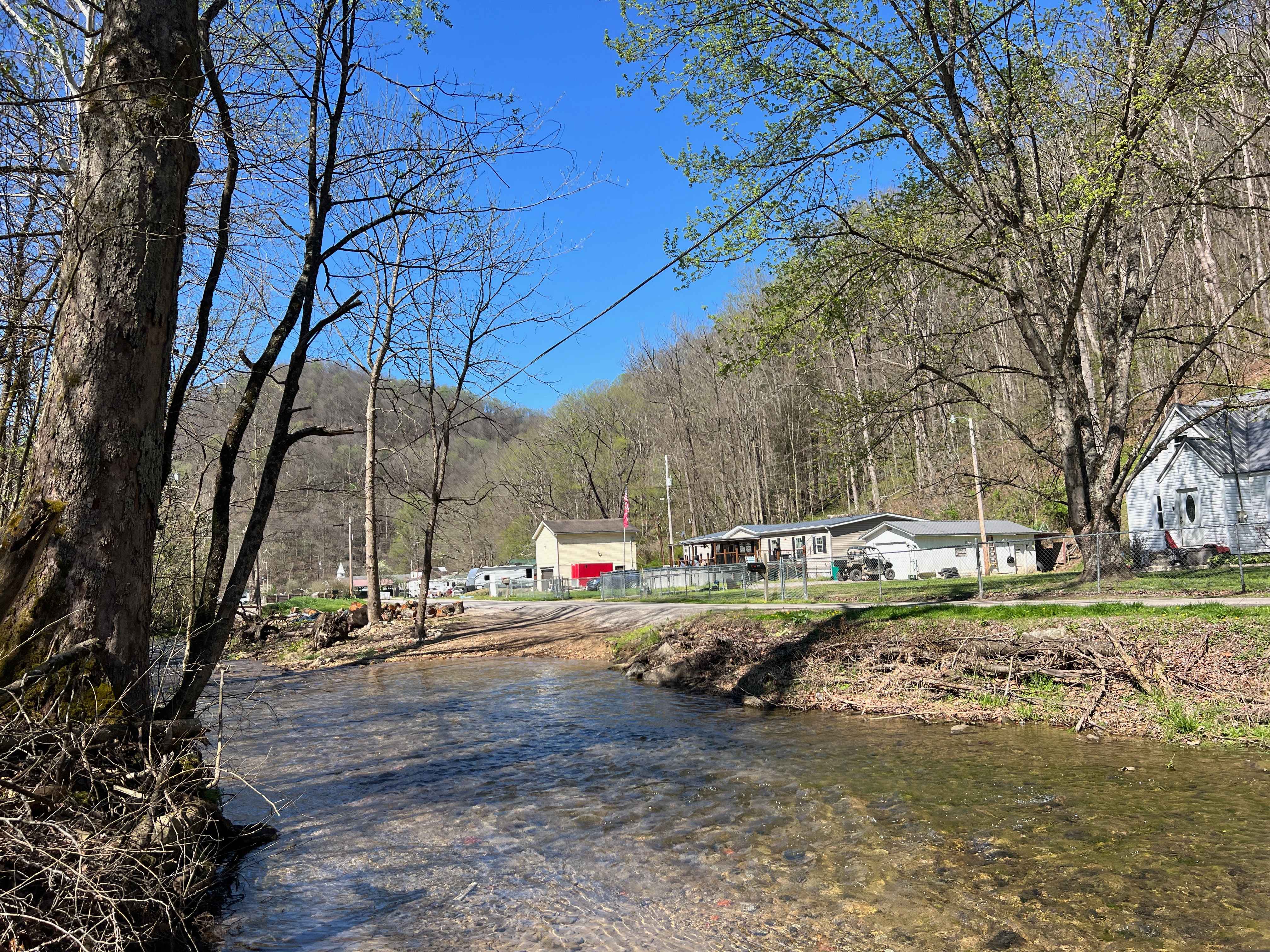
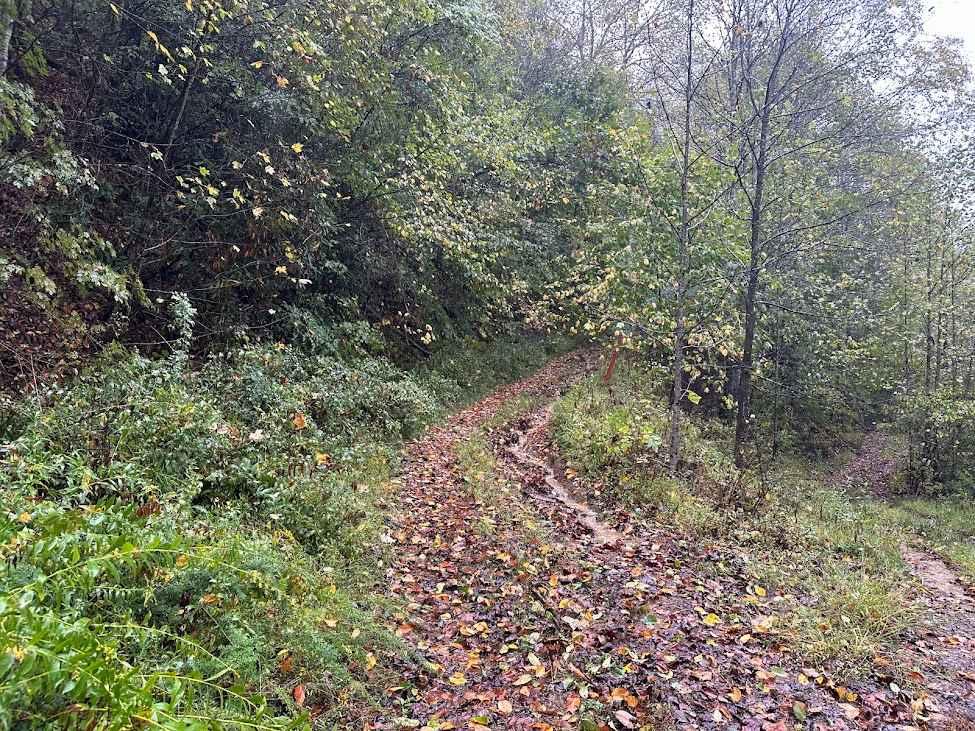
Trail Overview
This trail offers a wide, smooth ride with gradual inclines, minor ruts, and water bars, making it accessible for a range of skill levels. Throughout the longer route of 5.7 miles, it features large, sweeping corners and several well-marked intersections, with occasional steeper sections. Visibility through the trees is generally good, though caution is advised around blind corners due to potential oncoming traffic. The north end of the trail ends at a paved road near McComas, where riders can take the designated highway route to connect to the Indian Ridge Trail System. Signage directs riders to the West Virginia ATV Resort for fuel, lodging, tire service, repairs, and towing.
Photos of P18

Difficulty
This is an easy SxS route with minimal features such as gradual grades and shallow ruts, manageable for drivers of all skill levels.
Status Reports
P18 can be accessed by the following ride types:
- SxS (60")
- ATV (50")
- Dirt Bike
P18 Map
Popular Trails

The onX Offroad Difference
onX Offroad combines trail photos, descriptions, difficulty ratings, width restrictions, seasonality, and more in a user-friendly interface. Available on all devices, with offline access and full compatibility with CarPlay and Android Auto. Discover what you’re missing today!