IR 81
Total Miles
1.9
Technical Rating
Best Time
Spring, Fall, Summer, Winter
Trail Type
60" Trail
Accessible By
Trail Overview
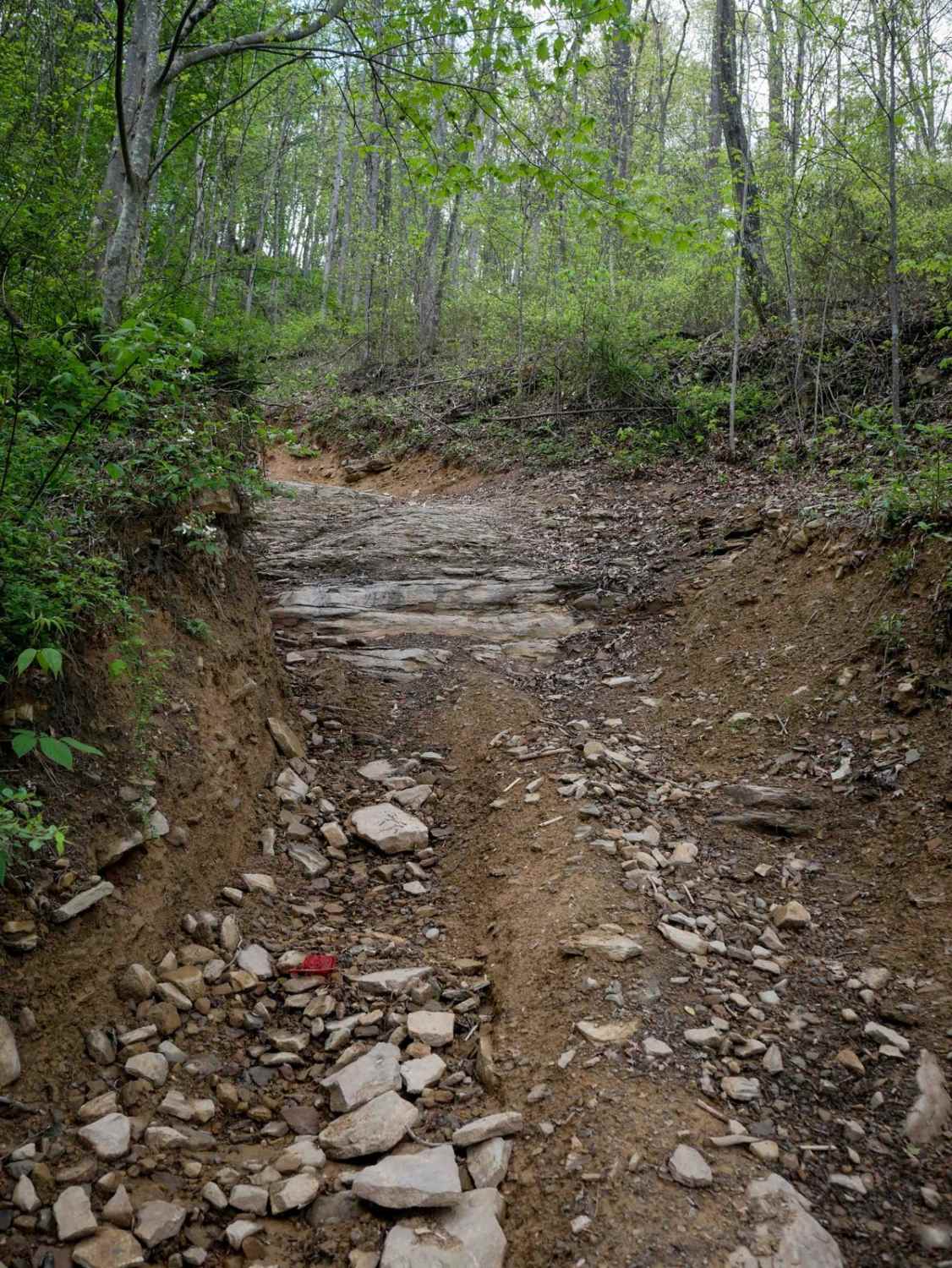
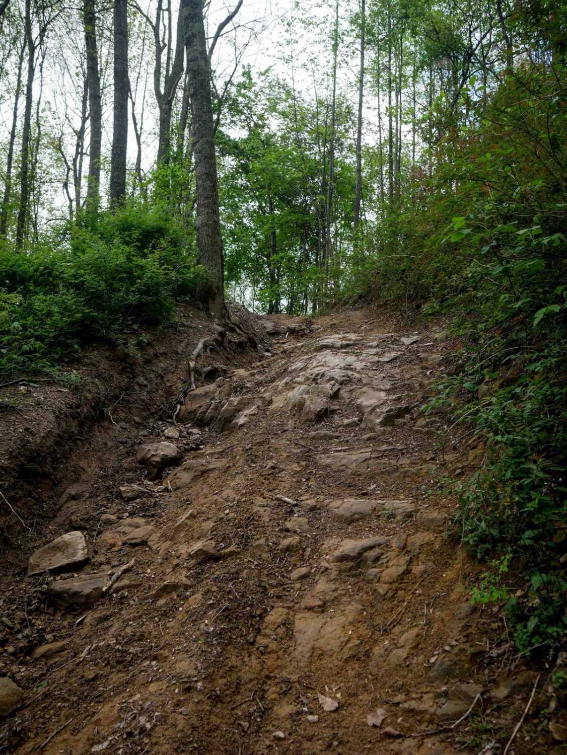
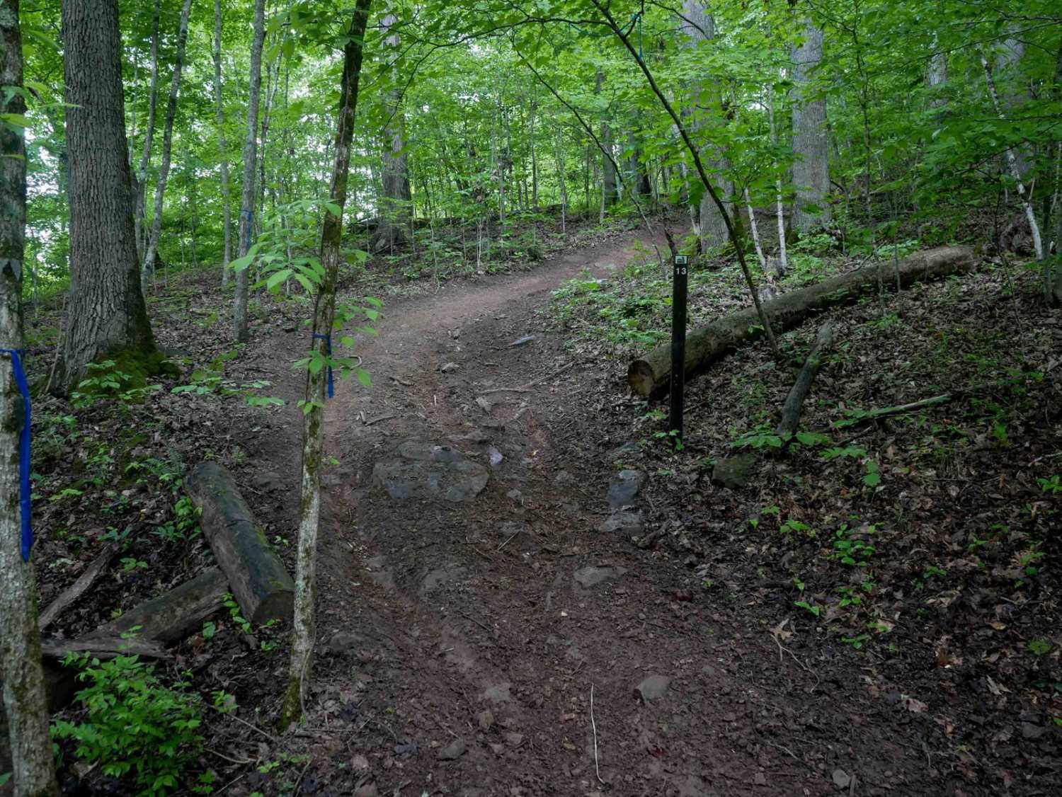
Trail 81 begins with a steep, shelfy descent along scenic rock walls, where loose rocks cover much of the trail surface. When riding clockwise, there's an unmarked right turn about 0.6 miles in that is easy to miss, otherwise you'll keep descending down to the town of Powhatan. After making the correct turn, the trail advances in difficulty, climbing sharply through rutted terrain with loose rock of all sizes. It narrows along a shelf, weaving through forested terrain with loamy soil and scenic rock outcroppings at the trail's edge. A few major rock obstacles stand out: one is a rock shelf up to 3 feet tall on a very steep incline, approached through ruts and holes; another is a rock shelf next to a root band that makes traction more difficult. This trail is suited for highly skilled riders looking for a fun challenge.
Photos of IR 81
Difficulty
This is a 6 difficulty because it has rock shelves up to 3 feet tall, loose, rutted hills, and root bands. Note that this is considered Most Difficult by Hatfield McCoy's rating system.
Status Reports
IR 81 can be accessed by the following ride types:
- SxS (60")
- ATV (50")
- Dirt Bike
IR 81 Map
Popular Trails


The onX Offroad Difference
onX Offroad combines trail photos, descriptions, difficulty ratings, width restrictions, seasonality, and more in a user-friendly interface. Available on all devices, with offline access and full compatibility with CarPlay and Android Auto. Discover what you’re missing today!