IR 78
Total Miles
1.2
Technical Rating
Best Time
Spring, Fall, Summer, Winter
Trail Type
60" Trail
Accessible By
Trail Overview
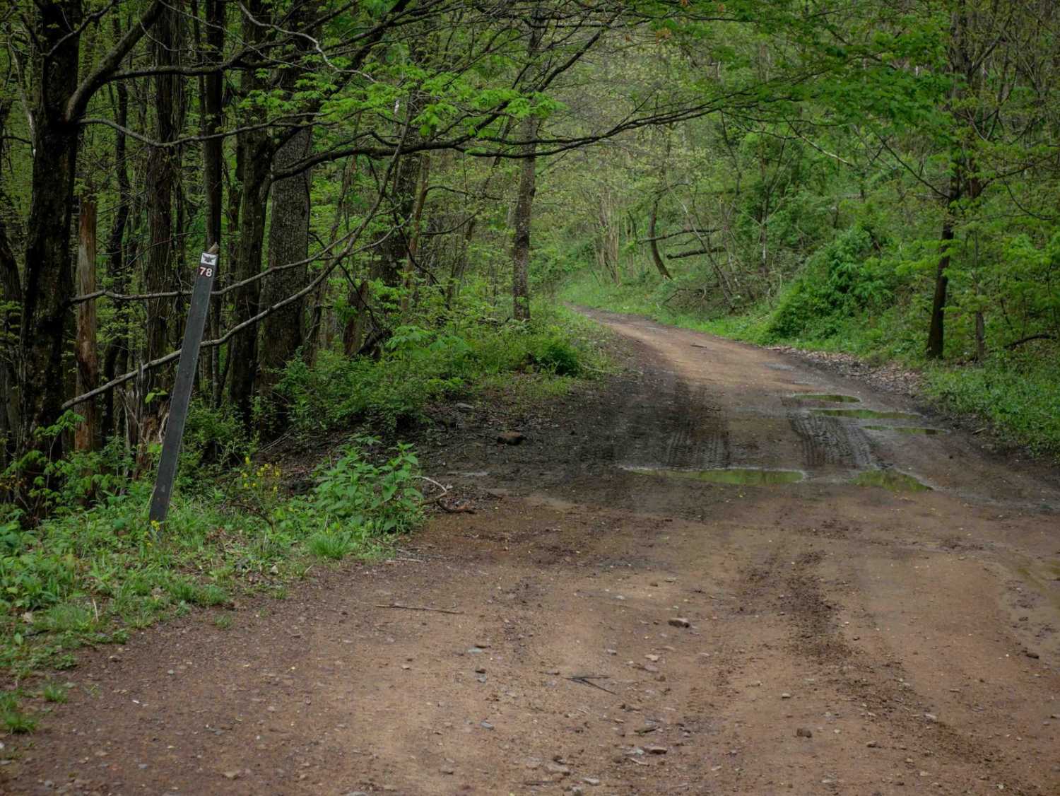
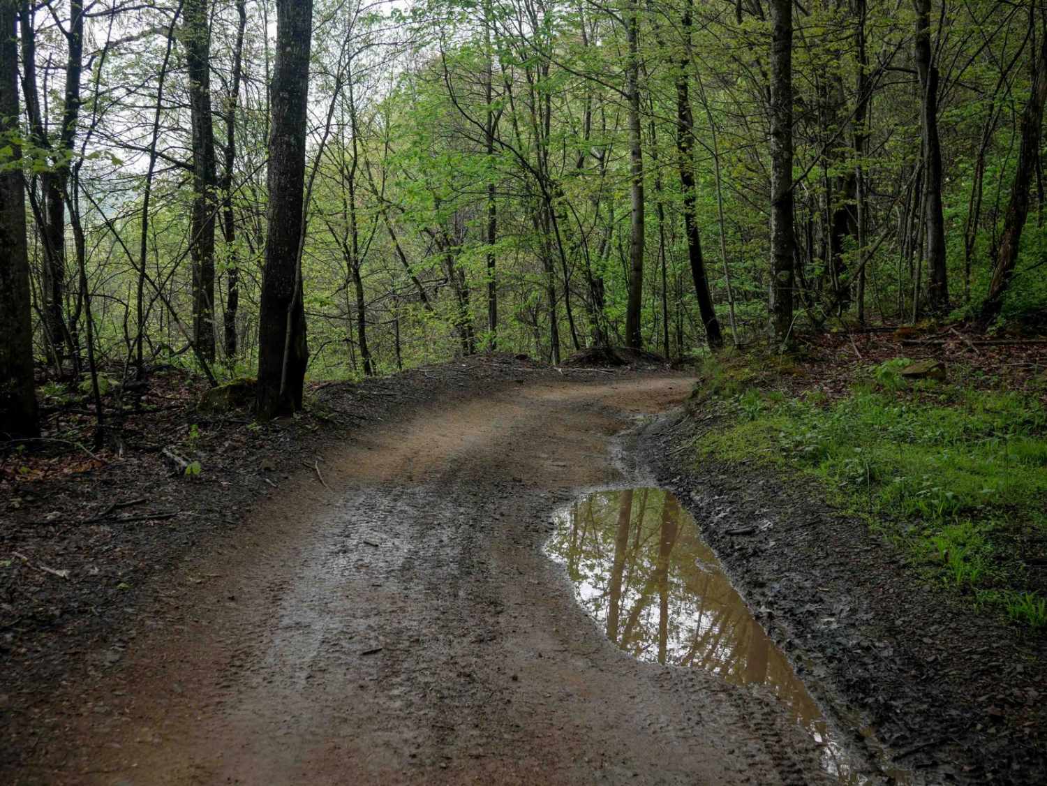
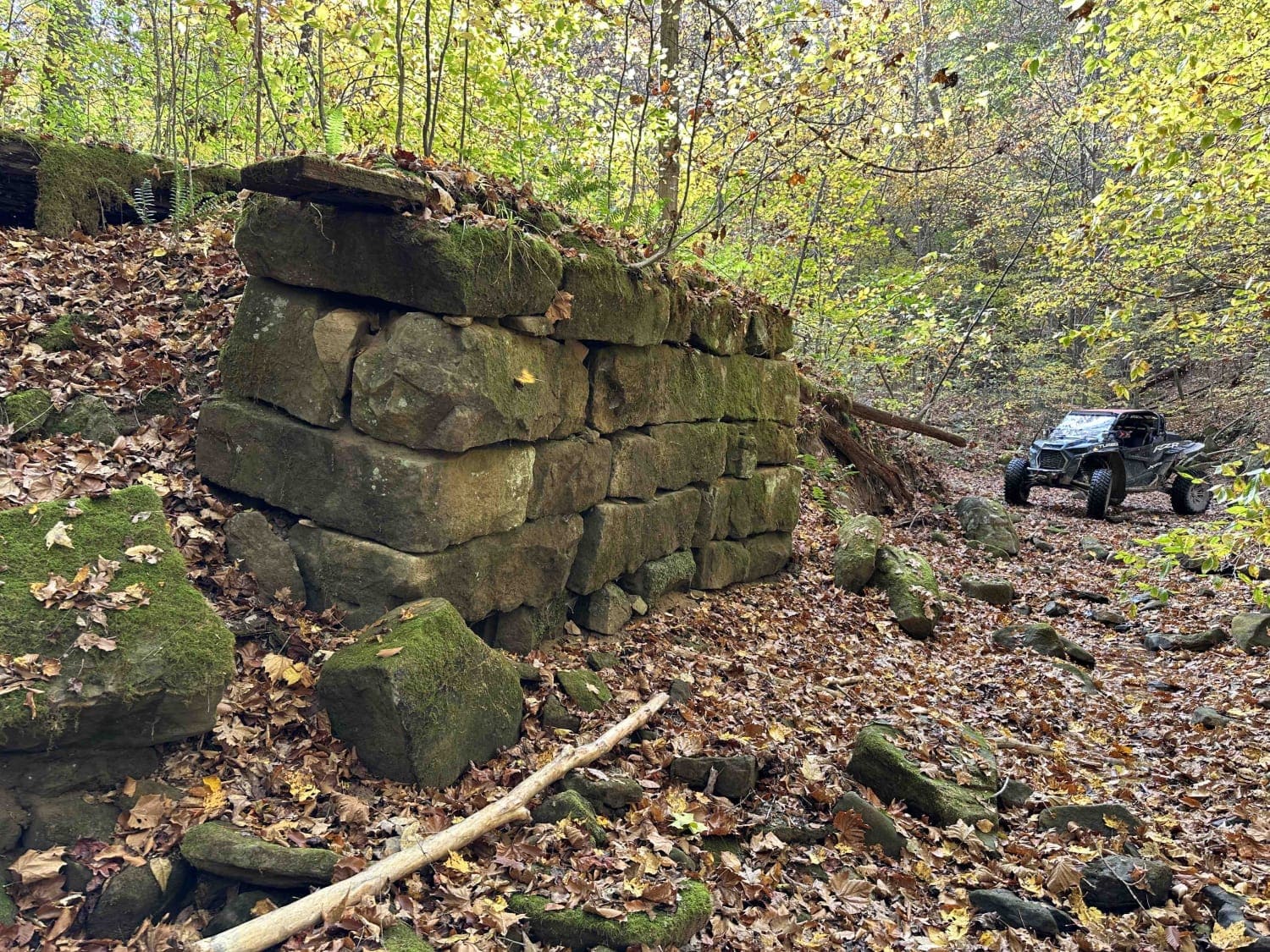
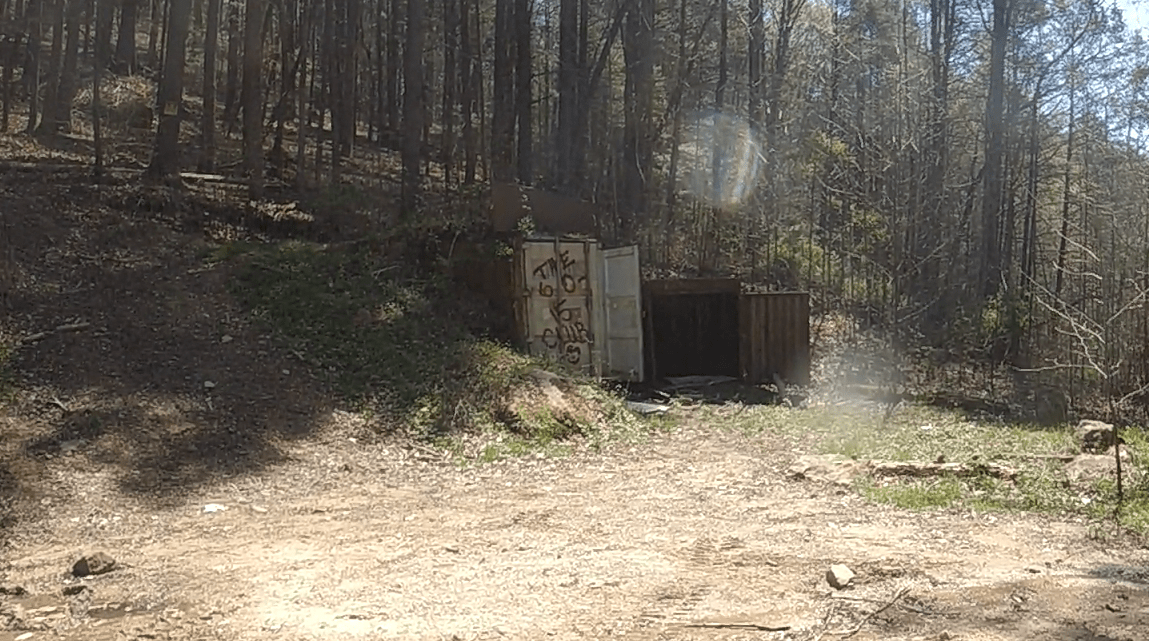
From its northeast entrance, Trail 78 begins as a wide, shelfy path that cuts across a scenic hillside lined with moss-covered rock walls and surrounded by lush forest. The trail surface is generally super smooth with no significant obstacles, though several flat embedded rocks are present. After rain, large puddles may form in low spots. The route offers excellent views off the downhill side, and occasional downed tree branches may be encountered. The route is pretty gradual and flat until then, but at its intersection with Trail 85, it turns right and climbs to a scenic ridgeline, where it becomes curvier with some ruts and minor loose rock, until it ends at Trail 55.
Photos of IR 78
Difficulty
This is an easy SxS route with minor features such as shelfy spots and shallow ruts, ideal for riders of all skill levels. Note that this is marked as More Difficult by the trail system.
Status Reports
IR 78 can be accessed by the following ride types:
- SxS (60")
- ATV (50")
- Dirt Bike
IR 78 Map
Popular Trails

Puncheon Camp Branch
The onX Offroad Difference
onX Offroad combines trail photos, descriptions, difficulty ratings, width restrictions, seasonality, and more in a user-friendly interface. Available on all devices, with offline access and full compatibility with CarPlay and Android Auto. Discover what you’re missing today!