IB 68
Total Miles
0.3
Technical Rating
Best Time
Fall, Spring, Summer, Winter
Trail Type
High-Clearance 4x4 Trail
Accessible By
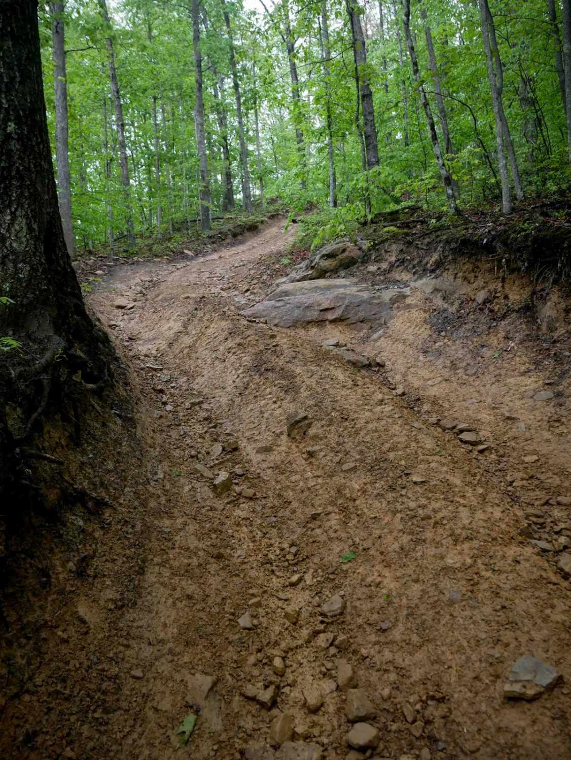
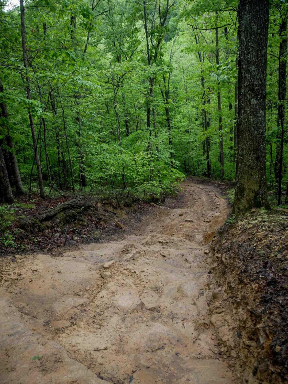
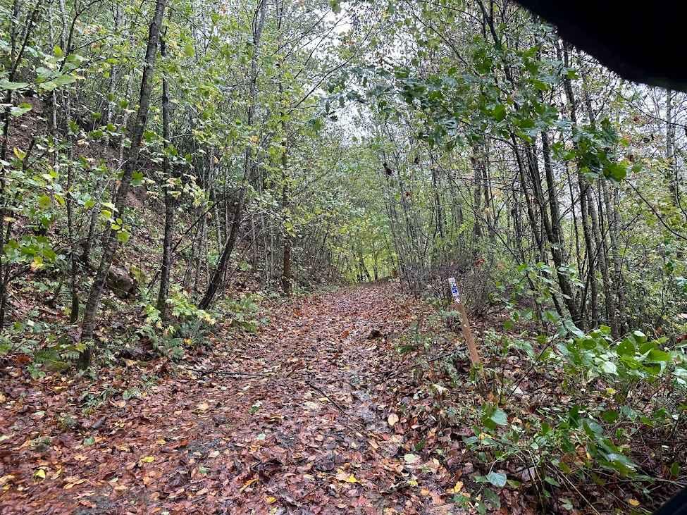
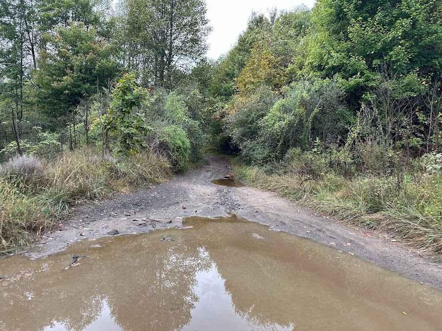
Trail Overview
IB 68 is a narrow, one-lane-width trail with uneven terrain, ruts, loose rocks, and scattered mud puddles. It features several steep descending sections, including a notable rock ramp with embedded ledges about a foot tall that can be slick in wet conditions. Fallen logs and deep ruts continue along a very steep slope, requiring careful tire placement. Due to the combination of steep grades and technical features, this trail is best suited for experienced drivers and is considered intermediate in difficulty.
Photos of IB 68
Difficulty
This is an intermediate trail due to a rock feature and very steep slope. This is considered Most Difficult by Hatfield McCoy's rating system.
Status Reports
IB 68 can be accessed by the following ride types:
- High-Clearance 4x4
- SxS (60")
- ATV (50")
- Dirt Bike
IB 68 Map
Popular Trails


The onX Offroad Difference
onX Offroad combines trail photos, descriptions, difficulty ratings, width restrictions, seasonality, and more in a user-friendly interface. Available on all devices, with offline access and full compatibility with CarPlay and Android Auto. Discover what you’re missing today!